4/9/2005
Seven Springs 050409 05.jpg
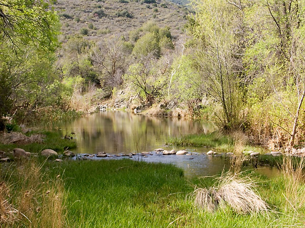
Cave Creek flows west from the recreational area with the trail on the north side.
This is the first crossing. The trail is the path of rocks spanning the creek.
4/9/2005
Seven Springs 050409 06.jpg
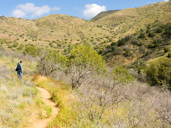
Still heading west after crossing the creek.
4/9/2005
Seven Springs 050409 10.jpg
A view looking back upstream.
4/9/2005
Seven Springs 050409 12.jpg
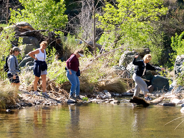
This is the second time the trail crosses the creek. We were not alone along the first part of the hike. Whle we stopped to take a few photos, we were passed by a group of hikers. However, they turned around at the third creek crossing point and headed back the way they came.
4/9/2005
Seven Springs 050409 11.jpg
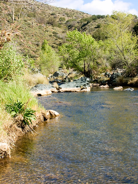
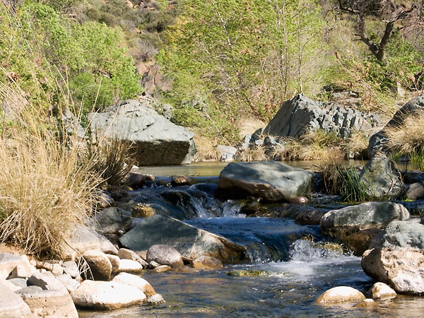
Looking upstream at the second creek crossing.
4/9/2005
Seven Springs 050409 13.jpg
Close-up view of a little water fall just upstream of the second crossing. The area was quite beautiful. It is easy to see why the traffic was so heavy.
4/9/2005
Seven Springs 050409 16.jpg
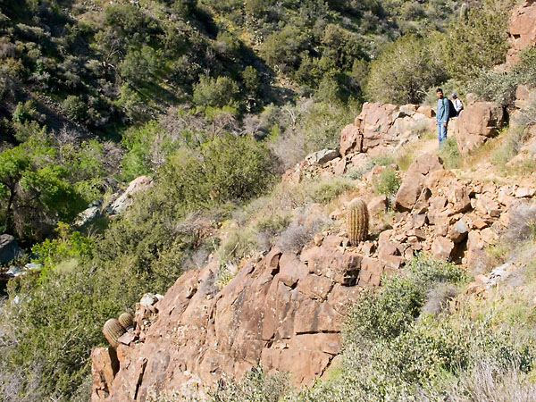
After the second crossing the trail headed up the north west sides of the canyon.
4/9/2005
Seven Springs 050409 17.jpg
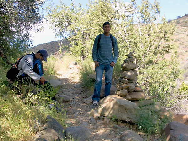
Deepak stands next to the worlds largest cairn (or at least the largest I have seen). This is just after the third stream crossing. A little after this point the trail heads up Skunk canyon.
4/9/2005
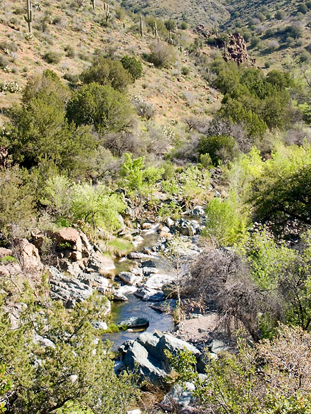
Seven Springs 050409 20.jpg
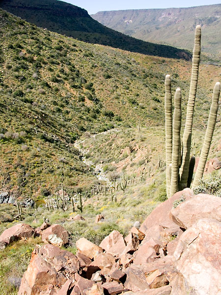
A view looking down Skunk canyon as we climb up. Skunk creek (mostly dry) flows into Cave creek.
4/9/2005
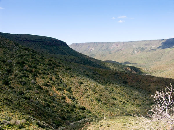
Seven Springs 050409 21.jpg
A more panoramic view from our climb up Skunk canyon. The large mesa in the background is New River mesa (I think).
4/9/2005
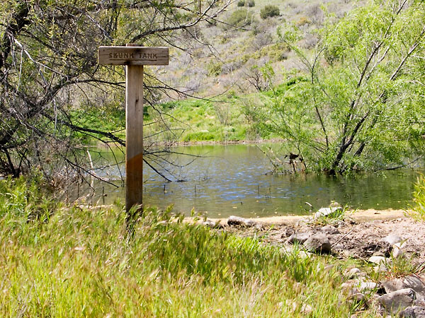
Seven Springs 050409 22.jpg
As the sign says, this is Skunk Tank. At this point we have climbed 1.3 miles and about 670 feet vertical. According to the GPS, we have another mile and another 470 feet vertical to get to the highest point in the hike.
4/9/2005
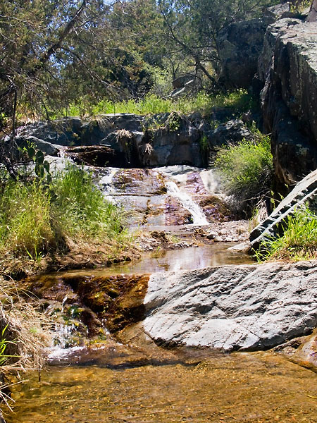
Seven Springs 050409 24.jpg
A little waterfall a short distance off the trail.