


|
|
|
|
|
|
| George Kolb | profile | all galleries >> Galleries >> Walnut Canyon in Arizona | tree view | thumbnails | slideshow |
 |
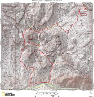 Walnut Canyon Loop Map |
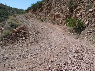
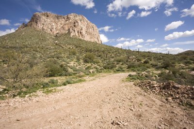
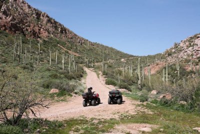
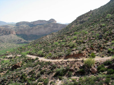 Forest Road After Battle Axe Road |
 |
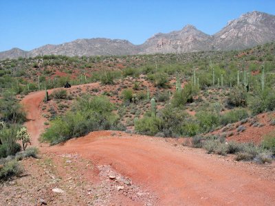
 Switchbacks |
 |
 |
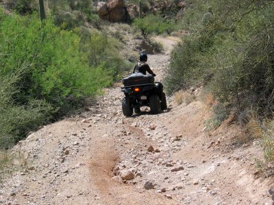
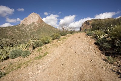
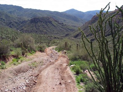
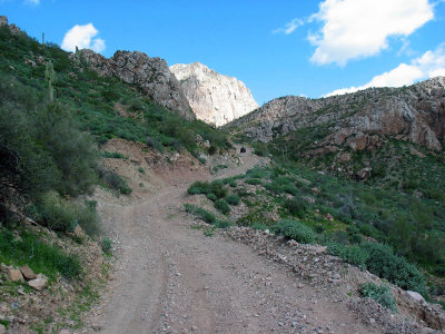
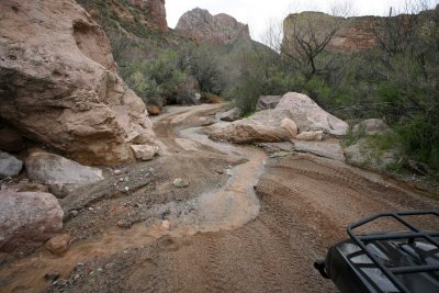
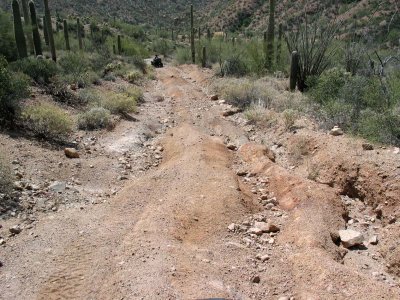 The Road to Hell |
 |
 |
 |
 |
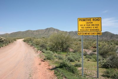
 Arizona State Lands |
 |
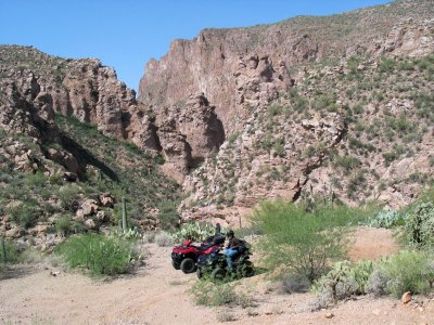
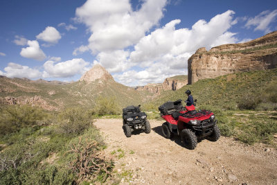
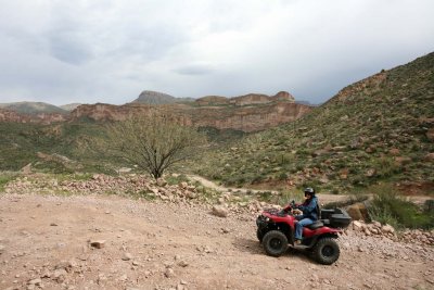
 Lunchtime |
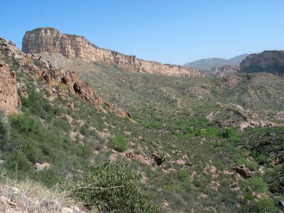
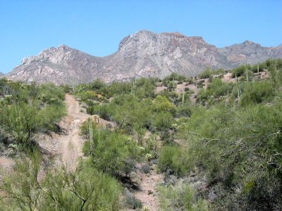
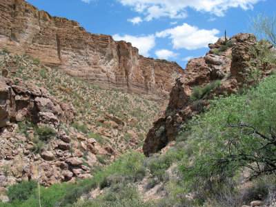
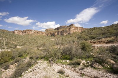
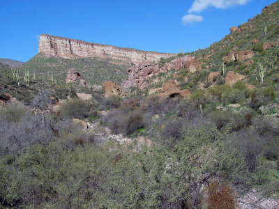
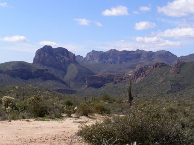
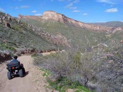
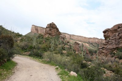
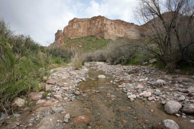
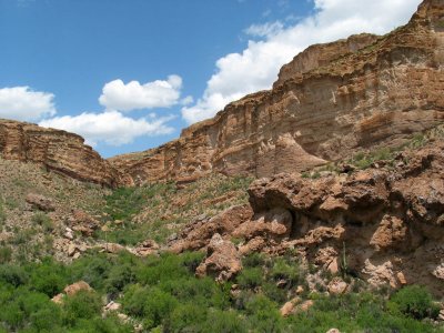 Walnut Canyon |
 |
 |
 |
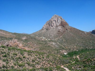
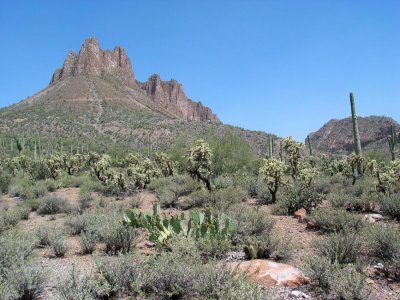
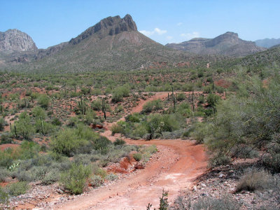
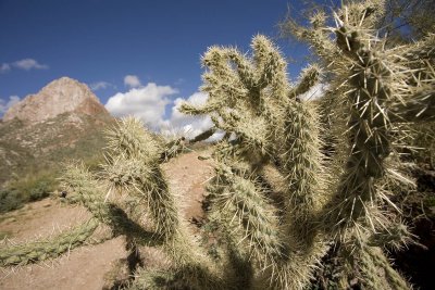
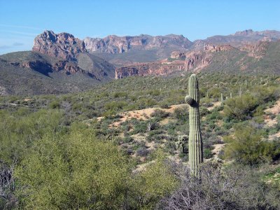
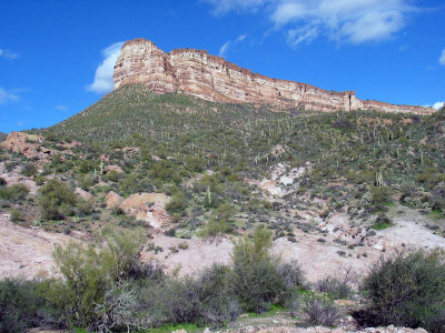
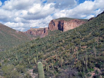
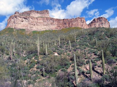
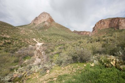
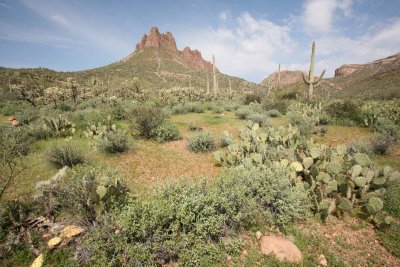
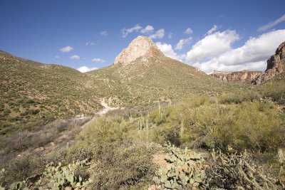 Copper Butte |
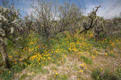
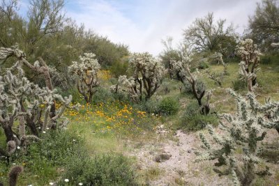
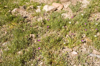 Wildflowers |
 |
 |
 |
 |
 |
 |
 |
 |
 |
 |
 |
 |
 |
 |
 |
 |
 |
 |
 |
 Lilies on High Meadow |
 |
 |
 Overlooking the trail into White Canyon Wilderness Area |
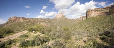 Panorama Around Copper Butte |
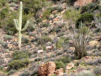 Mountain Sheep |
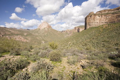
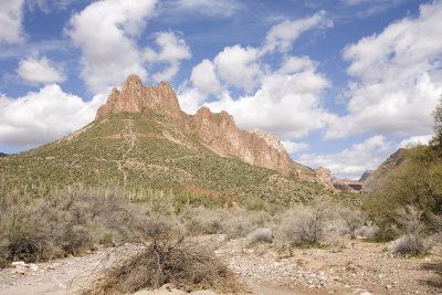
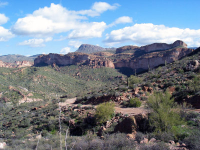
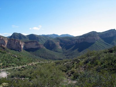
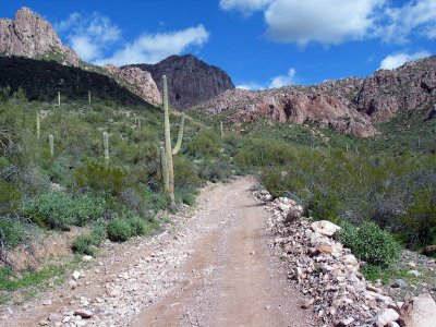
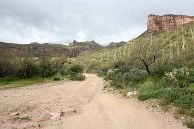
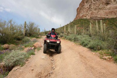
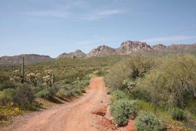
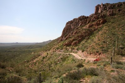
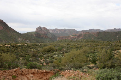 View of Walnut Canyon from Battleaxe Road |
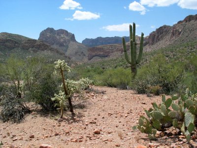
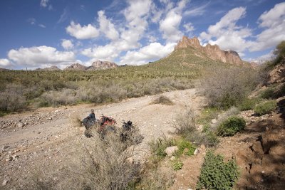
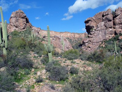
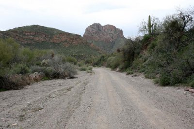 Wash Leading into Canyon |
 Effects of Recent Flooding |
 |
 |
 |
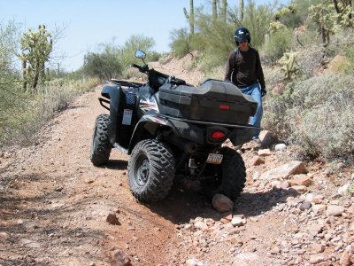
 Hairpin Turn Area |
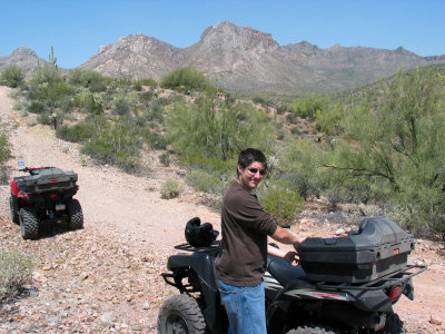
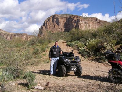
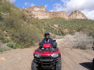
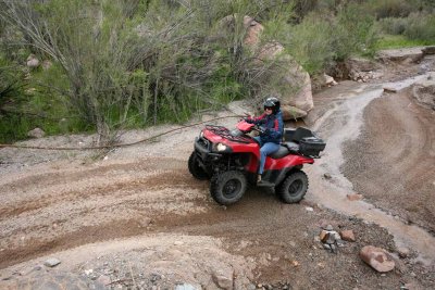
 Paula |
 |
 |
 The Road to Hell |
 Lillies |
 |
 |
 |
 |
 |
| comment | share |