


|
|
|
|
|
|
| George Kolb | profile | all galleries >> Galleries >> Sheep Tank Mine in KOFA National Wildlife Refuge, Arizona | tree view | thumbnails | slideshow |
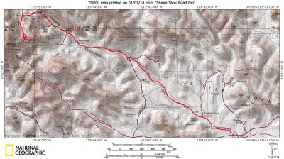 Sheep Tank Road Map |
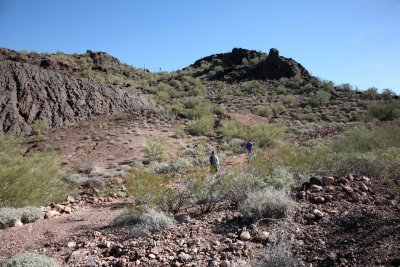
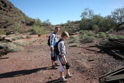
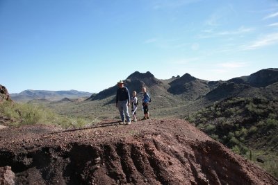
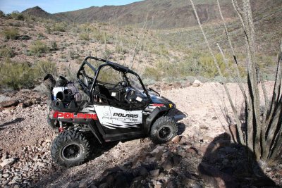
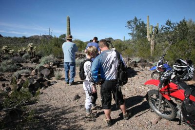 Trying to Figure Out Which Way to Go |
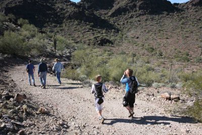
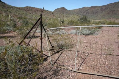
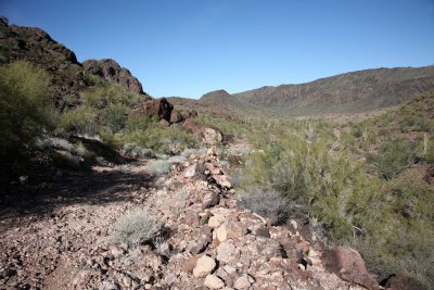
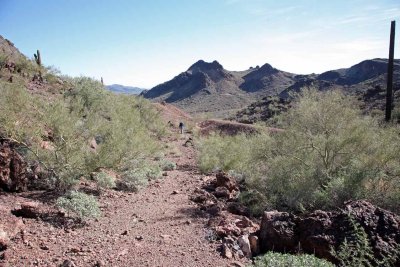
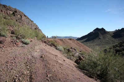
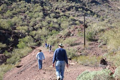
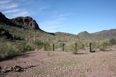
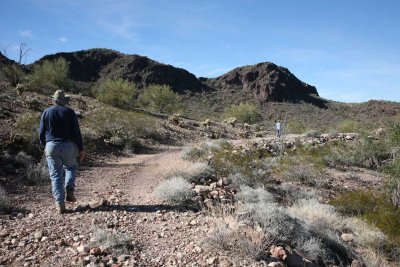 End of the Road for Vehicles, Must Walk Now |
 |
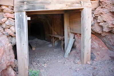
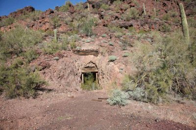
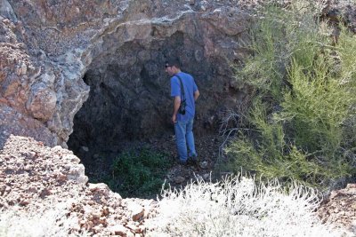 First Mineshaft Found |
 |
 |
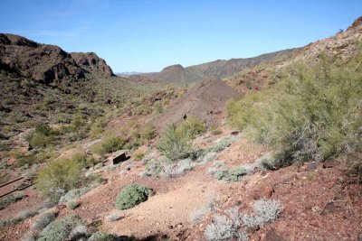
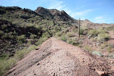
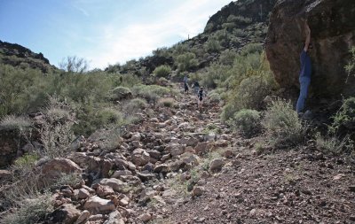 Road Worsens Climbing to the Other Shafts |
 |
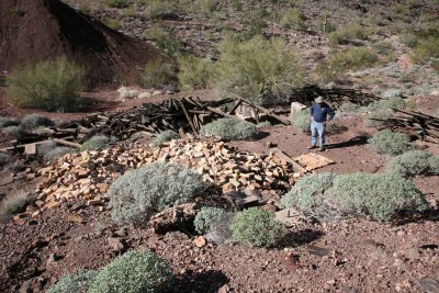
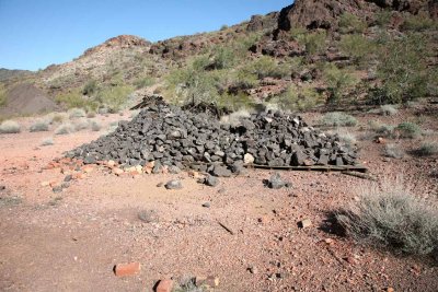
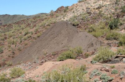
 A Huge Tailings Mound |
 |
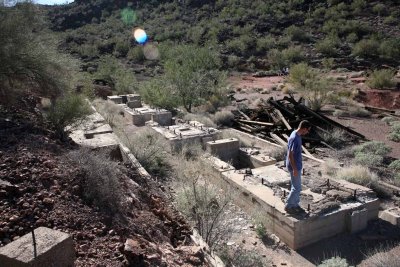
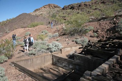 Many Concrete Foundations |
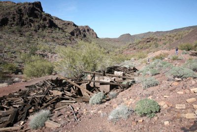
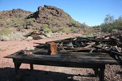
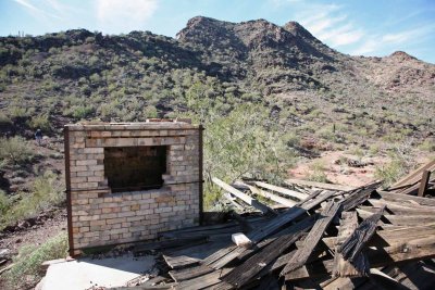
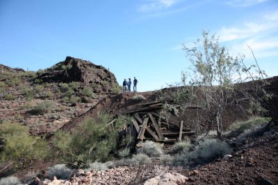
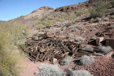 Several Collapsed Buildings |
 |
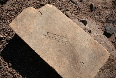 Firebrick from California |
 |
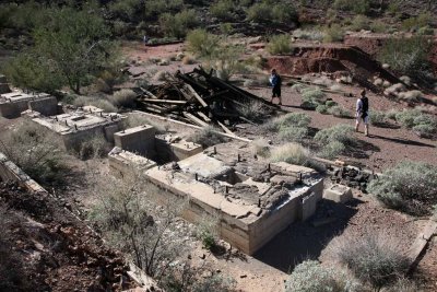 |
 100 Ton Cyanide Mill Site |
 |
 |
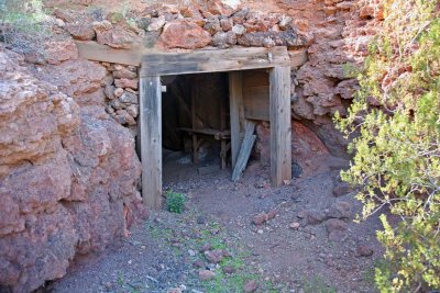 A Major Shaft |
 |
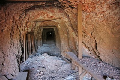 The Shaft Goes Completely Through the Mountain |
 |
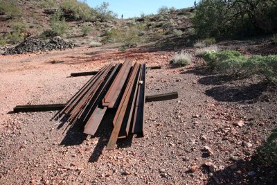 |
 Load of Ore on Skids |
 |
 Road to Another Main Shaft |
 Extended Tailing Dam |
 |
 |
 The Resolution Vein |
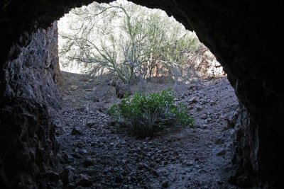
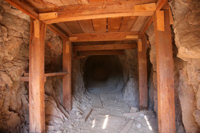 Inside the Opening |
 |
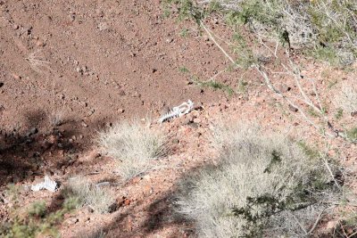 Most Likely Desert Sheep Pelvis and Backbone |
 Waste Tailings from the Cyanide Mill |
 |
 |
 |
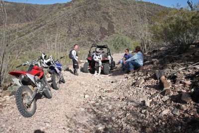 Getting Ready to Head Back |
| comment | share |