photo sharing and upload picture albums photo forums search pictures popular photos photography help login
Type your message and click Add Comment
It is best to login or register first but you may post as a guest.
Enter an optional name and contact email address. Name
Name Email
help private comment
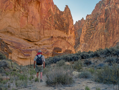
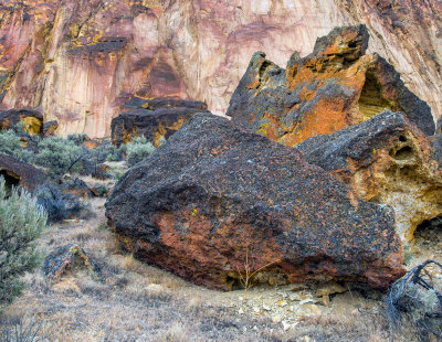
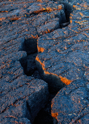
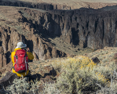
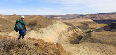
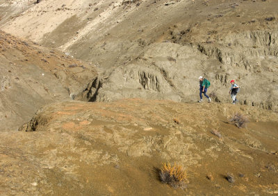
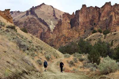
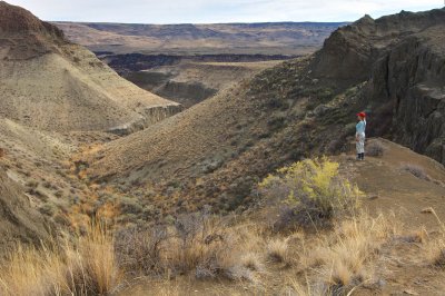
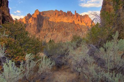
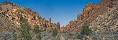
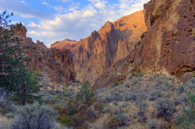
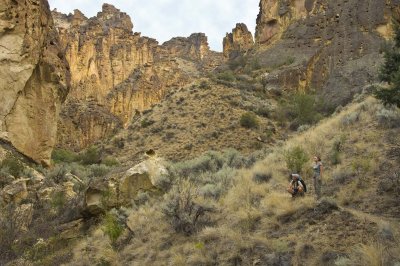
Greg Burke | profile | all galleries >> THE OREGON HIGH DESERT [5 galleries] >> OWYHEE CANYONLANDS gallery tree view | thumbnails | slideshow | map

OWYHEE CANYONLANDS gallery

Photos from exploring and camping in the Owyhee canyonlands area; S.E. Oregon..

'The Owyhee Canyonlands, located in the southeast corner of Oregon and extending into Idaho and Nevada, represents one of the largest unprotected wild places still found in the lower 48 states.

The diverse landscape of the Owyhee region consists of a maze-like system of steep, colorful river canyons slicing through a broad sagebrush sea and juniper-covered mountains. The biologically rich area is home and critical habitat to California bighorn sheep, redband trout, sage grouse, pronghorn antelope, elk, deer, raptors and songbirds.
The remote and rugged Owyhee region is one of the few places left in the disappearing American West where one can still experience the stark, silent beauty of the high desert and traverse the rugged country on its own unforgiving, challenging terms'. {ONDA}
g9/68/169568/3/162092075.g2fuiUgE.jpg Antelope Canyon Owyhee river near 5 Bar g9/68/169568/3/162067714.ewIWoTSw.jpg
below 5 bar 5 bar ranch Owyhee River confluence camp
Honeycombs canyon Honeycombs canyon Jordan craters w little owyhee
 Twin Springs Gorge twin springs sunset still life with tripod  Antelope Canyon
g9/68/169568/3/152824874.9LVlBJk7.jpg g9/68/169568/3/152823865.BPjQsL9d.jpg west little owyhee river leslie gulch rd.
Honeycombs canyon honeycombs canyon Honeycombs canyon pinnacle ranch/owyhee river
batch lake bunk house camp / chalk basin petroglyph, owyhee river water pocket petroglyph
jordan craters lava batch lake / jordan craters chalk basin sunrise tent-chalk basin
owyhee river overlook-chalk basin.  hiking in chalk basin Dago gulch hikers chalk basin
chalk basin slocum creek / leslie gulch juniper canyon / leslie gulch leslie gulch
leslie gulch leslie gulch pano leslie gulch   Leslie gulch side canyon
Leslie gulch / slocum cr. BLM campground_Panorama leslie gulch camp. juniper canyon birch cr road
jordan craters camp jordan craters lava flow sunset/ jordan craters coffee pot crater panorama
succor cr. / great red paintbrush succor cr canyon succor cr Danning
3 forks warm spring 3 forks camp Owyhee river petroglyph hop in
pinnacle ranch