


|
|
|
|
|
|
| Tony Hobbs | profile | all galleries >> My Walks. >> A quick step through Dartmoor's hail and snow storm and sun. 13.12.11 | tree view | thumbnails | slideshow |
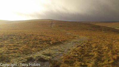
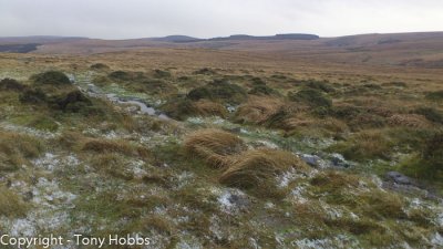 On the path from Scorhill Down towards Hound Tor. |
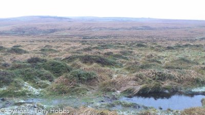 Ditto. Flooded path / track. |
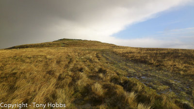
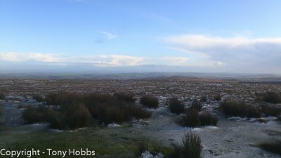
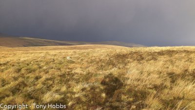 View from near Hound Tor. |
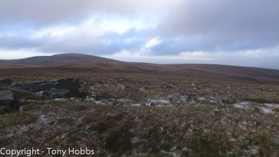
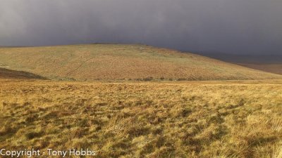 Steeperton Tor from path between Hound / Wild Tor. |
 Hound Tor. |
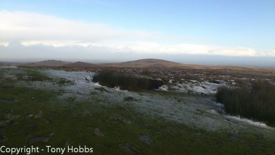
 Wild Tor. |
 Wild Tor. |
 Hangingstone Hill. Snow and hail. |
 Hangingstone Hill. Snow and hail. |
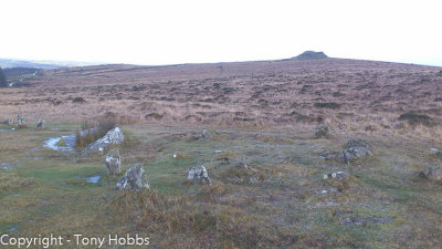 Kestor Rock and stone circles by path. |
| comment | share |