


|
|
|
|
|
|
| Peiying Mo | profile | all galleries >> Travel >> Turkey >> Other Regions >> Southeastern Turkey | tree view | thumbnails | slideshow |
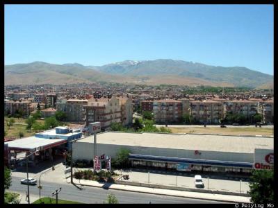 All apartment buildings are equipped with solar energy system |
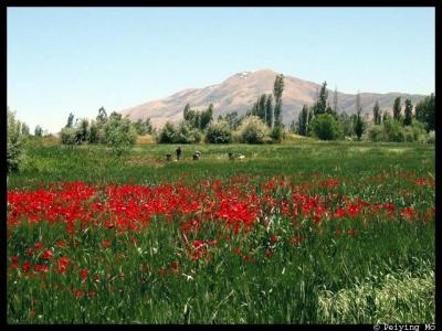 Jet red poppies are in their peak form |
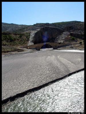
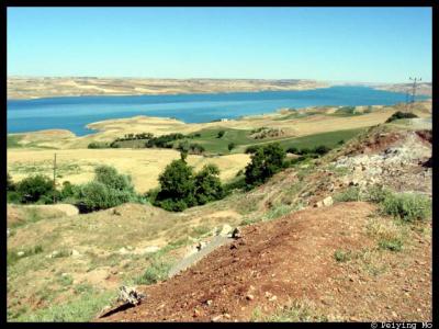 Ataturk Dam |
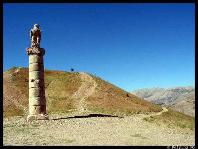 Karakus Tumulus -- from this point, Mt. Nemrut is clearly visible |
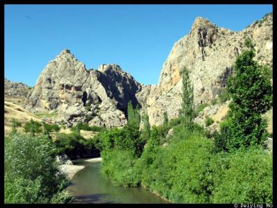
 Cendere River, a branch of the Euphrates River |
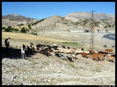 Herds of sheep, goats and cows |
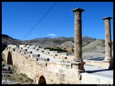 Cendere Bridge -- An Roman bridge built in 2nd century AD |
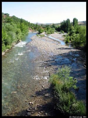 Euphrates River |
 Enroute to Mt. Nemrut |
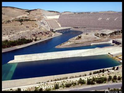 Ataturk Dam -- one of the largest in the world |
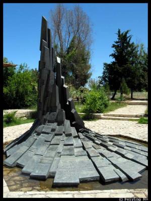 Monument bears the names who sacrificed their lives |
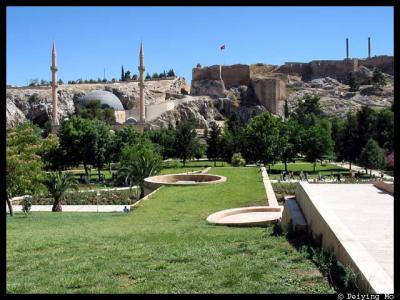 Citadel built over many centuries bears influences from many periods |
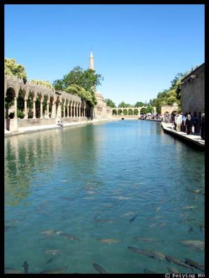 Golpasi -- Pool of Abraham |
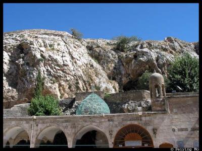 Cave where Prophet Abraham was born |
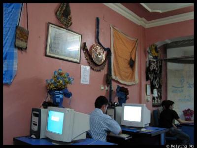 My guide Edip responds to clients' email at an internet cafe |
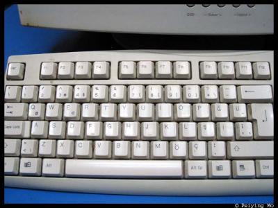 Turkish keyboard, notice where letter "i", and keys of common punctuations are. |
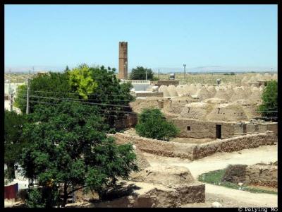 Harran is about 10 miles north of Syria |
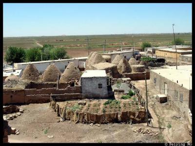
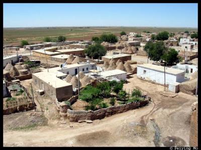 View of the village |
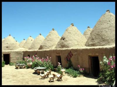 Behive shaped houses |
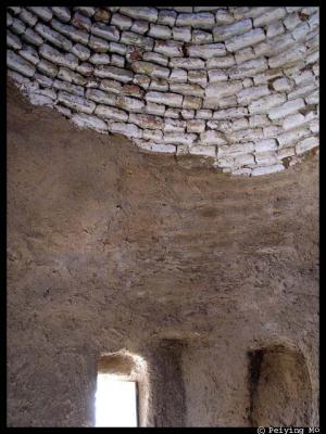 Tiny windows and skylight for ventilation |
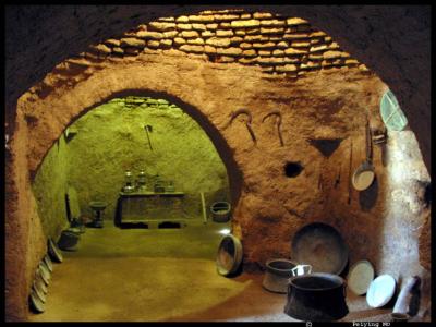 Kitchen in the beehive shaped houses |
 A typical backyard of a family |
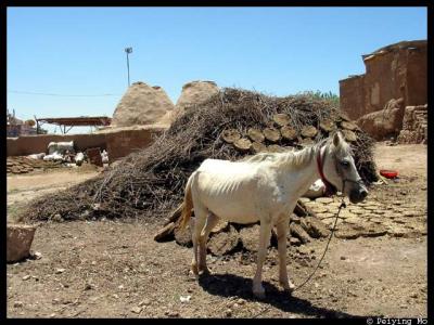 Cow dungs |
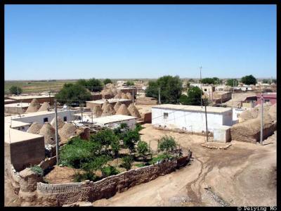 Many build modern housing next to the old houses which are used for storage |
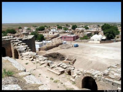 View of the village from a crumbling castle |
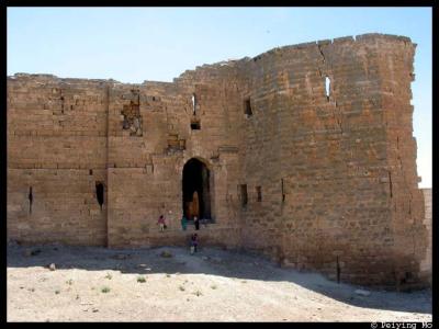 Crumbling ancient fortress |
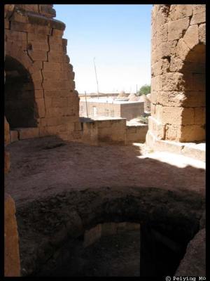 Watch your step: walking around the old castle |
 Old castle where people used to live and horses fed |
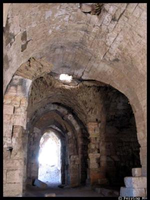
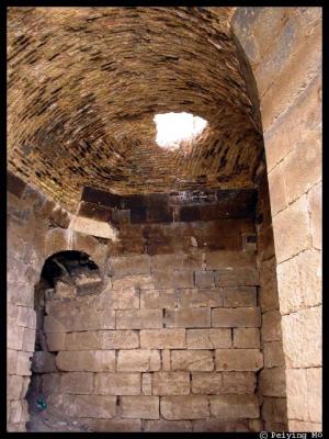 The swhirl design in the ceiling |
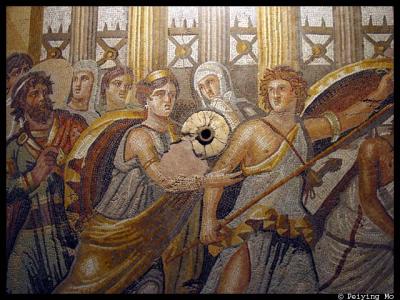 Gaziantep Museum holds some of the finest mosaics |
| comment | share |