


|
|
|
|
|
|
| Peiying Mo | profile | all galleries >> Travel >> Peru >> 4-Day Hike on the Inca Trail >> Day 3: Pacayamayo to Phuyupatamarca | tree view | thumbnails | slideshow | map |
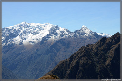
 The thunderstorm from previous night left some snow on the mountain range |
 With snowpack, waterfall, and campground behind us, we are heading up again |
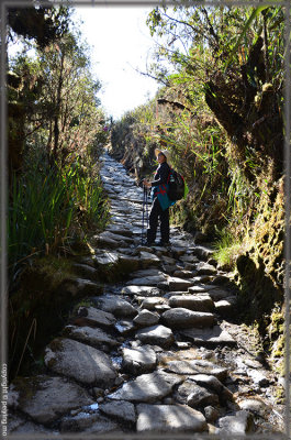
 Up and up for 300m straight |
 Inca ruin at Runkurakay |
 |
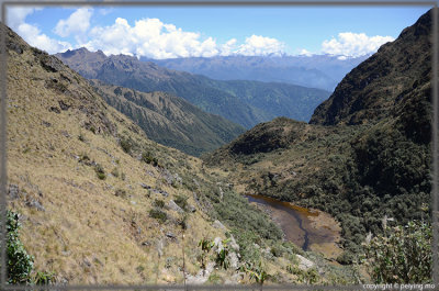
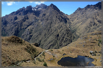 Dead Woman's Pass is at the bottom of the V shape mountain range |
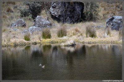 Two ducks playing at this seasonal pond |
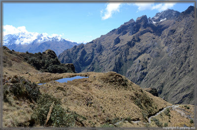 Another pond on the other side of the trail |
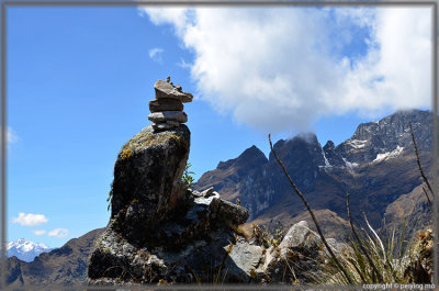 Hikers pile up rocks when they walk by the 2nd pass |
 |
 We enter another range |
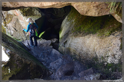 Tunnel |
 River bed is drying up |
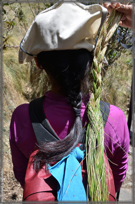 Braids made of dead grass along the trail - they were used to move boulders in the Inca era. |
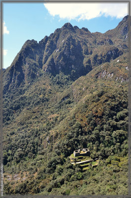
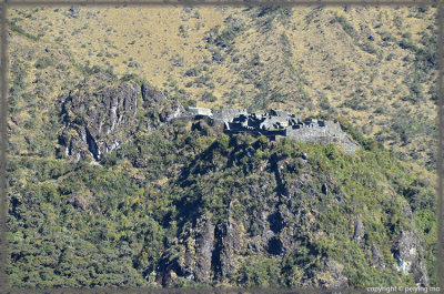
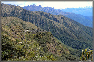 Can you see Sayacmarca on the hill side? |
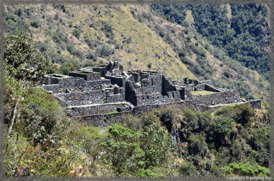 View of Sayacmarca |
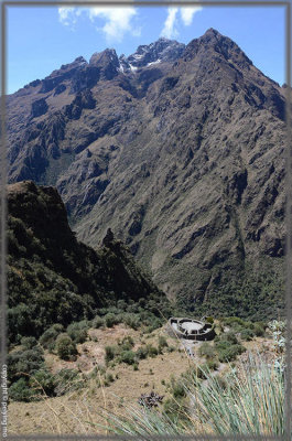
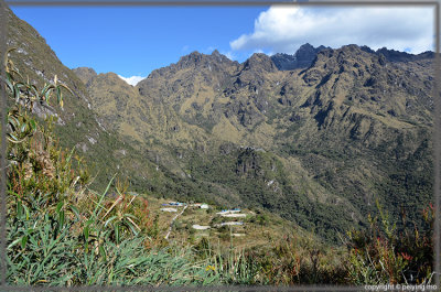
 Conchamarca, a smaller ruin is across the valley |
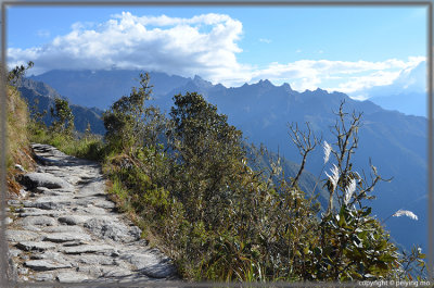
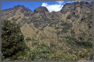 There are trails on this hill side, if you can see them |
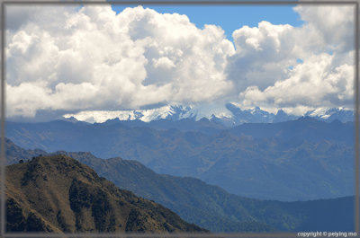 Low hanging clouds and snow packed peaks now are one |
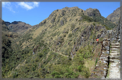 The trail on the hill side leading to Sayacmarca ruin |
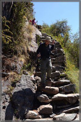 Steep and uneven steps to get to Sayacmarca ruin |
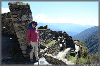
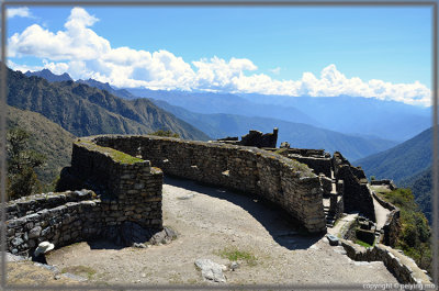 Touring Sayacmarca |
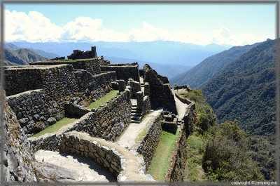 It's above the cloud forest |
 This wall is purposely built leaning to one side to sustain earthquake |
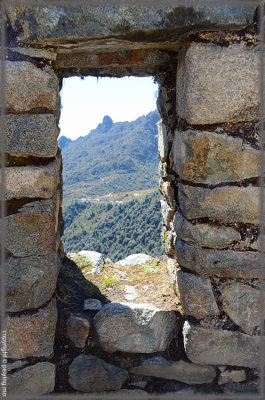 Looking out from a window at Sayacmarca ruin |
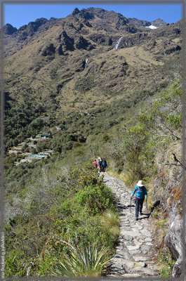
 Our lunch spot is still quite a long way away |
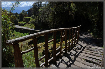 One of the strong bridges on this trail |
 We are in a different climate zone all of a sudden |
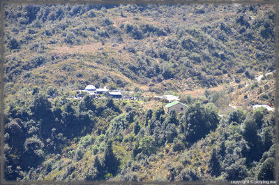
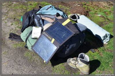 Solar panel to power satellite phone in case of emergency |
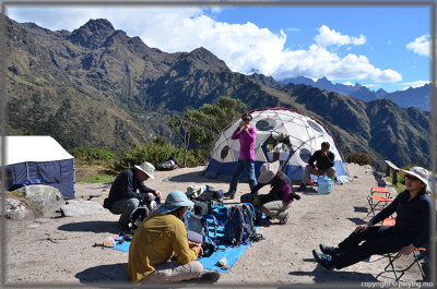 Time for lunch |
 View of Sayacmarca from our lunch spot |
 Our lunch spot is far behind us |
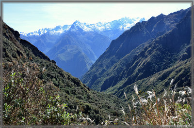
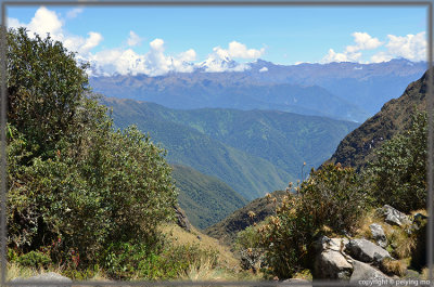
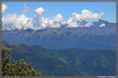
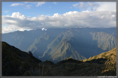
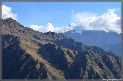 View of Mount Veronika |
 |
 |
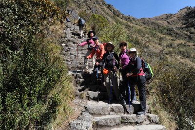
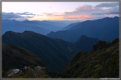
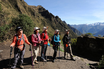 Enjoying the view |
 |
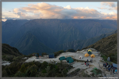 Reaching our camp ground in time for sunset |
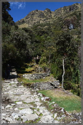
 An ancient Inca ruin is not far from our camp ground |
 Chef special for the special occasion: Chinese Mid-Autumn Festival |
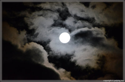 The full moon playing peek-a-boo with the clouds |
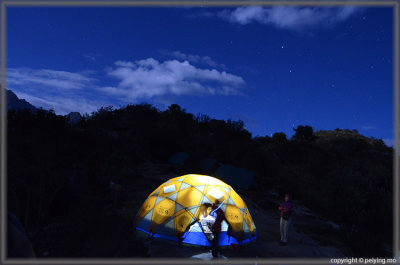 Starry starry night |
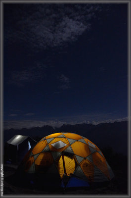 Last night camping under clear skies |
| comment | share |