


|
|
|
|
|
|
| ecoRidge | profile | all galleries >> Artful Maps >> Photo Maps | tree view | thumbnails | slideshow |
| previous page | pages 1 2 3 4 5 6 7 8 ALL | next page |
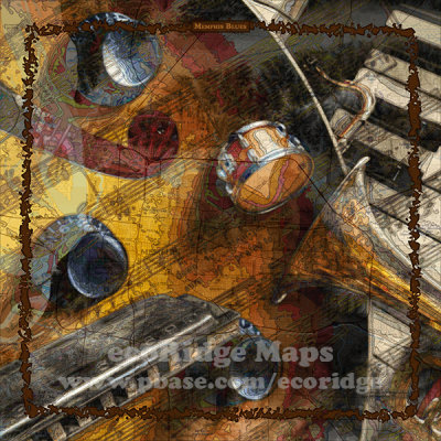 Memphis Blues |
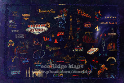 Neon Vegas |
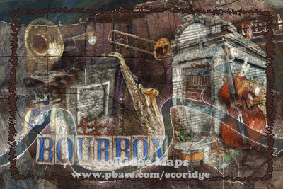 NOLA Vibes |
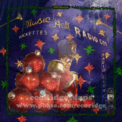 NYC Holidays |
 Florida Birds |
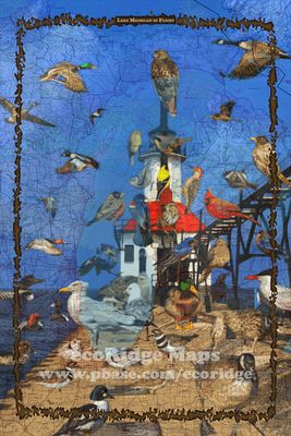 Lake Michigan in Flight |
 Mount Birdmore |
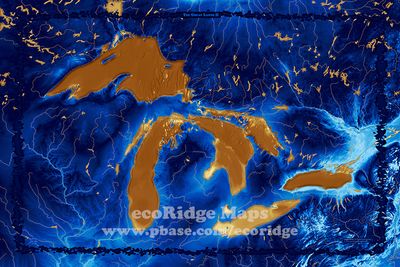 The Great Lands II |
 The Cape Vibe |
 Long Island Sound |
 Wine Country Napa |
 Sleepy Blue Land |
| previous page | pages 1 2 3 4 5 6 7 8 ALL | next page |
| comment | share |