


|
|
|
|
|
|
| ecoRidge | profile | all galleries >> Artful Maps >> Photo Maps | tree view | thumbnails | slideshow |
| previous page | pages 1 2 3 4 5 6 7 8 ALL | next page |
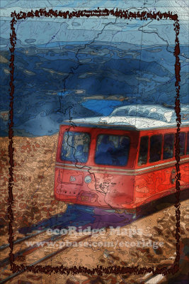 Pikes Peak Cog |
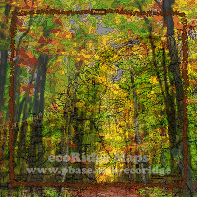 Porkies |
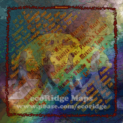 Beatlemania |
 Rastaman Vibration |
 Deadheads |
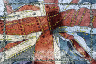 British Invasion London |
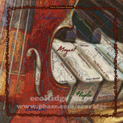 First Viennese School |
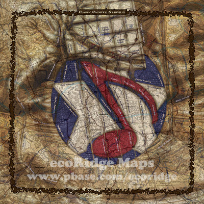 Classic Country, Nashville |
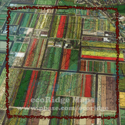 Tuliptime |
 Birth of Independence |
 Broadway |
 Laissez les Bons Temps Rouler |
| previous page | pages 1 2 3 4 5 6 7 8 ALL | next page |
| comment | share |