


|
|
|
|
|
|
| ecoRidge | profile | all galleries >> Artful Maps >> Photo Maps | tree view | thumbnails | slideshow |
| previous page | pages 1 2 3 4 5 6 7 8 ALL | next page |
 Endless Love |
 Golden Hour |
 Naples Sunset |
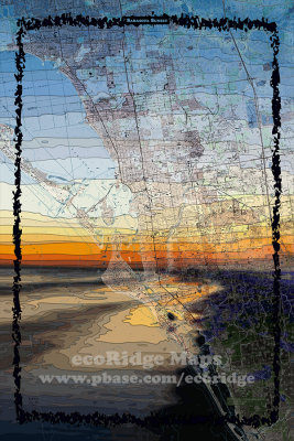 Sarasota Sunset |
 South Beach Vibe |
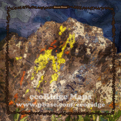 Grand Teton |
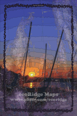 Grand Traverse |
 Land Above the Trolls |
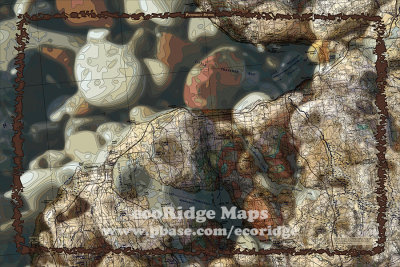 Petoskey Stone |
 Trail Ridge |
 Up North |
 Yellowstone Bison |
| previous page | pages 1 2 3 4 5 6 7 8 ALL | next page |
| comment | share |