


|
|
|
|
|
|
| ecoRidge | profile | all galleries >> Artful Maps >> Photo Maps | tree view | thumbnails | slideshow |
| previous page | pages 1 2 3 4 5 6 7 8 ALL | next page |
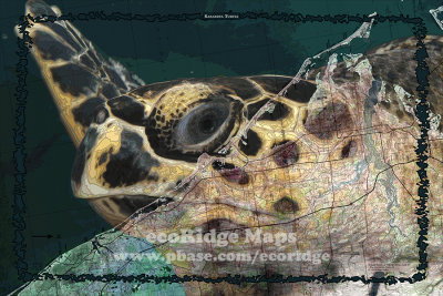 Sarasota Turtle |
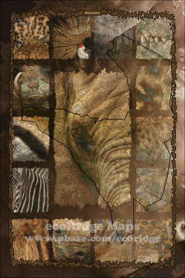 Serengeti |
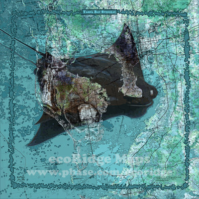 Tampa Bay Stingray |
 Tennessee Whiskey, East Central |
 Wrigley |
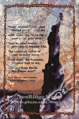 Yearning to Breathe Free |
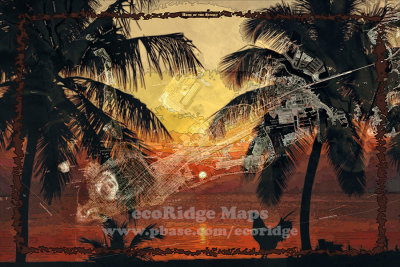 Home of the Sunset |
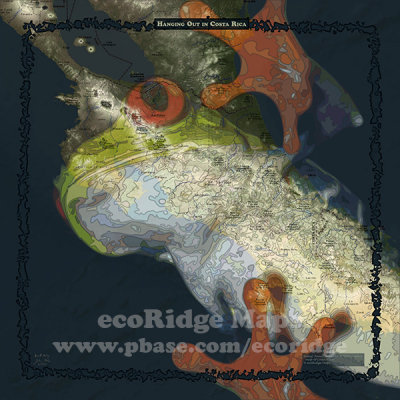 Hanging Out in Costa Rica |
 On Key Time |
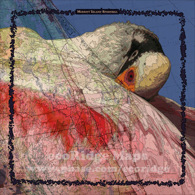 Merritt Island Spoonbill |
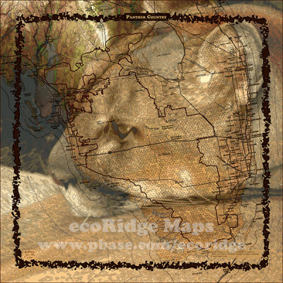 Panther Country |
 East Coast Oats, Jupiter |
| previous page | pages 1 2 3 4 5 6 7 8 ALL | next page |
| comment | share |