


|
|
|
|
|
|
| ecoRidge | profile | all galleries >> Artful Maps >> Photo Maps | tree view | thumbnails | slideshow |
| previous page | pages 1 2 3 4 5 6 7 8 ALL | next page |
 A T |
 Aspen Roots |
 Avenue of the Giants |
 Blue Ridge Reverie |
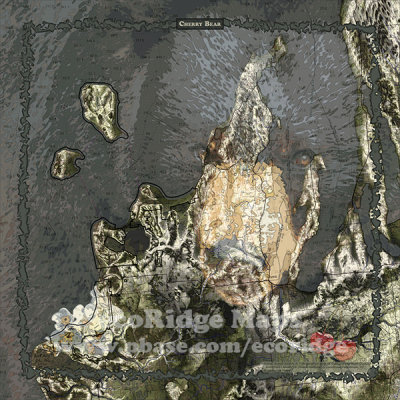 Cherry Bear |
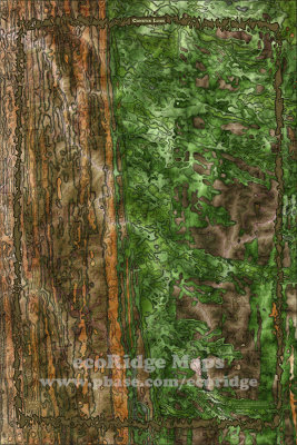 Conifer Lush |
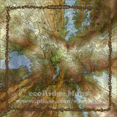 Giants in the Clouds |
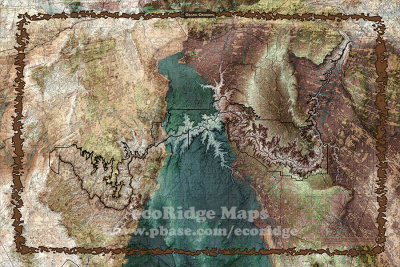 Grand Crossing |
 Heavenly Beauty |
 Michigan Light |
 MotorTown |
 Pictured Rocks |
| previous page | pages 1 2 3 4 5 6 7 8 ALL | next page |
| comment | share |