


|
|
|
|
|
|
| DRH | profile | all galleries >> Galleries >> West and East Rattlesnake Mountain Hike - 04/30/10 | tree view | thumbnails | slideshow |
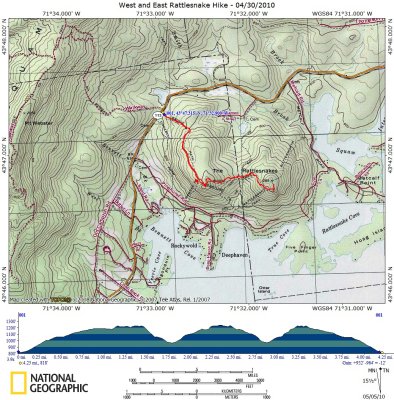 Rattlesnake Mountains Hike on Topographical Map |
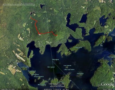 Rattlesnake Mountains Hike on Google Earth Image |
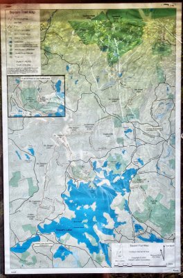 Squam Trail Map |
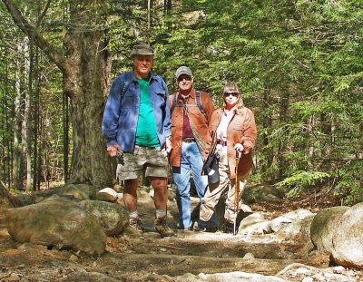 Ready to Begin Climbing |
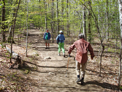 On the West Rattlesnake Trail |
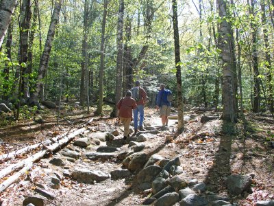 Well-Maintained Trail |
Panorama View Near West Rattlesnake Peak |
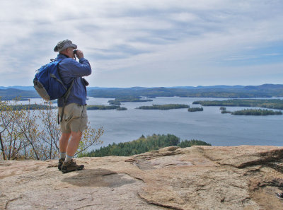
 At the Peak of West Rattlesnake |
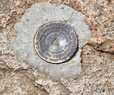 US. Coast & Geodetic Survey Marker on West Rattlesnake |
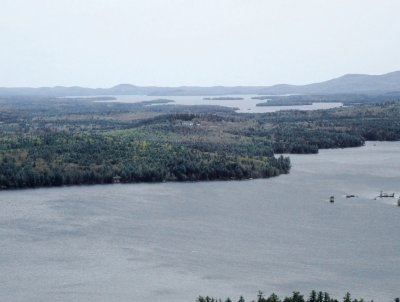
 View of Squam Lake from West Rattlesnake |
 At the Peak - Overlooking Squam Lake |
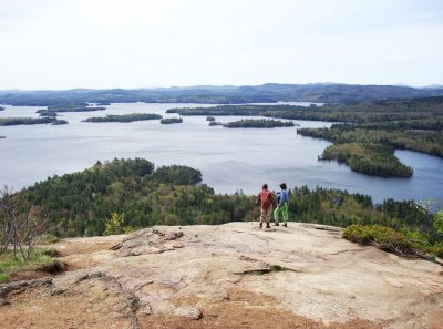 What a View! |
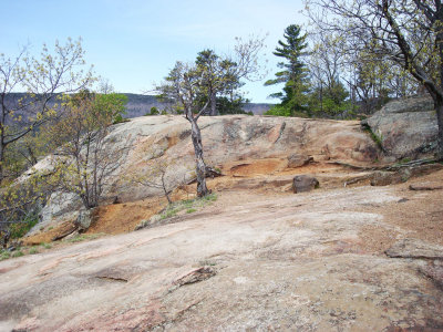 Interesting Rock Formation at Peak |
Panorama View from Peak of West Rattlesnake |
 Sign at Peak |
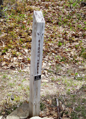 Ridge Trail Marker |
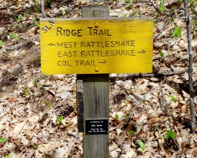 Ridge Trail Sign |
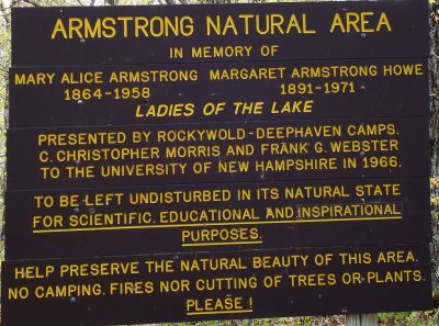
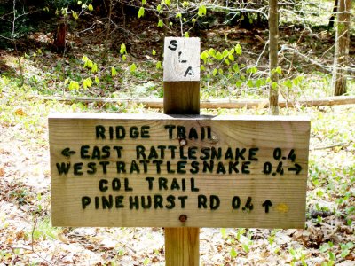 Ridge Trail Information Sign |
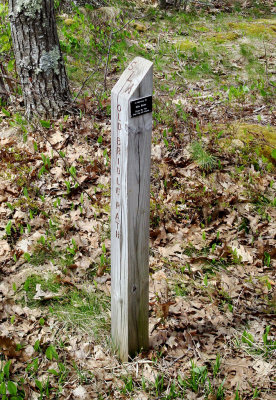 Old Bridal Path Marker |
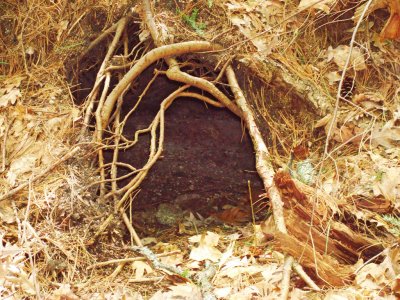 Animal Den in Old Tree Stump |
Panorama View from Peak of East Rattlesnake |
 Lake Winnipesaukee from East Rattlesnake |
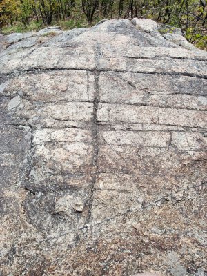 Interesting Rock Striations at East Rattlesnake's Peak |
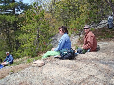 Lunch on East Rattlesnake's Peak |
Annotated East Rattlesnake Panorama - Courtesy of Dave Roberts |
| comment | share |
| joseantonio | 06-May-2010 03:02 | |