


|
|
|
|
|
|
| DRH | profile | all galleries >> Galleries >> Mt. Flagg Hike - 06/25/10 | tree view | thumbnails | slideshow |
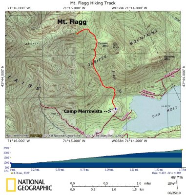 Track to Peak on Topographical Map |
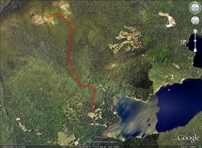 Track to Peak on Google Earth Satellite Image |
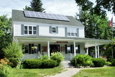 Camp Merrowvista Office |
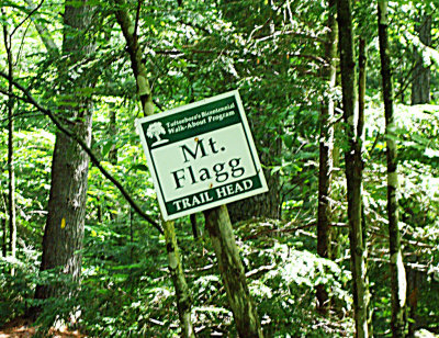 Trailhead Sign |
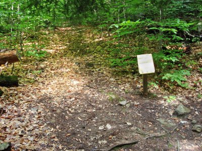 Stay Left Here - Ledges Trail is on Right |
 Hanging Tree Trunk |
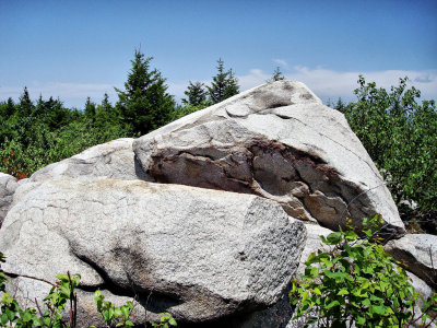
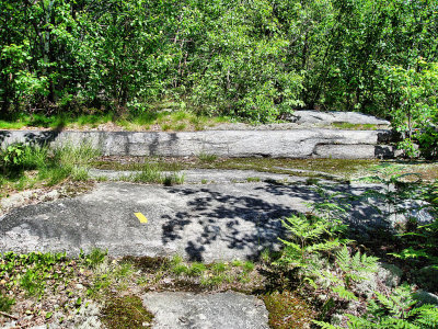 Interesting Granite Ledge Formation |
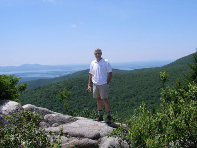
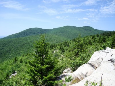
 View of Green Mountain from near the Mt. Flagg Summit |
 Mt. Flagg Summit |
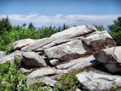 Another View of the Summit Rock Formation |
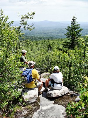
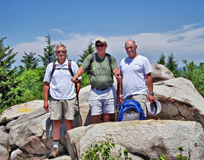 Don, Paul, & Rich at the Summit |
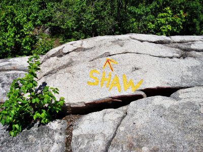 Summit Trail to Mt. Shaw |
 Paul |
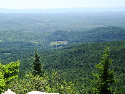 Looking Down on Camp Merrovista |
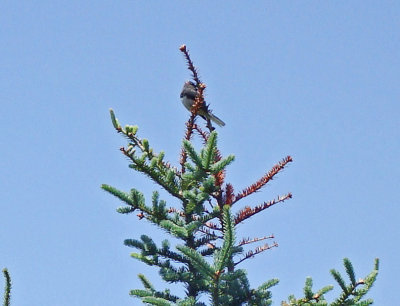 Slate (Northern) Junco Singing at the Summit |
 Don |
 View of Mt. Shaw |
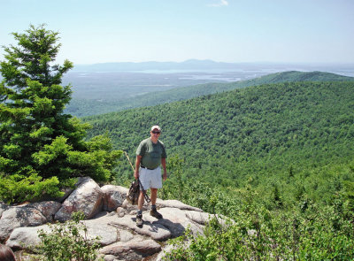
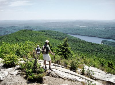 Rich & Paul Overlooking Dan Hole Pond |
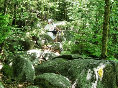 Bev in Rock Formation on Trail Down |
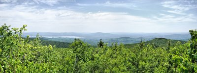 Panorama View Near The Peak |
180 Degree Panorama View From Peak |
360 Degree Panorama View From the Peak |
| comment | share |