


|
|
|
|
|
|
| Mohan Family | profile | all galleries >> Galleries >> Ireland 2006 | tree view | thumbnails | slideshow |
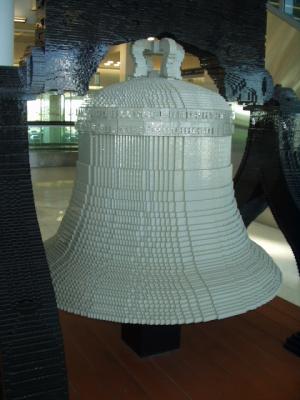
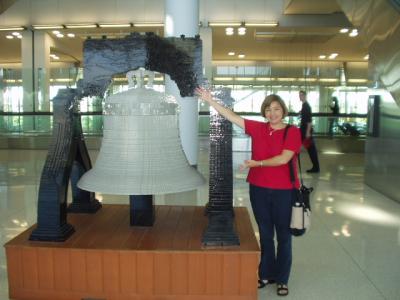 Philly airport: Liberty Bell made of Legos |
 Took these pics for Tim |
 Lego Liberty Bell |
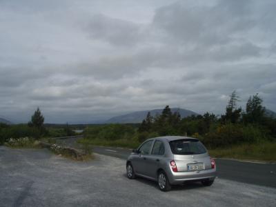
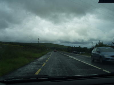
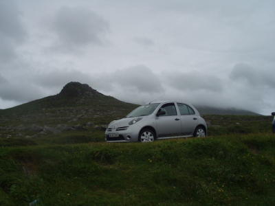
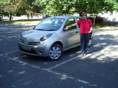 Our rental car was the perfect size for the Irish roads, but we had to pile our luggage in the back seat when the trunk was full |
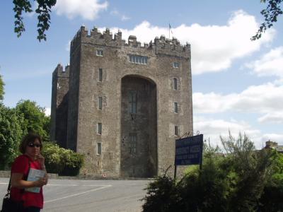 Our first stop, Bunratty Castle, near Limerick |
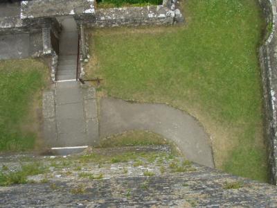
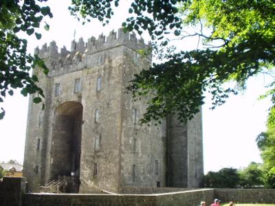 Bunratty Castle |
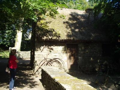
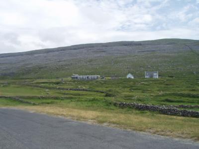
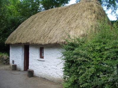 Bunratty Folk Park, a typical Irish village from the past |
 Note the moss growing on the roof. |
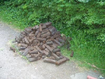 Peat turf, how all Irish homes were once heated, and some still are |
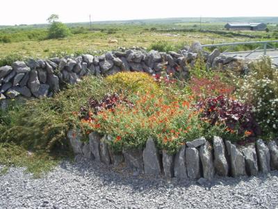
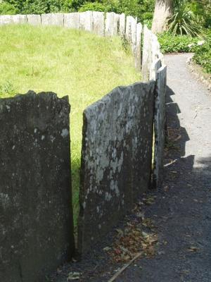 Bunratty Folk Park: not your typical stone wall. |
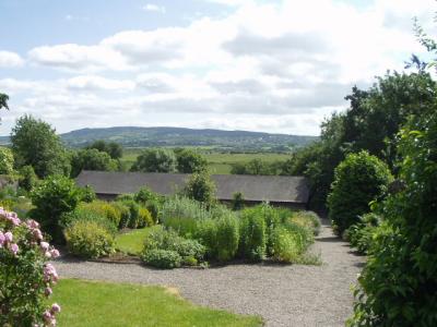 Bunratty Folk Park: walled garden |
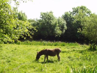 Irish fauna |
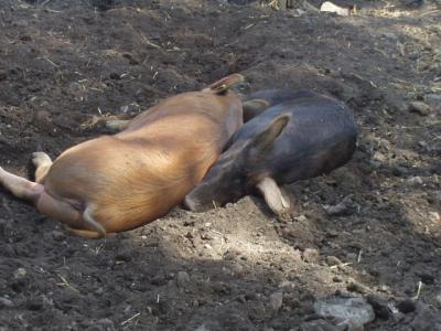 More Irish fauna |
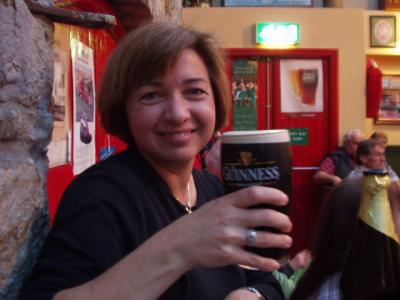
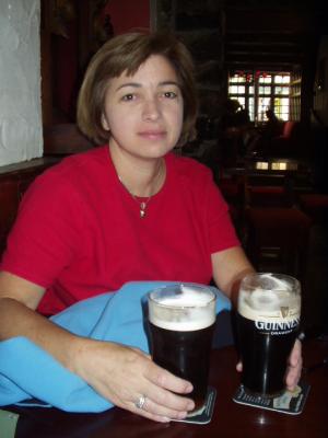 Galway: our first pints in Ireland, slightly jet-lagged |
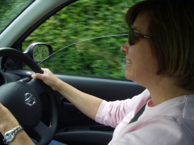
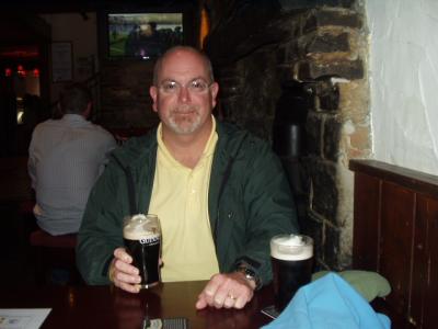 Galway: knuckles still white from my first stint driving on the wrong side of the road |
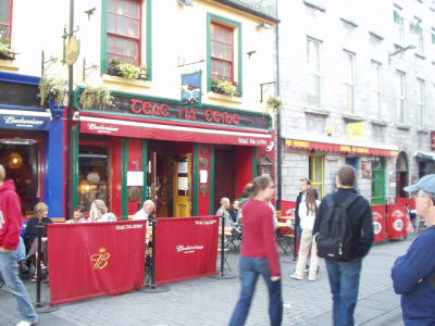
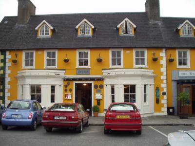
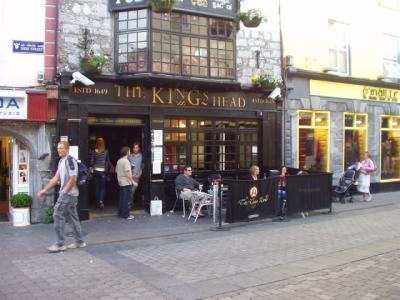 Our first pub, The King's Head, Galway |
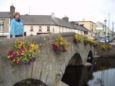
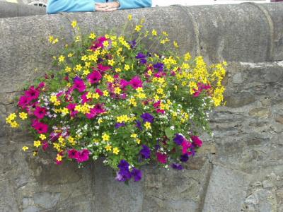
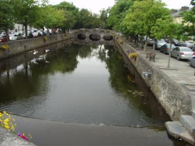
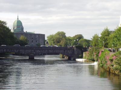 Wolfe Tones Bridge, Galway |
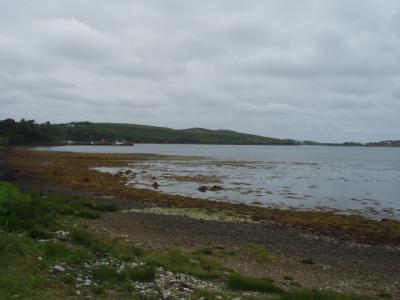
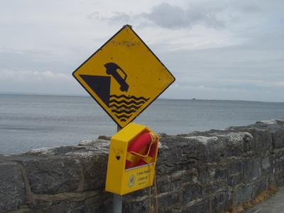
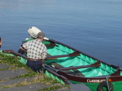 Galway Harbor |
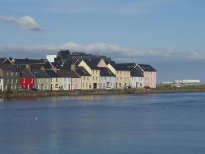 Galway Harbor |
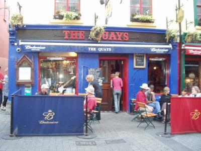 The oldest pub in Galway. Of course we had to assure the quality of their product and service! |
 Next door to The Quays. We sampled here, too. Note the advertisements for the best-selling lager beer in Ireland. |
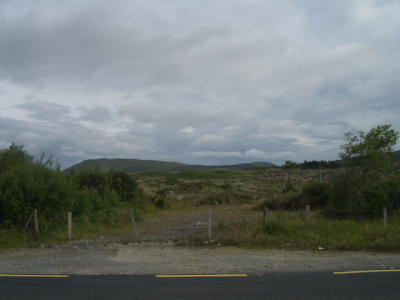
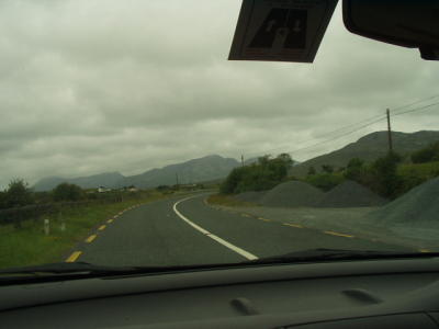
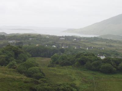
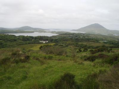
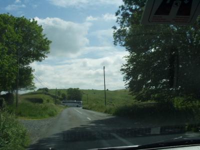
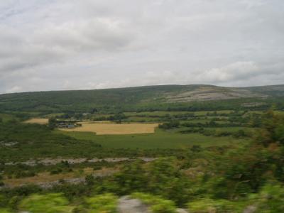
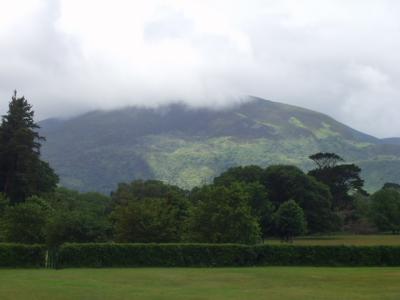
 On the road to Connemara, which reminded us of the western US in places |
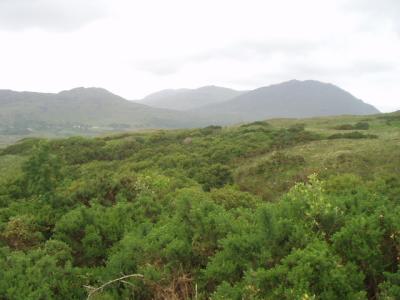
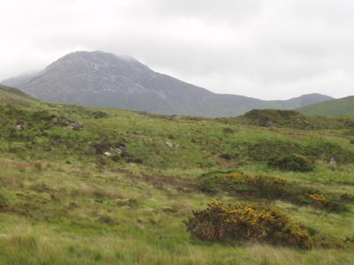
 Connemara |
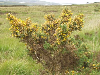
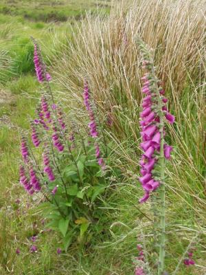
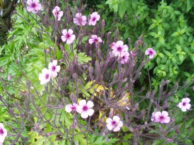
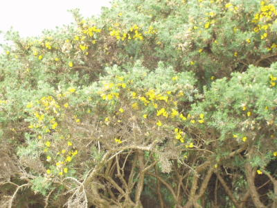 Irish flora. Lisa recognized most of the plants we saw, but I was clueless. |
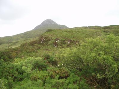
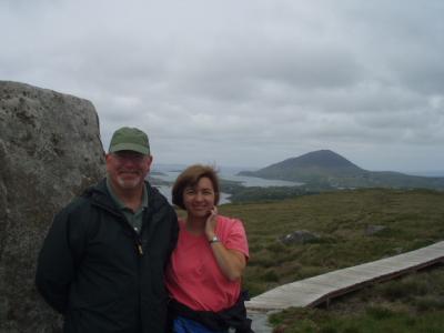
 Connemara, with several of The Twelve Bens in the distance. Note the little sticker on the windshield for us foreign drivers. |
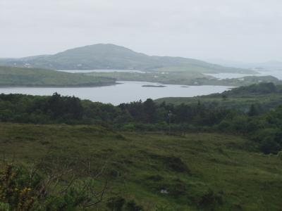
 Connemara |
 Connemara |
 Clifden |
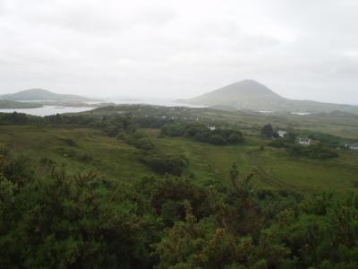
 Connemara |
 Connemara |
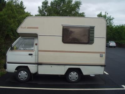 European RV |
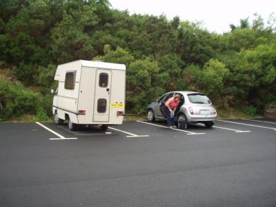 When's the last time you saw an RV that could park in a space for a compact car? |
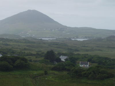
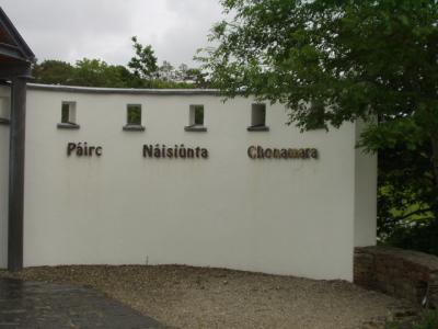 Gaelic for Connemara National Park |
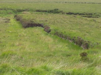
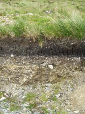
 Connemara's all about the peat bogs |
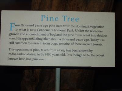
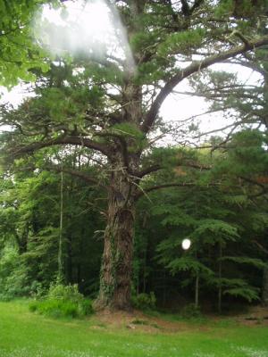
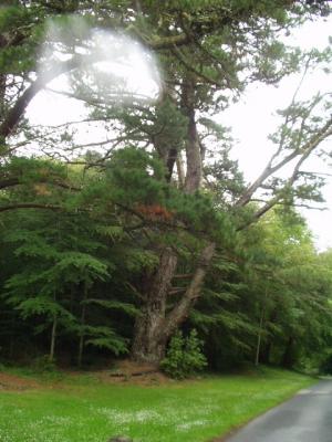
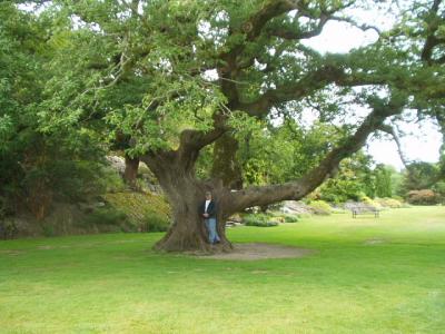
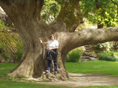
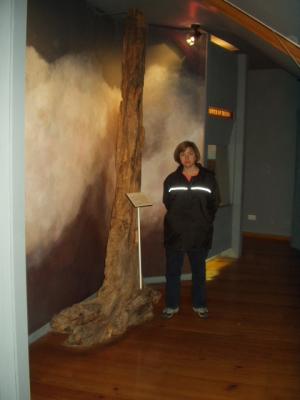 The oldest known bog pine, 8600 yrs old |
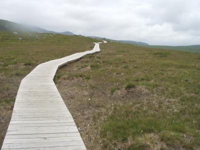
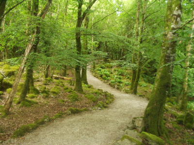
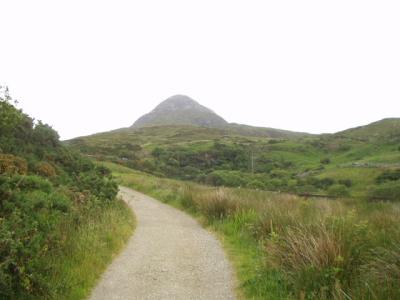 The hiking trail in Connemara Nat'l Park |
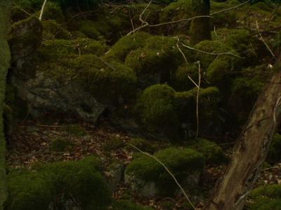
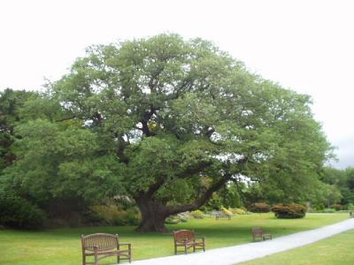
 Connemara National Park |
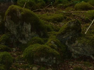
 Connemara National Park |
 Connemara National Park |
 Connemara National Park |
 Connemara National Park |
 Connemara National Park |
 Connemara National Park |
 Connemara National Park |
 Connemara National Park |
 Connemara National Park: the peat was harvested here 25 years ago |
 Connemara National Park |
 Connemara National Park |
 Connemara National Park |
 Connemara National Park |
 Connemara National Park |
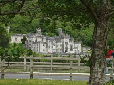
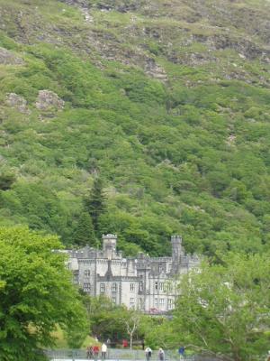
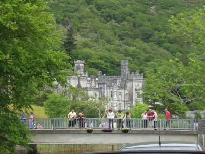 Kylemore Abbey, once a vacation home, then a monastic abbey, now a girls' boarding school |
 Price of admission was outrageous, so we just hung out in the parking lot, taking pictures |
 Kylemore Abbey |
 The perfect tool for carving Irish roads |
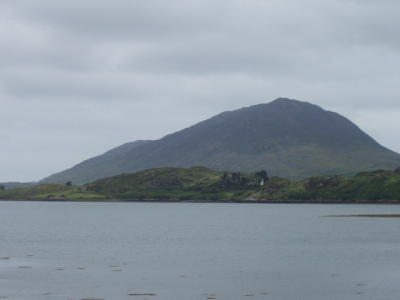
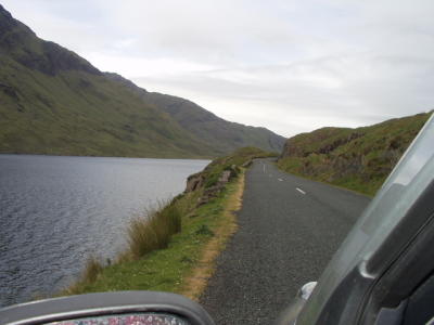
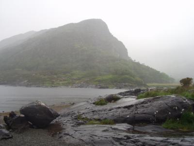
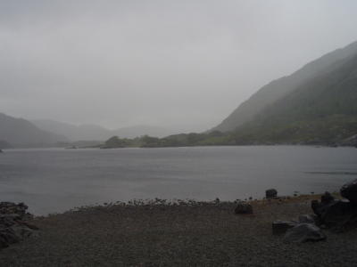
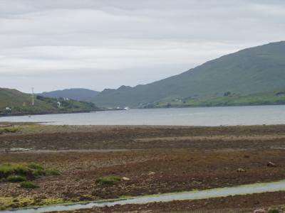 The only glacial fjord in Ireland, Leenane (tide's out, obviously) |
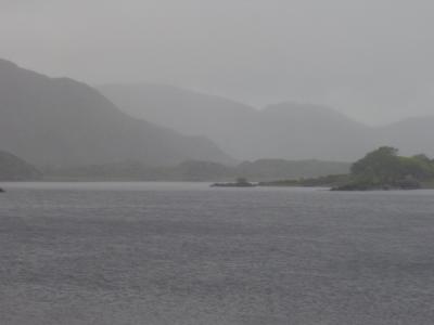
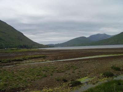 Leenane |
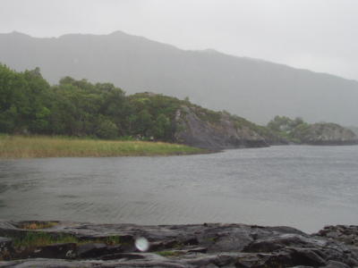
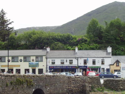 Leenane, officially the smallest village in Ireland |
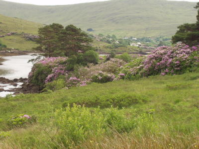
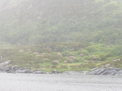
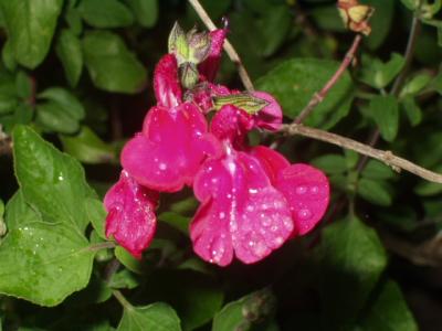
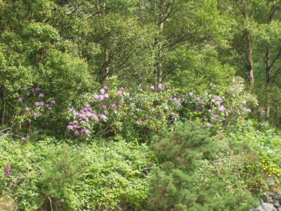 Leenane-area flora. Rhododendren were flowering EVERYWHERE in Ireland |
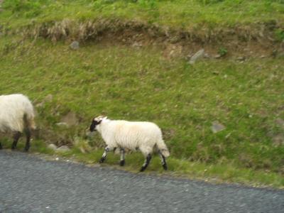
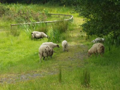 Sheep were, often grazing on the very edge of the roads. They don't get hit, so I guess that makes them smarter than deer. |
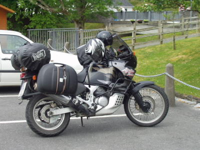
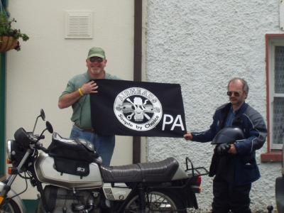 Mike from Carlisle, UK, on his '79 BMW R45 |
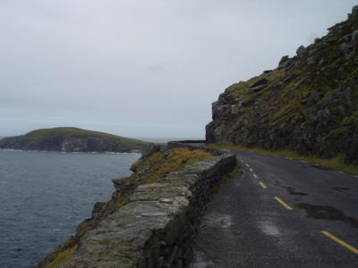
 The road from Leenane to Croagh Patrick. Not very wide. |
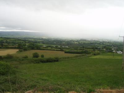
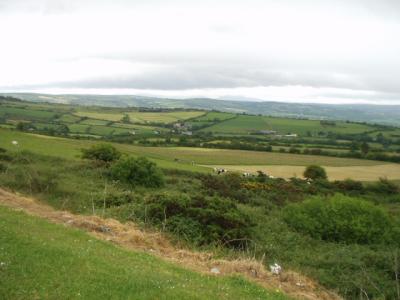
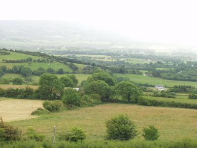
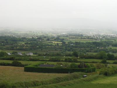
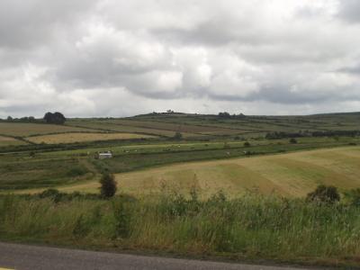
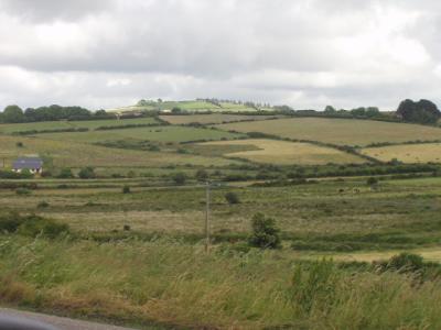
 Co. Galway, north of Connemara |
 Co. Galway, north of Connemara |
 Co. Galway, north of Connemara |
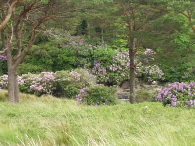 Co. Galway, north of Connemara. Rhodos in bloom everywhere! |
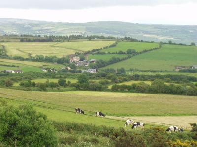
 Co. Galway, north of Connemara. Local fauna. |
 Co. Galway, north of Connemara |
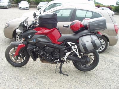 Always on the lookout for a sharp-looking BMW. This is in the carpark at Croagh Patrick. |
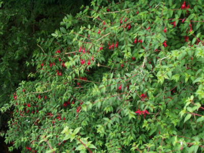 The fuschia grows in great hedges |
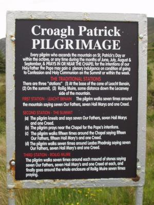 How the faithful do it. The really faithful do it in their bare feet! |
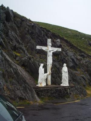
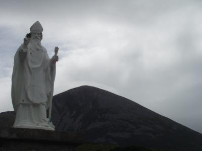 St Patrick in the foreground, the summit of Croagh Patrick in the background. Approx 6 mi to the summit. |
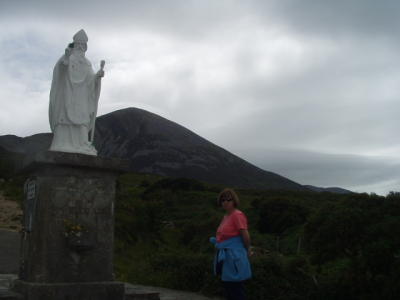 From this mountain, St Patrick is believed to have banished all the snakes from Ireland. |
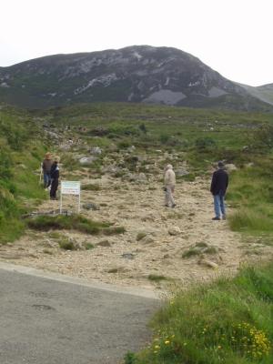 Croagh Patrick trailhead. This is the pilgrimage some do in their bare feet. |
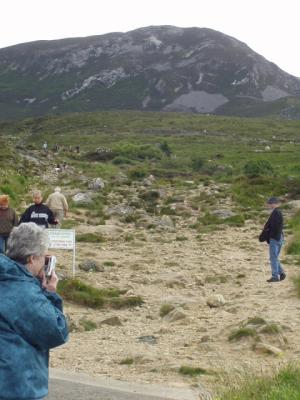 Croagh Patrick trail |
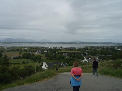 The view of Clew Bay from the base of Croagh Patrick |
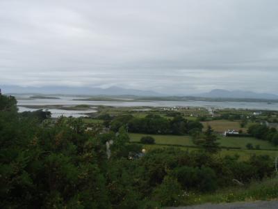 Clew Bay, the source of some mighty tasty seafood |
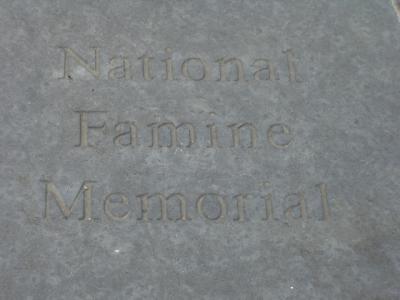 The memorial to the victims of the Potato Famine is just across the road from the trailhead to Croagh Patrick |
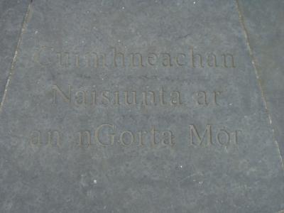 Here it is in Gaelic |
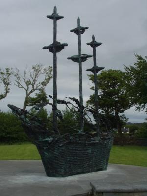 The memorial is a sculpture of one of the "coffin ships", in which millions fled the famine |
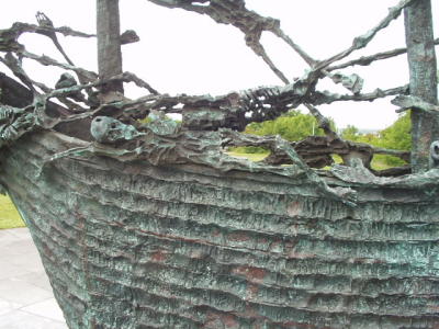 Famine Memorial |
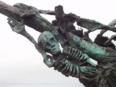 Famine Memorial |
 Westport, Co. Mayo |
 Westport, Co. Mayo |
 Westport, Co. Mayo |
 JW's bar, Westport, where we dined |
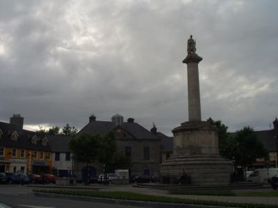 The ubiquitous St Patrick, here in the central square in Westport. |
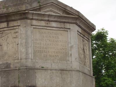 The personification of humility |
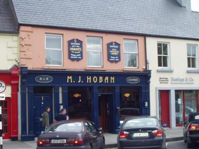 Hoban's in Westport usually has great traditional music, but there was none the night we stopped in. |
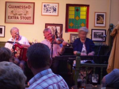
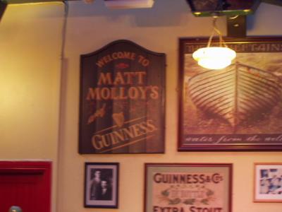
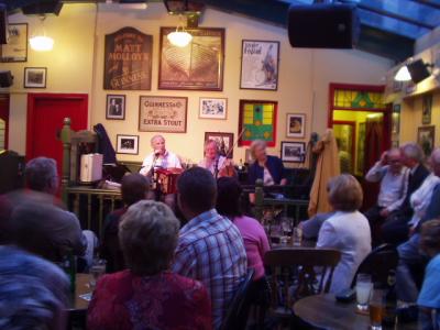
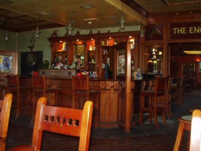
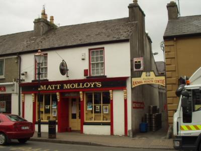 Matt Molloy is the flautist for The Chieftains, and owns the pub. |
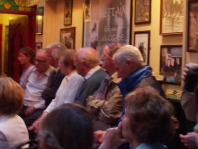 The local crowd in Matt Molloy's |
 Matt Molloy's Westport |
 Local talent |
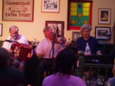 Matt Molloy's Westport |
 Matt Molloy's, Westport |
 Matt Molloy's, Westport |
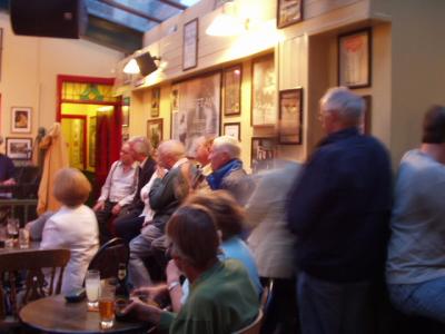
 Enjoying our pints |
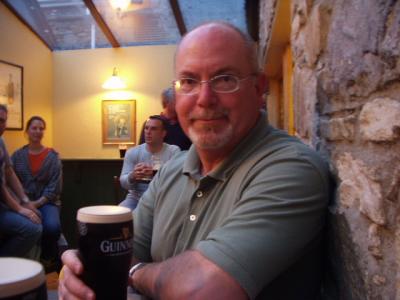 Enjoying our pints |
 Matt Molloy's Westport |
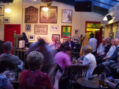
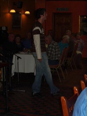
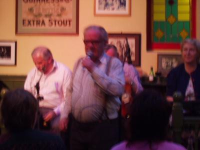 Even members of the audience can take the mike |
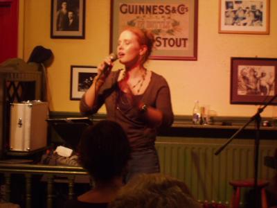 A stirring ballad, a cappella, by a member of the audience |
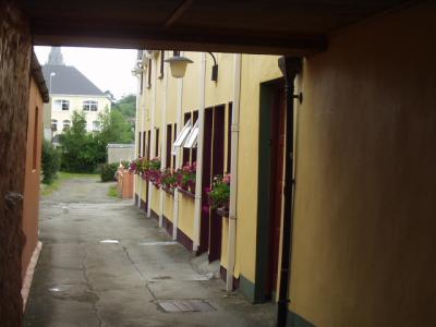
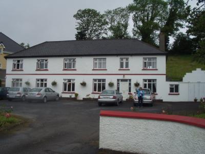
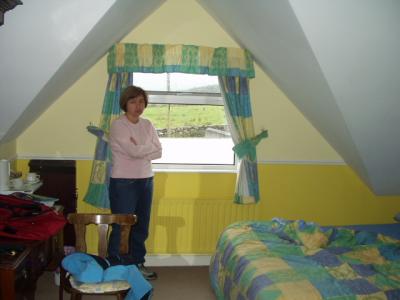 Our B&B in Westport |
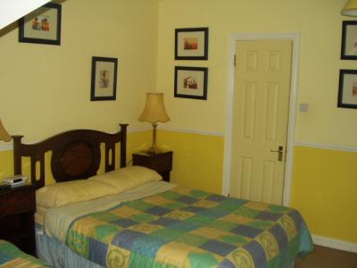 Our B&B in Westport, slightly nicer than most places we stayed. Our rooms were always "en suite", with bathroom |
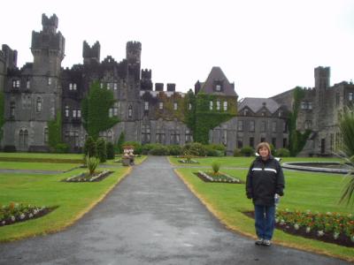
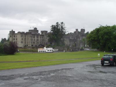 Ashford Castle, near Cong, Co. Mayo. |
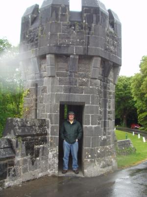 Ashford Castle gatehouse. That's "Irish sunshine" falling on us. |
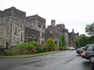 Ashford Castle was once one of the estates owned by the Guinness family. Now it's a hotel. A very nice hotel. |
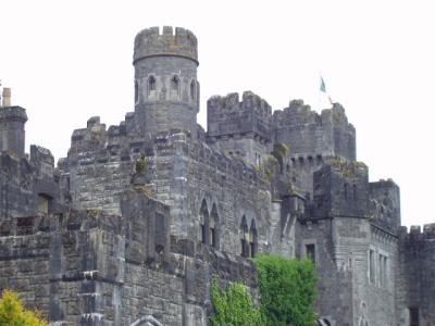 Ashford Castle |
 Ashford Castle |
 Not bad for a vacation home! |
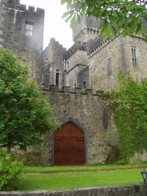
 The gardens and grounds of Ashford Castle |
 The gardens and grounds of Ashford Castle |
 If you've ever seen The Quiet Man, you'll recognize this cottage in Cong, Co. Mayo |
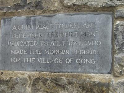 Plaque on The Quiet Man Cottage |
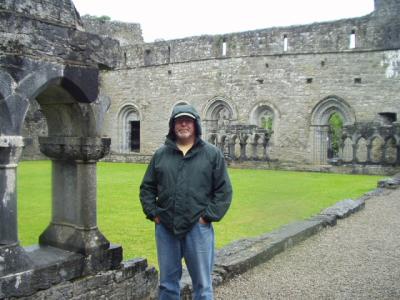
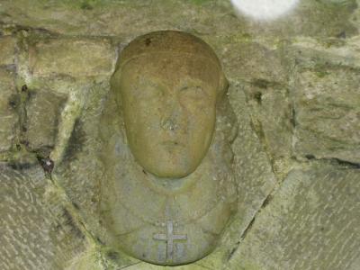
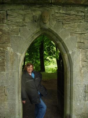
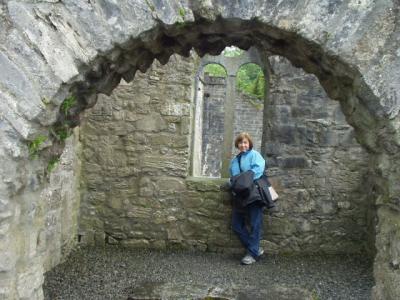 The Abbey ruins at Cong |
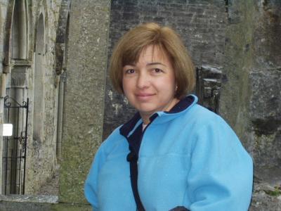 The Abbey ruins at Cong |
 The Abbey ruins at Cong |
 The Abbey ruins at Cong |
 The Abbey ruins at Cong |
 The Abbey ruins at Cong |
 The Abbey ruins at Cong |
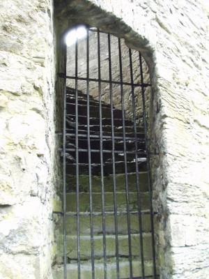
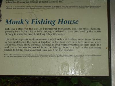
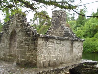 Monk's Fishing House, The Abbey ruins at Cong |
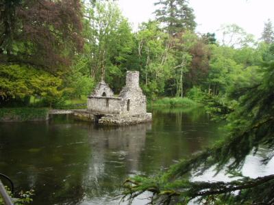 Monk's Fishing House |
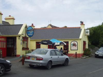
 A roadside pub in the middle of nowhere, south of Galway, where we stopped for lunch on the way to Quin |
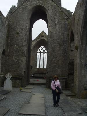
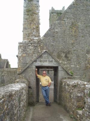
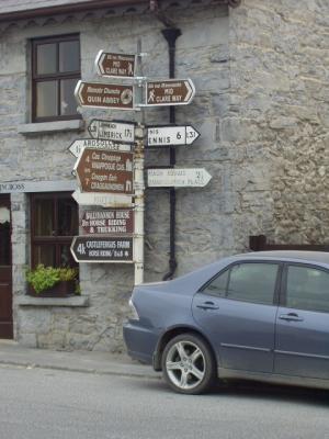
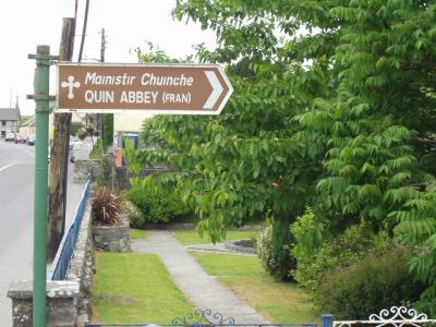 More Abbey ruins, these in Quin, near Ennis, Co. Clare |
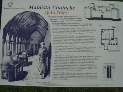 Evidently, it was quite a place in its day |
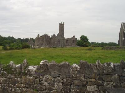 Abbey ruins in Quin |
 Quin Abbey |
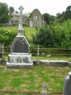 Quin Abbey |
 Quin Abbey |
 Quin Abbey |
 Quin Abbey |
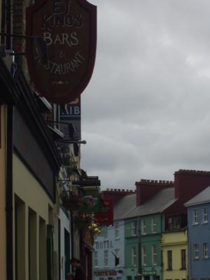
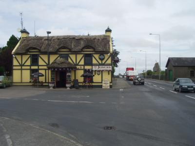
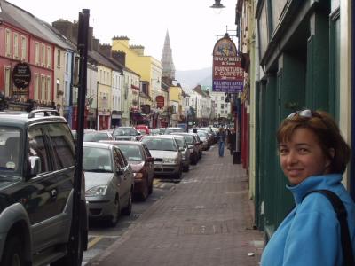
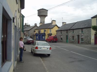 The main street, Quin, Co. Clare |
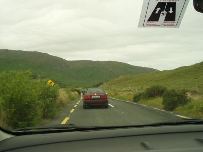
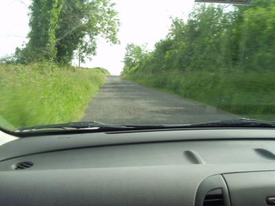
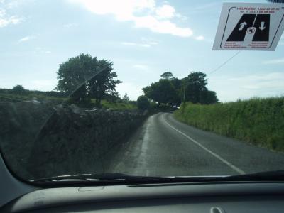
 This is why navigating is a full-time job on Irish roads |
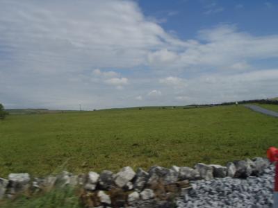
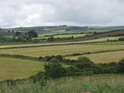
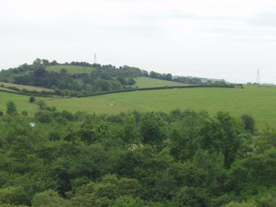 The countryside near Quin |
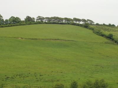 Countryside near Quin |
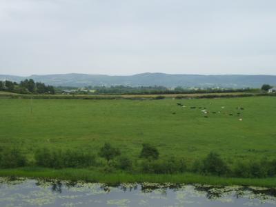 Countryside near Quin |
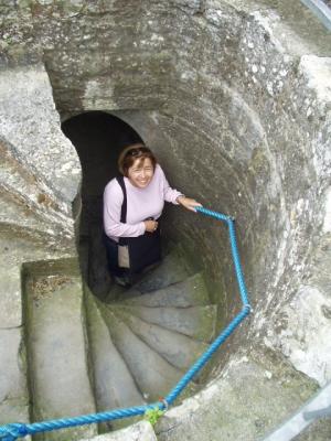
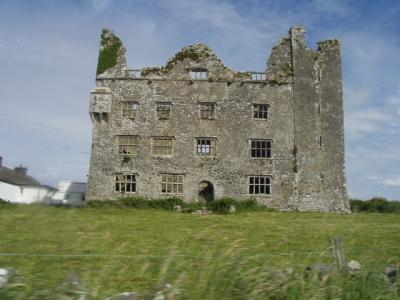
 Craggaunowen, a medieval tower house (fortified private home) near Quin |
 Craggaunowen, looking down from the parapet |
 On the grounds of Craggaunowen |
 On the grounds of Craggaunowen |
 On the grounds of Craggaunowen |
 Lisa's one brief turn behind the wheel |
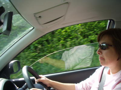 The very picture of concentration |
 I did most of the driving, not because Lisa was uncomfortable, but because I couldn't handle being a passenger! |
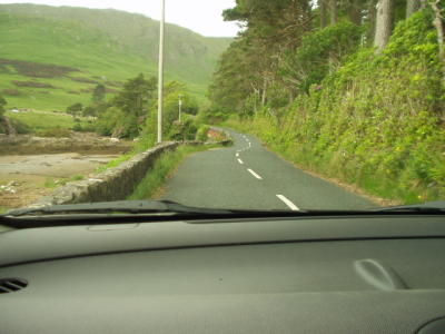
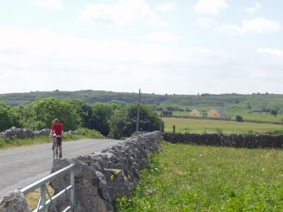
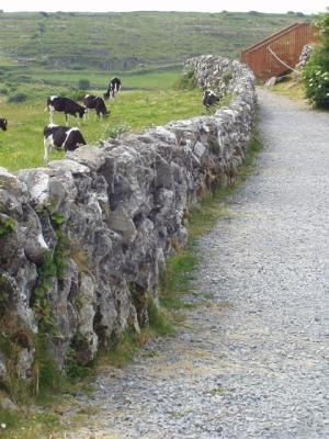
 If it's not a hedgerow, it's a stone wall whizzing past at your door handle |
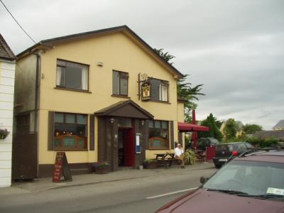
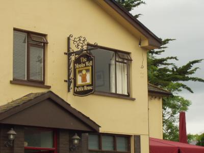
 Our favorite pub in Quin, the Monk's Well |
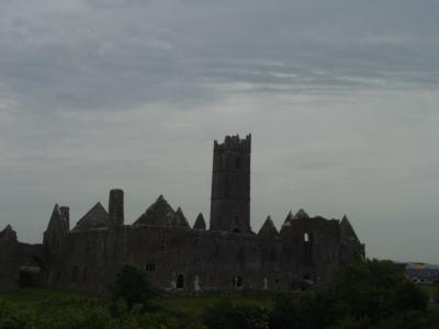
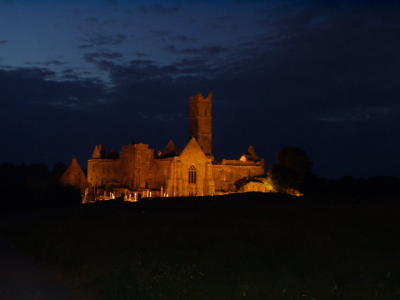 Quin Abbey by night, walking home from the pub. Note dusk still visible in western sky at 11:00 p.m. |
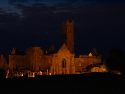 Quin Abbey by night |
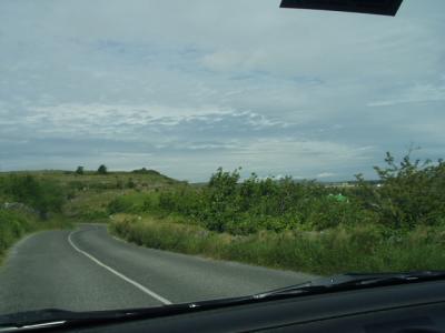
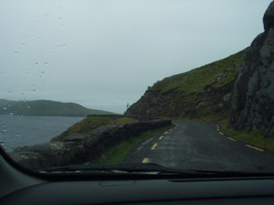
 On the way to the Burren |
 If we weren't dodging sheep or stone walls, it was motorcoaches |
 Ruins near Kilfenora, on the edge of the Burren, Co. Claire |
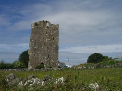 Ruins near Kilfenora |
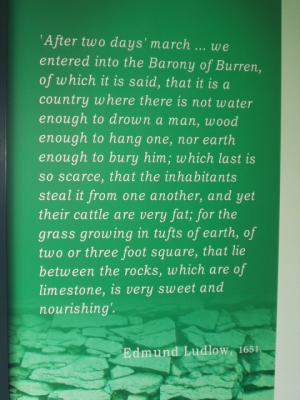
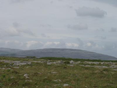
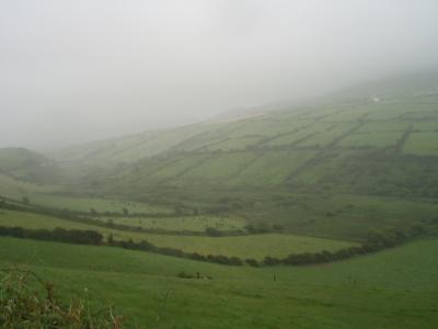
 Driving into the Burren, a limestone deposit covering hundreds of square miles in northwest Co. Clare |
 This about sums up the Burren |
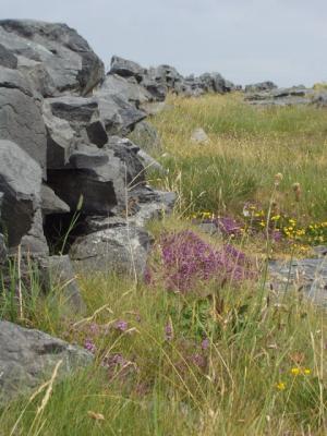
 Color among all the gray stone |
 Burren countryside |
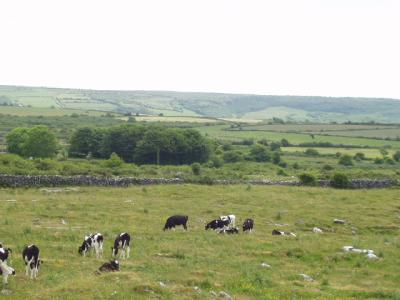
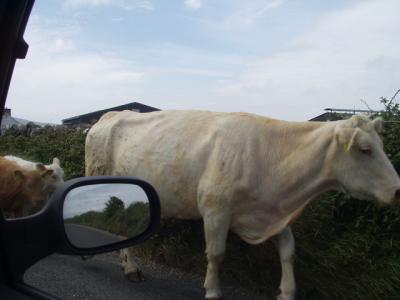
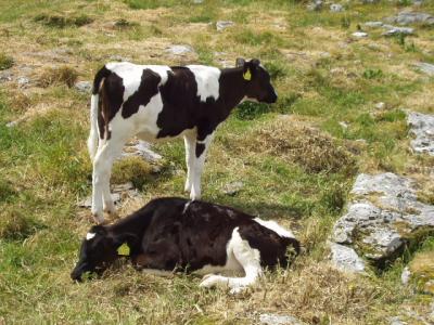 Veal on the hoof :-) |
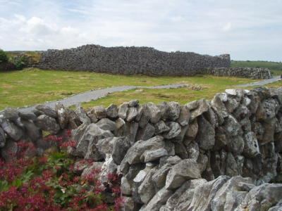
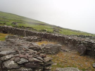
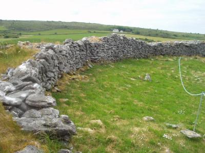 Remnants of the outer wall of some prehistoric stone fort with an unpronouncable name |
 Stone fort in the Burren |
 The Burren |
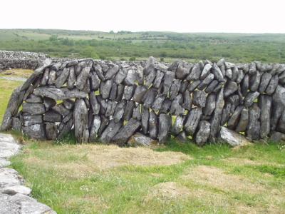 Unusual stone wall with the stones laid upright instead of flat. Why doesn't it tip over? |
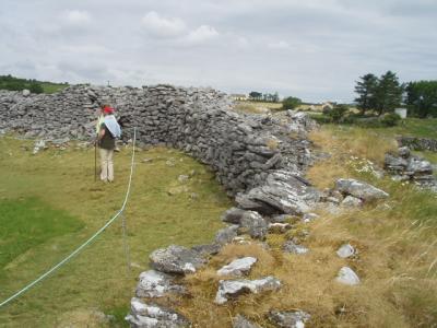
 Stone fort from the outside |
 One thing Ireland will never run out of...rocks! |
 Terraced hillside in the distance, shaped by glaciers |
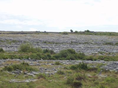 Rocks, rocks, and more rocks. The limestone deposits of the Burren are up to 2500 ft deep |
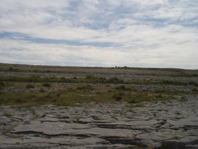 The limestone is so pourous it won't hold surface water, so there are no lakes or streams above ground |
 The Burren |
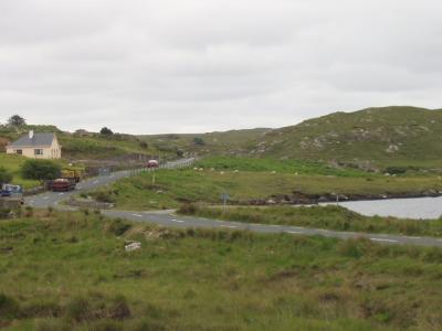
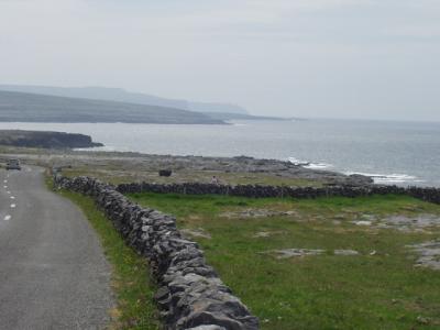
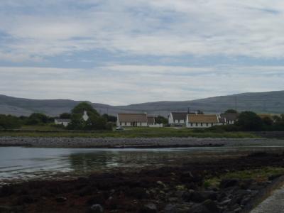 Ballyvaughan, on Galway Bay |
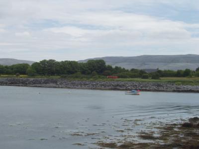 Ballyvaughan, on Galway Bay |
 Irish road sign humor: "Caution! Amphibious vehicles only beyond this point!" |
 Monk's, where we had lunch in Ballyvaughan |
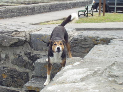 Local fauna challenging us to a game of chase |
 (Modern) thatched houses in Ballyvaughan |
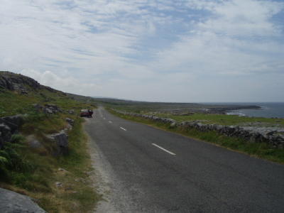
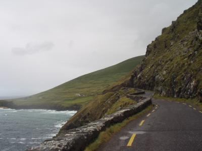
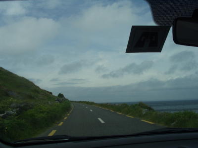 Coastal road from Ballyvaughan to Doolin, Co. Clare |
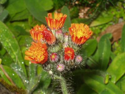
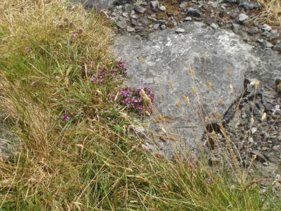 Roadside wildflowers |
 Roadside wildflowers |
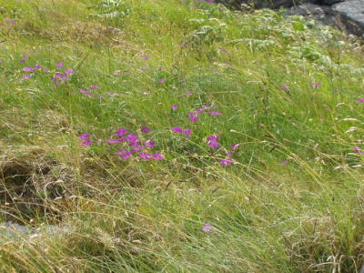 Roadside wildflowers |
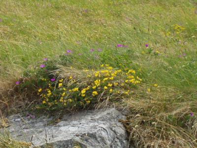 Roadside wildflowers |
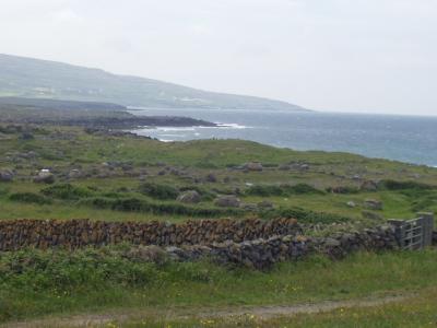
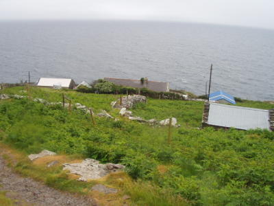
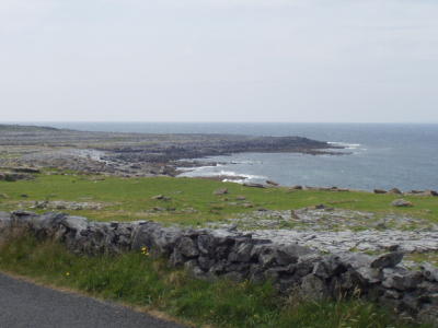 The coast near Doolin, Co. Clare |
 Coastal road, Co. Clare |
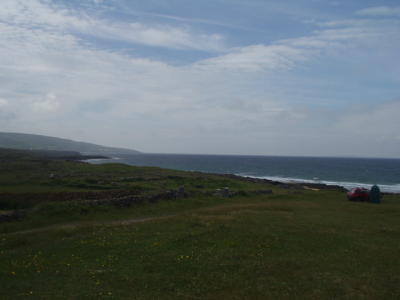
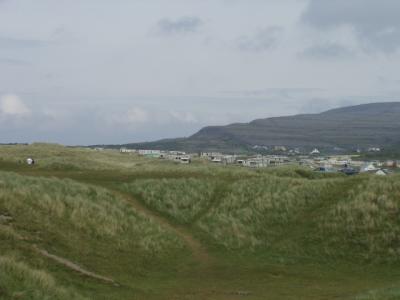 Trailer campers near the beach |
 On the coast near Doolin |
 On the coast near Doolin |
 On the coast near Doolin |
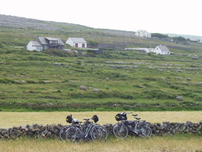
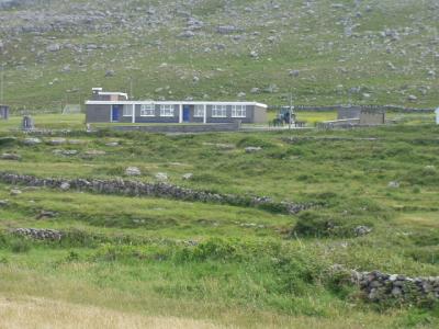 A typical school, overlooking the coast. I wonder if they need a school counselor...? |
 I'm guessing they don't get much outdoor recess from November to April. |
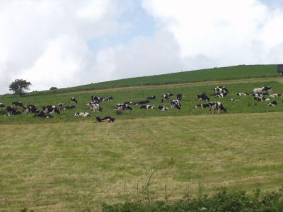
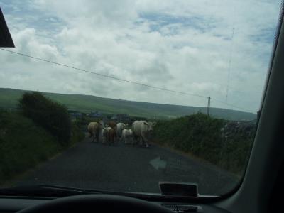 Cattle crossing the road bring us to a brief halt |
 Animal husbandry seems to be the predominant form of agriculture in Ireland. |
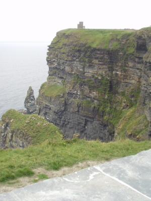
 The Cliffs of Moher in the distance |
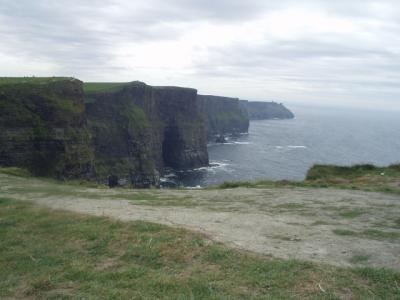 The Cliffs of Moher, 600 feet high |
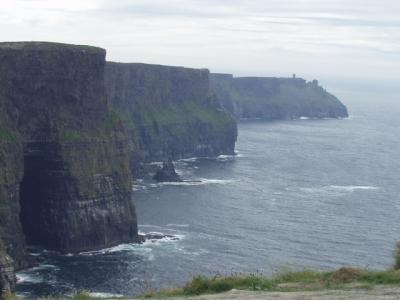 Cliffs of Moher |
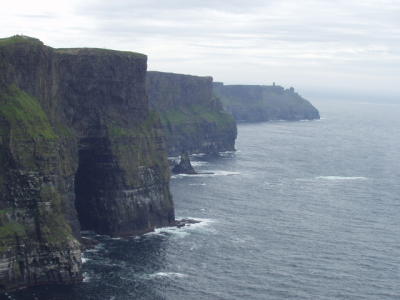 Cliffs of Moher |
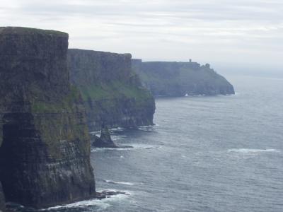 Cliffs of Moher |
 Cliffs of Moher |
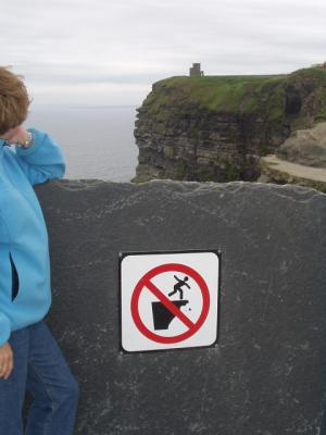 Do we really need a sign advising us that falling off the cliff is prohibited?! |
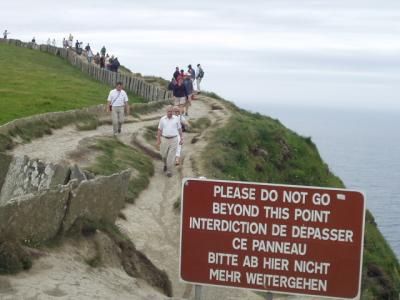 Apparently we do. |
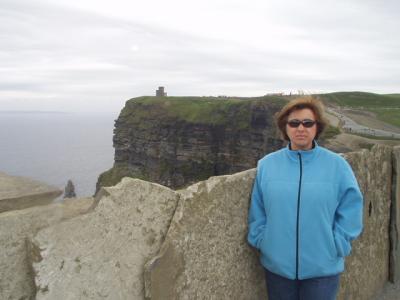 Cliffs of Moher. You can detect, from Lisa's expression, that the wind is blowing about 40 mph at the moment. |
 Back to Quin for a second night. This is the our favorite pub again, The Monk's Well |
 The bartender, Dermot, was from Killarney, our next stop, and he steered us to all the best things to see in the area. |
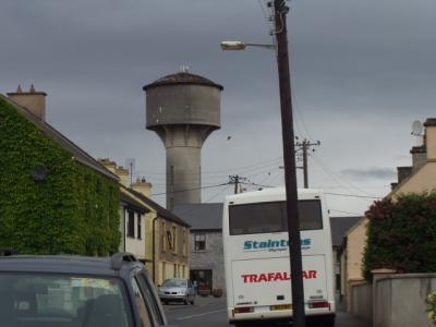 A water tower cleverly disguised as a medieval fortress tower |
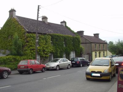 Ivy-covered houses in Quin |
 Music in the pubs often involves a bit of step-dancing too. |
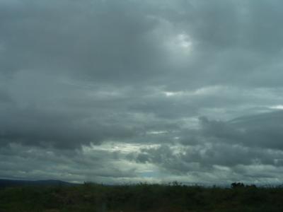 Clouds and rain for our drive to Dingle |
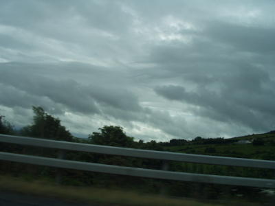 Clouds and rain for our drive to Dingle |
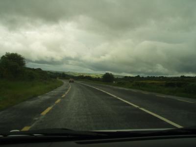 The N21 on the way to Dingle. It was the only time we hit 100 kph (62 mph) on the whole trip. |
 Ireland's not the place to be in a big rush. |
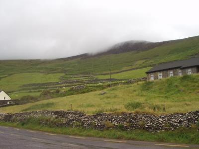
 Co. Kerry coutryside, on the way to Dingle |
 Co. Kerry coutryside, on the way to Dingle |
 Co. Kerry coutryside, on the way to Dingle |
 Co. Kerry coutryside, on the way to Dingle |
 Co. Kerry coutryside, on the way to Dingle |
 This weather is what the Irish call "a soft day." |
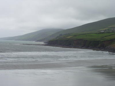
 The Dingle coast |
 Look! More stones! |
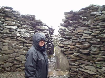
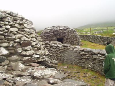 A "beehive house" on the Dingle peninsula. It's amazing places like this haven't fallen in in the last 1000 years. |
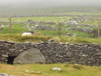 The beehive house and grounds |
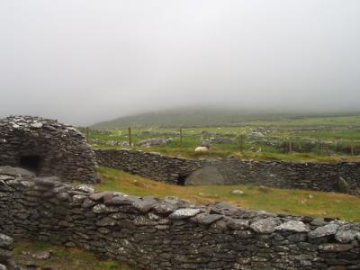 The beehive house and grounds |
 The beehive house and grounds |
 The view from the beehive house of Dingle Bay |
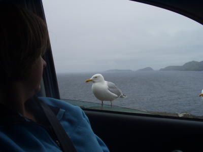
 Dingle-area fauna |
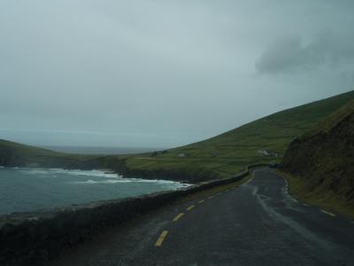
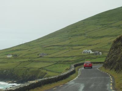
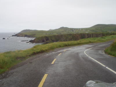
 Believe it or not, the loop around the Dingle peninsula is now a two-way road! Luckily, we didn't meet any tour buses. |
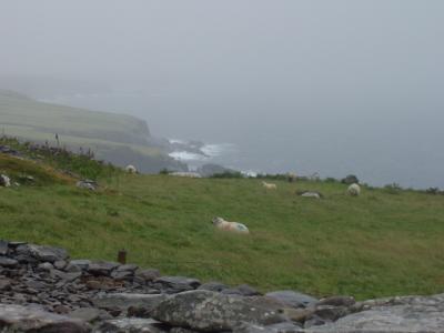
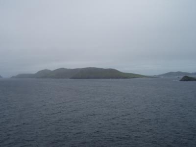
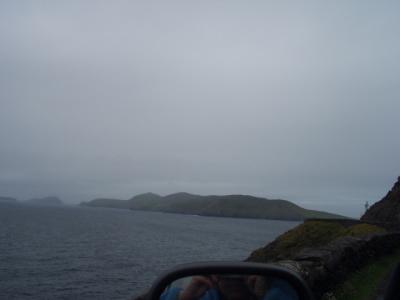 The Blasket Islands, western-most point in Europe, off Slea Head, Dingle |
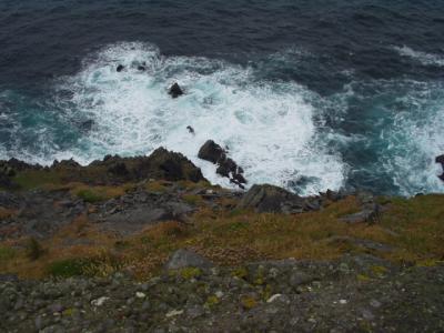 It's a long way down from the coastal road and not a very soft landing, but we tried not to think of that. |
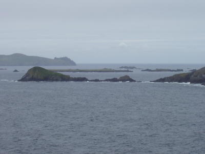 The Blasket Islands |
 As the Irish quip, the next parish to the west is Boston. :-) |
 Slea Head, Dingle peninsula |
 Dingle peninsula |
 Dingle peninsula |
 Dingle peninsula |
 Dingle peninsula |
 More Dingle-area fauna |
 Dingle peninsula |
 Dingle peninsula (Look! More stones!) |
 Dingle peninsula |
 Dingle peninsula |
 Dingle peninsula |
 Dingle peninsula |
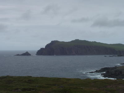 Sybil Point, Dingle peninsula |
 Dingle peninsula |
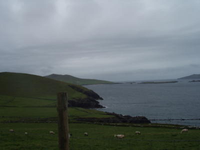
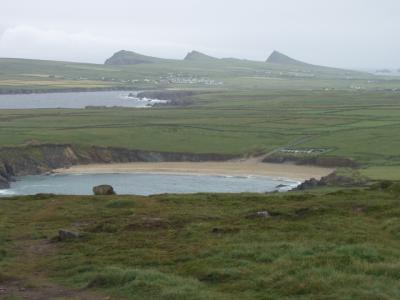
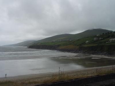
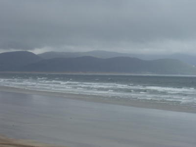
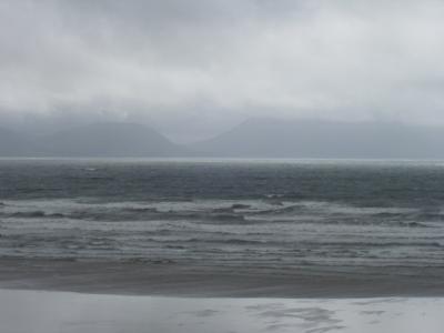 The beach at Inch, Dingle peninsula, looking across Dingle Bay at the Ring of Kerry |
 Inch Beach |
 Inch Beach |
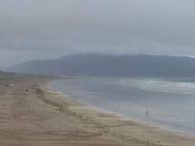 Inch Beach |
 Inch Beach |
 Killarney, Co. Kerry. Lisa finds her (maiden-)namesake. |
 Typical of the mews off High St in Killarney. Some residential, some commercial. |
 Gateway to the Ring of Kerry, Lisa correctly observed that Killarney has lost the battle with the plastic leprechaun. |
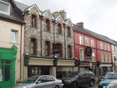 We saw this building style--stone with brick trim--several places and really liked it. |
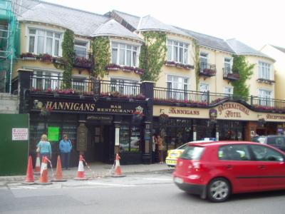 Hannigan's pub, Killarney. It must be time for a pint. |
 Audience participation is encouraged by pub musicians. Note: holding a pint doesn't always improve one's singing. |
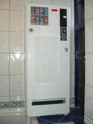 You're probably wondering why I photographed a condom dispenser in the gents'... |
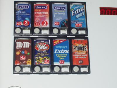 If you can only have one vending machine in a restroom, it should have it all...candy...gum...mints...condoms...no soft drinks? |
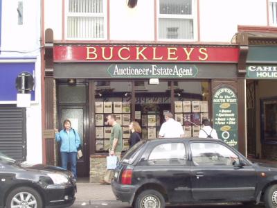
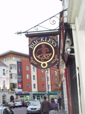 More Buckley's in Killarney |
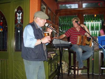
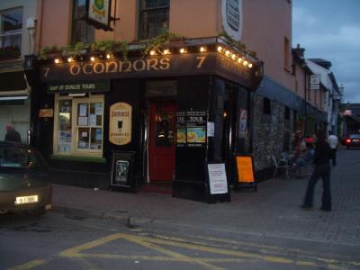 O'Connors, Killarney, where we caught a traditional music session (impromptu) going in the back of the pub. |
 Our B&B in Killarney, a short walk from the town center down Muckross Rd |
 One of the neighbors leaning over the fence |
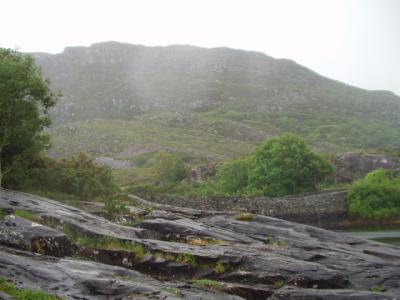
 Purple Mtn overlooking Lough (Lake) Leane, Killarney National Park |
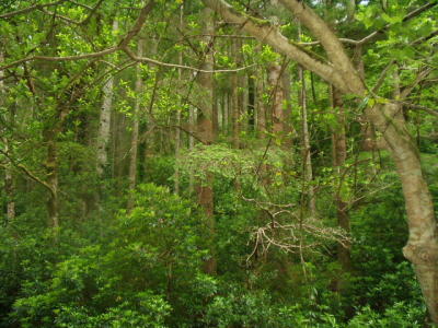
 Killarney National Park, the largest NP in Ireland |
 Killarney National Park, Macgillycuddy's Reeks (mtns) in the distance |
 Killarney National Park |
 Killarney National Park |
 Killarney National Park. Those are sheets of rains blowing past. |
 Killarney National Park |
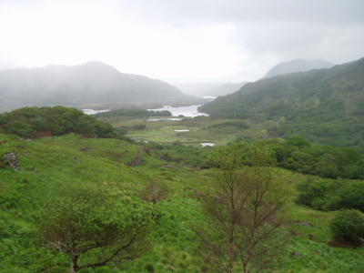
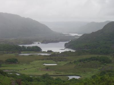 Ladies' View, Killarney National Park |
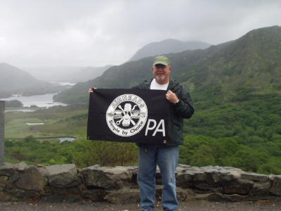 Searching in vain for old BMWs, David decides haul out the Airheads flag for a pic anyway |
 Killarney National Park |
 Killarney National Park |
 Killarney National Park |
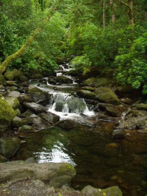
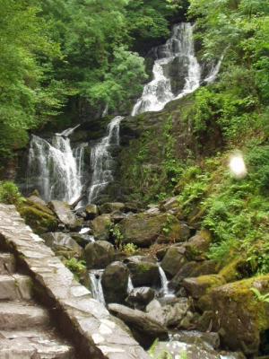 Torc Falls, Killarney National Park |
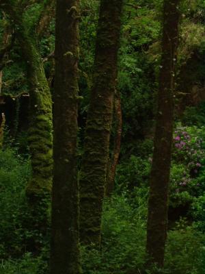
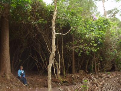 A rhododendren forest the size of a warehouse |
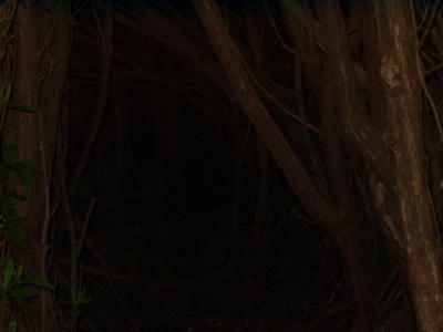 The foliage was so dense it was pitch dark beneath. |
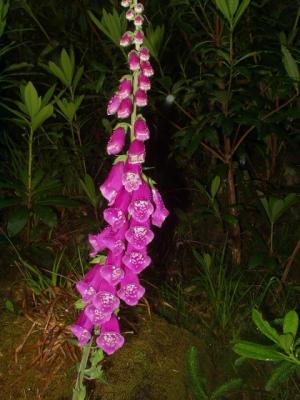 Local flora |
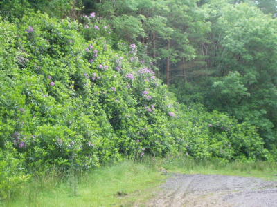 Another massive rhodo hedge, two stories tall |
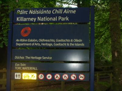 Signs are mostly bilingual. The government subsidizes the preservation of Gaelic culture and language. |
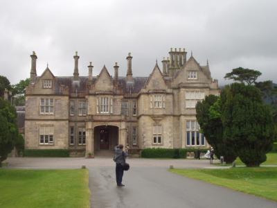 On the grounds of Muckross House, a 19th Century manor home near Killarney. Built in 1843, it has 91 rooms. |
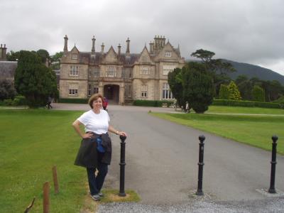 Queen Victoria visited, staying two nights. The owner spent 6 years preparing for her visit, and later went bankrupt. |
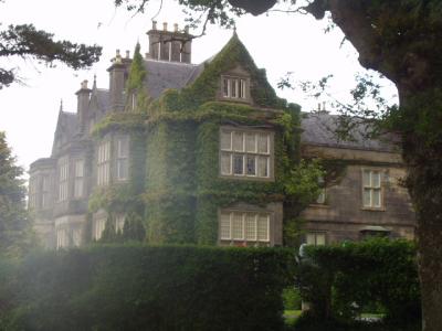 Muckross House |
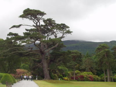 Muckross House gardens |
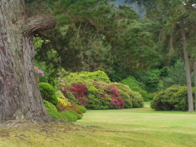 Muckross House gardens |
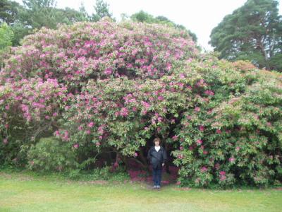 Muckross House gardens |
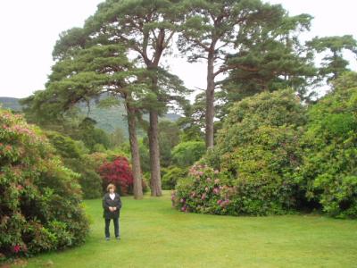 Muckross House gardens |
 Muckross House gardens |
 Muckross House gardens |
 Muckross House gardens |
 Muckross House gardens |
 Muckross House gardens |
 Muckross House gardens |
 Muckross House gardens |
 Co. Kerry countryside, this time in the sunshine. |
 Co. Kerry countryside |
 Co. Kerry countryside |
 Co. Kerry countryside |
 Co. Kerry countryside |
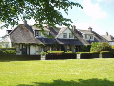 multi-plex cottages in Adare, Co. Limerick |
 Cute cottages in Adare |
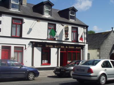 Sean Collins' pub, Adare |
 Katie would have insisted we eat here, if she had been along. |
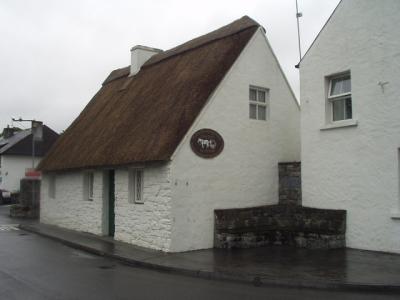
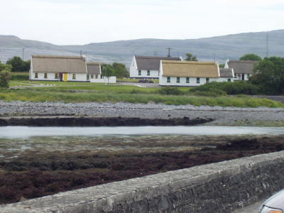
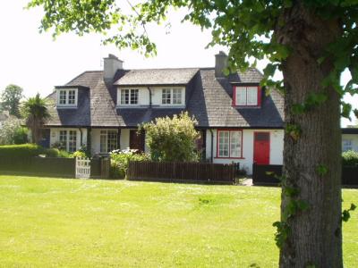
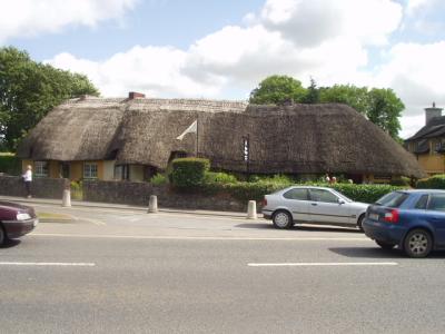 The famous thatched cottages of Adare. |
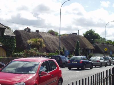 Thatched cottages in Adare |
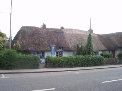 Thatched cottages in Adare |
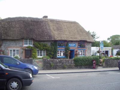 Thatched cottages in Adare |
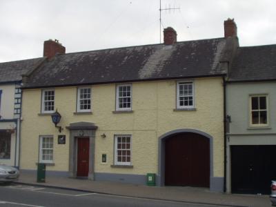 The Garda (police) station, Adare |
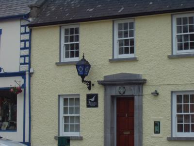 All Garda stations are identified by this lamp; otherwise, they pretty much blend into the rest of the town. |
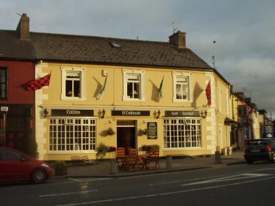 Another Collins' pub in Adare, where we had a late dinner. It's about 9:30 p.m. in this picture |
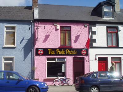
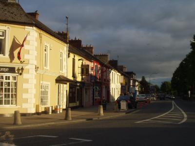 The main street in Adare |
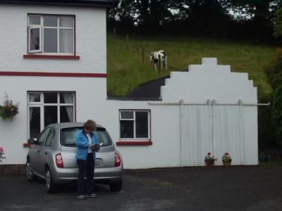
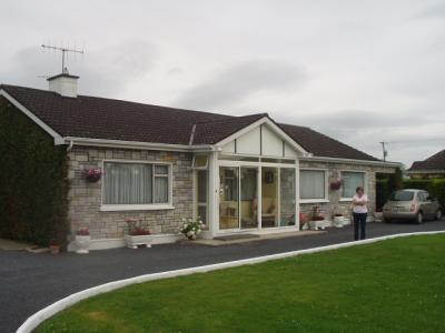 Our B&B outside Adare, the morning we departed. So long, Ireland! We had a GREAT time! |
| comment | share |
| peter mohan | 06-Jan-2008 19:28 | |
| Kevin Mohan | 20-Nov-2007 17:46 | |
| Guest | 16-Mar-2007 17:10 | |
| Guest | 28-Jun-2006 17:00 | |
| Guest | 28-Jun-2006 12:53 | |
| Carol | 27-Jun-2006 13:55 | |