


|
|
|
|
|
|
| Don | profile | all galleries >> #more of north Queensland# >> # Walsh River # | tree view | thumbnails | slideshow |
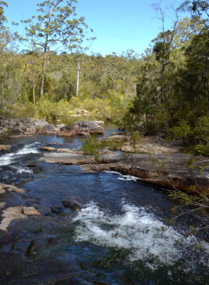
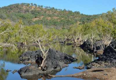
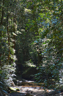 Walsh River headwaters |
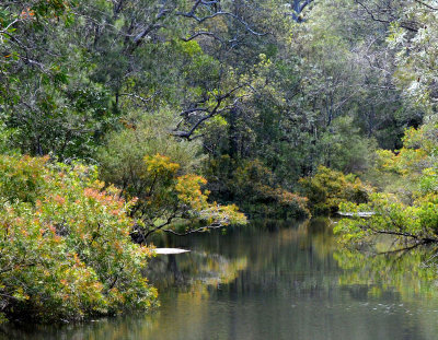 Walsh River |
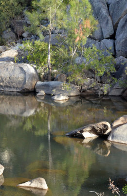
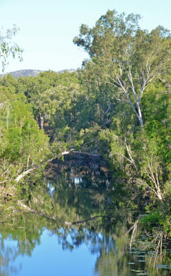
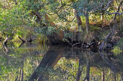 Walsh River reflections |
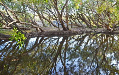
* Walsh River reflections * |
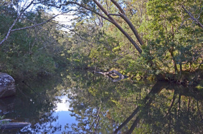
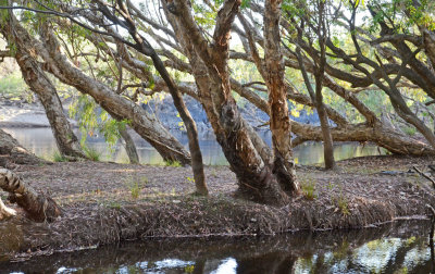
 Walsh River |
 Walsh River |
 Walsh River |
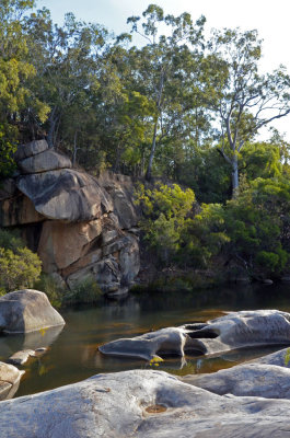
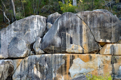 granite boulders |
 Walsh River |
 Walsh River @ highway crossing |
 Walsh River |
 Mitchell River anabranch |
 Mitchell River |
 Mitchell River |
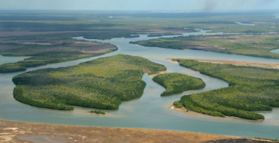 Mitchell River delta |
| comment |