


|
|
|
|
|
|
| Don | profile | all galleries >> # more Australian landscapes # >> # south-east Queensland # >> # Fraser Island # | tree view | thumbnails | slideshow |
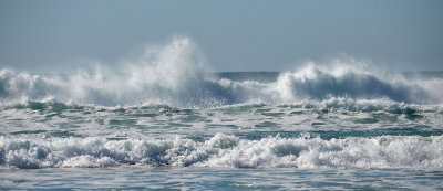 Fraser Island surf |
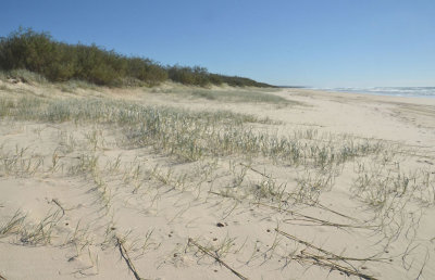 endless beach |
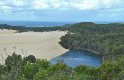 Lake Wabby |
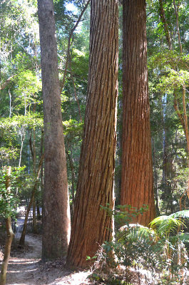 Satinay (Syncarpia hillii) |
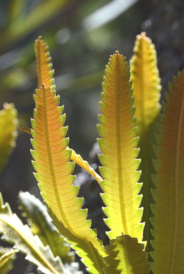 Banksia leaves |
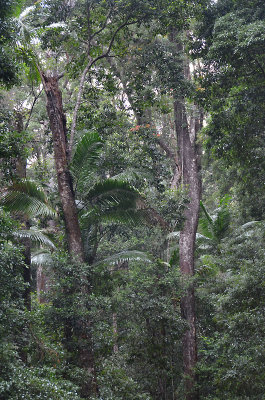
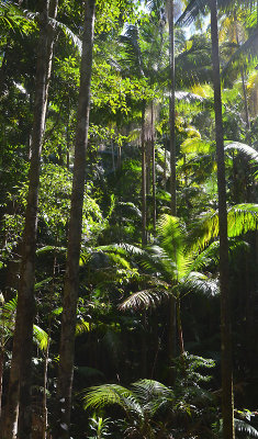 Fraser Island forest |
Fraser Island surf |
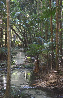 Wanggoolba Creek |
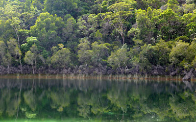 Basin Lake |
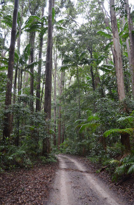 Fraser Island highway (Yidney Scrub) |
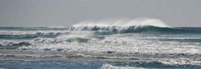 Fraser Island surf |
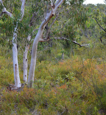 dry wallum |
 Fraser Island highway (Yidney Scrub) |
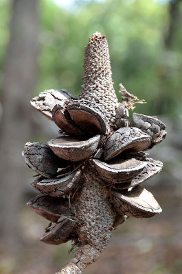 Banksia cone |
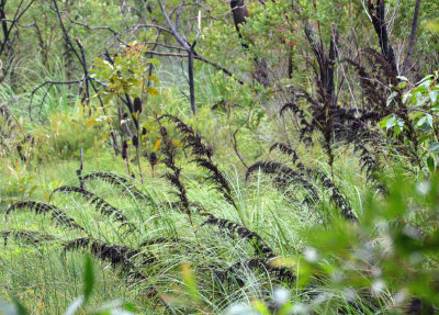 wet wallum |
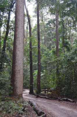
 Yidney Scrub |
endless beach |
| comment |
| Paolo Peggi (aka Bracciodiferro) | 13-Aug-2015 11:10 | |