31-JUL-2007
8:20 am
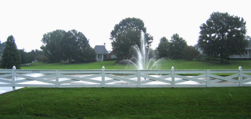
My parents live off of Highland Road. Usually, I take a left out of their place, and within a mile or so, I'm at I-10. Due to the weather and morning rush hour traffic, there was a bad accident on I-10 headed east, but Mom said the onlooker delays were pretty bad. So, she gave me directions for the back route to the bridge which involved taking Highland Road. Normally, this is a really pretty drive with large houses, estates, and oak trees. It's just not as pretty in the rain.
31-JUL-2007
8:40 am
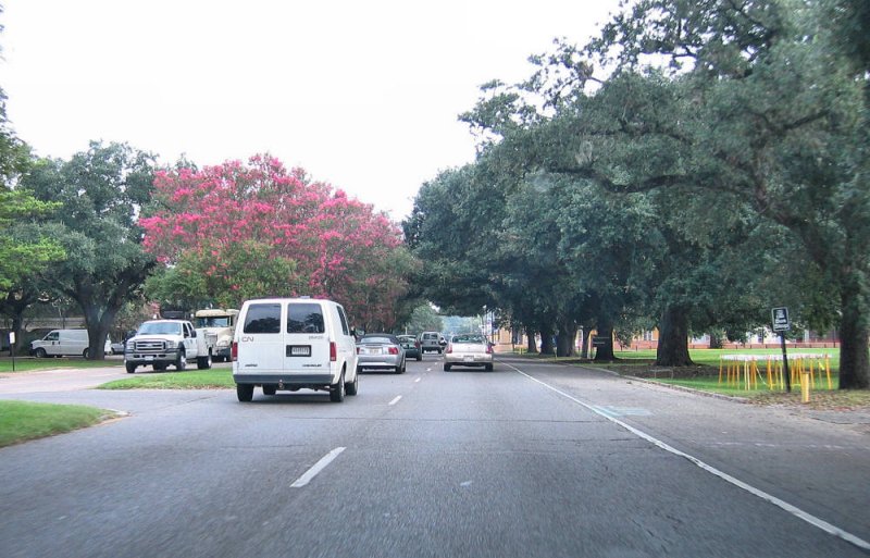
The altered route took me right by the LSU campus. Actually, this might be a road going through LSU. Pretty little drive through. Would have been prettier if it was sunny.
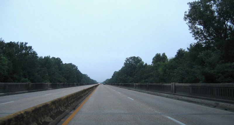
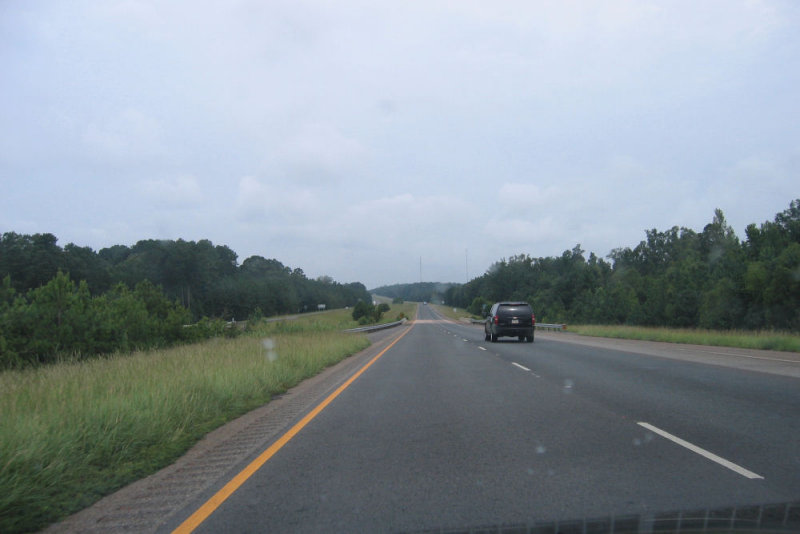
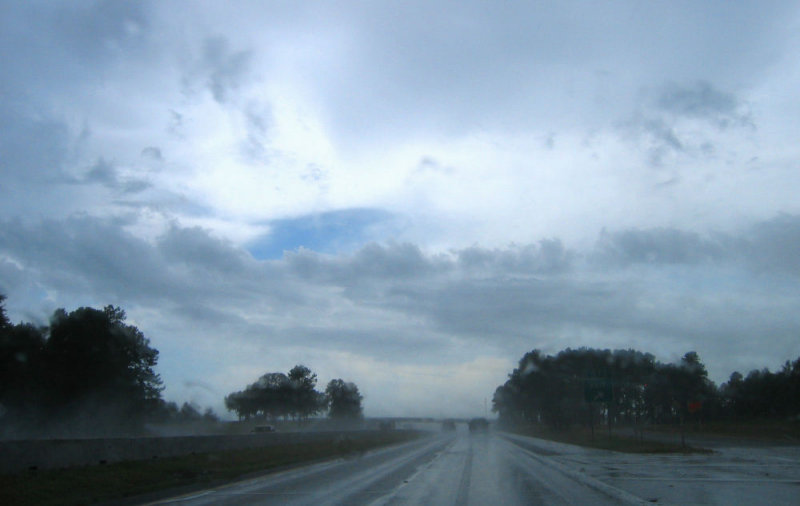
31-JUL-2007
8:44 am
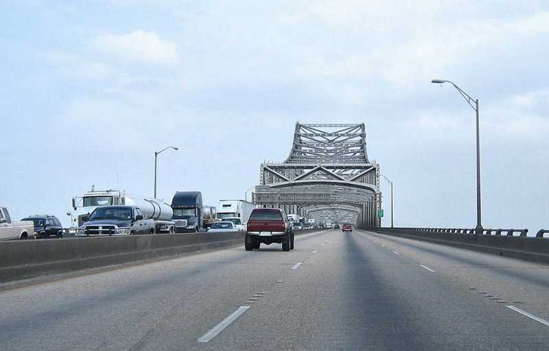
This is the big bridge in Baton Rouge. It reminds me of a smaller version of the GNO (now the CCC) in New Orleans. See the traffic on the other side? That's the back up from the accident. It went all the way to where I took the cut-off to 190. Mom said the traffic the other way was backed up to Highland Rd. I made a good choice. This picture was a little difficult though because I'm not used to getting onto I-10 at Nicholson. That's a nasty little merge at 50mph while juggling a camera.
31-JUL-2007
9:04 am
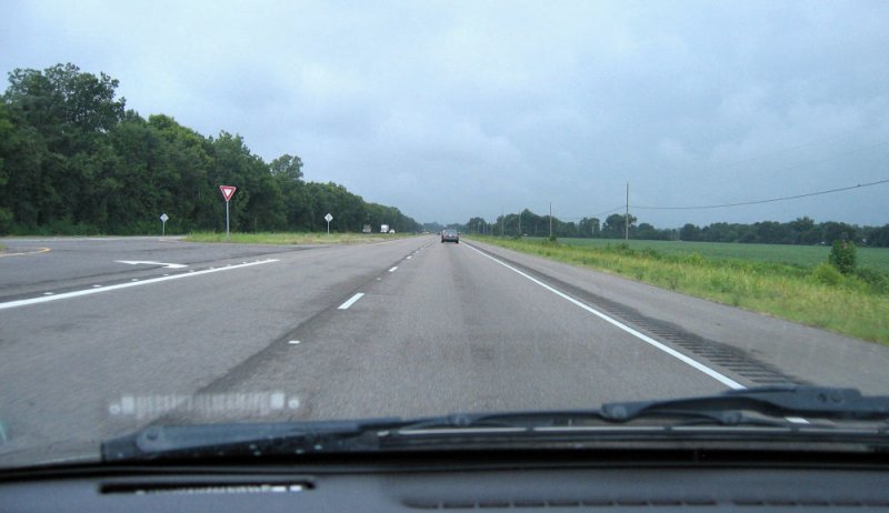
I have no idea where this is. Somewhere on 190 between Baton Rouge and the Morganza Spillway. Desolate drive, but it beats I-10 which is nothing but the bridge over the bayou all the way to Lafayette. I don't know if this really saves you much time over the Interstate. Maybe 15 minutes.
31-JUL-2007
9:25 am
This is the Morganza Spillway. It is known helping to control flooding on the lower Mississippi River. Yeah, right, you didn't know that. At this point of the drive, I finally reached my mother via cell phone. She wanted me to call her after I gassed up in Lobdell and let her know that I had made it through the traffic. She was on her way to New Orleans, and I think the rain was making the connection difficult. This is also the 55mph section of the drive. So very slow, but the cops like to come up and get you on these little spillways, so there's not much speeding going on.
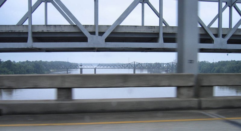
31-JUL-2007
9:28 am
Okay, this picture is close in time to the last one, but I had to get a shot crossing the Atchafalaya River. It's pronounced just like it sounds. I thought getting the railway bridge though the beams looked pretty cool.
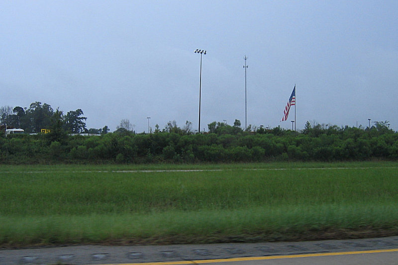
31-JUL-2007
9:43 am
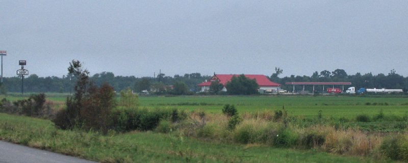
Some little town between the Atchafalaya River and Opelousas.
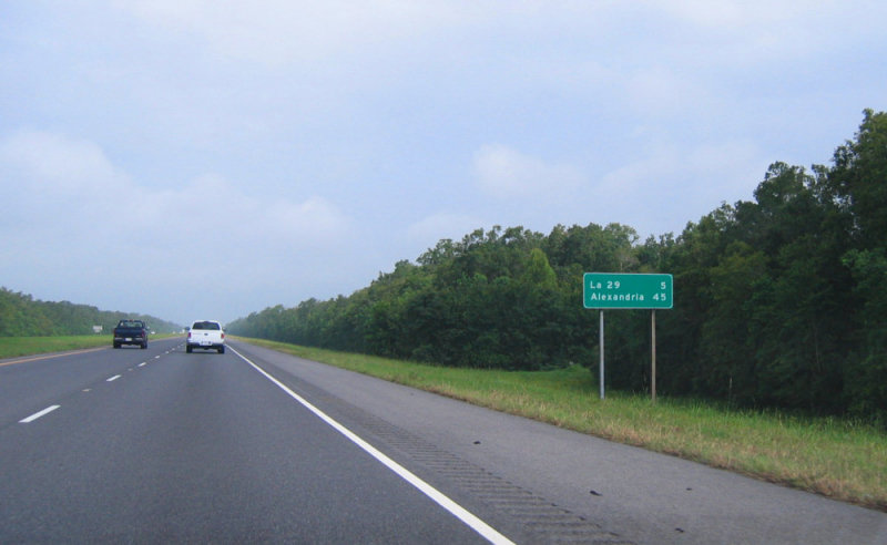
31-JUL-2007
10:00 am
This is the worst part of the stretch. I-49 must be one of the least traveled interstates in the US. Before it was completed through Alexandria, I could make this drive and be the only car in sight for miles. Thus, after Hurricane Katrina hit the Gulf Coast though, when I made this drive, it was so very odd to see so much traffic especially so many trailers, trucks, and army convoys. After just a few minutes on this road though, these little road mile signs become like manna from heaven. Each one showing you that you're a little closer to the next milestone. On this drive, the milestones for me are Opelousas, Alexandria, Nachitoches, Shreveport, and Tyler.
31-JUL-2007
10:03 am
This is another one that is close to the last picture, but I had to get a shot of the Casino in the middle of nowhere. These little slot machine casinos litter the landscaping of Louisiana. They popped up pretty quick after it became legal. I tried to get a better shot as I drove by, but at this point, I was traveling over 70 mph, it was starting to drizzle, and I couldn't get the window rolled down and the camera set. I thought I took a picture, but when I got home, it ended up being of my passenger seat.
31-JUL-2007
10:06 am
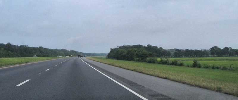
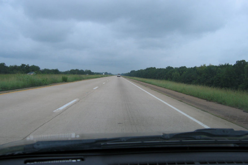
You may notice that these pictures are coming really close together now. That's because this is for the most part what I-49 looks like. This is the part where you start to drift off when you're driving, and you beg for anything at all to try and keep you awake. So, I took pictures.
31-JUL-2007
10:09 am
Yep. I'm telling you. This part is really, really, boring. Although, I think it was around here traveling to Baton Rouge for Christmas late one night that we found ourselves behind this car filled with girls who stuck themselves out of the window and flashed their boobies at a trucker. Scott was kind enough to turn on his brights and spotlight them from behind while they were doing this. I'm telling you. Everyone gets desperate for entertainment on this stretch of road.
31-JUL-2007
10:15 am
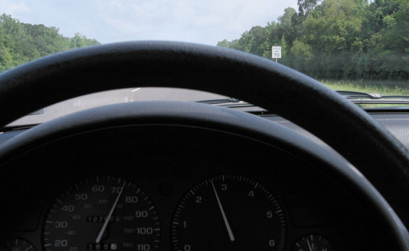
At this point, I was desperately trying to stay awake. So, I got the grand idea of trying to get a picture showing my speed and the speed limit sign. I thought I'd attempt some sort of artsy picture. This is as good as it got, but I did wake up for a bit while trying to look for speed limit signs. They aren't very convenient when you actually try to seek one out.
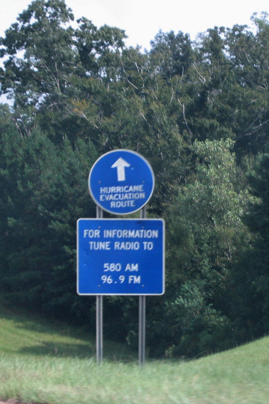
31-JUL-2007
10:25 am
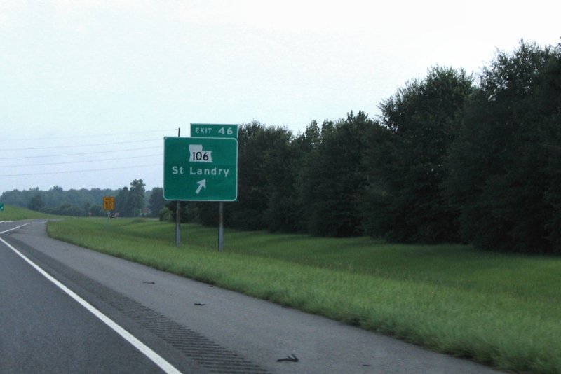
Have I mentioned that this stretch is really boring, so I took a lot of pictures? These signs are all over I-49. I find it amusing that they update you on the hurricane route so much. Now, the traffic update station is nice information, and if all the signs had the station on them, this would make sense. But a lot of them just have the little round evacuation sign. Once you get onto I-49, do you really need to be told ever 10 miles that you're still on the right road? Are you accidentally going to get off of the official evacuation route? I'm just curious.
31-JUL-2007
10:36 am
Finally, you hit a small bit of civilization. I left this picture exactly as is from the camera, so you could see the stylish slant. I'd like to say I did that on purpose, but in reality, that's what it looks like when you just hold the camera up and shoot at 70mph, trying not to hit the car next to you and making sure you are not taking a wrong turn.
This I-49 by pass was wonderful and shaved 20 minutes off the trip. Before it was completed (during my college years), you had to get off and take this road that put you on a little round abouts through the city. Round abouts in the US are scarier than they are in Europe because few people know how to use them.
31-JUL-2007
11:05 am
Really, once you get through the city, it just starts to look the same again. Hours and hours of this.
31-JUL-2007
11:23 am
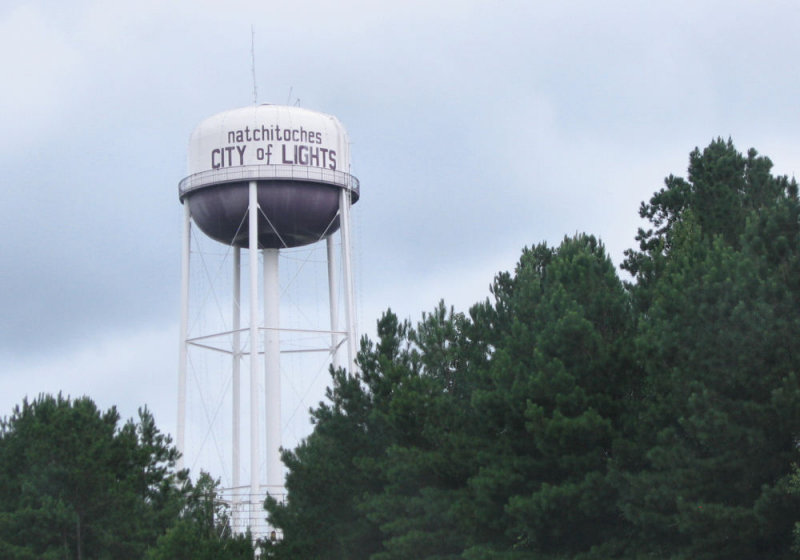
Milestone Number 3. Nachitoches. Not pronounced as it is spelled (nah-ki-dish). One year, my mom and I drove through here to see the lights at Christmas time. It was actually quite pretty. One year, maybe Scott and I will get a room here during Christmas and take a little lighted boat ride on the river. However, nothing will erase my fondest memory of driving through here during college. Back then, after leaving Shreveport going south, this was 30 miles away and had the next gas stop. I thought I could make it. I really did. I managed to pull off the Interstate at the exit, cross over to the one gas station and make it just up the hill to the station on fumes, and coast into the pump right as the engine died. Perhaps this explains why I tend to make Shreveport my fill-up place even when my trip starts in Dallas and not Abilene.
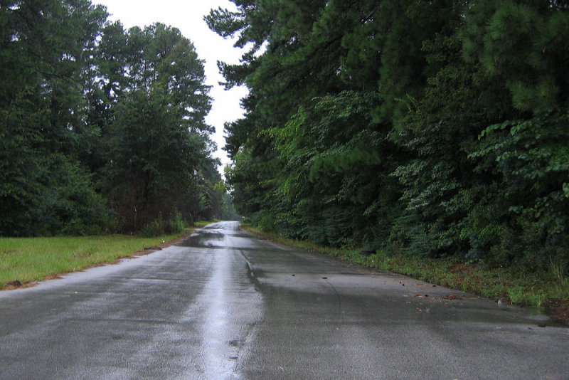
31-JUL-2007
11:37 am
This is that 30 mile stretch between Nachitoches and Shreveport that once again looks just like the rest of I-49 through Louisiana. See, not a gas station in sight.
31-JUL-2007
12:01 pm
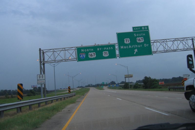
Here I am on the southern edge of Shreveport. Again, signs of civilization. I think this is on the I-220 by-pass from I-49 to I-20. Before this was built (again, back in my college days), we would take the Industrial Loop. I'm not sure if the by-pass really saves any time, but at least you don't have to stop and wait at a lot of lights. Of course, that's usually the point where we grabbed something to eat and some gas.
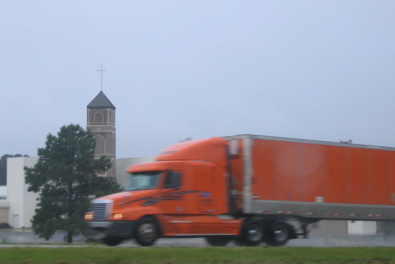
31-JUL-2007
12:17 pm
Finally reaching I-20 (in the rain I might add), I saw this pretty little church off to the left. Apparently, the big orange truck headed east thought he made a better picture.
31-JUL-2007
12:32 pm
Ah, crossing the state line. If you've ever made this drive, you'll notice that the road quality changes here. It is much smoother on the Texas side. When I was a Louisiana resident, I staunchly stood up for my state when Scott would point this out. Now that I'm a Texas resident, I can honestly agree with him. Texas roads are better--especially in the rain. I should have stopped and picked up new maps at the rest station, but it was raining, and I was ready to get home.
31-JUL-2007
1:18 pm
I stopped in Longview to get gas. This was a little road that I turned into just before getting on the Interstate when I realized that I had forgot to close my gas cap. I had gotten the call from Shaggy just before this that our good friends Bob and Cat Prather had been in a car accident. Bob had died on the scene and Cat was in ICU at the hospital. My picture taking sort of slowed down as my concern grew and I waited for more news.
31-JUL-2007
1:35 pm
My thoughts kept going to Bob and Cat. I had talked to Scott and asked him to check a radar to let me know when things were going to clear up for me. He told me that it looked like I was going to be in rain until Tyler. I don't really know where I took this picture. Everything had become a bit of a blur while my thoughts were consumed with Bob and Cat. I think this must be just east of Tyler.
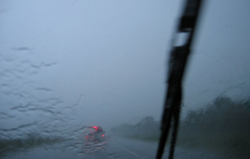
31-JUL-2007
2:40 pm
And finally, I decided to snap one more shot. I think this is shortly before Hwy 80 splits off at Terrell. The rain was really coming down here. Another right out of the camera shot. We were slowing to 30mph at some points because you could hardly see the person in front of you. I didn't try taking any pictures at those points. This felt risky enough. I kept thinking that it would be really bad to get into an accident just after learning about Bob and Cat. And how on earth would I explain it? The weather got worse and then there was a traffic in Dallas, so this was the final picture.
I had a lot of fun on my picture quest and would like to try it again on a clear day. Perhaps I might turn this on the road gallery into a multi-trip gallery.