


|
|
|
|
|
|
| Chris Utter | profile | all galleries >> Galleries >> Alameda Creek Trail | tree view | thumbnails | slideshow |
 Old Canyon Road Bridge |
 West view |
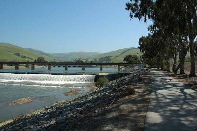 Railroad Bridge |
 Sequoia Bridge |
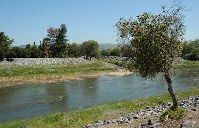 Dry Creek |
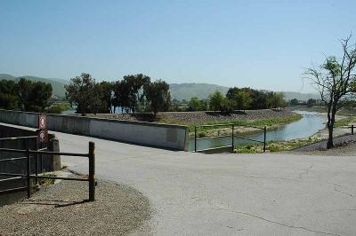
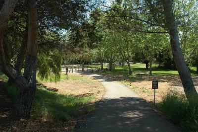 Beard Staging Area |
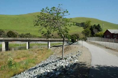
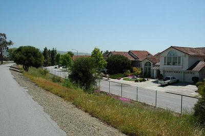 Nearby houses |
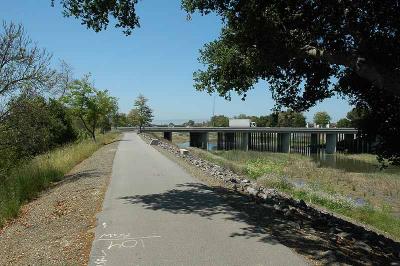 I-880 Bridge |
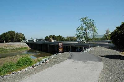 I-880 Bridge |
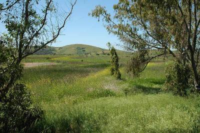 Coyote Hills |
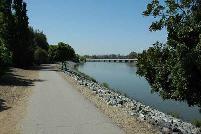
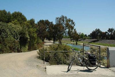 North Side Trail |
 Walkers |
| comment | share |