


|
|
|
|
|
|
| Cheryl Ridge | profile | all galleries >> AUSTRALIA & OVERSEAS TRAVEL >> Victoria Australia >> North and Central Victoria >> Hattah Kulkyne | tree view | thumbnails | slideshow |
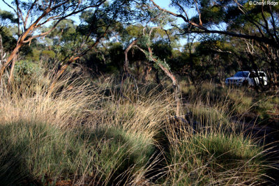
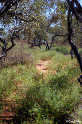 7478- "prickles galore" shingleback track |
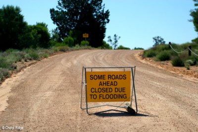 7479- flooded main road to Mournpall |
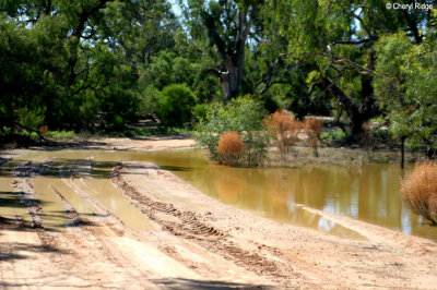 7480- flooded main road to Mournpall |
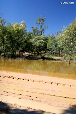
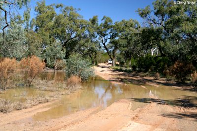 7492- flooded main road to Mournpall |
 7496- flooded main road to Mournpall |
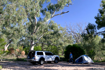 7510- Mournpall camp ground |
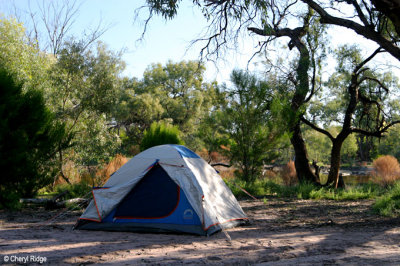 7511- Mournpall camp ground |
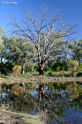 7517- Mournpall camp ground |
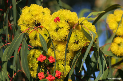 7529-yellow-flowers |
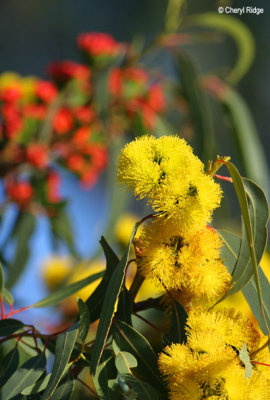 7535 - yellow flowers at Hattah Kulkyne |
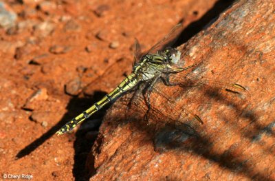 7932b-dragonfly |
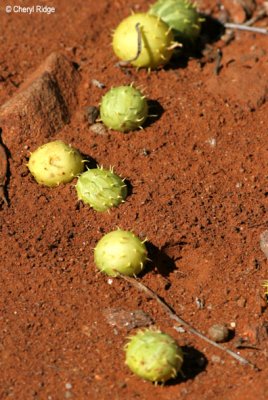 7934-baby paddy melons seen on nature walk |
 9204- early morning Nowingi track |
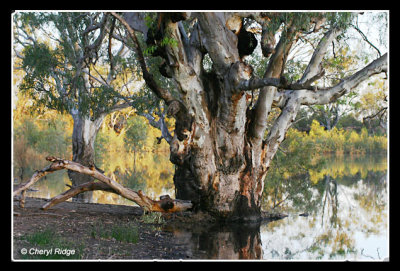 6444-lake-hattah-VIC |
| comment | share |