


|
|
|
|
|
|
| Chen WS | profile | all galleries >> Galleries >> Bali Landscapes 2007 | tree view | thumbnails | slideshow |
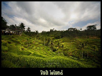 Tegalallang Ricefields |
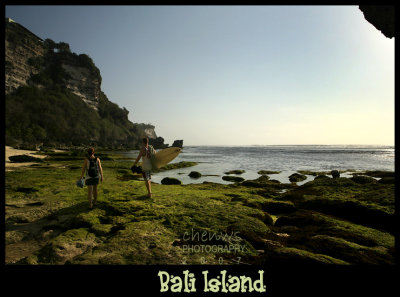 Uluwatu |
 Uluwatu |
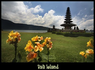 Ulu Danu |
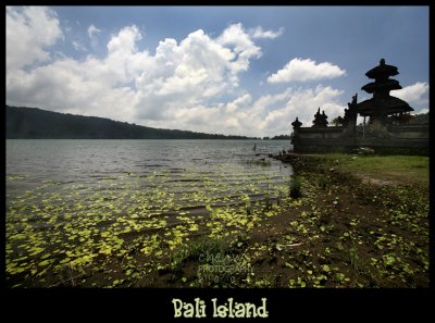 Lake Bratan |
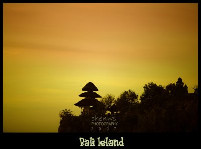
 Tanah Lot |
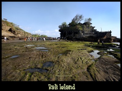 Tanah Lot |
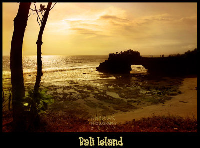
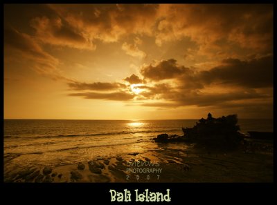 Sunset at Tanah Lot |
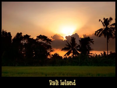
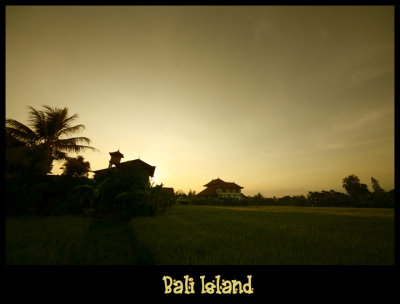 Ubud sunrise |
 Ubud paddy fields |
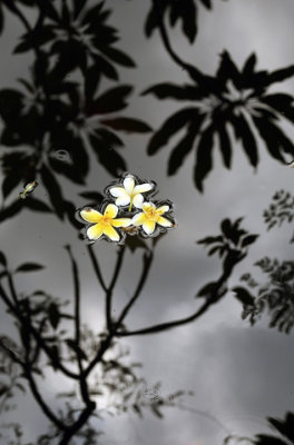 Frangipani (Bali) |
| comment | share |