


|
|
|
|
|
|
| Chen WS | profile | all galleries >> Galleries >> Bromo Tengger Semeru National Park 2011 | tree view | thumbnails | slideshow |

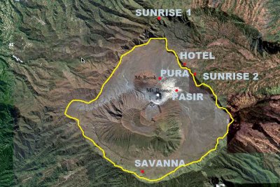 Map |
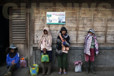 After work |
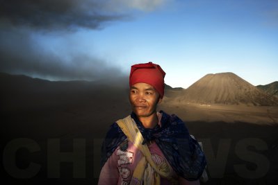
 Old lady, Mt Bromo, Indonesia |
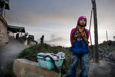 Street peddlar |
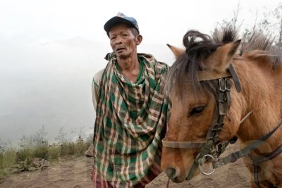
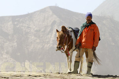
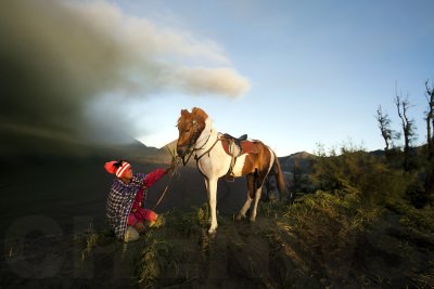 Horseman |
 Souvenir seller |
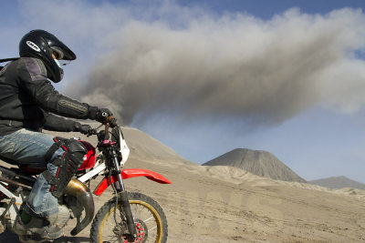 Biker |
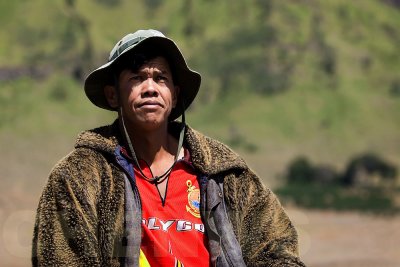
 Farmer |
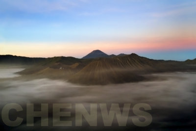
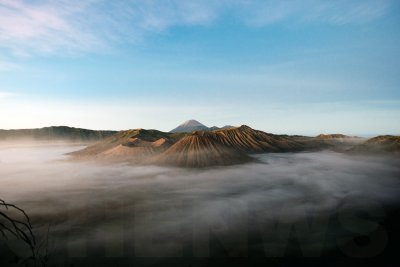 Sunrise |
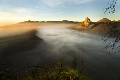
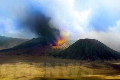
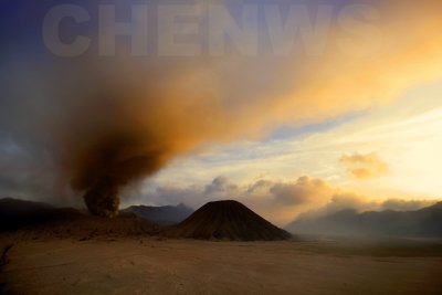
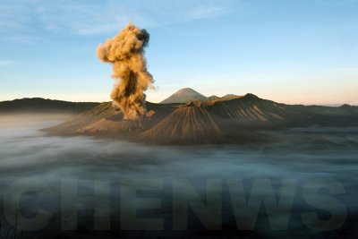 Eruption |
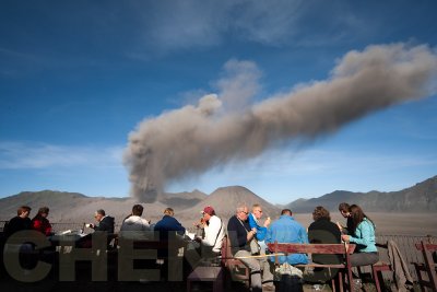 Breakfast |
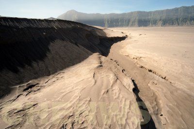 River of sand |
 Smoking |
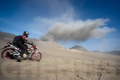 Rush |
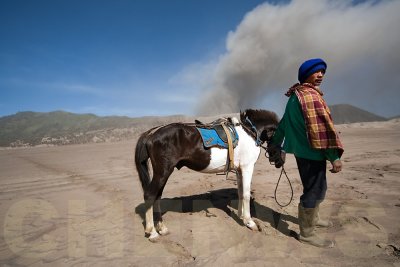 Tengger Horseman |
 Tengger Horseman |
 Tengger Horseman |
 Farmer |
 Farmer |
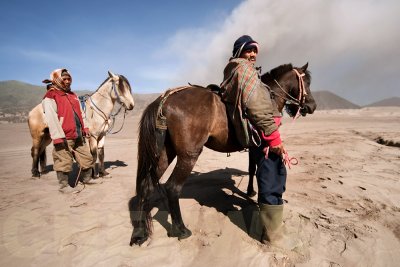
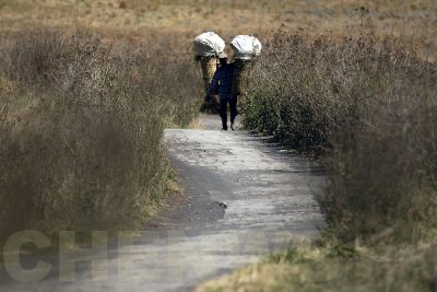
 Tengger horsemen |
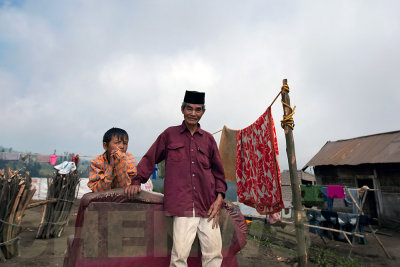
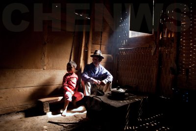 Man and grandson |
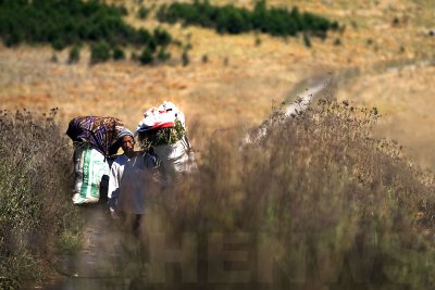
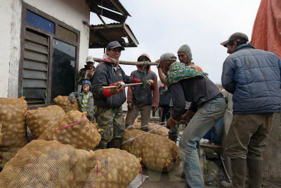 Potato traders |
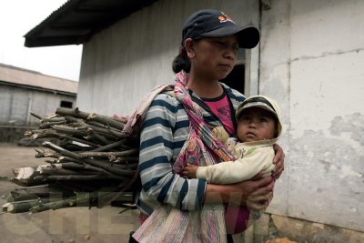 Mother and child |
 Muslim man and grandson |
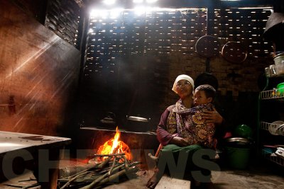 Grandmother and boy in the kitchen |
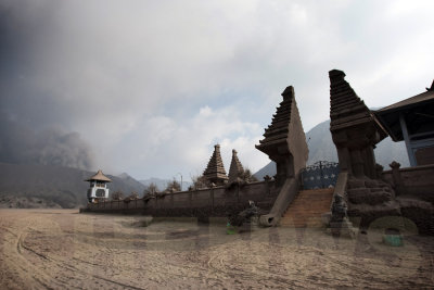 Pura Luhur Poten |
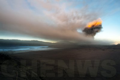 Sunlight on the eruption |
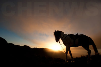 Horse silhouette |
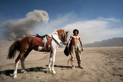
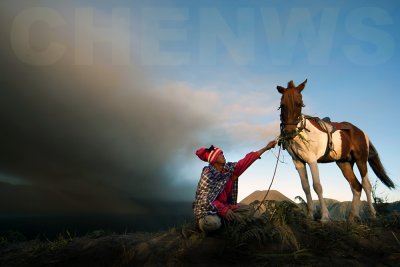 Tengger Horseman |
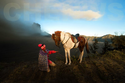 Tengger Horseman |
 Sunrise |
 Sunrise |
 Sunrise, Mount Bromo |
 Tengger Horseman |
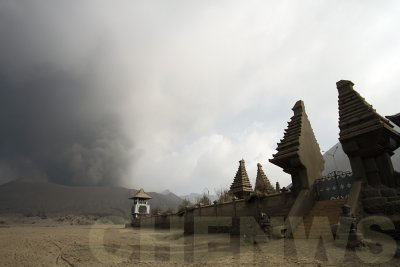 Pura Luhur Poten |
 Mt. Bromo |
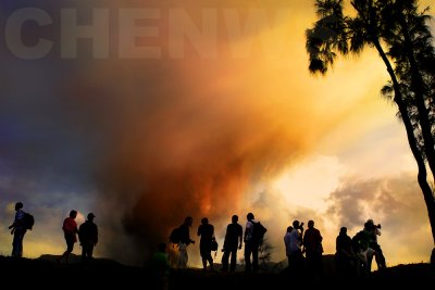 Silhouette of photographers |
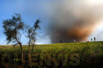 Viewing from afar |
 View at sunset |
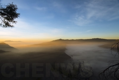
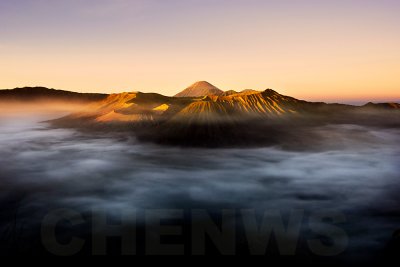
 Morning skies, view from Pananjakan |
 A quiet morning |
| comment | share |
| joseantonio | 08-Jul-2011 13:34 | |