


|
|
|
|
|
|
| Michael | profile | all galleries >> Infrared Images >> Death Valley in Infrared | tree view | thumbnails | slideshow |
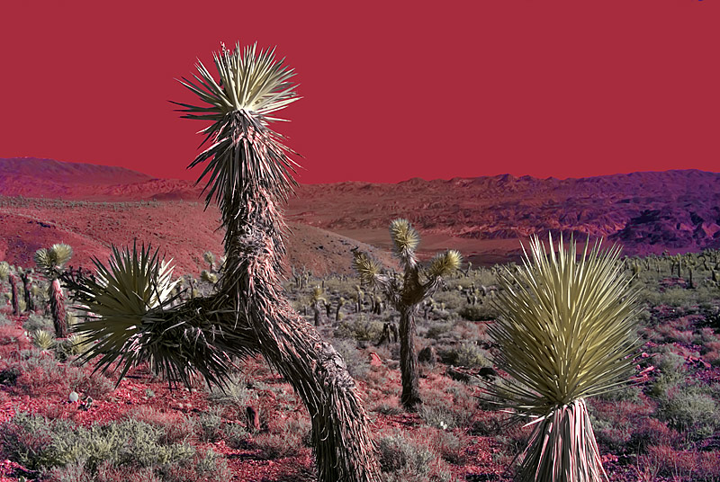
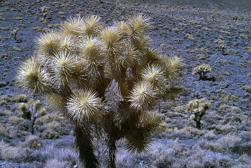 Joshua Trees in Death Valley |
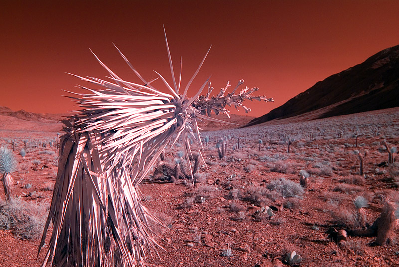 Almost decapitated. |
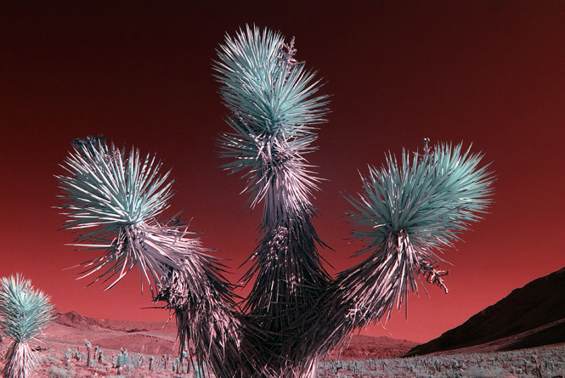 C,mon, give us a hug! |
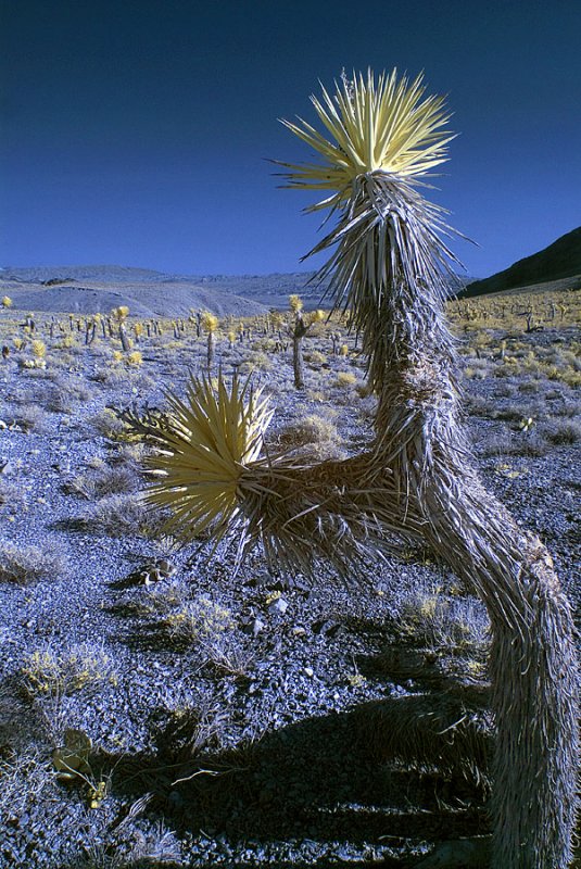 Joshua Tree forest. |
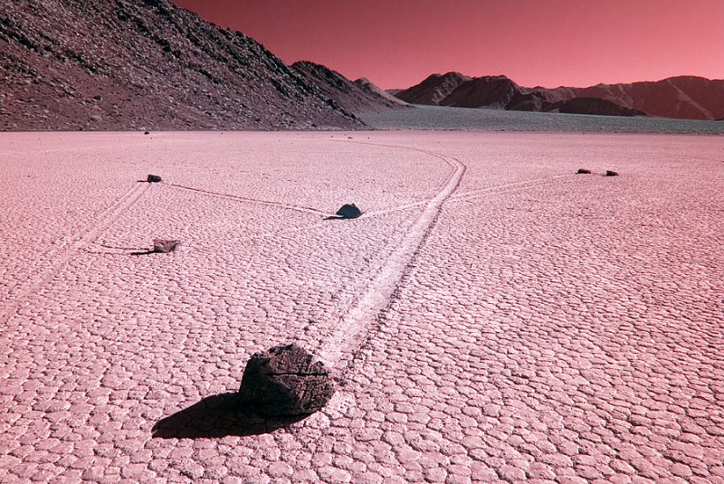
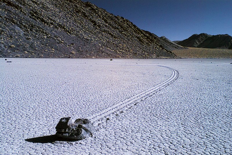 The moving rocks of the Racetrack. Death Valley National Park. |
 It's only a half mile hike to the rocks. |
 No one has ever seen them move. |
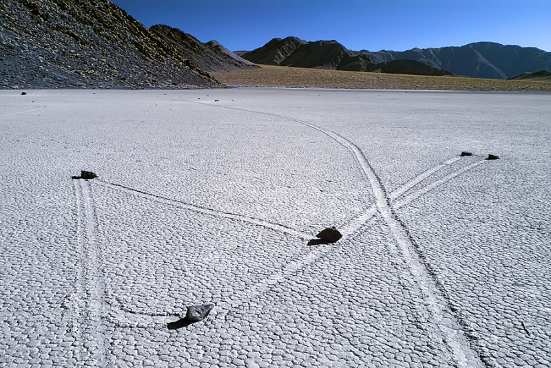
 More moving rocks at the racetrack. |
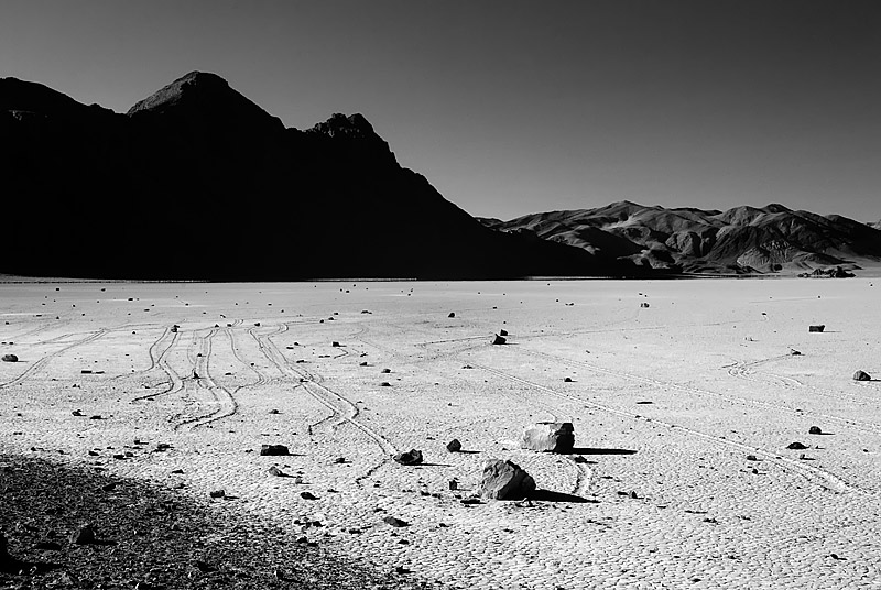
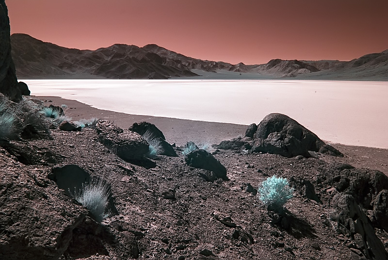 The playa as seen from the grandstand. |
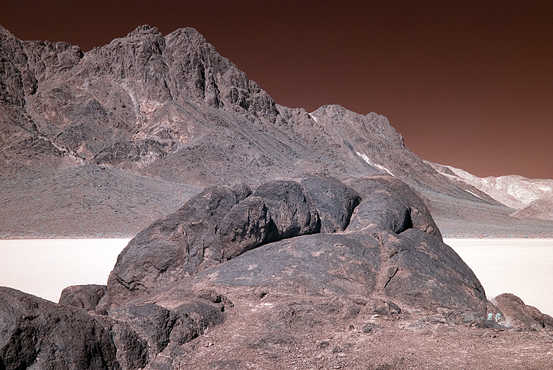 Little Ubehebe Peak in Death Valley. |
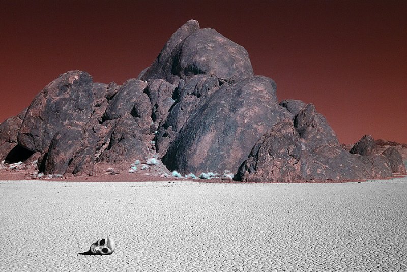 Alien head on the playa. |
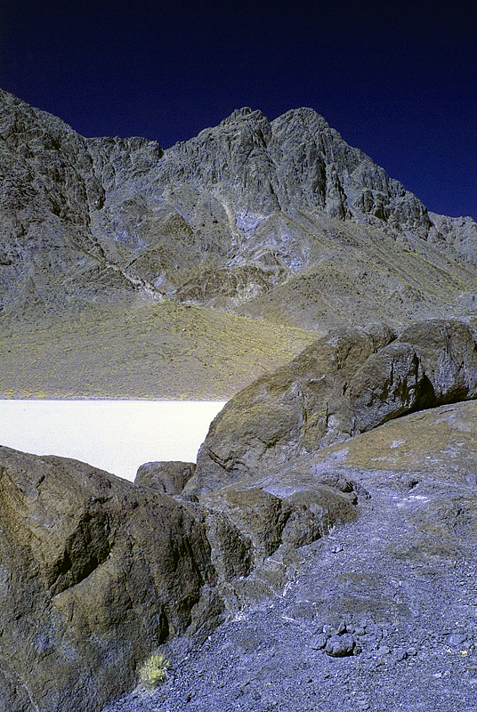 Looking up at Little Ubehebe peak. |
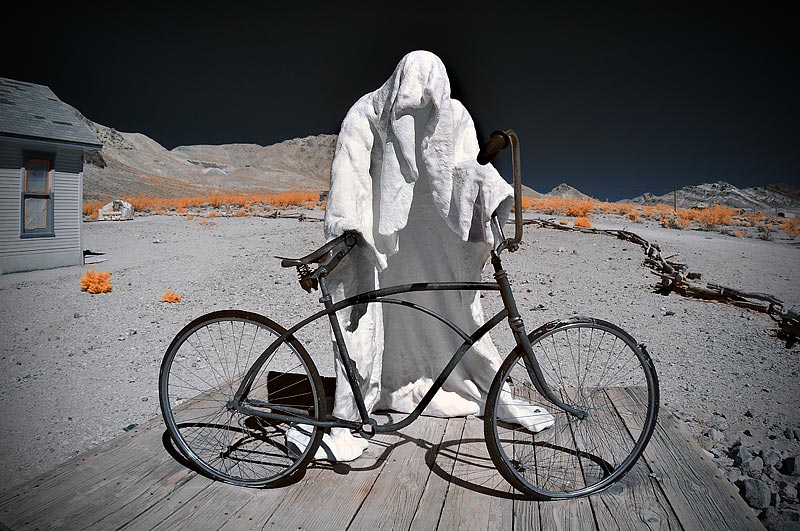
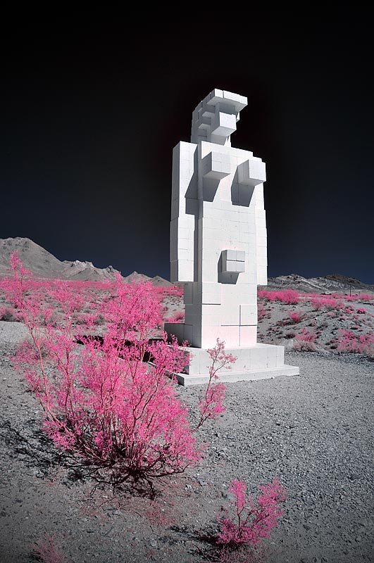
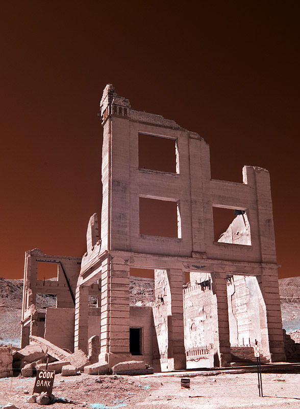 Rhyolite ghost town. |
 Ghost town of Rhyolite, Nevada. Just outside of Death Valley NP. |
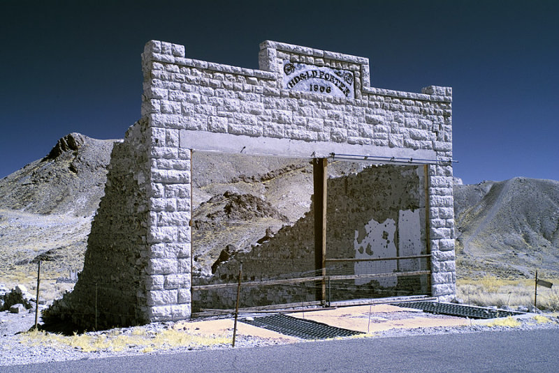
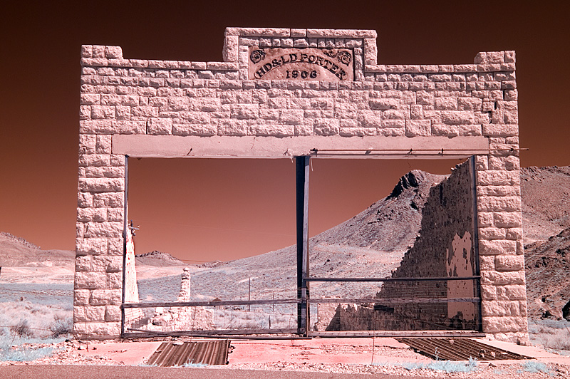 HD & LD Porter Building, Rhyolite, Nevada. |
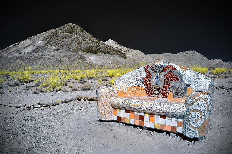
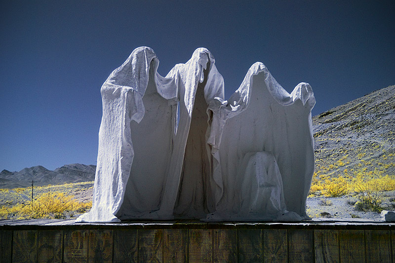 Desert Art in Rhyolite, Nevada. |
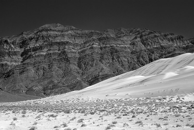
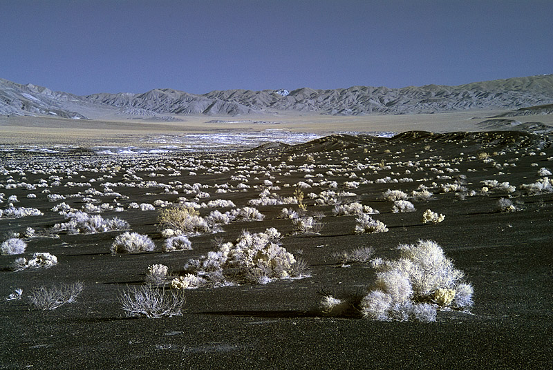
 Eureka Dunes in the northern part of the park. |
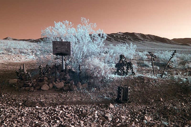 Crankshaft Crossing, reached after a long drive over a washboarded road. |
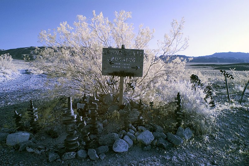 Another view of Crankshaft Crossing. |
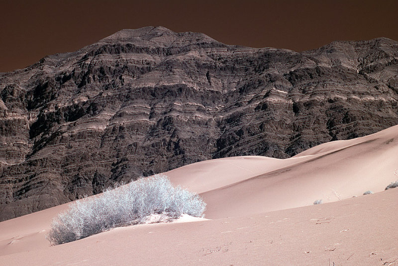
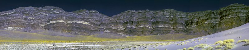
 Last Chance Mountains rising above the Eureka Dunes. |
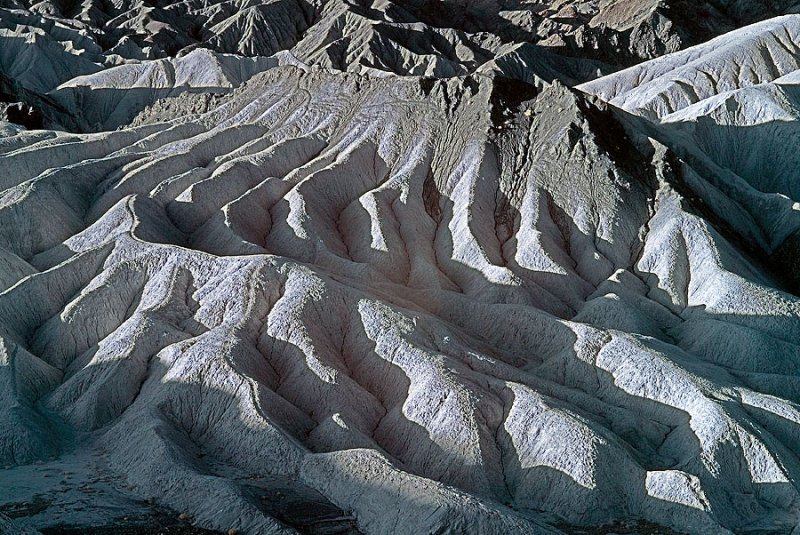 Zabriskie Point at sunrise. |
 The Valley as seen from upon an alluvial fan. |
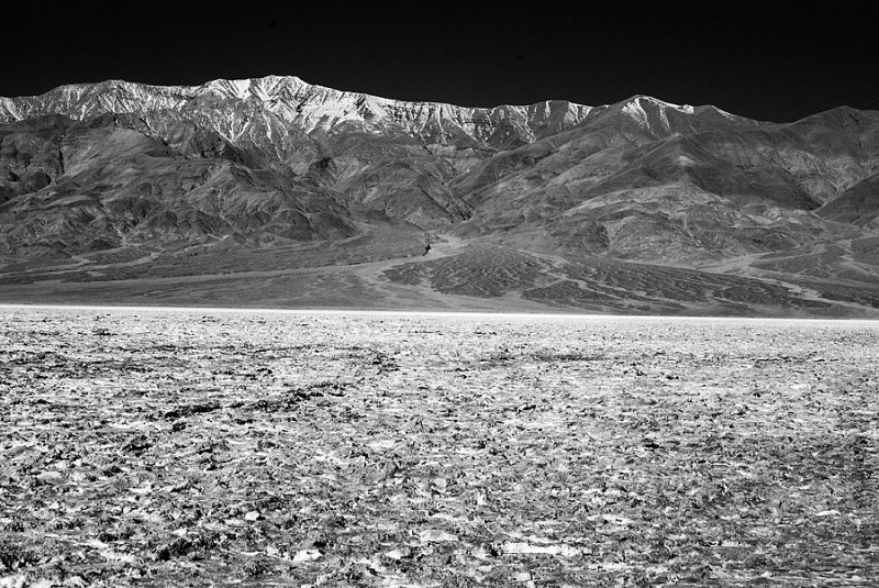 Telescope Peak, 11,000 ft. higher than valley floor. |
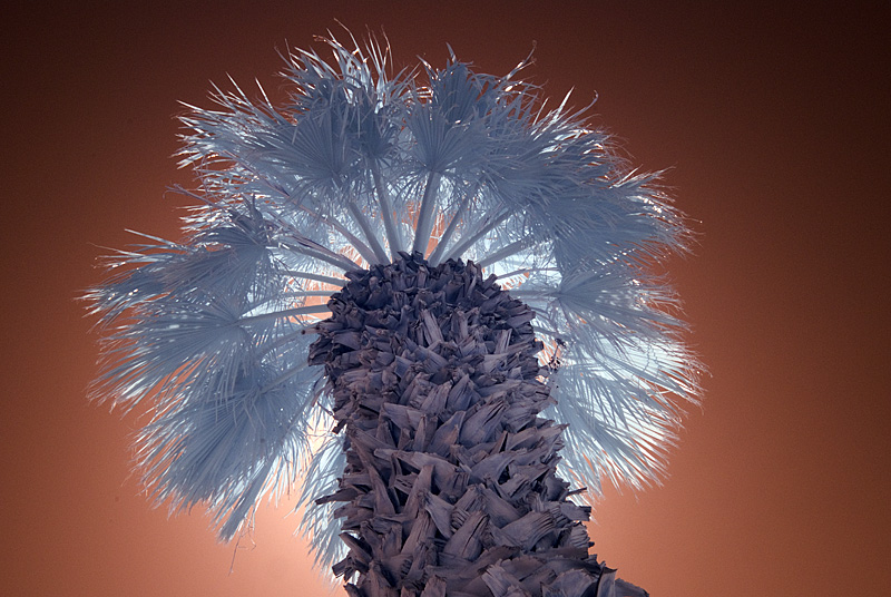 Palm Tree at Furnace Creek. |
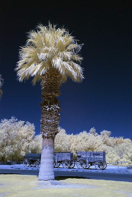 Furnace Creek palm. |
 Devil's golf course. |
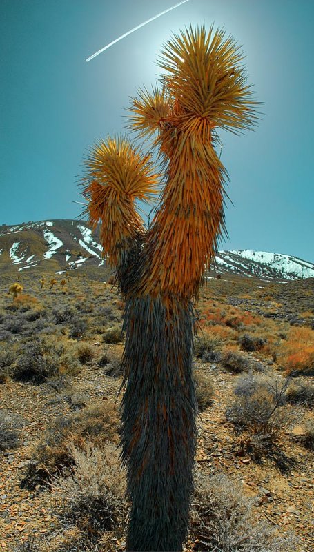 Joshua Tree |
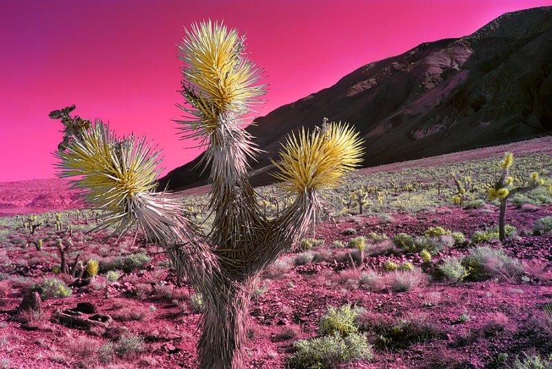 Joshua Tree forest |
 Joshua Tree forest |
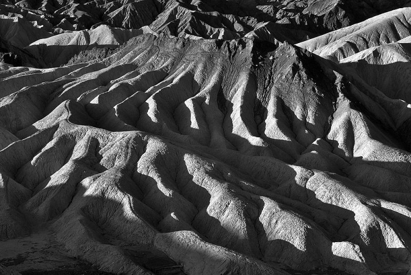 Zabriskie Point |
 Eureka Dunes, Death Valley |
 Rhyolite, Nevada |
 Rhyolite, Nevada |
 Rhyolite, Nevada |
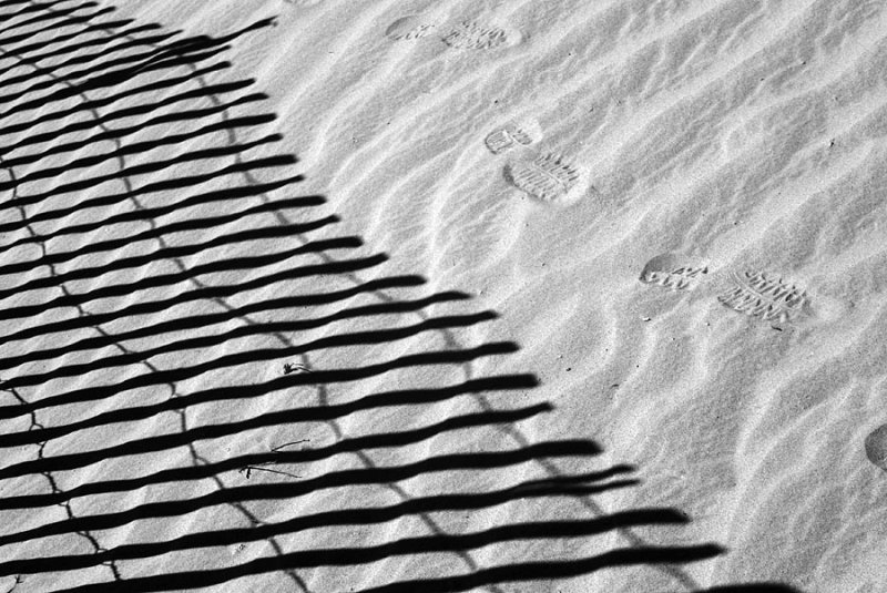 At Eureka Dunes |
| comment |
| Jeff Doden | 09-Dec-2009 04:46 | |
| William Hartshorn | 09-Dec-2009 02:51 | |
| PauloCGama | 07-May-2009 02:13 | |
| Bidyottam | 10-Apr-2008 17:11 | |
| Julie Bird | 08-Apr-2008 02:13 | |