


|
|
|
|
|
|
| Dave Banks | profile | all galleries >> odds and ends... >> Āgraeme... >> ĀNantahala... | tree view | thumbnails | slideshow |
the first three dozen images were added 1/23/09, and are not from the Appalachian Trail.
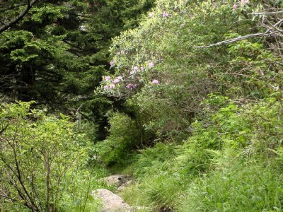
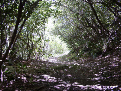
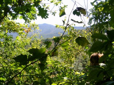
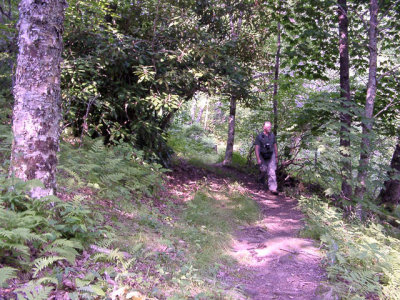
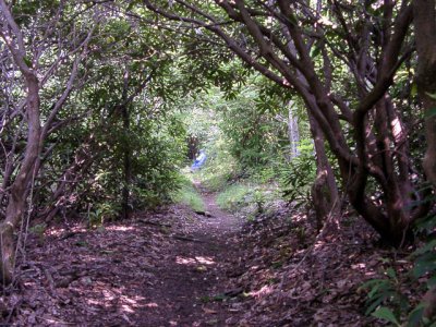
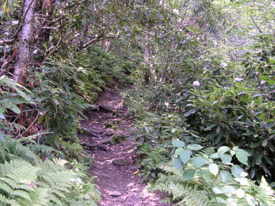
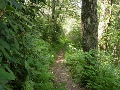
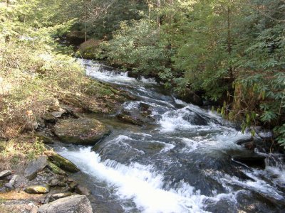
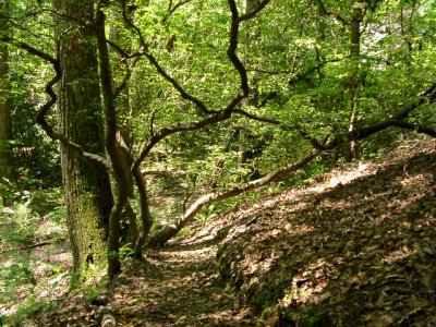
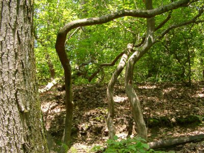
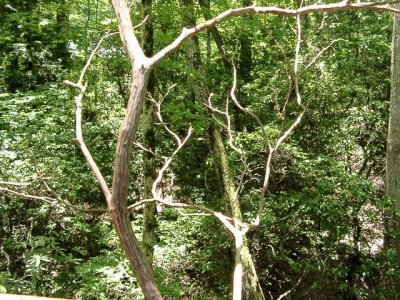
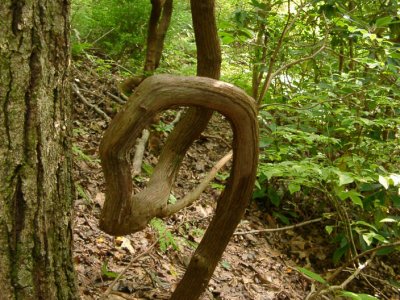
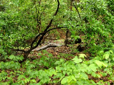
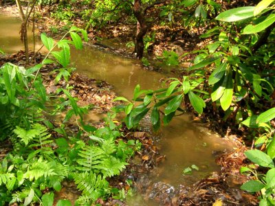
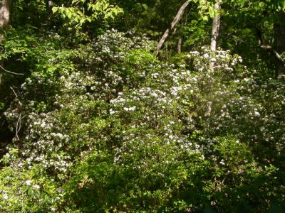
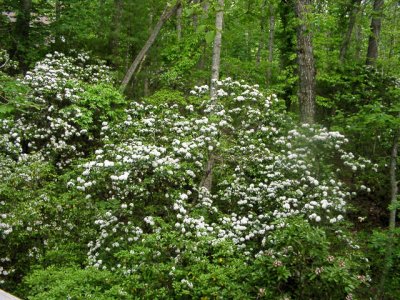
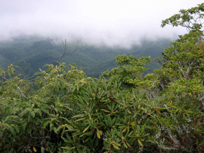
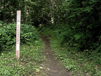
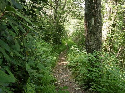
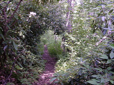
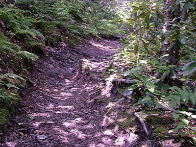
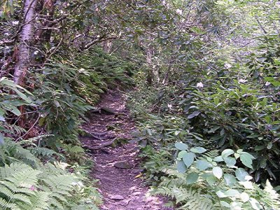
all of these images are along the Appalachian Trail starting from a point halfway between Wayah Bald and Copper Bald, going north toward Copper Bald, and all inside the Nantahala Forest (the same area the FBI was looking for Eric Rudolph). . . many of the other hiking pictures are along this same piece of the AT
 AndrewsBald0206250068s.JPG |
 BartramTrail0205150018.s.JPG |
 BRP437 0809240011s.JPG |
 CopperBald0207020005s.JPG |
 CopperBald0207020009s.JPG |
 CopperBald0207020028s.JPG |
 CopperBald0207020029s.JPG |
 CopperBald0207020033s.JPG |
 CurtisCreek0311100020s.JPG |
 CurtisCreek0311100023s.JPG |
 GregoryBald0206180032.JPG |
 HVL0206140025s.JPG |
 HVL0306090012s.JPG |
 HVL0306090013s.JPG |
 HVL0306090017s.JPG |
 HVL0306090021s.JPG |
 HVL0408090011s.JPG |
 HVL0503290001s.JPG |
 HVL0505300028s.JPG |
 HVL0506060002s.JPG |
 HVL0506060004s.JPG |
 HVL0506060005s.JPG |
 HVL0506060008s.JPG |
 HVL0507010001s.JPG |
 HVL0507010002s.JPG |
 HVL0507010005s.JPG |
 HVL0705200002.JPG |
 HVL0705200003.JPG |
 HVL0705200026s.JPG |
 HVL0705210001s.JPG |
 HVL0705230008s.JPG |
 PilotMtn0208290006s.JPG |
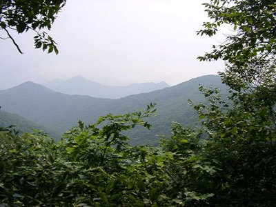
 AT in Nant Frst 0207020003.JPG |
 AT in Nant Frst 0207020033.JPG |
 AT in Nant Frst 0207020034.JPG |
 AT in Nant. Frst 0207020029.JPG |
 AT Nant Frst 020207020028.JPG |
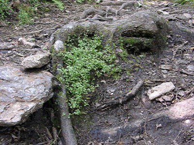 bluets AT Nant Fr0207020030.JPG |
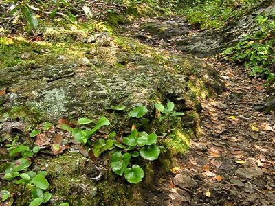 galax AT 0207020023.JPG |
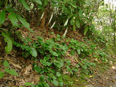 galax AT Nant Frs0207020032.JPG |
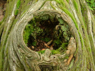 knothole 0207020051.JPG |
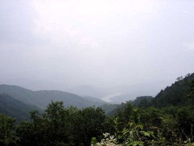 Lake Nantahala 0207020056.JPG |
 off AT Nan.Frst 0207020027.JPG |
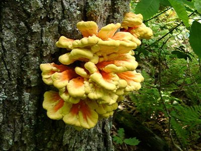 tree ear 0207020043.JPG |
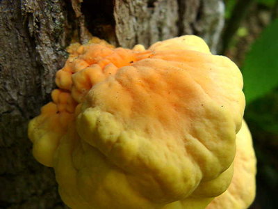 tree ear 0207020046.JPG |
| comment |