


|
|
|
|
|
|
| Kazuo Lim Khee Boon | profile | all galleries >> My Trekking Rendezvous >> Penang Trekking Trails & Tracks >> [01] Botanical Garden - Penang Hill via Jeep Track | tree view | thumbnails | slideshow |
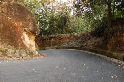
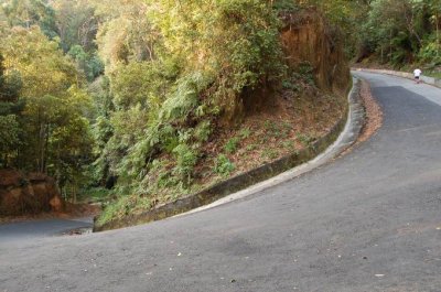
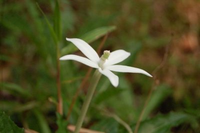
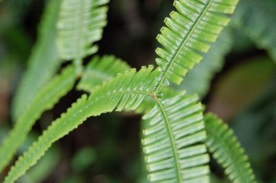
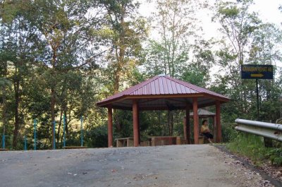
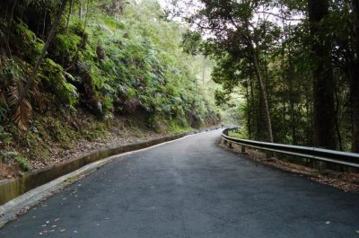
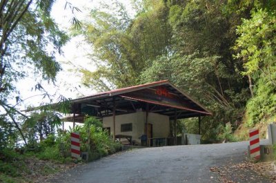
[01] Botanical Garden - Penang Hill via Jeep Track
| Elevation | 735 m (2,450 ft) |
| Distance | 5.1 km |
| Location | Penang Island |
| Country | Malaysia |
| Starting Point | Botanical Garden |
| Destination | Penang Hill |
| Difficulty | Moderate to Tough |
| Latest Attempt | 21st June 2008 |
 |
Looking for any suitable photos for yourself, business, book publication or etc? Click HERE [Boon's Gallery] to purchase now |
 |
Visit Shaun's blog about his mountain adventures here |
 |
Visit Shaun's blog about his running escapades here |
 DSC_0360.JPG |
 DSC_0366.JPG |
 DSC_0374.JPG |
 DSC_0379.JPG |
 DSC_0381.JPG |
 DSC_0385.JPG |
 DSC_0388.JPG |
 DSC_0392.JPG |
 DSC_0422.JPG |
 DSC_0434.JPG |
 DSC_0472.JPG |
 DSC_0477.JPG |
| comment | share |