


|
|
|
|
|
|
| Kazuo Lim Khee Boon | profile | all galleries >> My Travel Album >> Malaysia >> East Malaysia >> Sarawak | tree view | thumbnails | slideshow |
Sarawak - [ Bumi Kenyalang ]

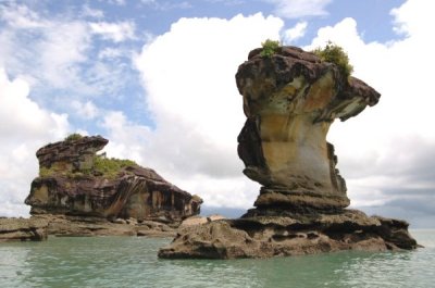
Bako National Park |
Bintulu |
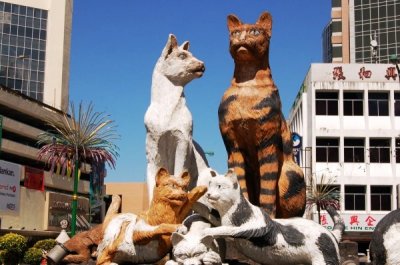
Kuching |
Lambir Hills National Park |
Miri |
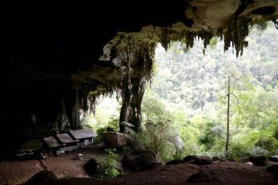
Niah National Park |

Santubong |
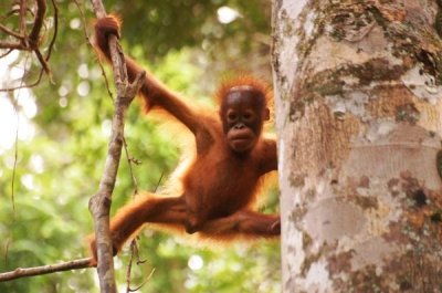
Semenggoh Nature Reserve |
Sibu |
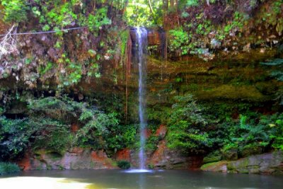
Similajau National Park |
| comment | share |