


|
|
|
|
|
|
| Kazuo Lim Khee Boon | profile | all galleries >> My Travel Album >> Germany >> Saarland | tree view | thumbnails | slideshow |
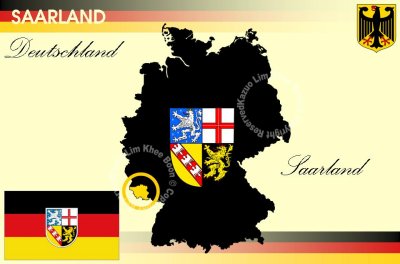
Saarland

| Capital | Saarbrücken |
 |
Looking for any suitable photos for yourself, business, book publication or etc? Click HERE [Boon's Gallery] to purchase now |
 |
Visit Shaun's blog about his mountain adventures here |
 |
Visit Shaun's blog about his running escapades here |
 Saarland.JPG |
| comment | share |