


|
|
|
|
|
|
| Kazuo Lim Khee Boon | profile | all galleries >> My Travel Album >> Malaysia >> West Malaysia >> Penang Island >> Nature Reserves >> Penang Hill | tree view | thumbnails | slideshow |
Penang Hill
 |
All the goodness, happenings, events and taste of Penang. Click to find out more! |
 |
For more information about Penang. Enter HERE [Explore Penang] to find out |
Jeep Road |
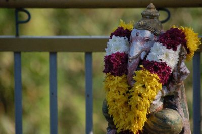
Sri Aruloli Thirumurugan Temple |
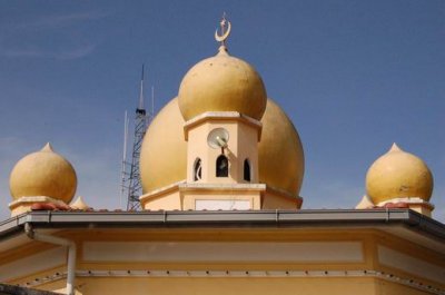
Penang Hill Mosque |
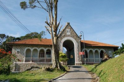
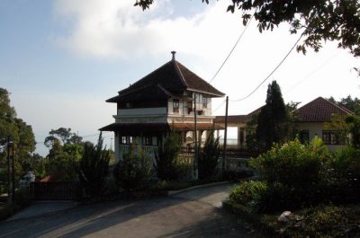
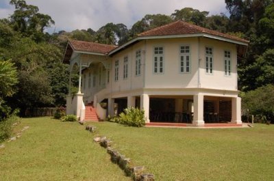
Bel Retiro |
Bellevue Hotel |
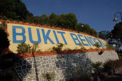
Penang Hill |
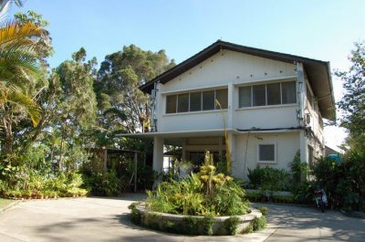
Grace Dieu Bungalow |
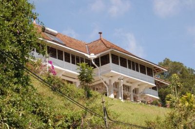
Moy Craig |
Summit Road |
Through |
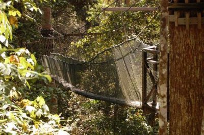
Canopy Walk |
Convalescent Bungalow |
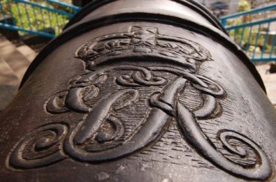
Penang Hill's Cannon |
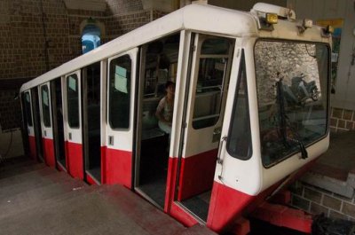
Funicular Railway |
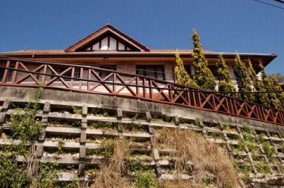
Nature Lodge |
| comment | share |