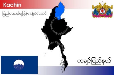
Kachin State is the northernmost state of Myanmar (Burma). It is bordered by China to the north and east; Shan State to the south; and Sagaing Division and India to the west. It lies between north latitude 23° 27' and 28° 25' longitude 96° 0' and 98° 44'. The area of Kachin State is 89,041km˛ (34,379 sq mi). The capital of the state is Myitkyina. Other important towns include Bhamo.
Kachin State has Myanmar's highest mountain, Hkakabo Razi (5,889 metres (19,320 ft)), forming the southern tip of the Himalayas, and Southeast Asia’s largest inland lake, Indawgyi Lake.