


|
|
|
|
|
|
| Brian McMorrow | profile | all galleries >> Asia >> China - 中国 >> Tibet - 西藏 (བོད་) >> Qinghai-Tibet Railroad (Tibet Portion) | tree view | thumbnails | slideshow |
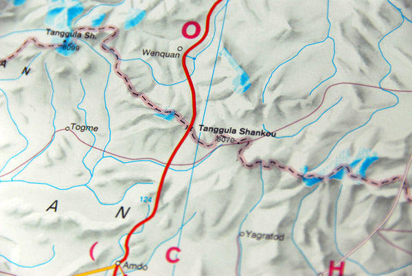 Map showing the area around Mount Tanggula (6070 m) on the border between Qinghai Province and Tibet Autonomous Region |
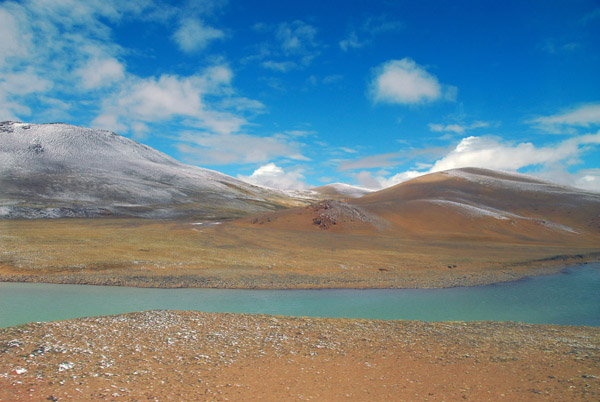
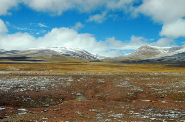
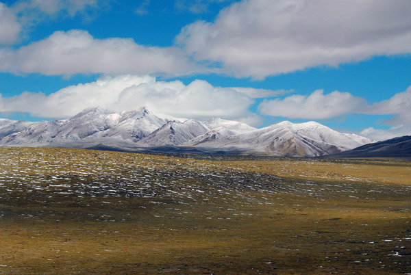
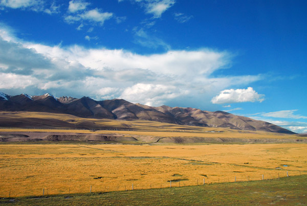
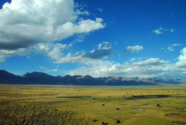
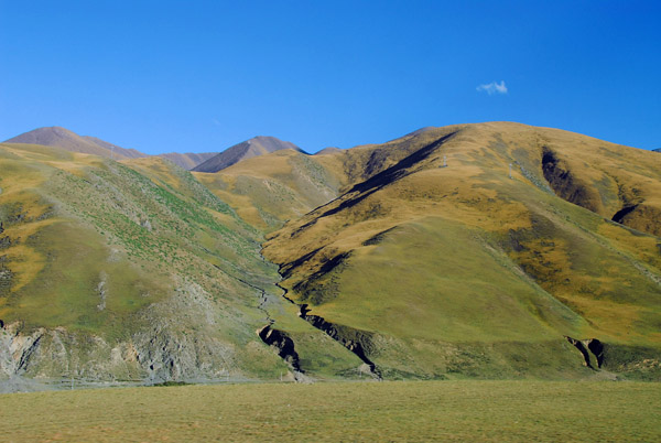
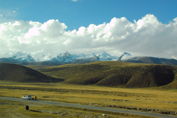
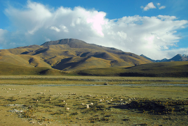
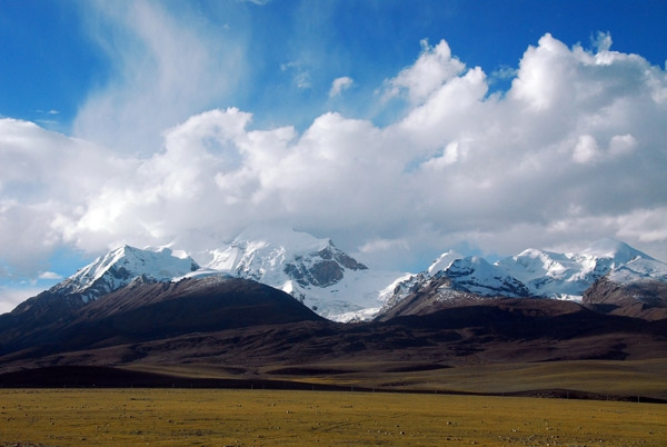
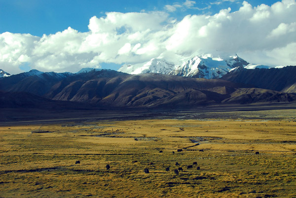
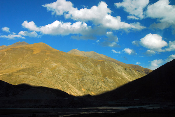
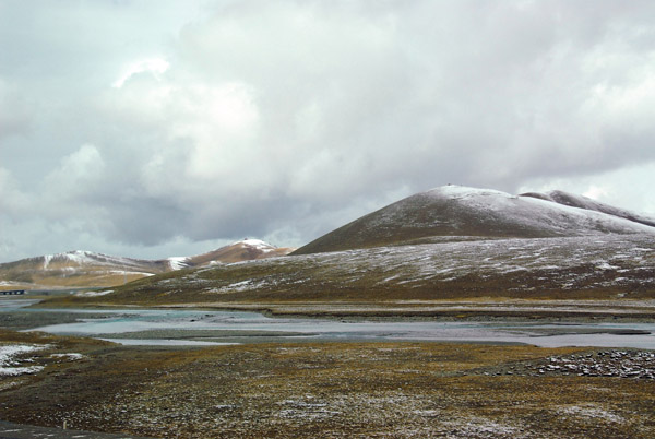 Tibetan plateau along the Qinghai-Tibet border |
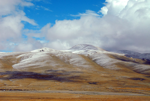
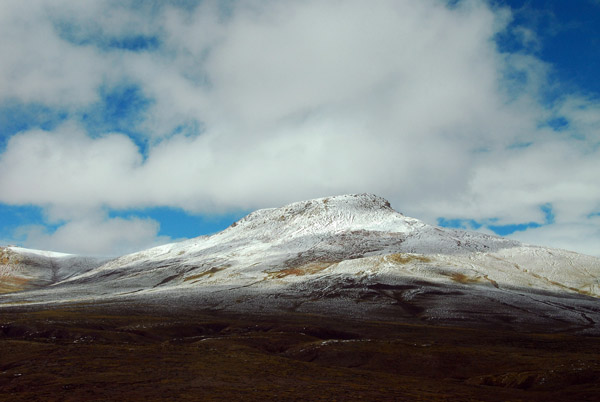
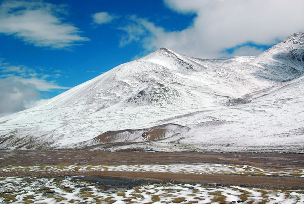
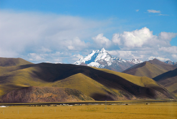
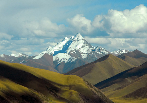
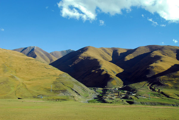
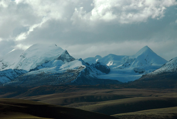
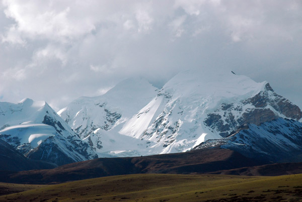
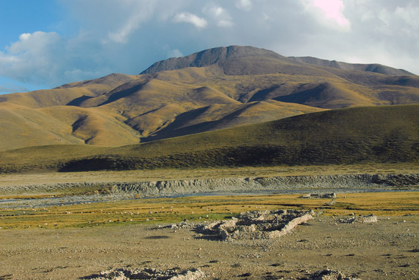
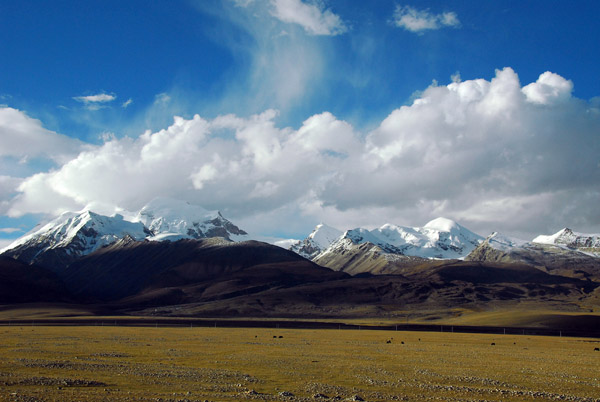
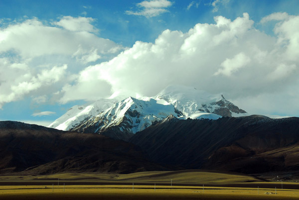
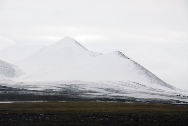 Tanggula Mountains, Qinghai-Tibet border region |
 Tanggula Mountains, Qinghai-Tibet border region |
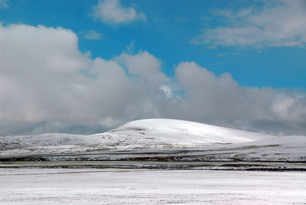
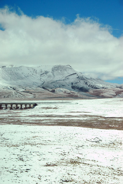
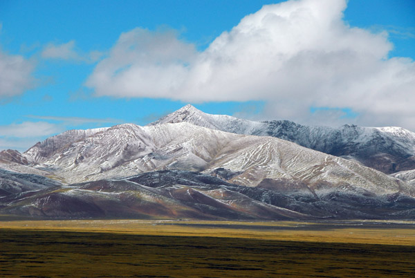
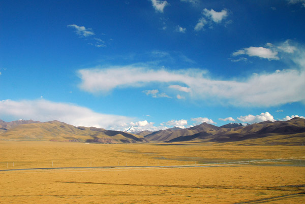
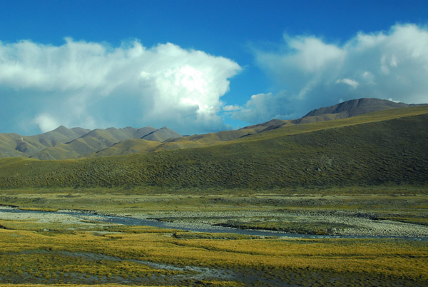
 Tibetan Plateau from the Qinghai-Tibet Railroad |
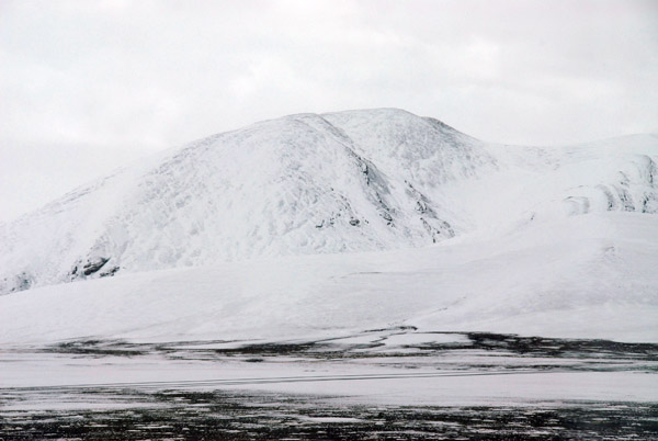
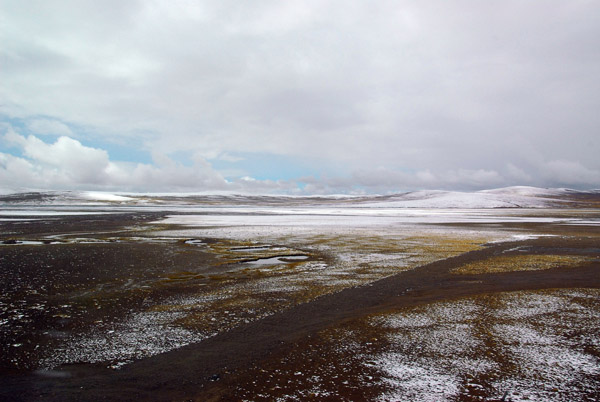
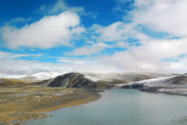
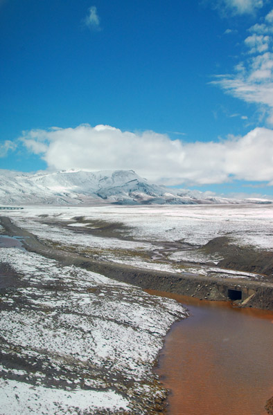
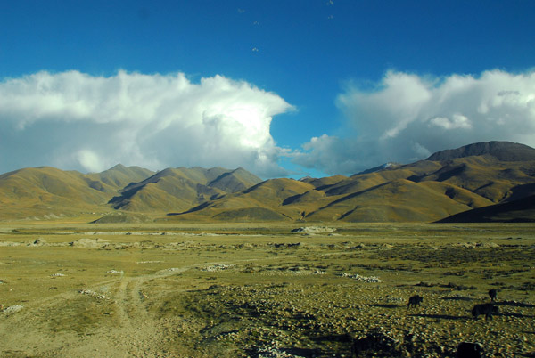
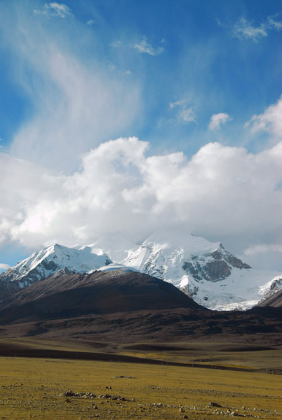
 Snowy and desolate Tibetan Plateau |
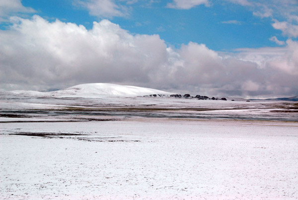
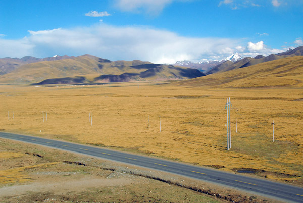
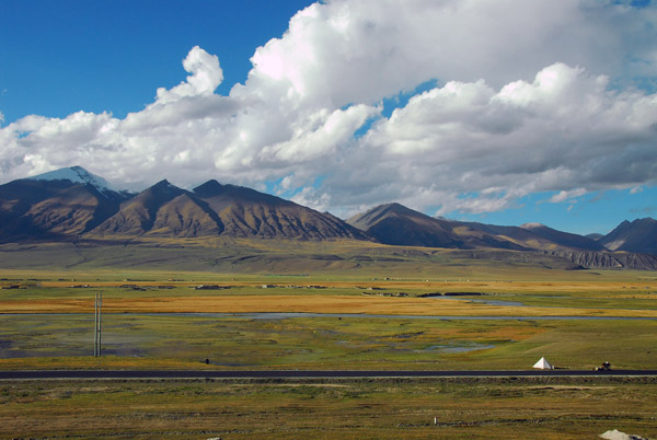
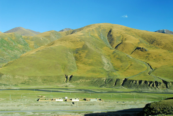
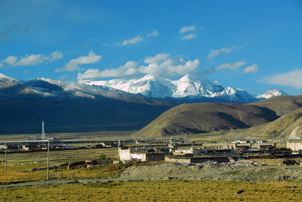
 Soon after the Qinghai-Tibet border, the clouds partially cleared |
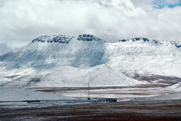
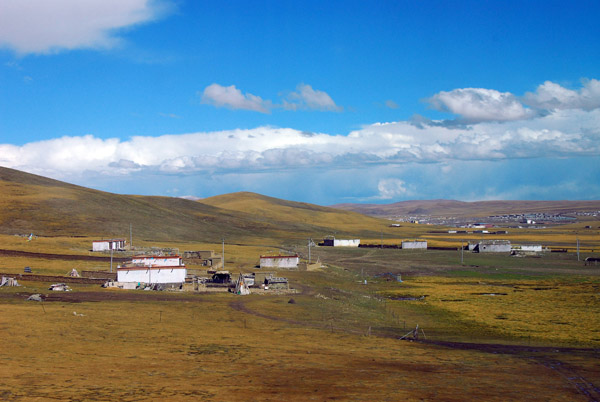
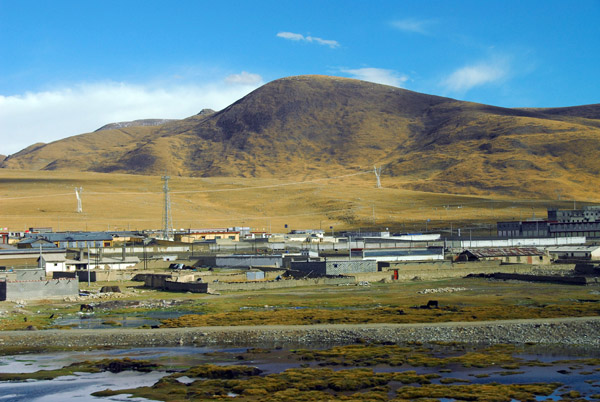
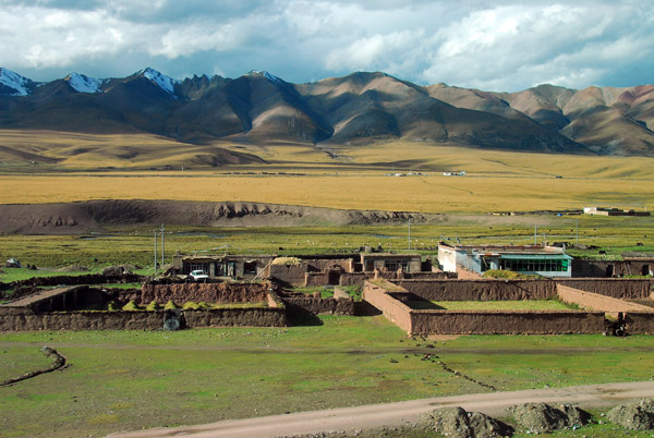
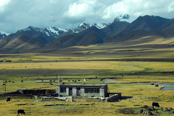
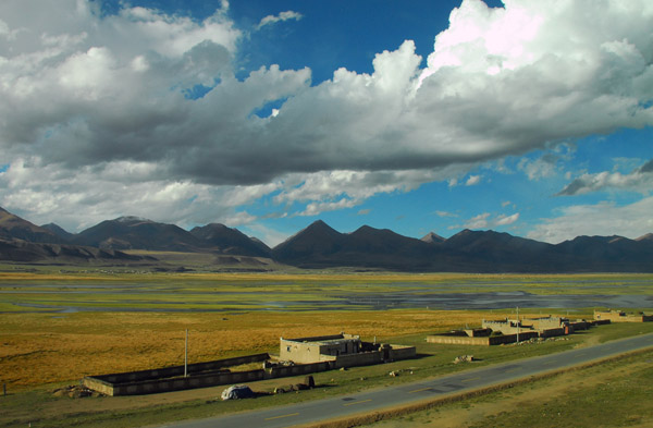
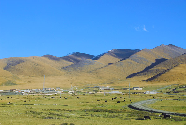
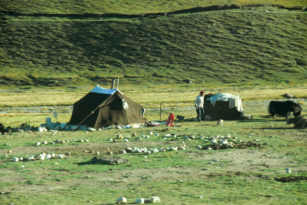
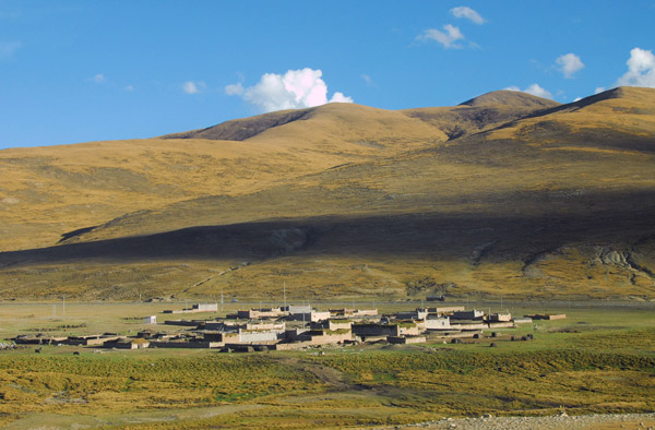
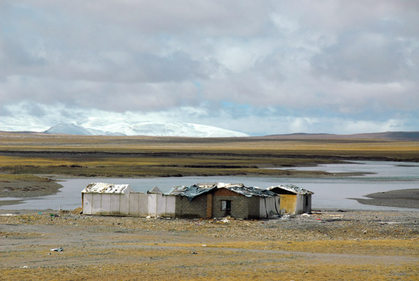 Isolated settlement along the railroad (N32.722/E91.518) near Zhajiazangbu Railway |
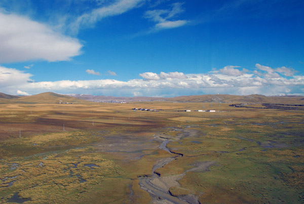
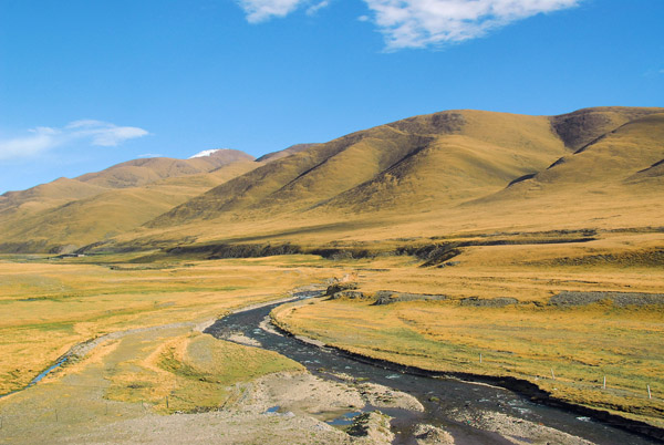
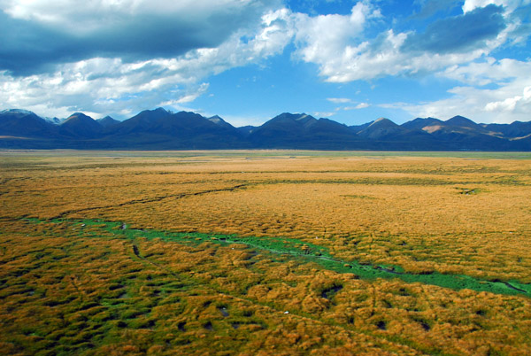
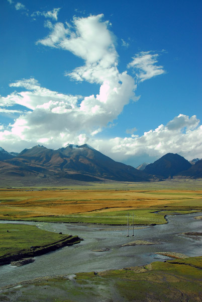
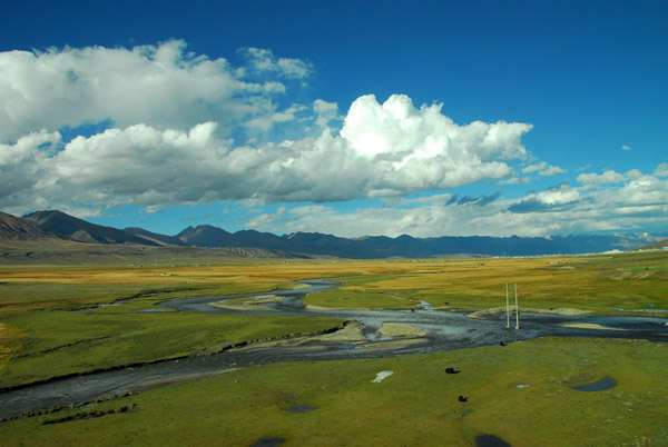
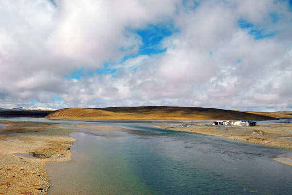 A tributary flows to join the Za'gya Zangbo River |
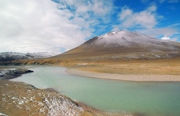
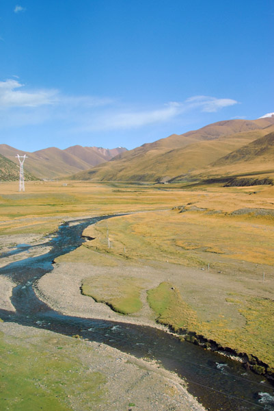
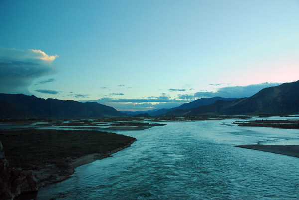
 Za'gya Zangbo, a large river in northern Tibet |
 Za'gya Zangbo, a large river in northern Tibet |
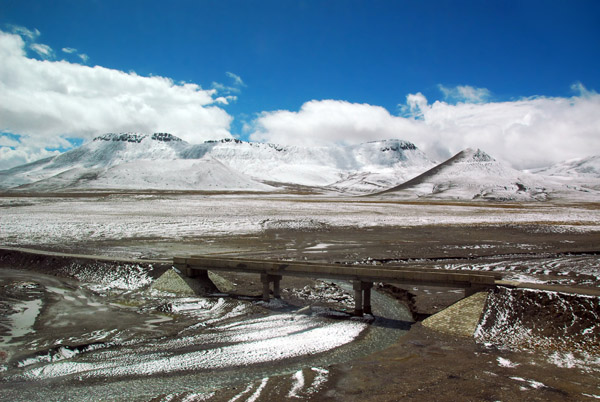
 The railroad crossing a dirt road, northern Tibet |
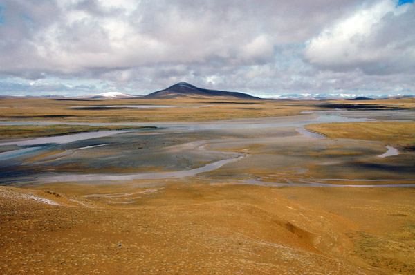
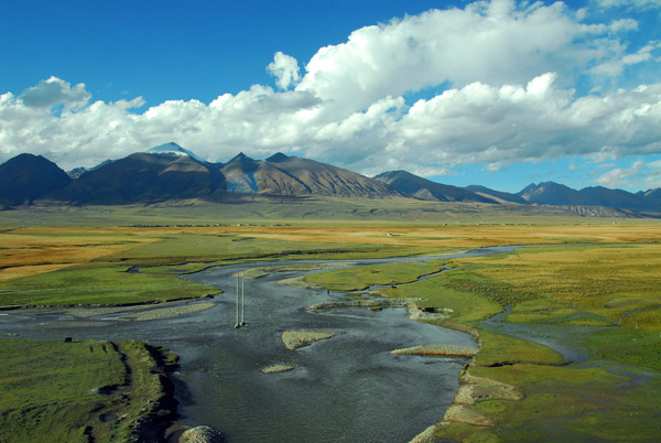
 Crossing the Zhajiazangbu River (Tsagya Tsangpo, Za'gya Zangbo) |
 Zhajiazangbu River (Tsagya Tsangpo, Za'gya Zangbo) |
 Zhajiazangbu River (Tsagya Tsangpo, Za'gya Zangbo) |
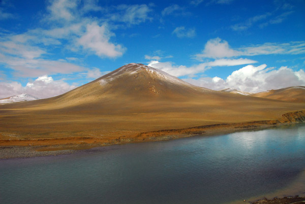 Zhajiazangbu River (Tsagya Tsangpo, Za'gya Zangbo) |
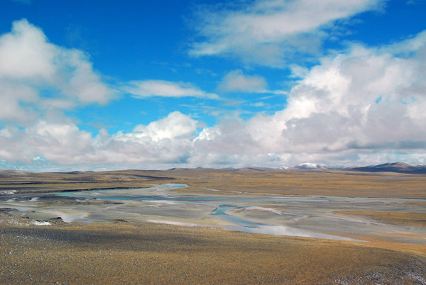
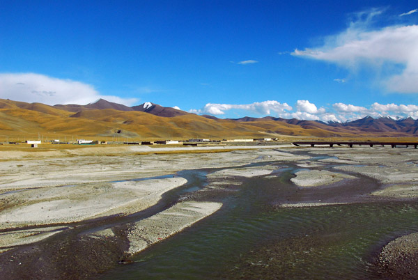
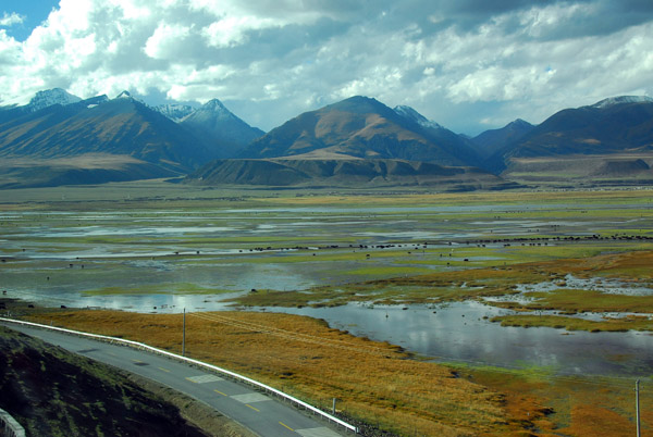
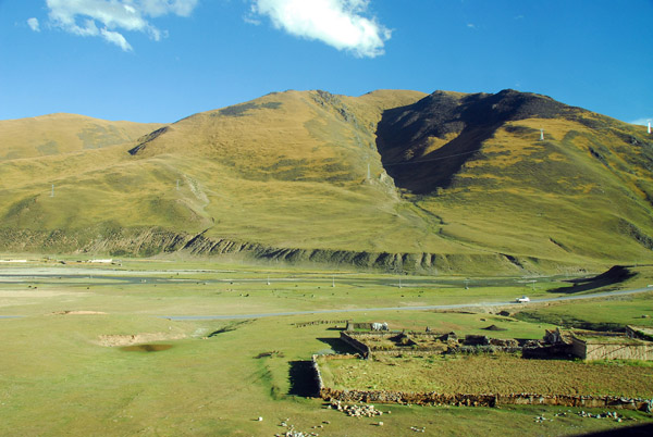
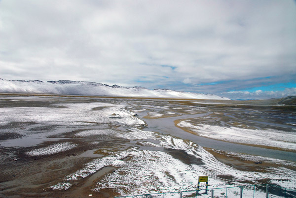 Shallow streams and rivers criss-crossing a desolate snowy plain (N32.512/E91.532) |
 A narrow dirt road following the railroad tracks |
 Passing Tuoju (U-nyok Chu) Station - km 1499 |
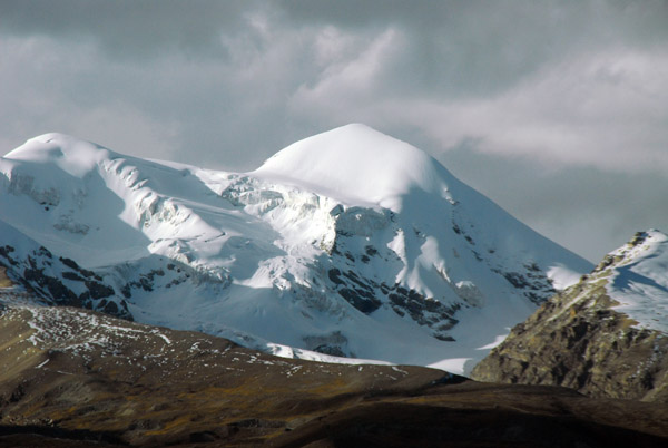
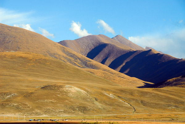
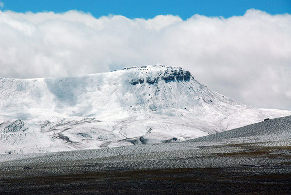 Mountain at N32.381/E91.596, 15 km north of Amdo, but 25 km following the tracks |
 Bend in the tracks, Qinghai-Tibet Railroad |
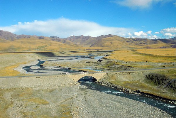
 Road bridge between Tuoju and Amdo |
 Mountain at N32.381/E91.596 |
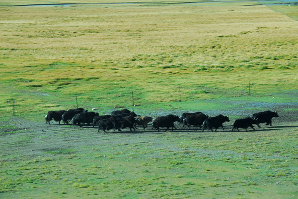
 Occasionally I spotted wildlife but they were difficult to photograph |
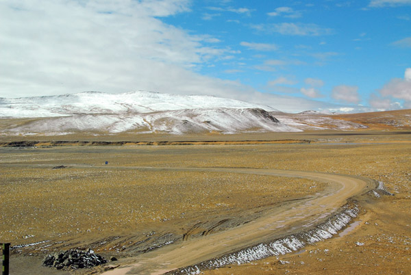
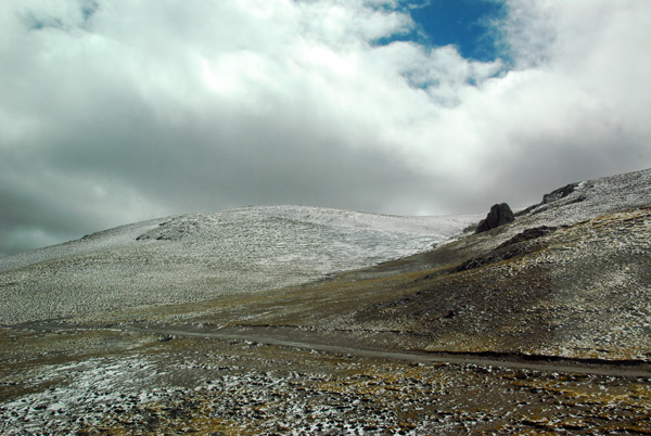
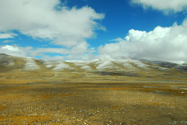
 A dusting of snow on the hillside |
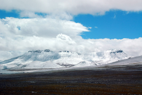
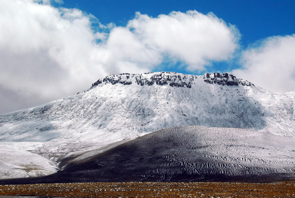
 Snow covered mountain along the railroad |
 Tibetan plateau between Tuoju and Amdo |
 Dirt road and drainage gutter beside the tracks |
 Looking back at the big bend south of Tuoju Station |
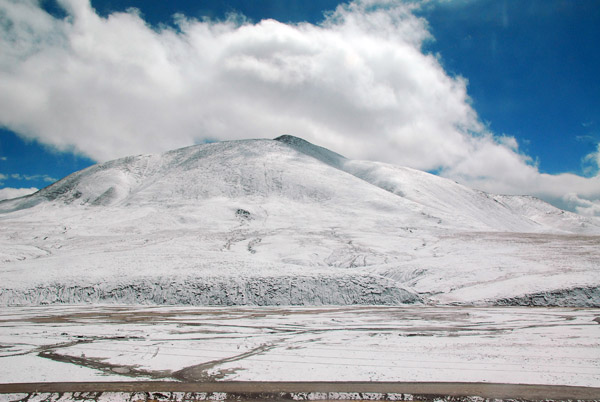 Snow cover increases as the train climbs over higher terrain |
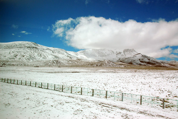 Fences line the railroad tracks for much of the way |
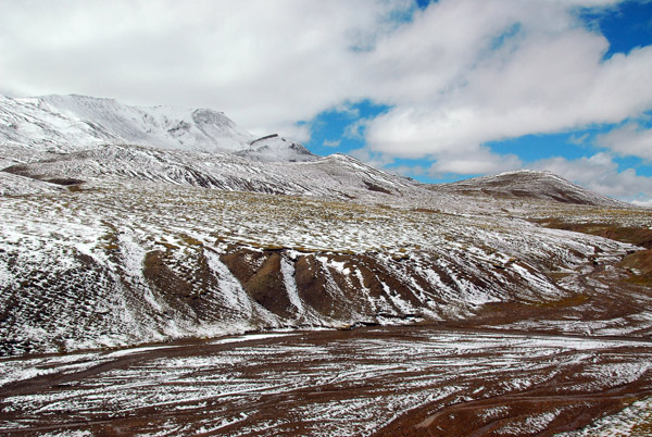 Rugged terrain 10 km outside Amdo |
 Nearing Amdo from the north |
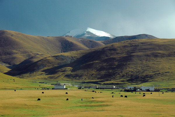
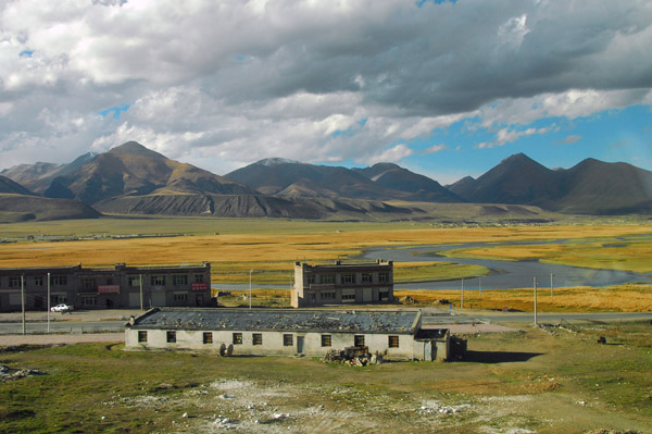
 Amdo sits on a plain surrounded by mountains |
 Amdo sits on a plain surrounded by mountains |
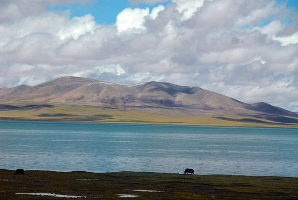
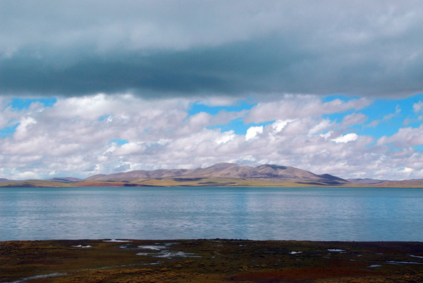 Cuona Lake (4595m - N32.02/E91.51) |
 Cuo Na Hu (Cnona Lake) Qinghai-Tibet Railroad |
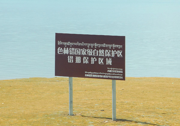 Sign in Chinese and Tibetan at Cuo Na Hu Station, Qinghai-Tibet Railroad |
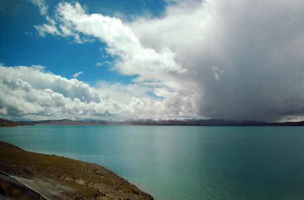 Dark cloud building beyond Cuonaho Lake, Tibet |
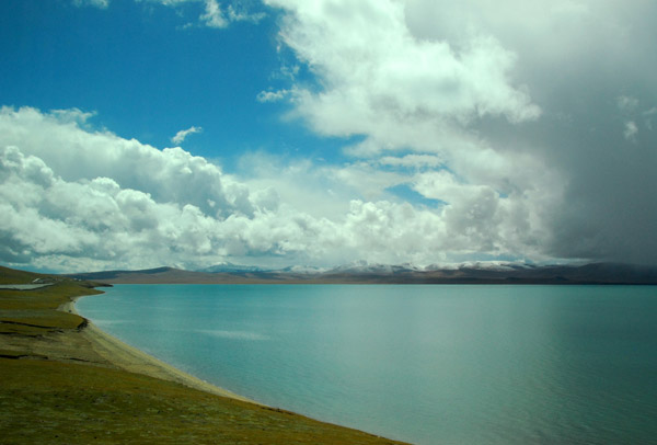 Cuonahu Lake, Tibet - km 1553 on the Qinghai-Tibet Railroad |
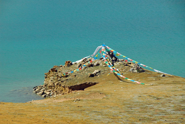 Prayer flags on the shore of Cuonahu Lake, Tibet |
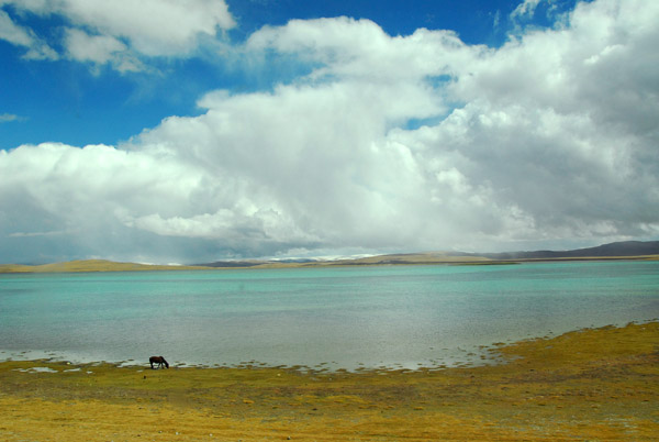 Cuonaho Lake, Tibet |
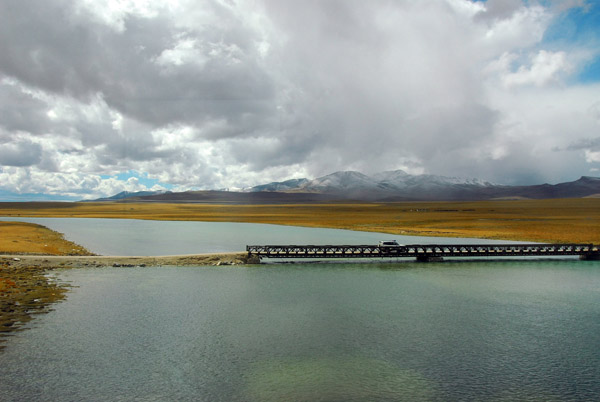 Tibet Highway crossing a river (N31.805/E91.546) near Liantonghe Station |
 Tributary of the Nu Jiang River which becomes the Salween River in Burma |
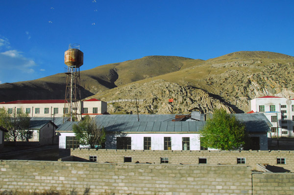
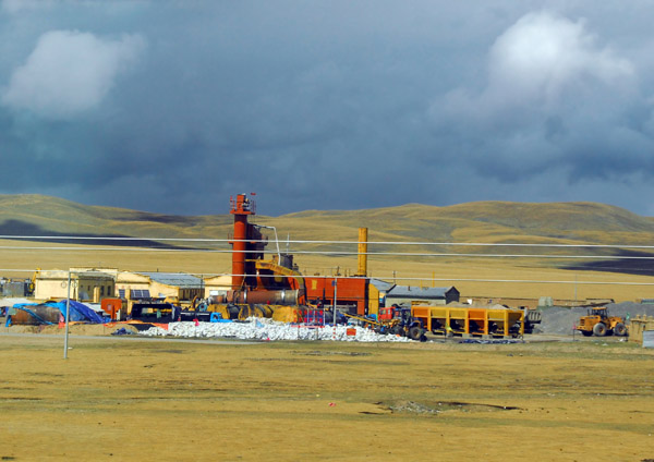 Industrial plant near Gang Xiu station |
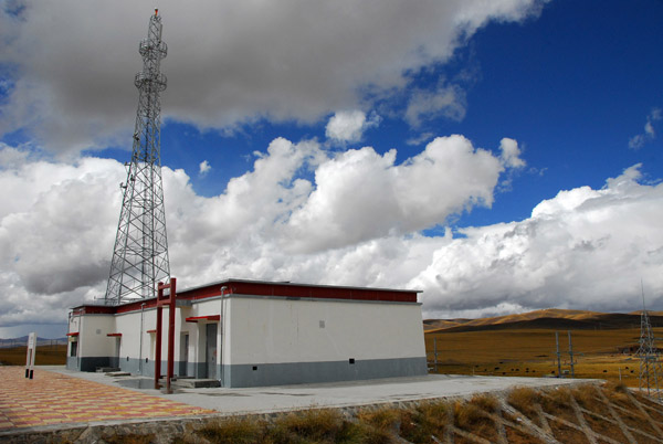 Communications towers at each of the stations provides near continuous mobile phone coverage |
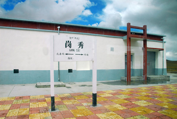 Gang Xiu Station, Qinghai-Tibet Railroad km 1632 |
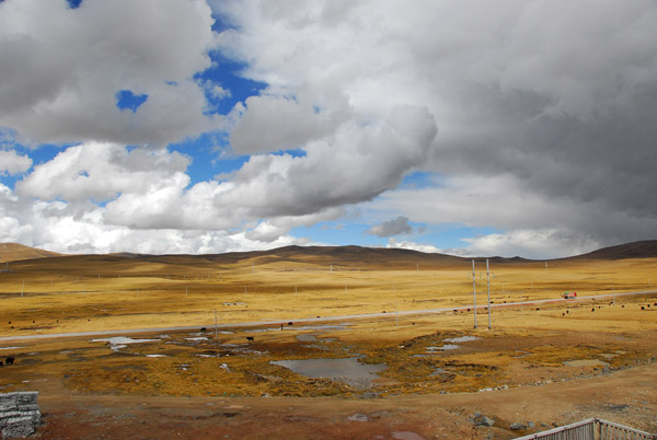 Tibetan Plateau between Gangxiu and Nagchu |
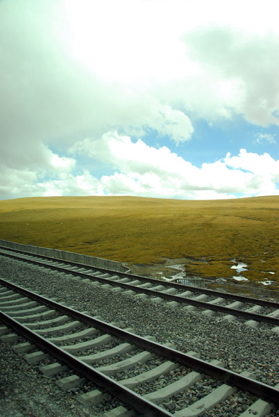 Qinghai Tibet Railroad - tracks |
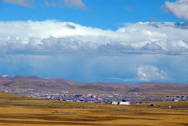
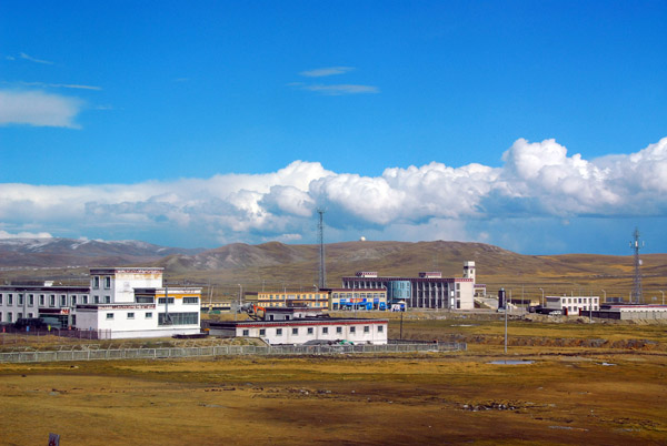
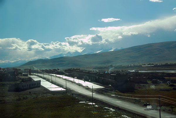
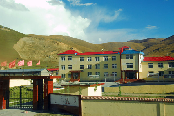
 Outskirts of Nagchu, Tibet |
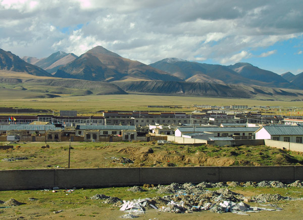
 The first large town in Tibet, Nagchu, in the distance |
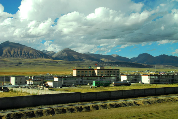
 Nagchu, Tibet |
 Arriving at Nagchu, Tibet |
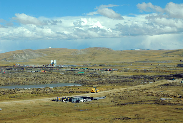
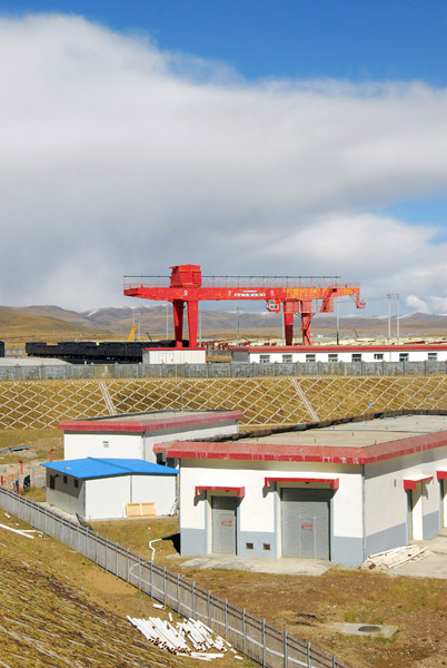
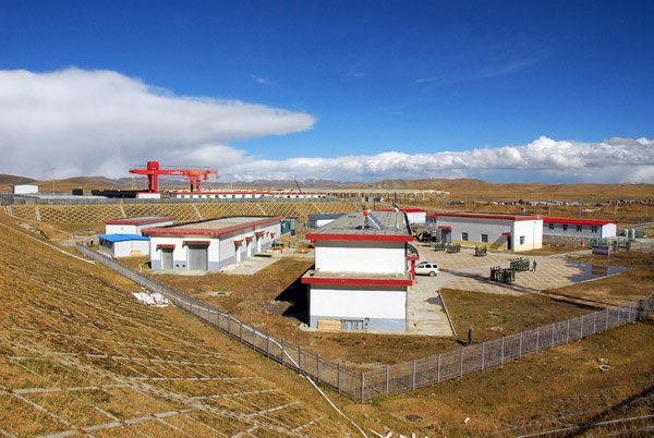
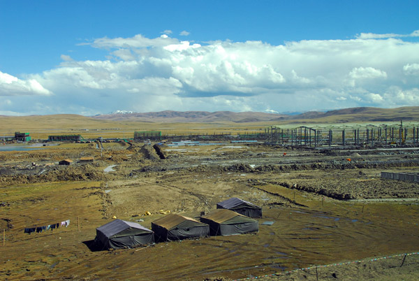 Construction on the outskirts of Nagchu, Tibet |
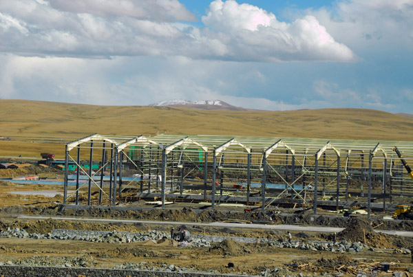 Warehouses under construction, Nagchu, Tibet |
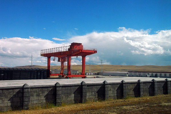 Freight terminal at Nagchu, Qinghai-Tibet Railroad |
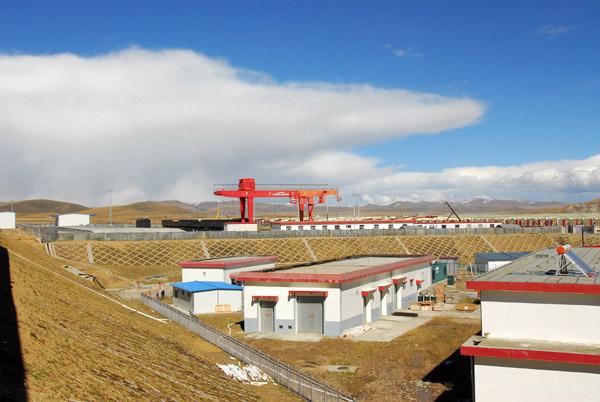 Freight terminal at Nagchu, Qinghai-Tibet Railroad |
 Nagchu Tibet |
 Nagchu, Tibet |
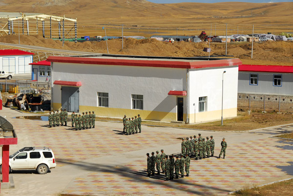 Chinese soldiers in formation, Nagchu, Tibet |
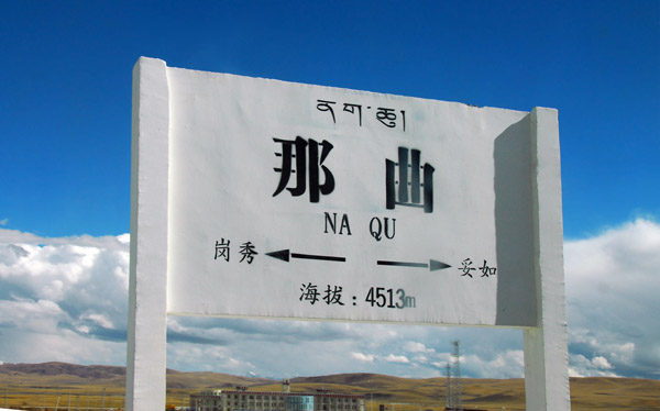 Na Qu Station (4513m) km 1650 - the highest station on the Qinghai-Tibet Railroad |
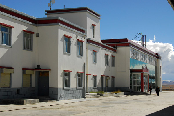 Na Qu Station, Nagchu, Tibet |
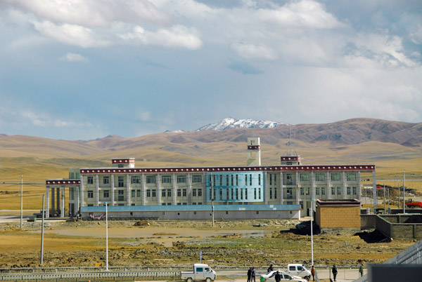 Imposing building in Nagchu, Tibet |
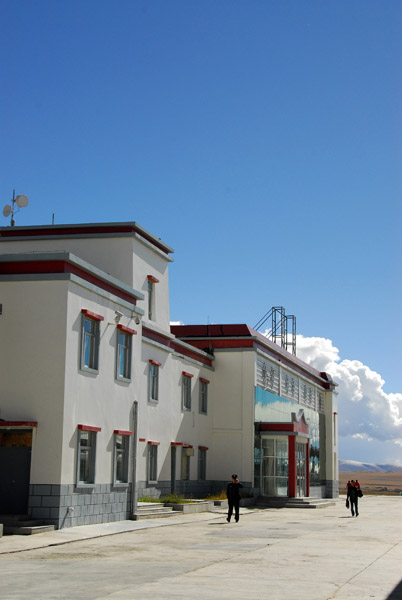 Nagchu Station |
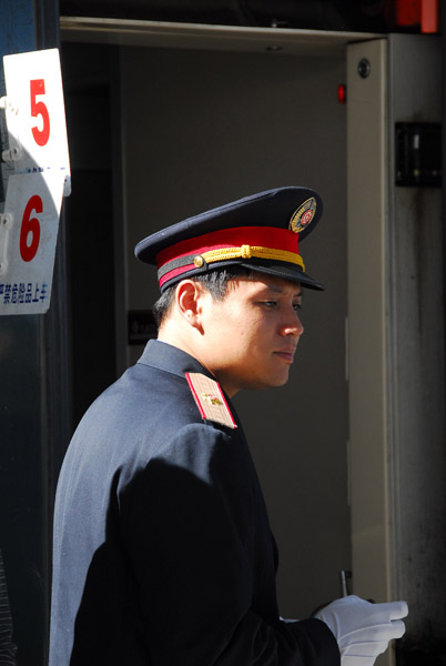 Qinghai-Tibet Railroad conductor |
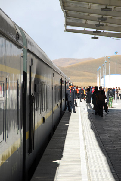 Train at the platform at Na Qu Station |
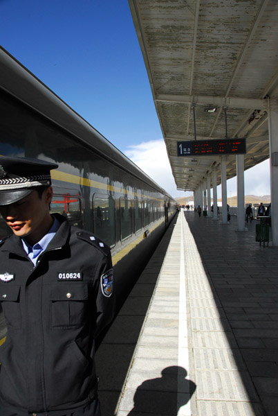 Chinese officer on the platform of Na Qu Station |
 Nagchu, Tibet |
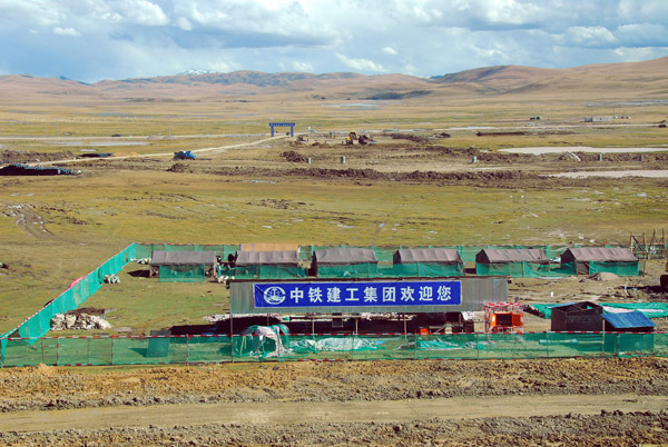 Construction yard outside Nagchu, Tibet |
 Gu Lu, Tibet km 1735, Qinghai-Tibet Railroad (N30.829/E91.622) |
 Tributaries of the Lhasa River which will eventually flow to the Brahmaputra |
 Crossing another small river between Gu Lu and Damshung, Tibet |
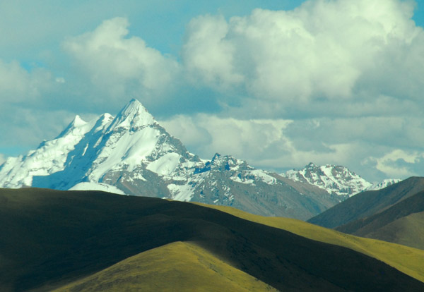 "Mount Hawk", Nyainqentanglha Range, Tibet |
 Nyainqentanglha means "God of the Grassland" in Tibetan |
 Vast plain in front of the Nyainqentanglha Range of mountains |
 "Mount Hawk", Nyainqentanglha Range, Tibet |
 Qinghai-Tibet Highway along the Nyainqentanglha Range, Tibet |
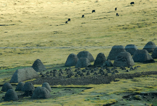 Odd earthen mounds, perhaps a cemetary? |
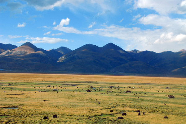
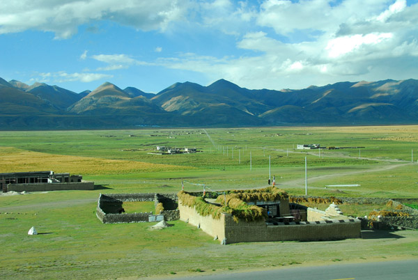
 As the train heads farther south, the land gets greener and more populated |
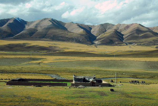 Tibetan house with a grazing yak |
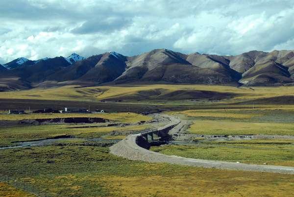 Qinghai-Tibet Highway, this section still unpaved |
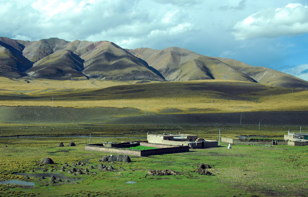
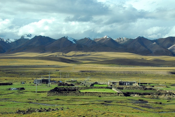
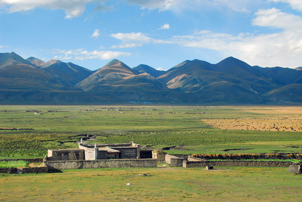
 Each traditional Tibetan house in this area has its own enclosure |
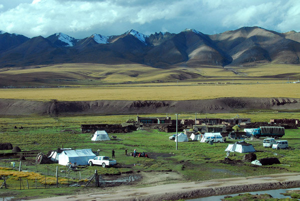 Tented camp along the railroad |
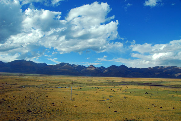
 Nyainqentanglha Range and grassland, Tibet |
 Nyainqentanglha Range and grassland, Tibet |
 Tibetan house with grazing livestock on the surrounding grasslands |
 The rivers and streams of this valley will eventually end up in the Brahmaputra River |
 N30.646/E91.537 |
 Nyainqentanglha Range and grassland, Tibet |
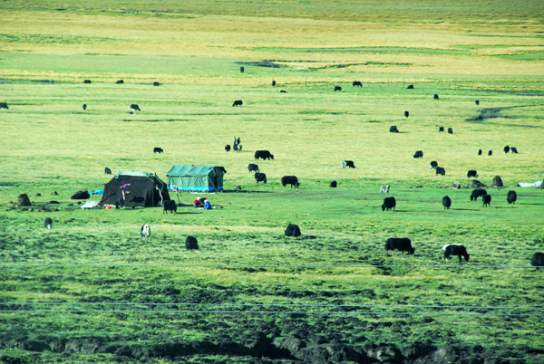 Tibetan nomad tents with grazing yaks |
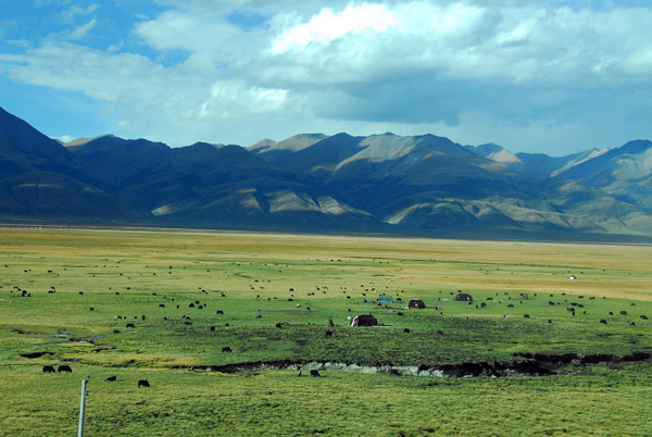 Vast grazing lands at the base of the Nyainqentanglha Range |
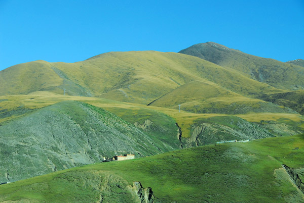
 Green grass covered hills |
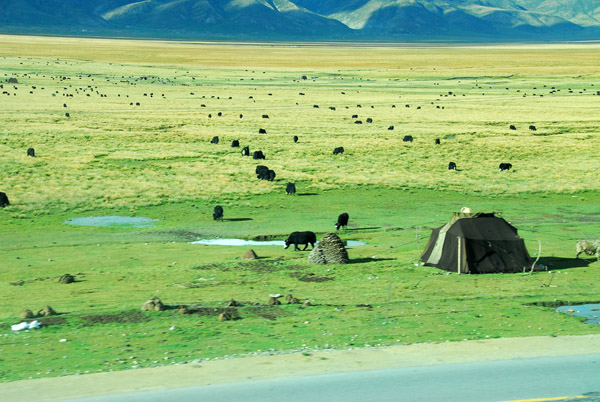 Tibetan nomad tent along the Qinghai-Tibet Railroad |
 Nyainqentanglha Range and grassland, Tibet |
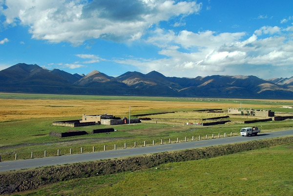
 Valley between Gulog and Dangxiong, Tibet |
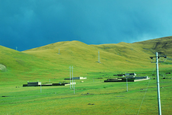
 Sturdy rural Tibetan dwelling on the edge of the vast plain |
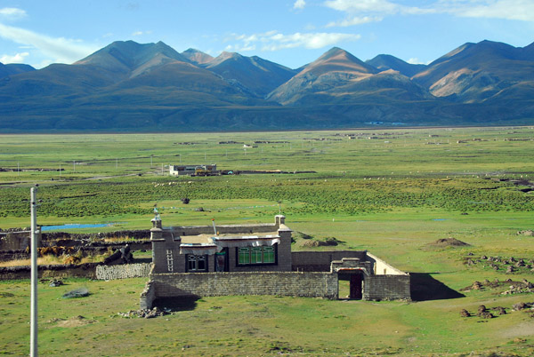 Tibetan house with enclosure outside Dangxiong |
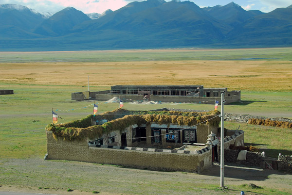 Tibetan house with enclosure outside Dangxiong |
 Tibetan house with enclosure outside Dangxiong |
 Qinghai-Tibet Highway, paved in this area |
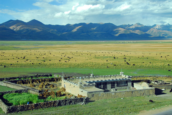 Tibetan house with the Nyainqentanglha Range and its fertile grasslands |
 Herd of yak on the grasslands along the railroad |
 Green marking the route of a stream across the vast plain between Wumatang and Dangxiong, Tibet |
 Nyainqentanglha - "God of the Grasslands" |
 Wetlands outside Dangxiong with the Nyainqentanglha Range, Tibet |
 The paved Qinghai-Tibet Highway paralleling the railroad |
 The paved Qinghai-Tibet Highway entering Dangxiong |
 Entering Dangxiong, Tibet |
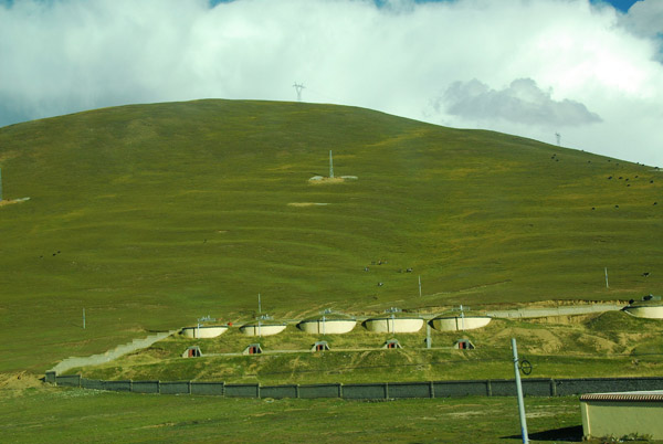 Storage tanks built into the mountainside, Dangxiong (N30.479/E91.116) |
 Dangxiong (Damshung) Tibet |
 Dangxiong (Damshung, Damxung) 4361m (14,310ft) |
 Dangxiong (Damshung) km 1808 Qinghai-Tibet Railroad |
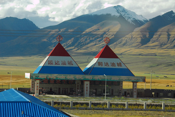 Petro station, Dangxiong (N30.468/E91.088) |
 Around 100 miles outside of Lhasa |
 Outskirts of Dangxiong, Tibet |
 Tributary of the Lhasa River |
 Tributary of the Lhasa River south of Dangxiong, Tibet, with the Nyainqentanglha Range |
 This valley is around 100 km long, stretching from near Gu Lu well past Dangxiong |
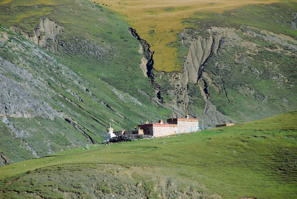 The first Tibetan monastery I've spotted (N30.443/E91.041) |
 Hillside monastery above Dangxiong (Damshung) |
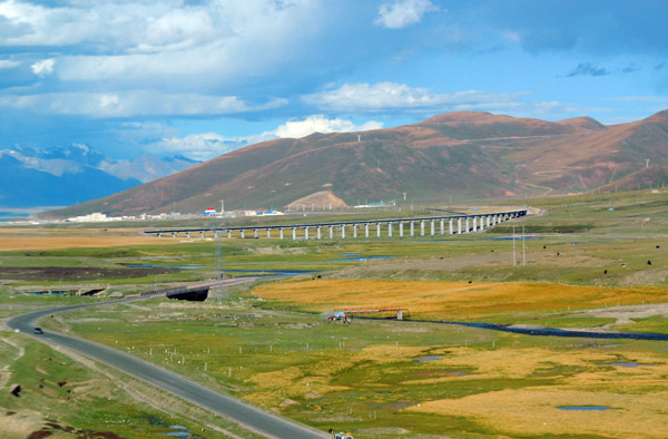 Railroad viaduct outside Dangxiong (N30.455/E91.060) Tibet |
 Mountains southwest of Dangxiong, Tibet |
 Tributary of the Lhasa River |
 Village lying in a valley south of the railroad at N30.422/E91.025 |
 Between Dangxiong and Daqiongguo |
 Tibetan house between the railroad and the highway |
 Livestock grazing the fertile grasslands |
 River passing through the flat grasslands |
 River alongside the railroad tracks |
 Nyainqentanghla Shan range |
 Road along the Nyainqentanghla Shan |
 Snowy mountains in the Nyainqentanghla Shan range |
 Clouds rising about the mountains |
 Pastureland at the base of the Nyainqentanghla Shan range |
 Stone livestock enclosure on the valley floor |
 Nyainqentanghla Shan range |
 Clouds on the snow covered peak |
 Nyainqentanghla Shan mountain range northwest of Lhasa |
 Tibetan nomad tent |
 Mount Nyainqentanghla (7162m) |
 Mount Nyainqentanghla (7162m) |
 Mount Nyainqentanghla (7162m) |
 Leaving the grassland plain behind us for the final push to Lhasa |
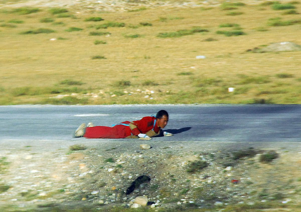 Tibetan pilgrim prostrating himself along the pilgrim route to Lhasa |
 The mountains close in from both sides of the railroad now |
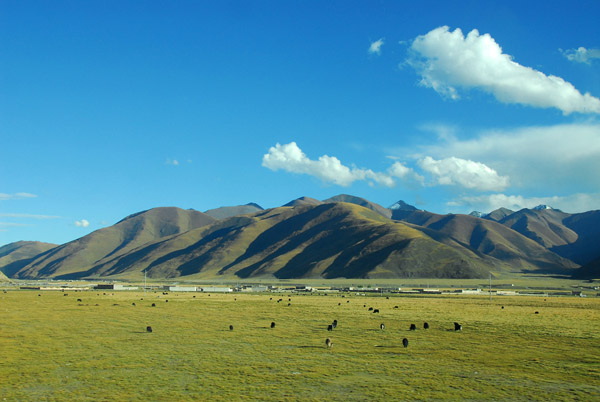
 Village a short distance outside Yang Ba Jing (Yangpachen) Tibet |
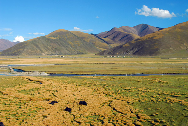
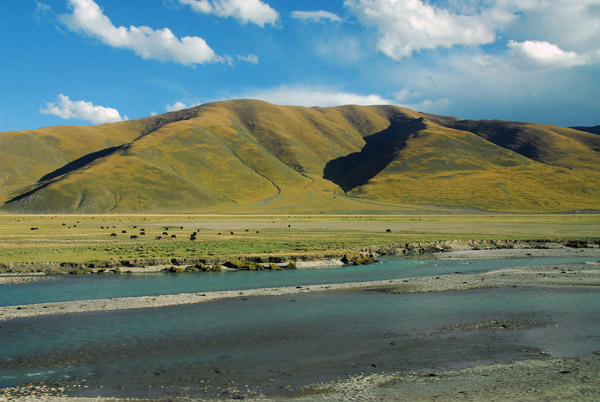
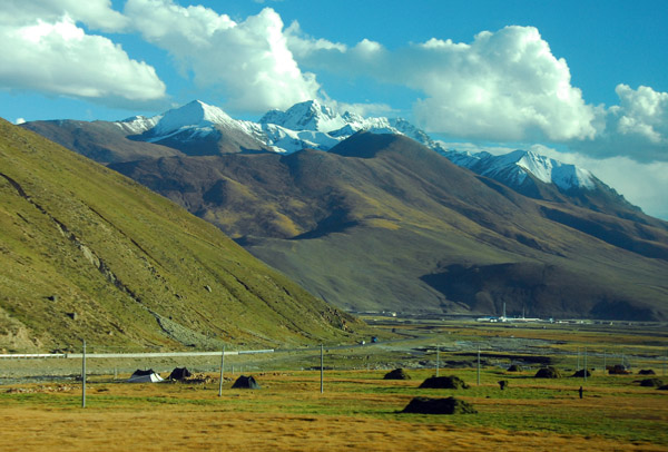 There are large mountains on the other side of the river as well |
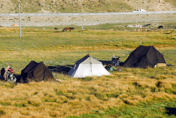 Tibetan tents outside Yangpachen |
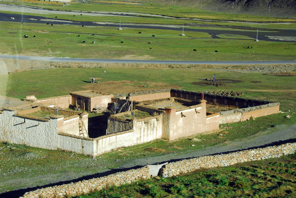
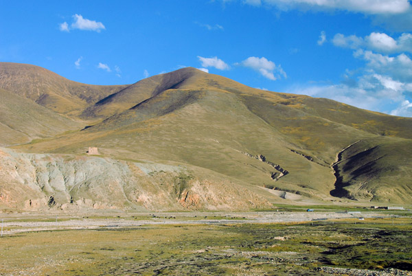
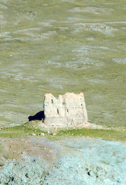 The ruins of a mudbrick fort outside Yangpachen |
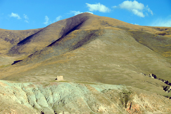 The tower looks small against the mountain |
 Qinghai-Tibet Railroad, 24 hours since departing Xining |
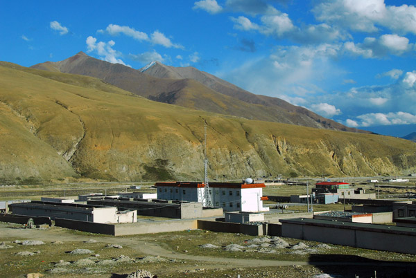 Yang Ba Jing (Yangpachen) looking southeast towards Lhasa, less than an hour away |
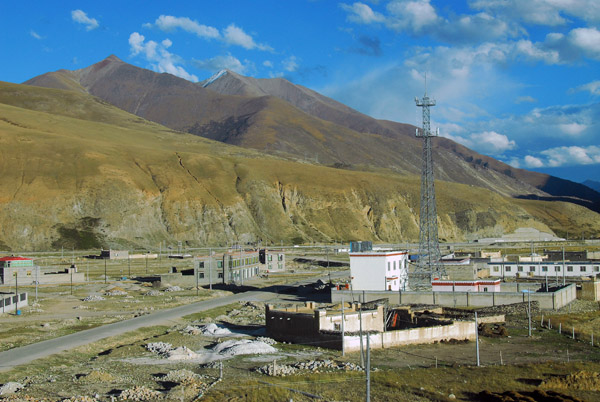 Yang Ba Jing (Yangpachen, Yangbajain) km 1881 on the Qinghai-Tibet Railroad |
 Mount Nyainqentanglha rising 7162m to the north of Yang Ba Jing |
 Yang Ba Jing (Yangpachen, Yangbajain) N30.086/E90.549 |
 The sun is starting to set casting shadows against the mountains |
 Crossing the Lhasa River railway bridge |
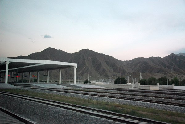 Pulling into Lhasa Station 25 hours after departing Xining. Long, but worth while |
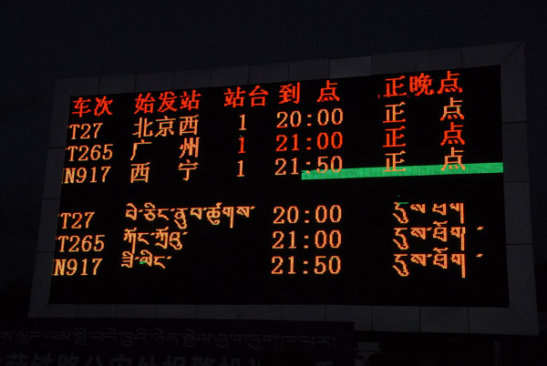 Trains serve Lhasa from Beijing West, Guangzhou, and Xian |
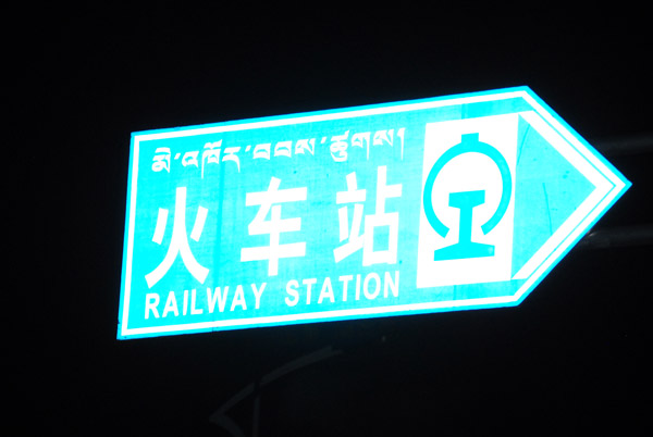
 Outside Lhasa Station looking for the guide |
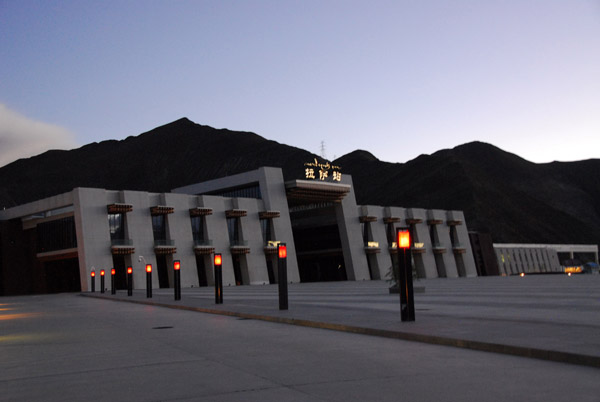
 Lhasa Railway Station |
| comment | share |