


|
|
|
|
|
|
| Brian McMorrow | profile | all galleries >> Asia >> Burma / Myanmar >> Ancient Cities around Mandalay >> Rural Mandalay | tree view | thumbnails | slideshow |
 Bullock Cart - a sure sign your are in rural Myanmar |
 A ruined stupa along the road from Mandalay Airport to Inwa via Tada-U |
 Since we hadn't yet seen Bagan, these are amazing to us |
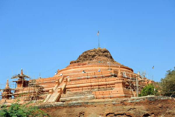
 Ruins of an ancient zedi (stupa) N21 46.25/E095 58.52) |
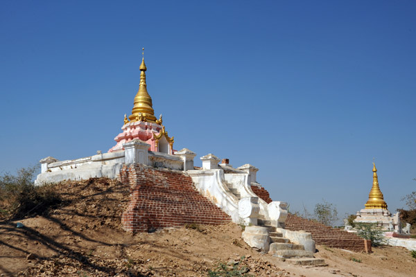
 It seems that the ancient stupa ruins are being restored here |
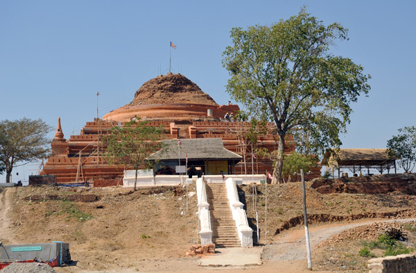
 Stupa south of Tada-U, (S21 46.38/E095 58.64) |
 The road from Mandalay Airport to the ancient cities of Inwa and Sagaing (N21 46.63/E095 58.71) |
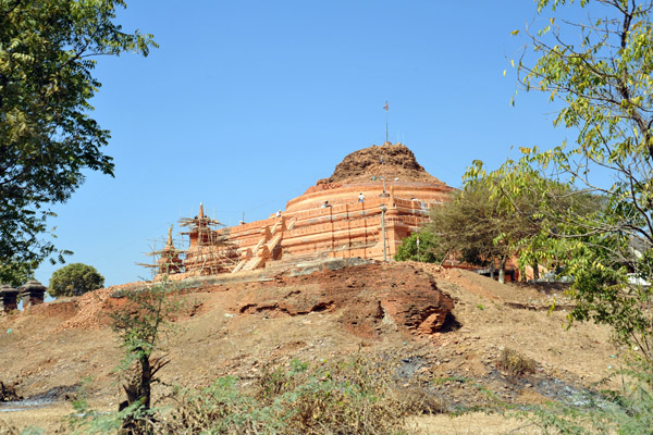
 A large stupa south of Tada-U (N21 47.15/E095 58.71) |
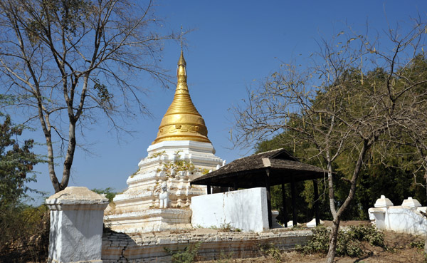
 Restored stupa (zedi) between Mandalay Airport and Tada-U |
 These are impressive if you haven't been to Bagan, an advantage of coming to Mandalay first |
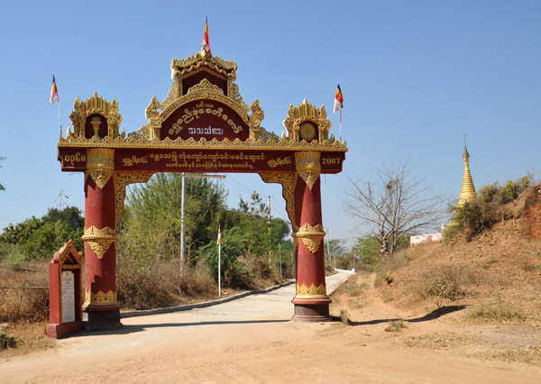 Gateway to a monastery south of Tada-U (N21 47.22/E095 58.76) |
 The landscape around Tada-U near Mandalay International Airport is scattered with old temples, many of which have been restored |
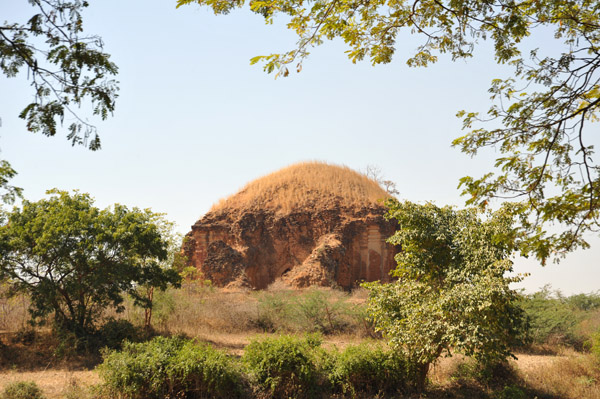 ...many of the ancient stupas in rural Mandalay have not been touched in centuries (N21 47.39/E095 58.69) |
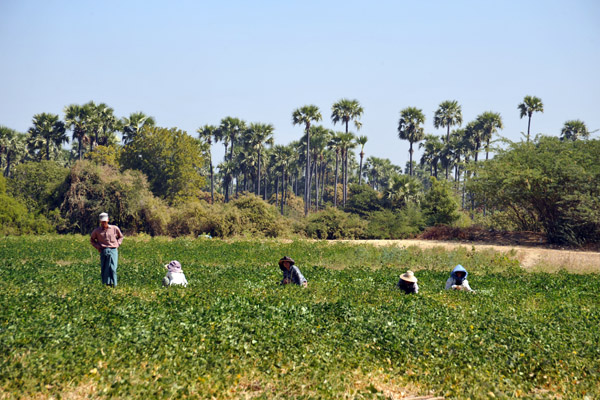 Farmers in fields outside Tada-U |
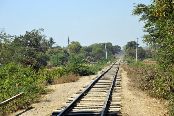 Railroad passing south of Tada-U, Myanmar |
 Hutof woven palm, rural Mandalay |
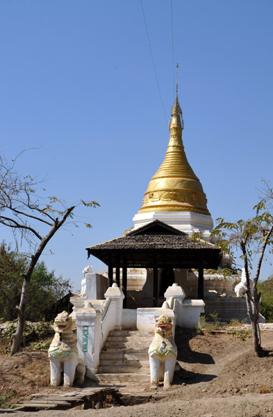
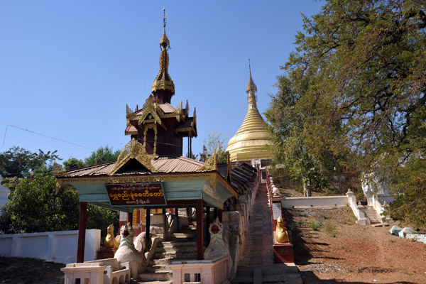
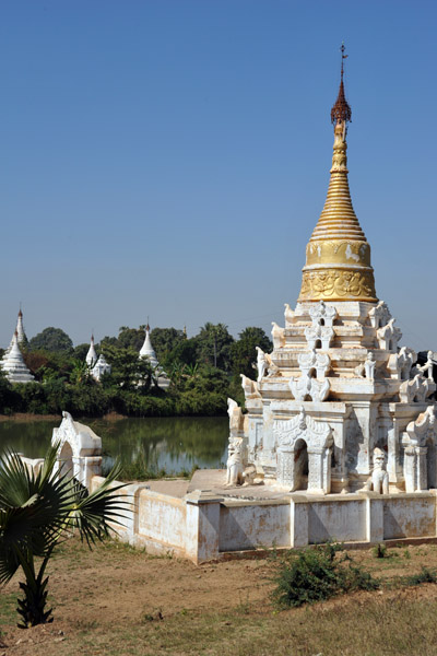
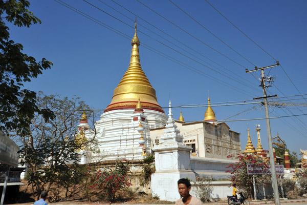 Restored pagoda - Tada-U, Myanmar |
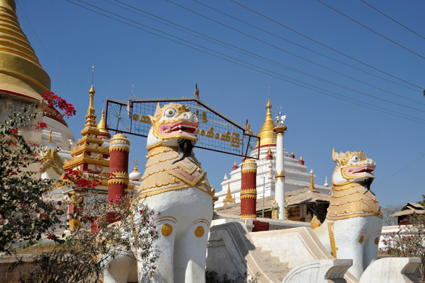 Guardian lions at the restored pagoda of Tada-U |
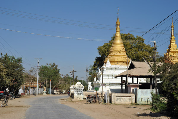
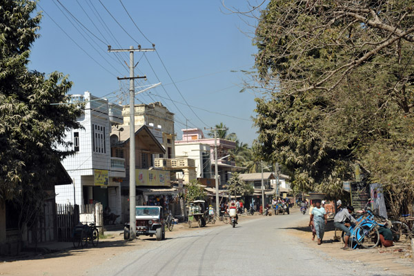 Tada-U, a town 12km north of Mandalay International Airport |
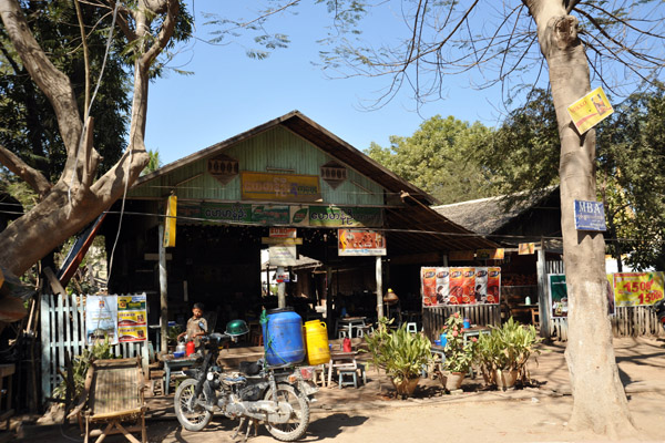 Roadside shop outside Tada-U |
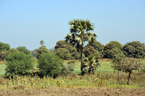 Dry season in Mandalay Division (province), January 2010 |
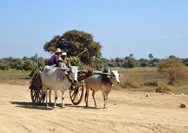 Burmese bullock cart near Tada-U, Mandalay Division |
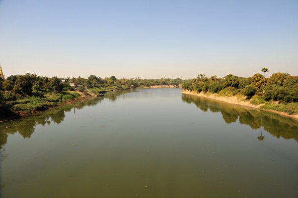 Bridge over the Myitnge River between Tada-U and Yelungyaw |
 Crossing the Myitnge River 4 km south of its confluence with the Irrawaddy at Sagaing |
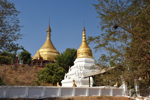
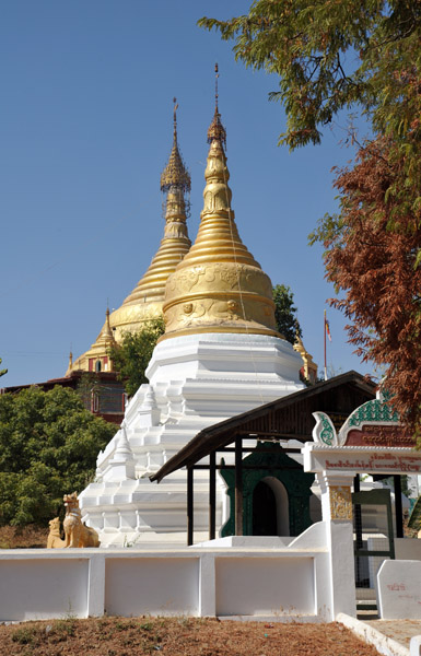
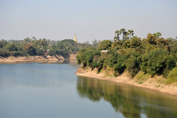
 Pagoda landscape at the north end of the Tada-U Bridge over the Myitnge River |
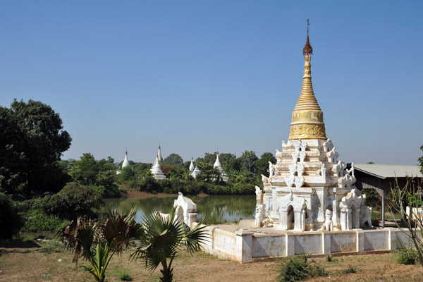
 Tada-U Bridge stupa |
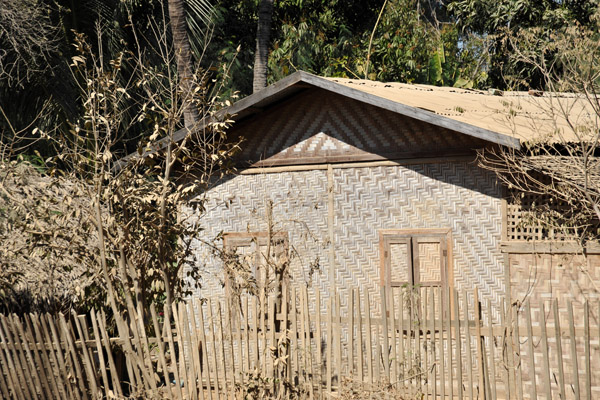
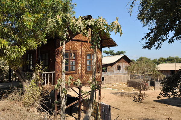 A traditional Burmese house of woven palm (dani in Burmese, nipa in Tagalog) |
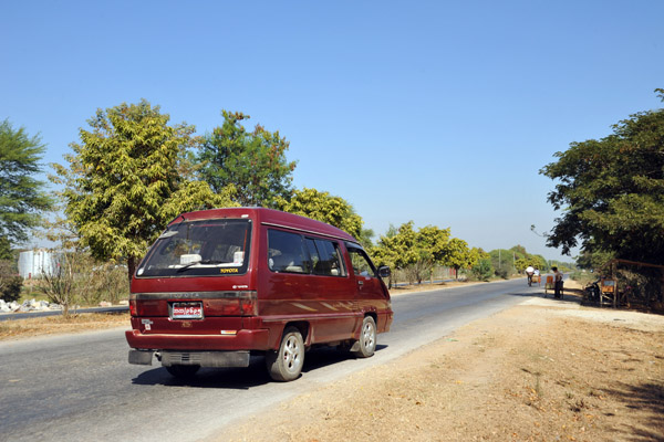 Our vehicle in Mandalay |
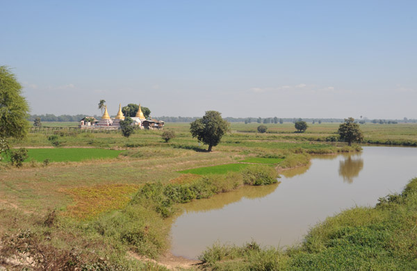 Flood plain not far from the eastern end of the Inwa Bridge, Myanmar |
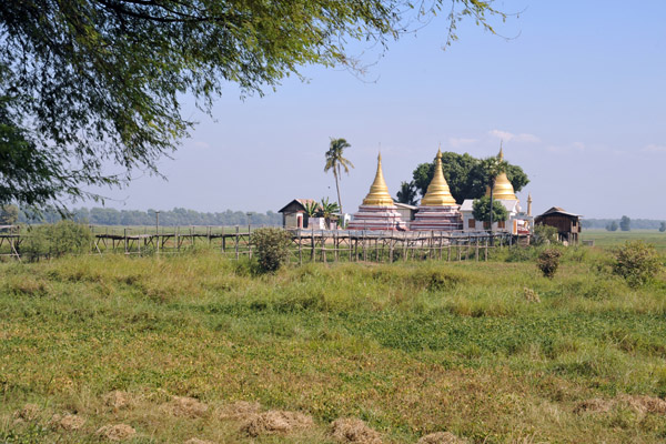
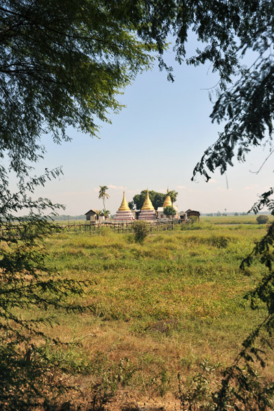
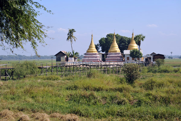
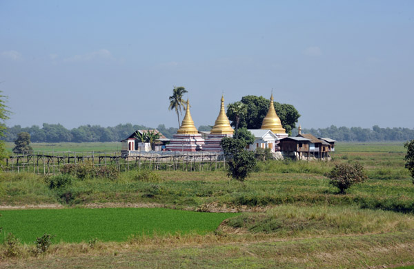 In the wet season, that temple is an island with all the surrounded area flooded |
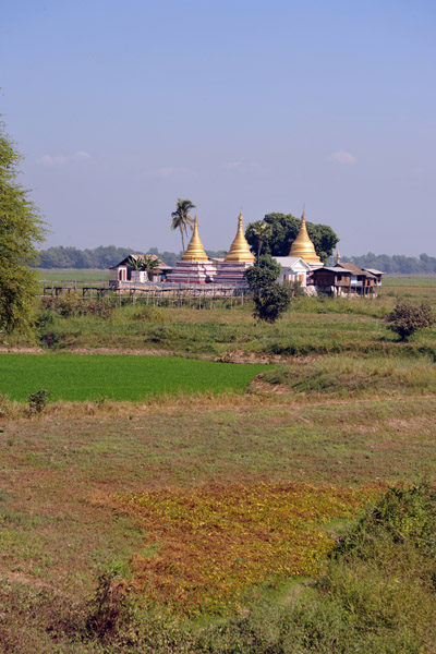 Three-Stupa pagoda near the Inwa Bridge |
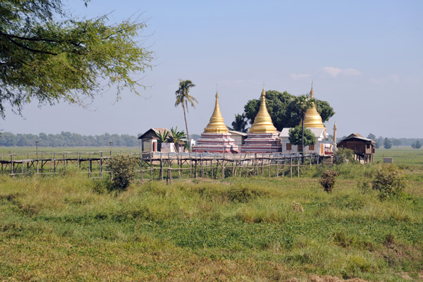 The Jul 2010 image on Google Earth shows this temple as an island in the wet season - N21 51.55/E095 00.03 |
 We've just arrived in Mandalay from Yangon and are totally impressed |
 Rural temple near Inwa, Mandalay Division |
 ...the guide had never been out there... |
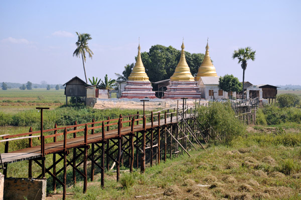 Bridge needed in the wet season when this becomes an island |
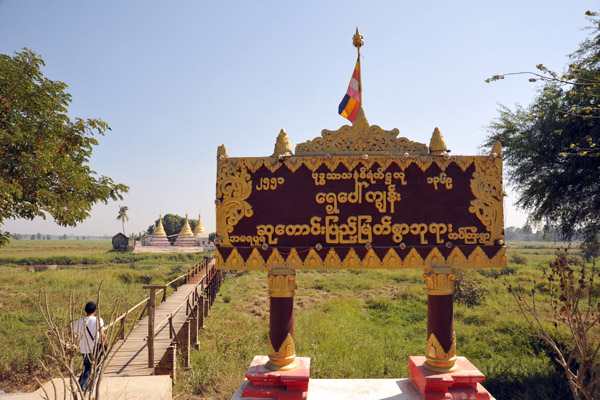 Sign dated 2551 in the Buddhist calendar (2008) ... Anyone able to read the name of the temple off that? |
 235367447.jpg |
| comment | share |