


|
|
|
|
|
|
| Brian McMorrow | profile | all galleries >> Asia >> Tajikistan >> Pamir Highway - Kyrgyz Border to Murghab | tree view | thumbnails | slideshow |
 Kyzyl-Art Pass (4290m/14,042 ft) start of the Pamir Highway on the Kyrgyzstan-Tajikistan Border |
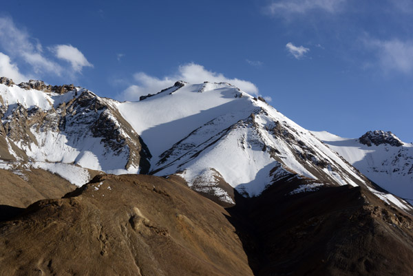
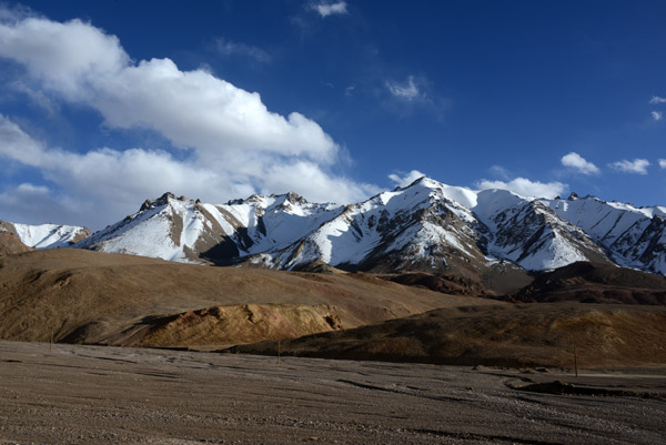
 Snow covered mountains of the Trans-Alay Range rising to 21,000 ft west of the Kyzyl-Art Pass |
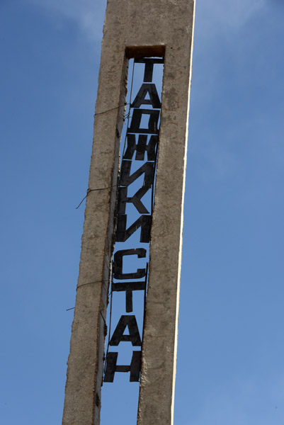
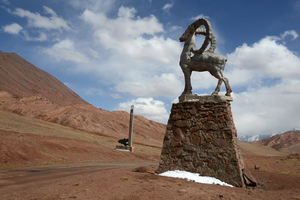
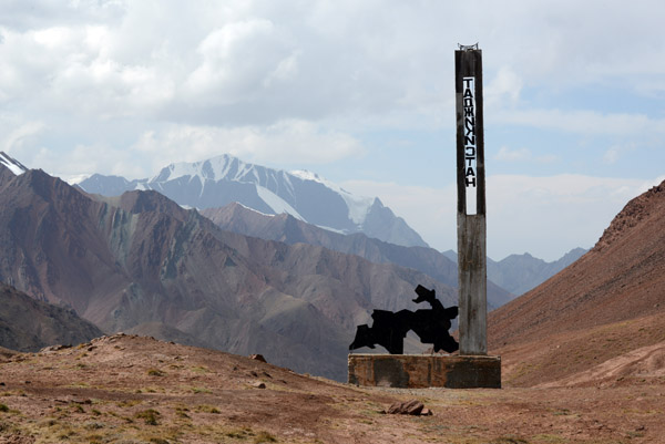
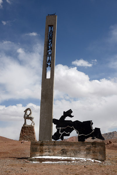 Monument on the Kyzyl-Art Pass |
 Kyzyl-Art Pass, Tajikistan |
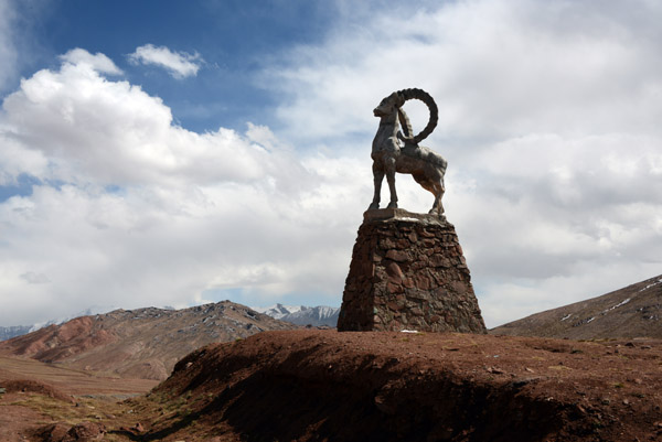
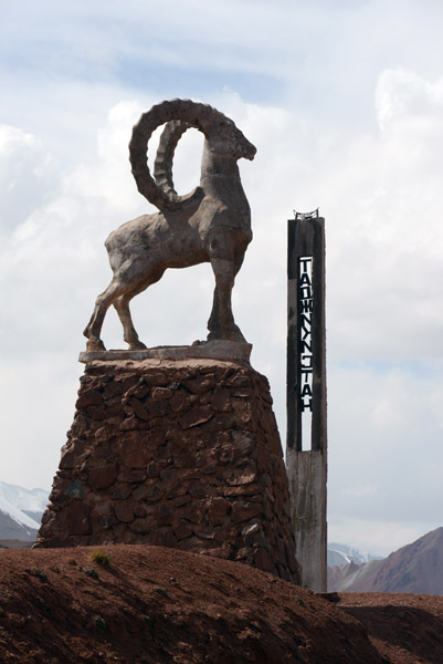
 Marco Polo sheep on a pedestal at the Kyrgyz-Tajik border |
 Kyzyl-Art Pass, the start of the Pamir Highway on the border between Kyrgyzstan and Tajikistan |
 Kyzyl-Art Pass, Tajikistan |
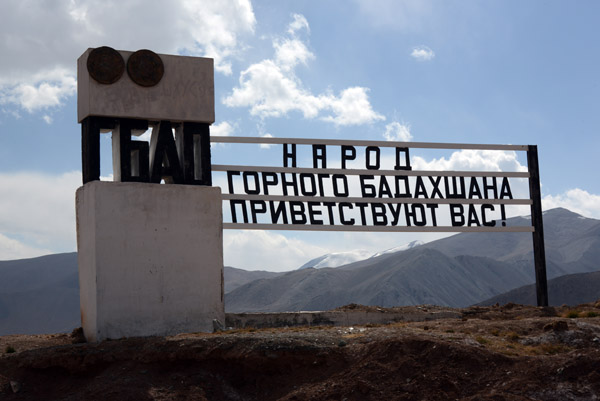 Welcome to GBAO, the Gorno-Badakhshan Autonomous Oblast |
 Entry into the GBAO requires an additional permit in addition to the Tajikistan Visa |
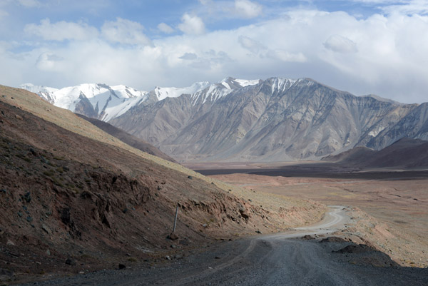
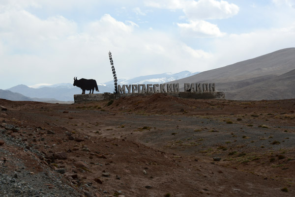 Entering the Murgab District, GBAO |
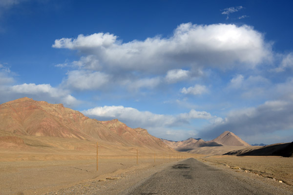
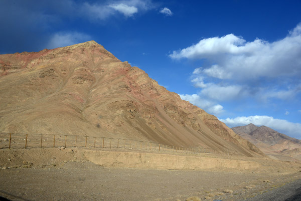
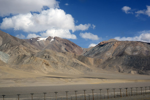 A fence keeps travelers from straying into the military area along the Chinese border 12km away |
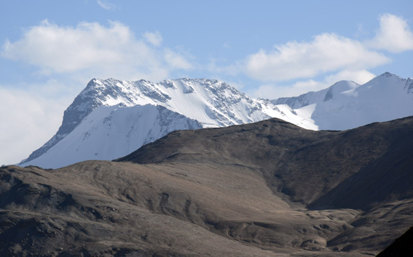
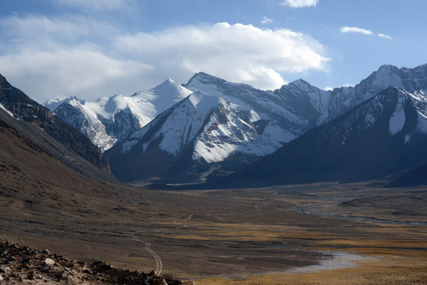
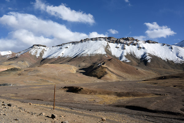
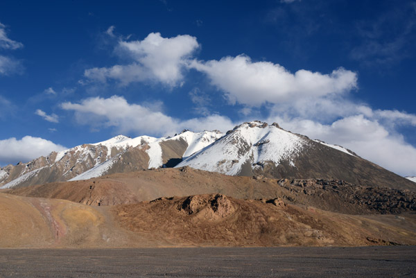
 Trans-Alay Range, Tajikistan |
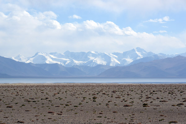 Karakul Lake, 12,800ft - GBAO |
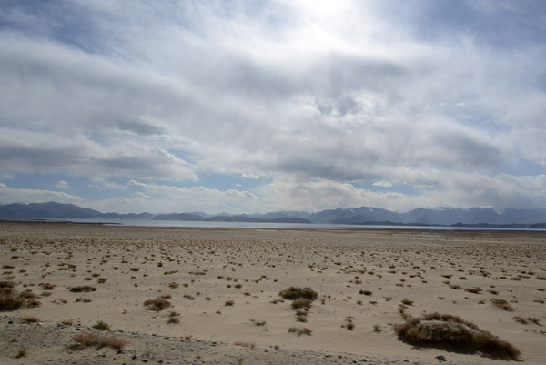 High plains north of Karakul Lake, GBAO |
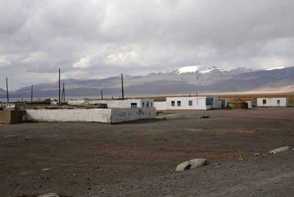 Village of Karakul, 3914m |
 Much of the village of Karakul is rubble |
 Neglect or the 1994-1997 Civil War, I don't now |
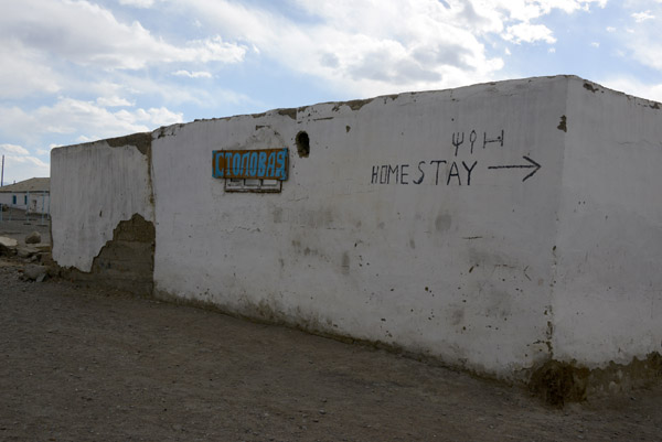 If you get stuck, there are a few places to stay in Karakul |
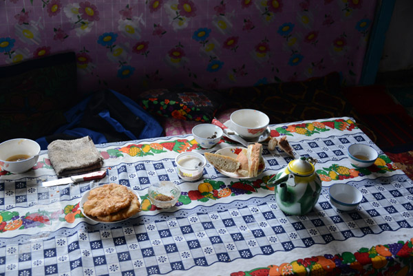 Late lunch in a Karakul guesthouse |
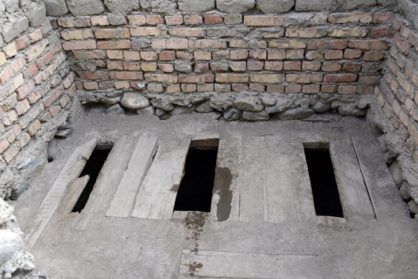 A 3-holer, Karakul |
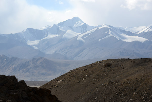
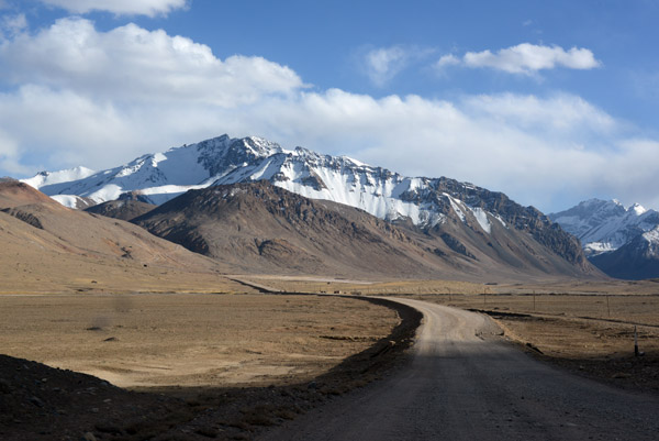
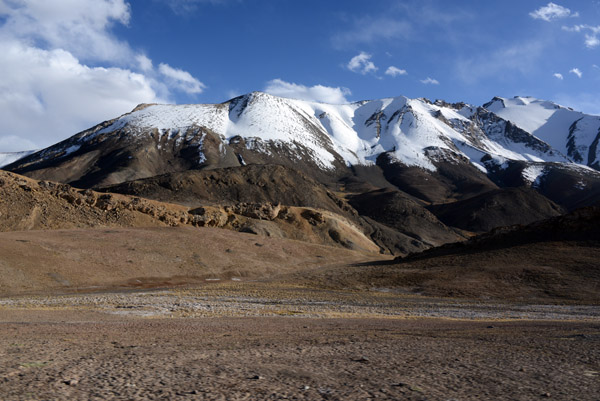
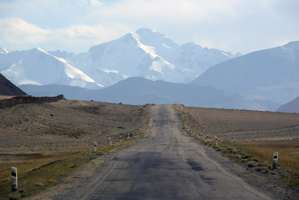 Pamir Highway headed towards Pik Severnyi Muzkol (6132m/20,118ft) |
 It's a decent road...thank god since the driver had Get-to-Murgab-itis |
 Tajikistan Sep14 0048.jpg |
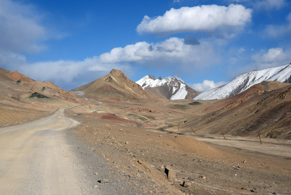
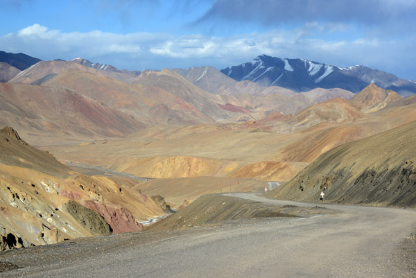
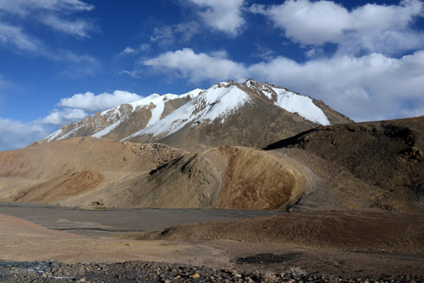
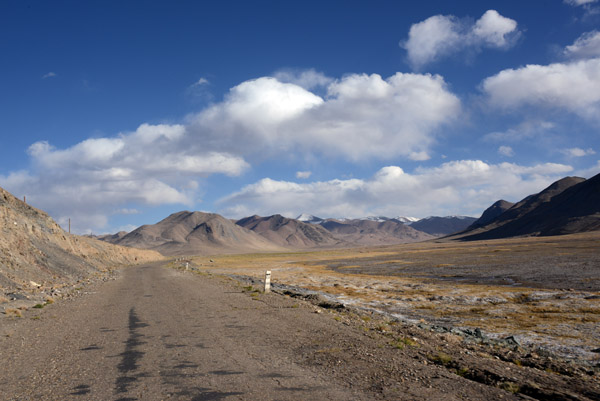 The Pamir Highway M41 enters a high-altitude Tibetan-style landscape |
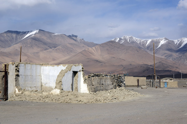
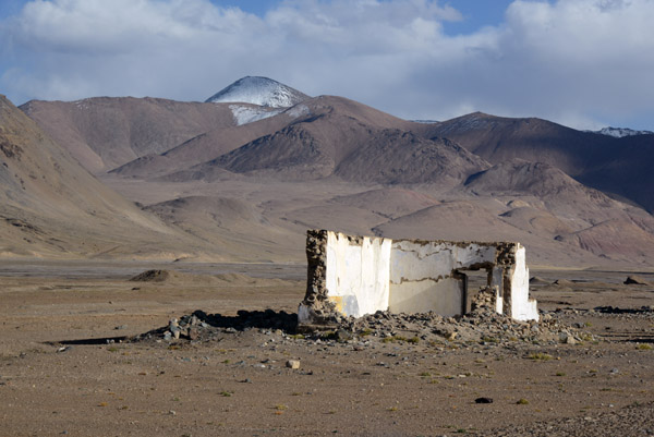 Roadside ruins along the Pamir Highway |
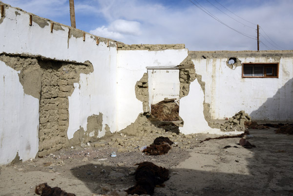
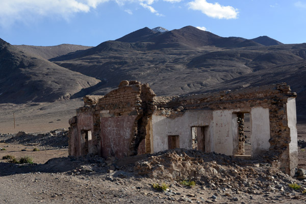 Graffiti covered ruin along the Pamir Highway |
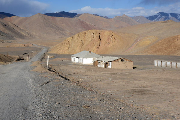
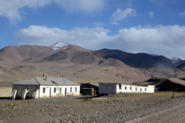 Some of the first semi-habitable looking buildings since Karakul |
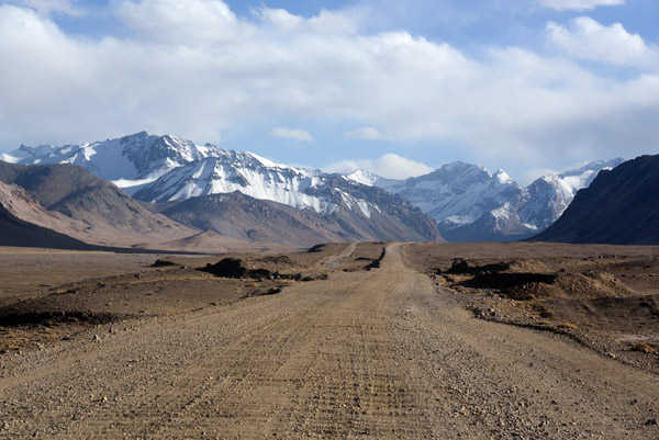 Ugh...the Pamir Highway becomes a washboard dirt road |
 Pamir Highway, GBAO |
 Pamir Highway, GBAO |
 Pamir Highway, GBAO |
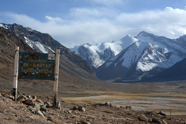
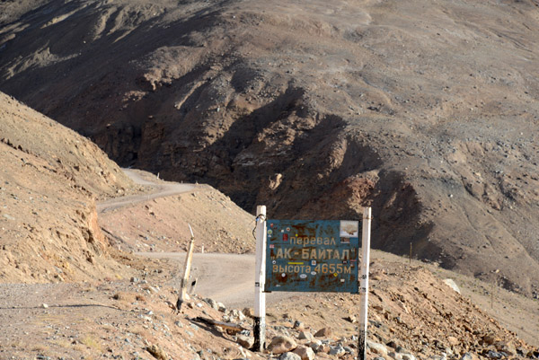 Ak-Baytal Pass (4655m/15,272 ft), the highest point on the Pamir Highway |
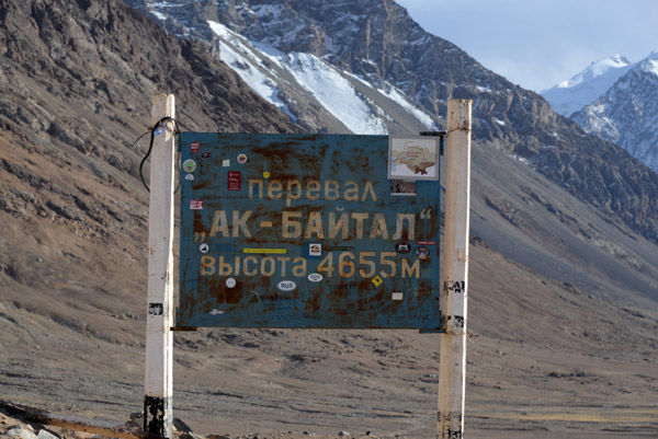 Ak-Baytal Pass (4655m/15,272 ft) - also the highest road in the former Soviet Union |
 I wasn't impressed that my driver was in such a rush he was going to blow right over the pass without stopping |
 the back side of the Ak-Baytal Pass |
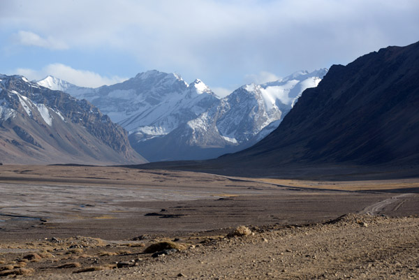
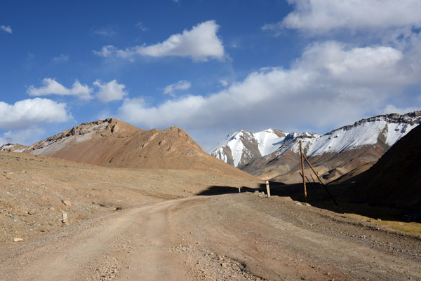 Pamir Highway, GBAO |
 I love the clean, crystal clear high altitude air and total lack of crowds |
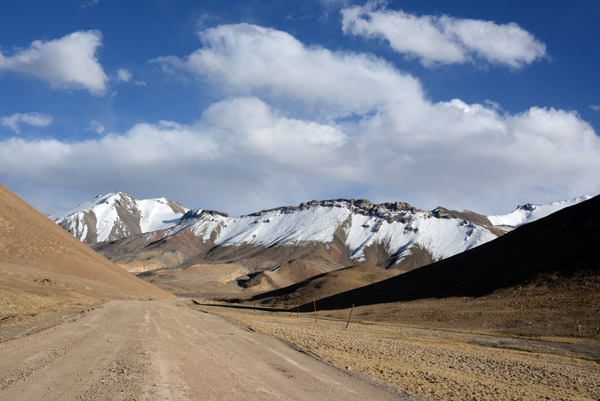
 Pamir Highway, GBAO |
 Along the Pamir Highway |
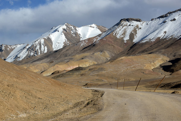
 Pamir Highway, GBAO |
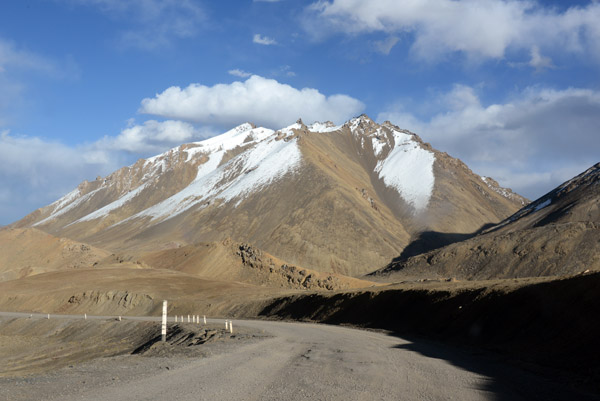
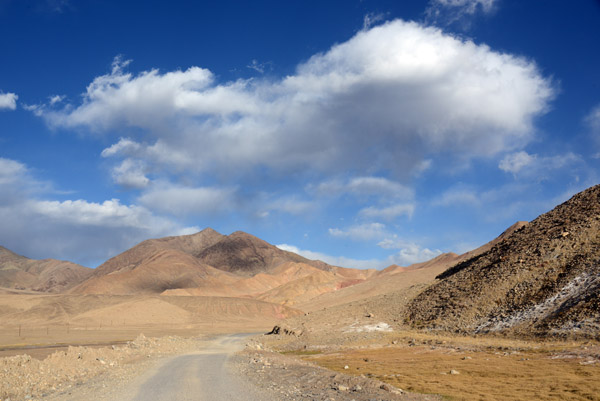
 The Pamir Highway here is around 12,500 ft above sea level |
 Pamir Highway, GBAO |
 Pamir Highway, GBAO |
 Pamir Highway, GBAO |
 Pamir Highway, GBAO |
 Pamir Highway, GBAO |
 Pamir Highway, GBAO |
 Pamir Highway, GBAO |
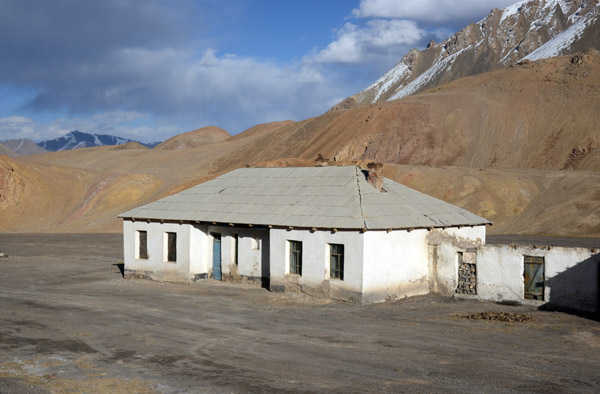
 A few houses on the side of the Pamir Highway north of Murgab |
 Remote living along the Pamir Highway |
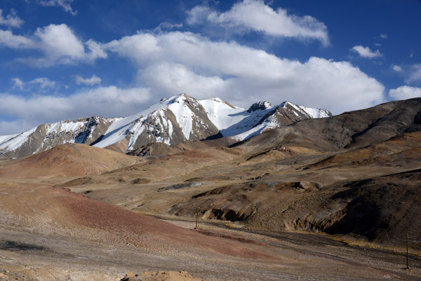
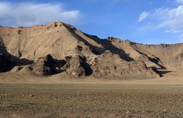
 Gorno-Badakhshan Autonomous Oblast |
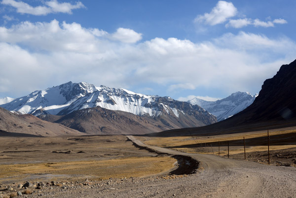
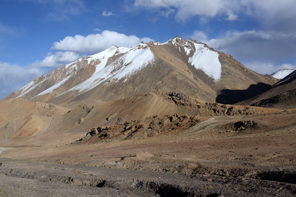
 Crystal clear and beautiful light of the highlands |
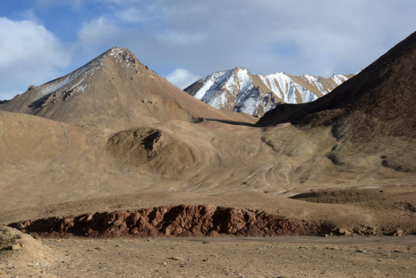 Along the Pamir Highway |
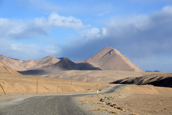
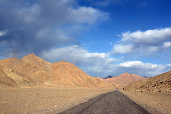 Pamir Highway headed to Murgab |
 Pamir Highway, GBAO |
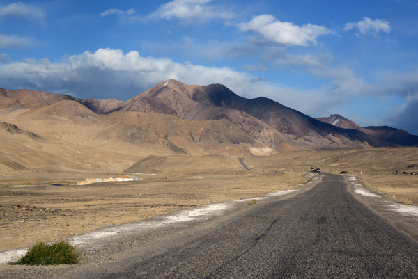
 Decent pavement on this section of the Pamir Highway |
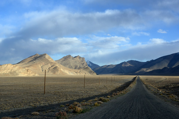
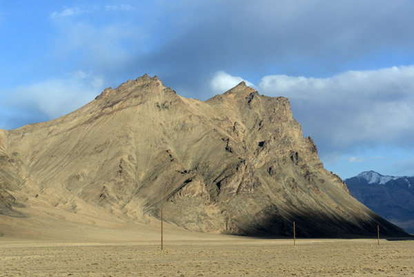
 Utility lines along the Pamir Highway |
 Pamir Highway, GBAO |
 Pamir Highway, GBAO |
 Pamir Highway, GBAO |
 Wet patch along the roadside |
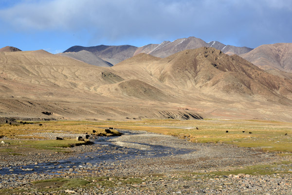 Stream with Yaks and the Chinese border zone fence in the distance |
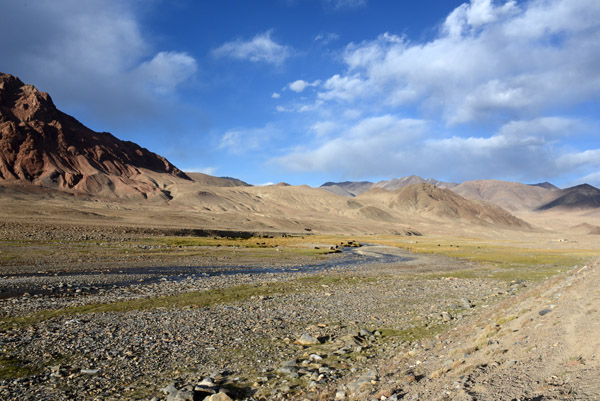 Stream in rocky terrain along the Pamir Highway |
 Pamir Highway |
 Pamir Highway, GBAO |
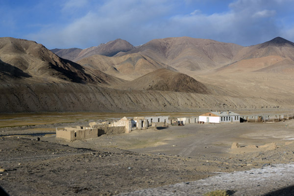 Roadside village of ruins along the Pamir Highway |
 Pamir Highway, GBAO |
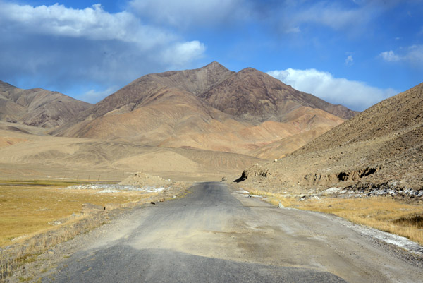
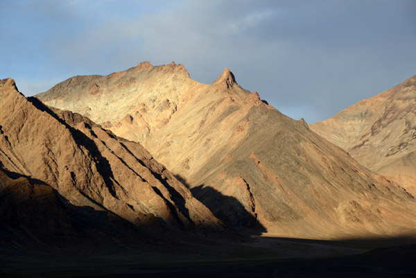
 Mountains along the Pamir Highway just north of Murgeb |
 Along the Pamir Highway |
 Getting late...hope we get to Murgab soon |
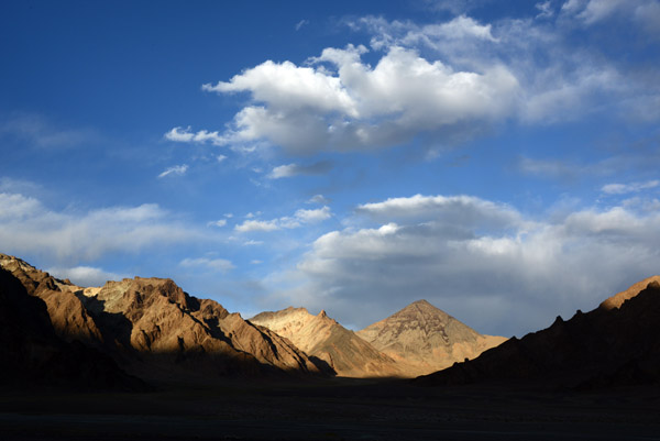 Late afternoon light in the Pamirs |
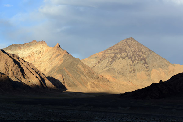
 Pamir colors |
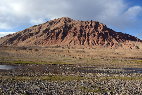
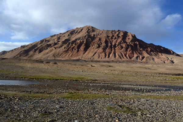
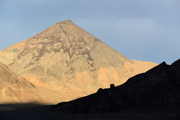 A red mountain in the late afternoon just north of Murgab |
| comment | share |