


|
|
|
|
|
|
| Brian McMorrow | profile | all galleries >> Oceania >> New Zealand >> South Island of New Zealand >> Lake Tekapo | tree view | thumbnails | slideshow |
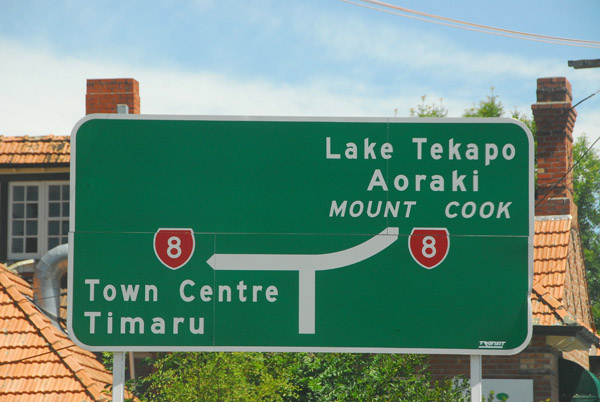 New Zealand Route 8 from Timaru to Lake Tekapo |
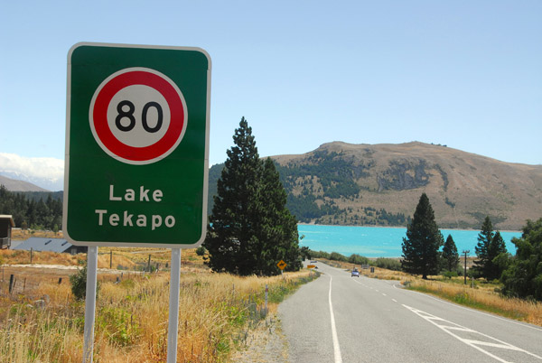 Arriving at Lake Tekapo, elev. 700m |
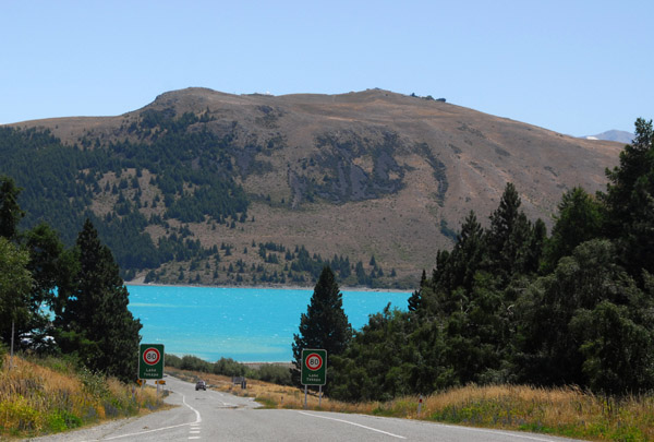
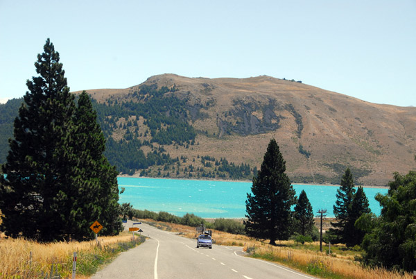 On the road descending to Lake Tekapo |
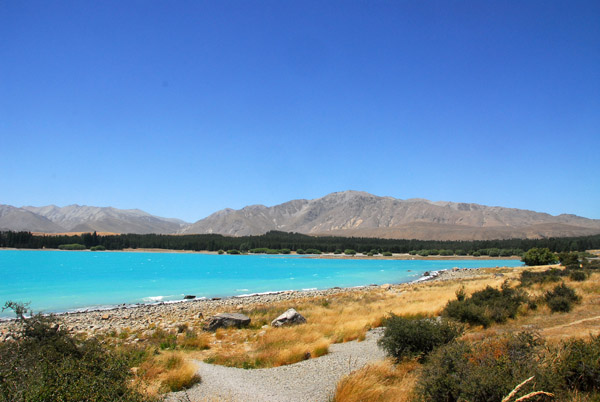
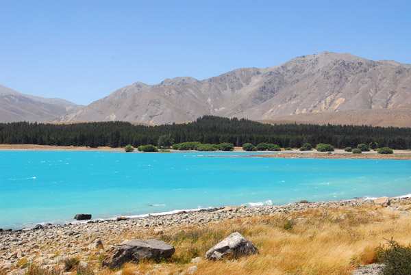
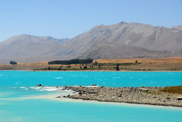
 Distinctive blue water caused by "glacial flour" - finely ground rock |
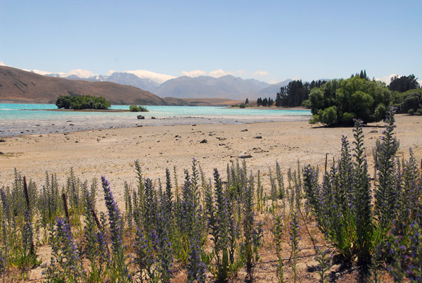 Wildflowers on the beach, Lake Tekapo |
 Lake Tekapo, New Zealand |
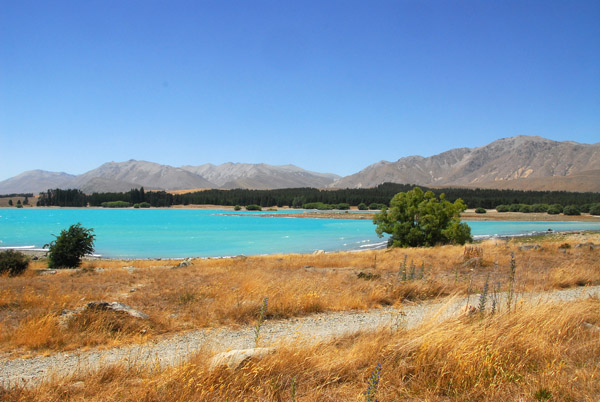
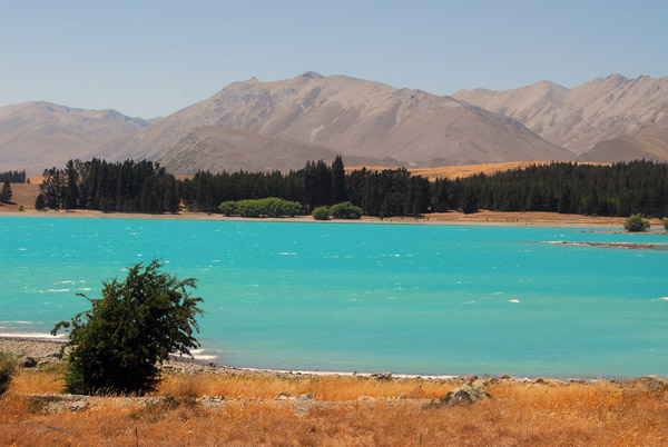
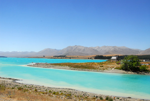
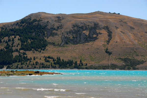 Foothills of the Southern Alps on the far shore of Lake Tekapo |
 Public beach on the SE corner of Lake Tekapo |
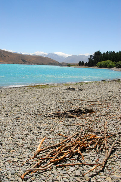 Pebbly beach, Lake Tekapo |
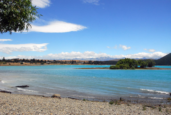 Looking towards Lake Tekapo village on the southern shore |
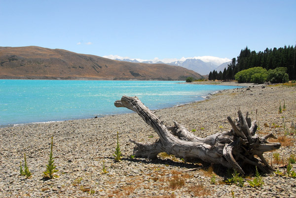 Bleached treestump, Lake Tekapo |
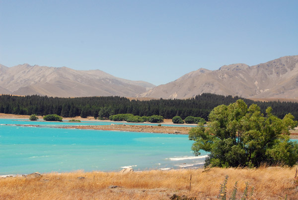
 Bright blue water of Lake Tekapo, glacial flour |
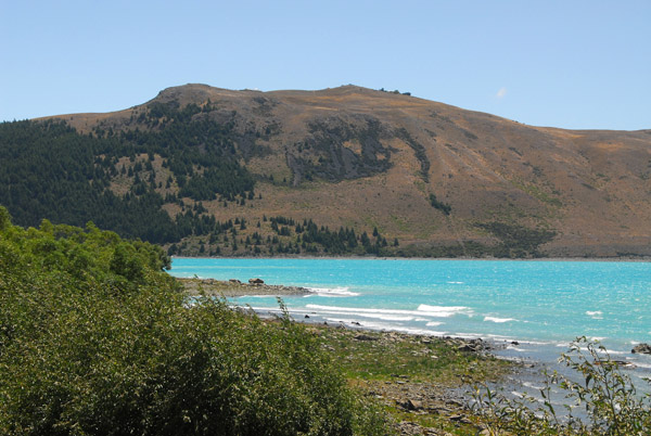 Glacier-fed Lake Tekapo, 83 square km |
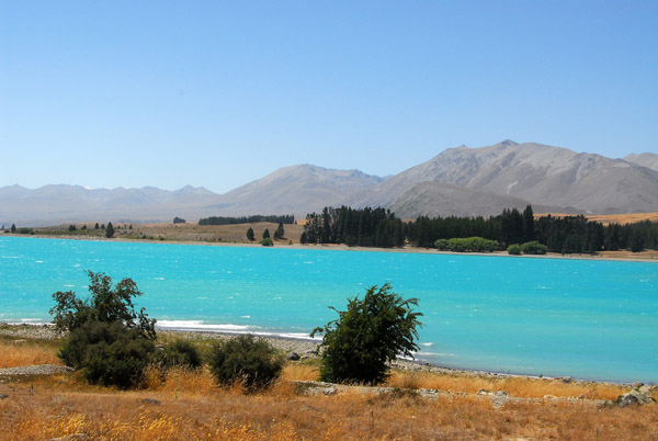
 View from the southeast corner of Lake Tekapo |
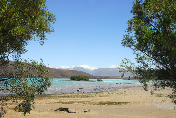
 Looking north across the glacial blue waters of Lake Tekapo |
 Lake Tekapo, New Zealand |
 Lake Tekapo, New Zealand |
 Lake Tekapo, New Zealand |
 Lake Tekapo, New Zealand |
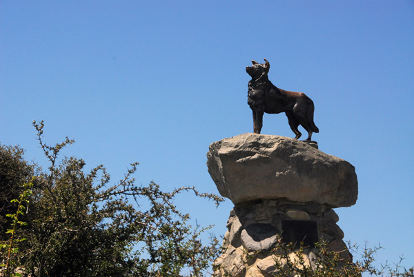 "This monument was erected by the runholders of the Mackenzie County.... |
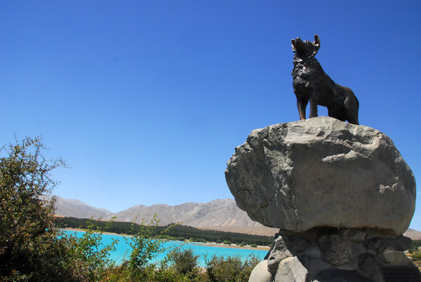 ...and those who also appreciate the value of the collie dog, ... |
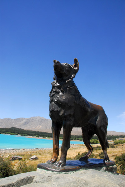 ...without the help of which the grazing of this mountain country would be impossible." |
 View looking east along the southern shore, Lake Tekapo |
 Looking across to the public picnic and camping area |
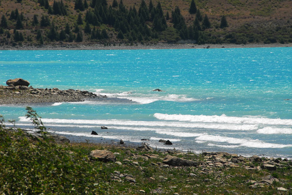
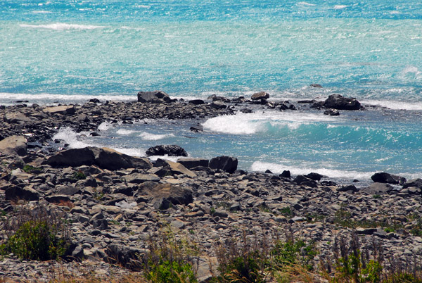 Small waves, Lake Tekapo |
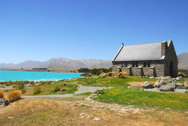
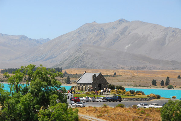
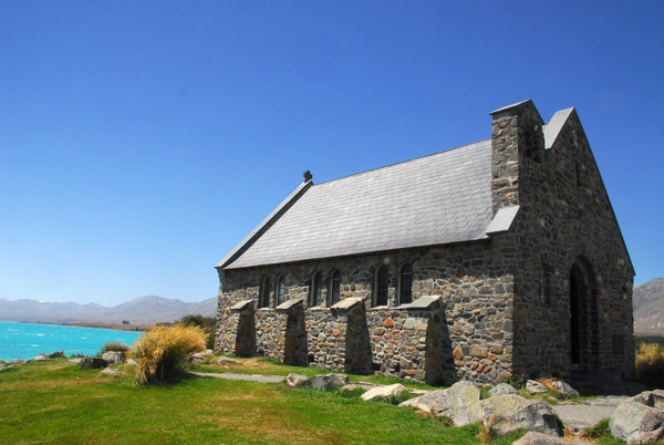 Church of the Good Shepherd, 1935, Lake Tekapo |
 The Church of the Good Shepherd was the first chuch built in the Mackenzie Basin |
 A big picture window offers a great view of the lake |
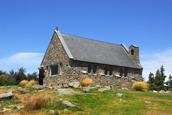
 Church of the Good Shepherd, Lake Tekapo |
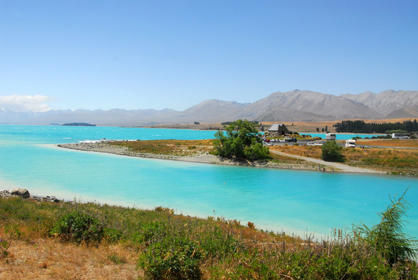 Tekapo River leaving the southern end of the lake |
 Tekapo River and Lake Tekapo looking northeast |
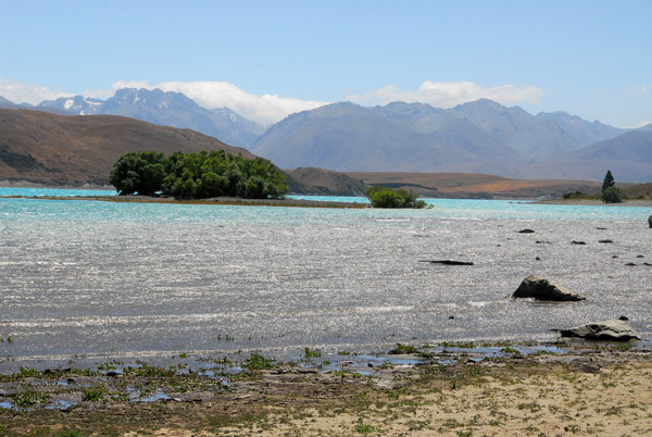
 Rocky spit at east side of the mouth of the Tekapo River |
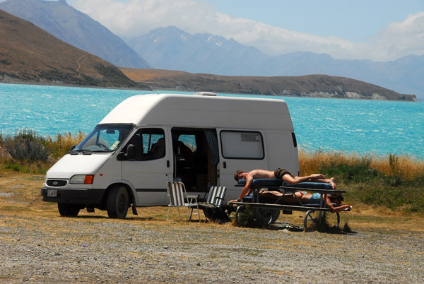 Campers taking a rest, Lake Tekapo |
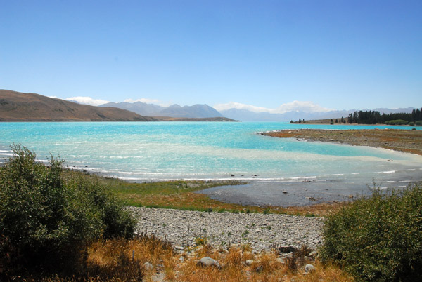
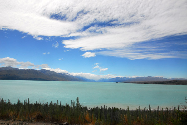 Lake Pukaki, 99 square km, just west of Lake Tekapo |
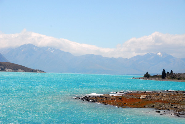
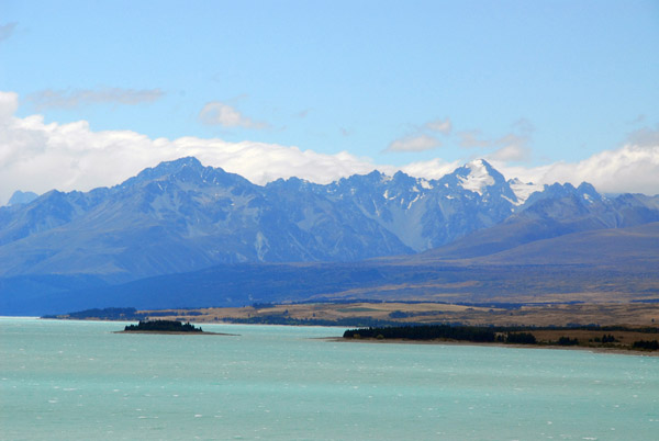 Eastern side of the Southern Alps, Lake Pukaki |
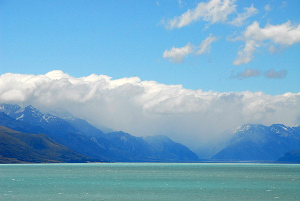 Thick clouds along the main ridge of the Southern Alps block the view of Mount Cook 70km north |
| comment | share |