


|
|
|
|
|
|
| Brian McMorrow | profile | all galleries >> Subsaharan Africa >> Mali >> Eastern Mali | tree view | thumbnails | slideshow |
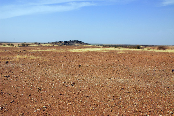
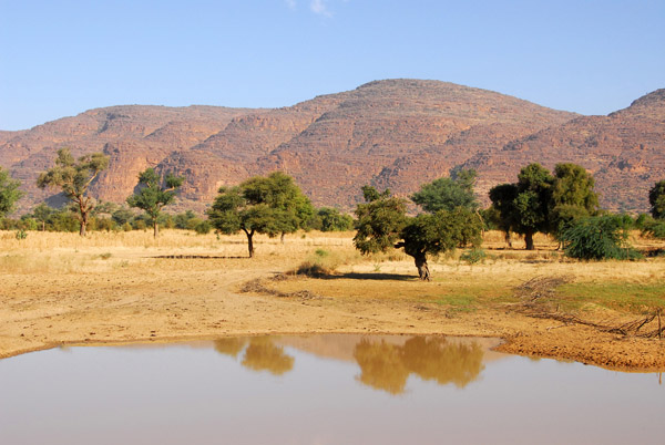 Hills east of Douentza, Mali, on the road to Gao |
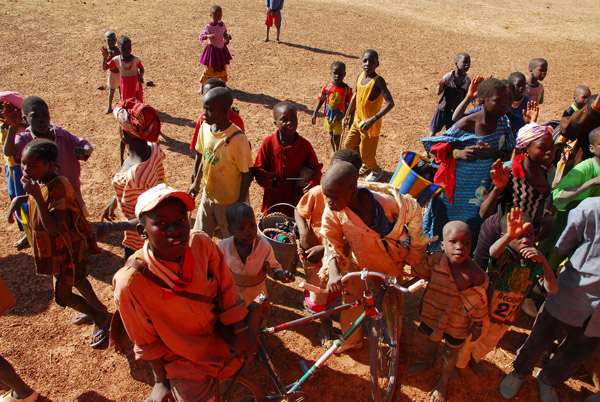
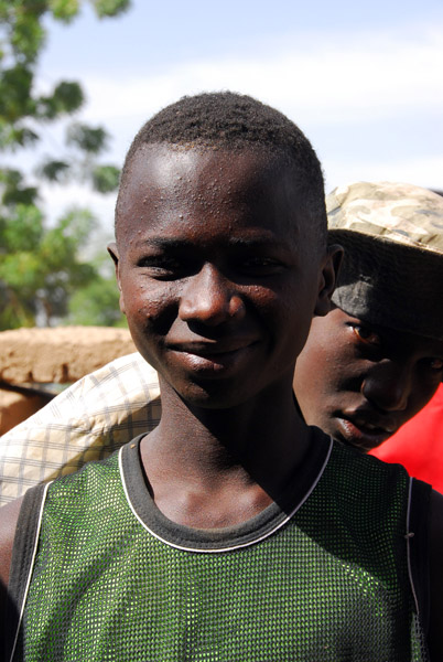
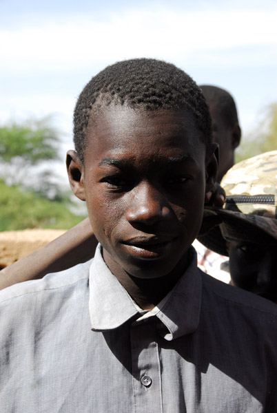
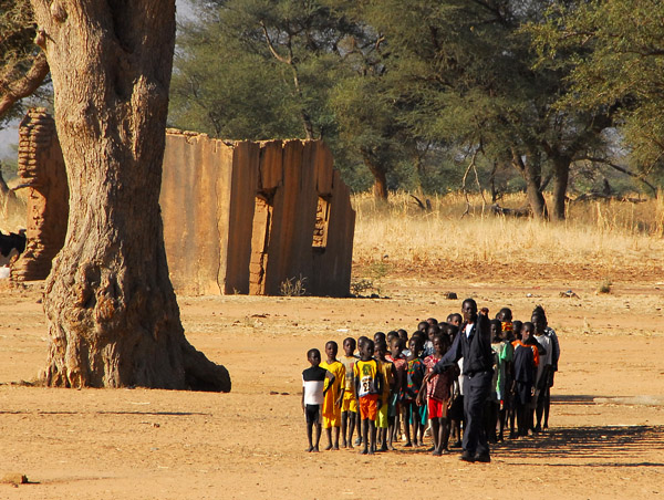 Assembly of school kids, Mali |
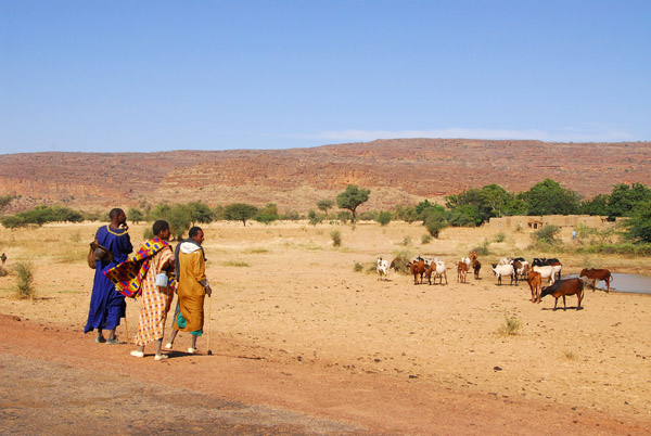
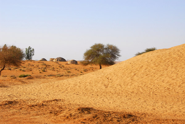
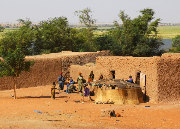
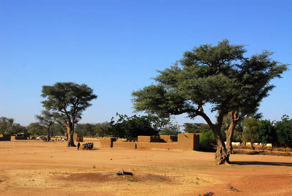 We stopped at this villager a short drive east of Douentza |
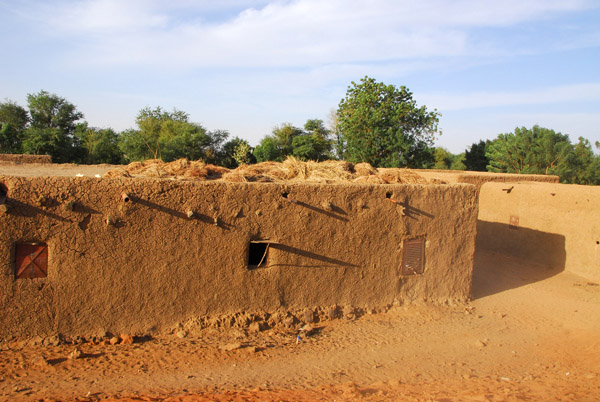
 Village school east of Douentza on the road to Gao |
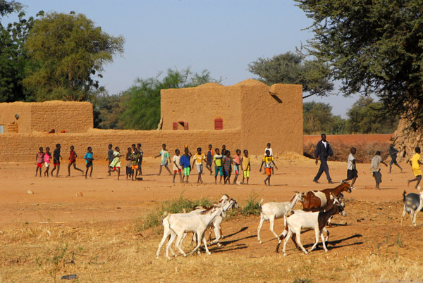 Village school east of Douentza, Mali |
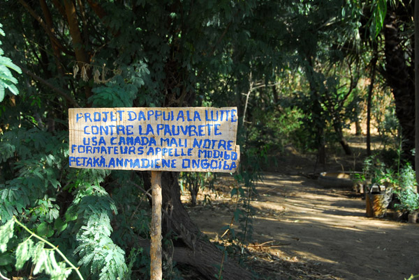 This village is the beneficiary of a US-Canadian project to dig safe wells for drinking water |
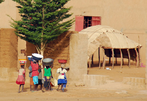
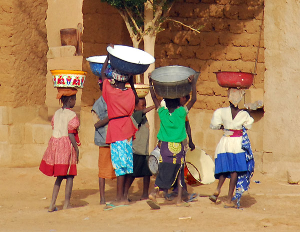
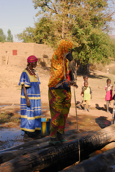 Women drawing water from the old well |
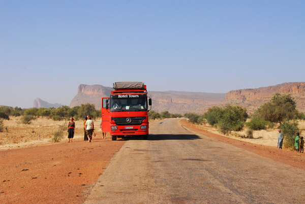
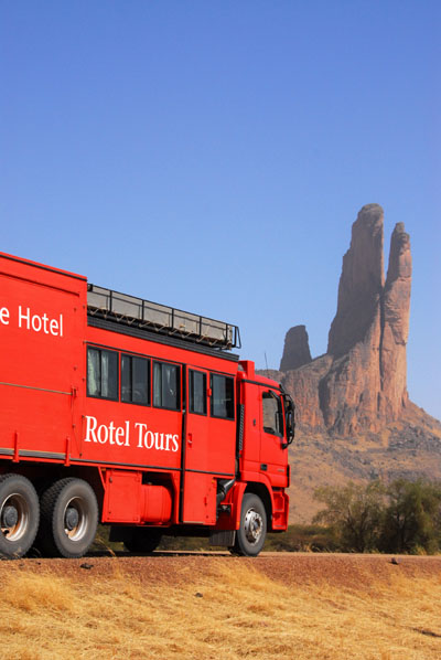
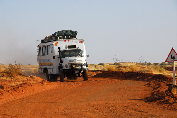
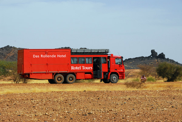
 Rotel truck, Mali |
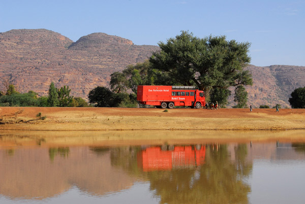 Rotel truck, Mali |
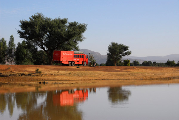
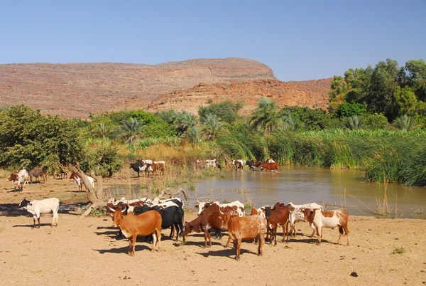
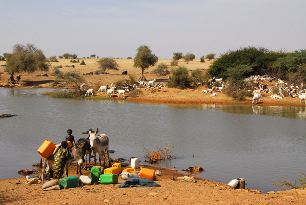
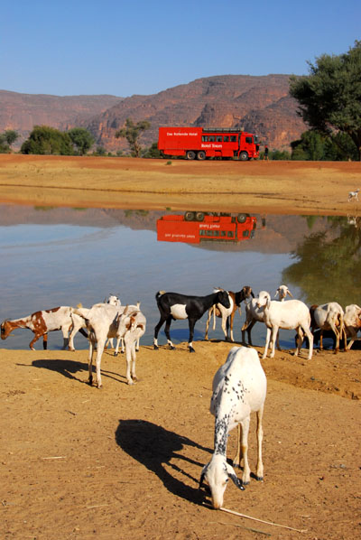 Waterhole with goats and Rotel |
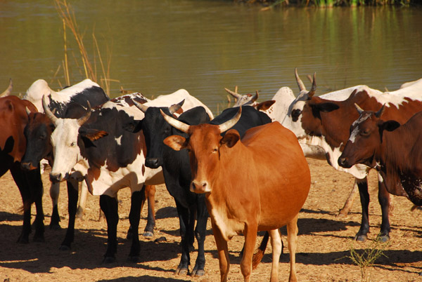
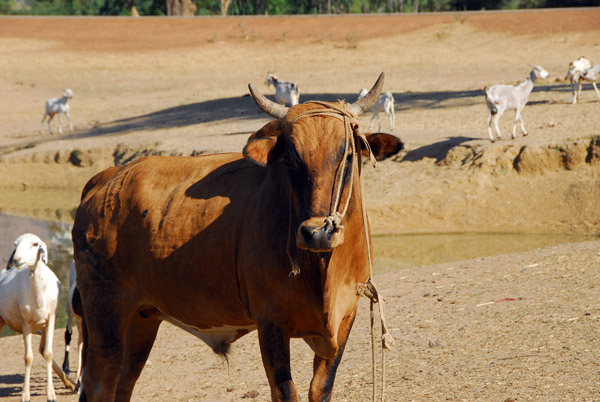 Bull |
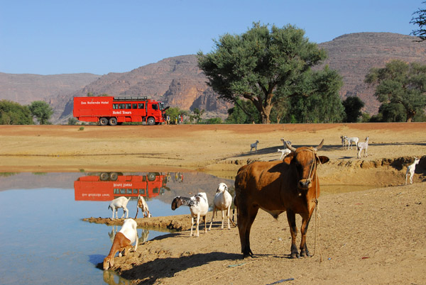 Rotel parked by a waterhole in Mali |
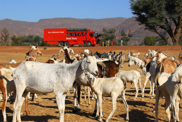 Herd of goats, Mali |
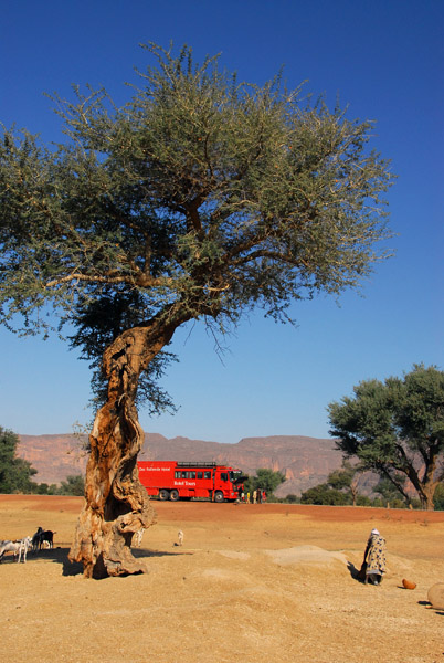 Rotel and tree |
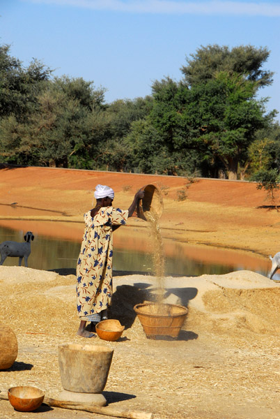 Woman working |
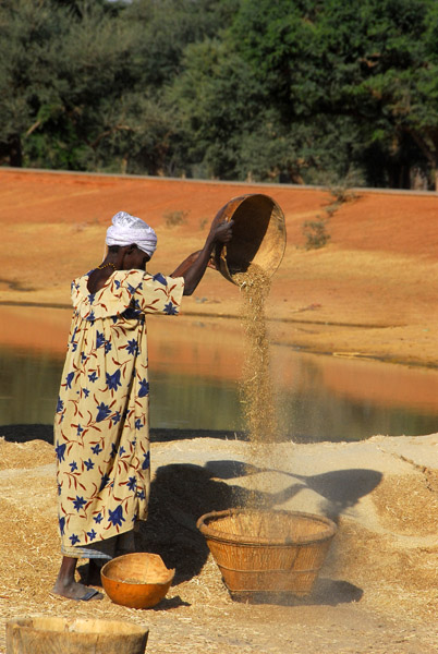 Pouring grain |
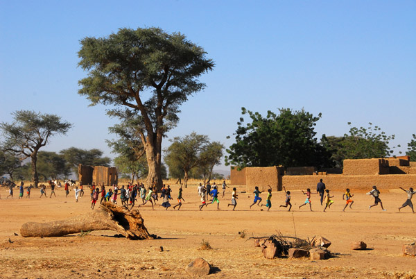
 Village kids see us off, Mali |
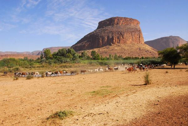
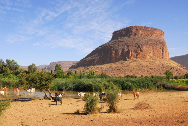
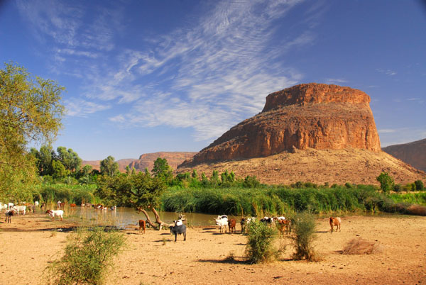
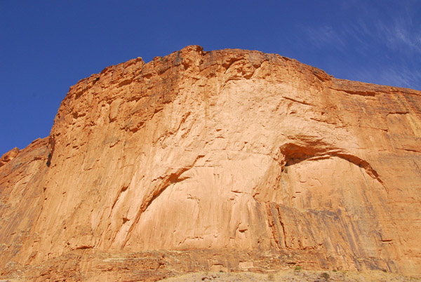
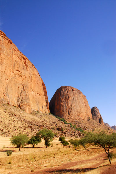
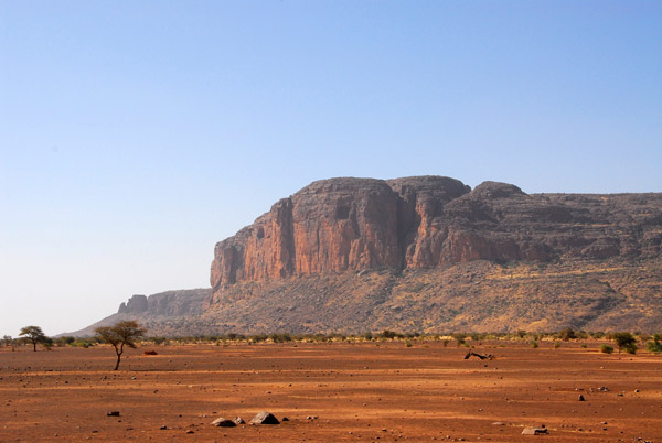
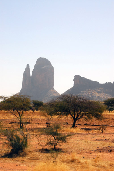
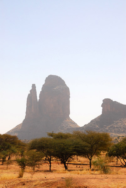
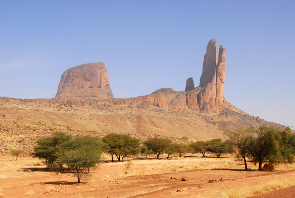
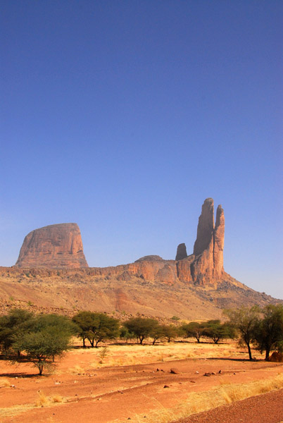
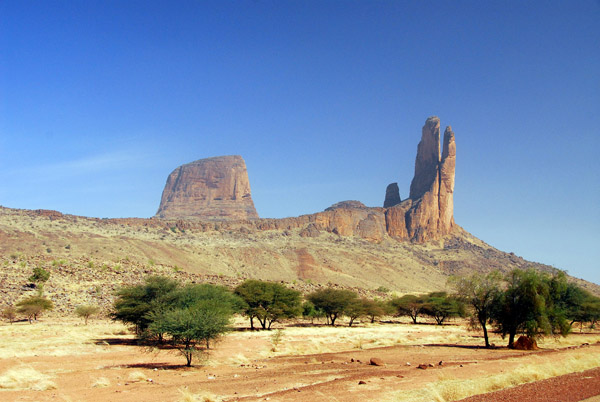
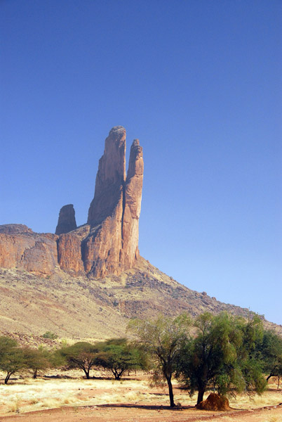
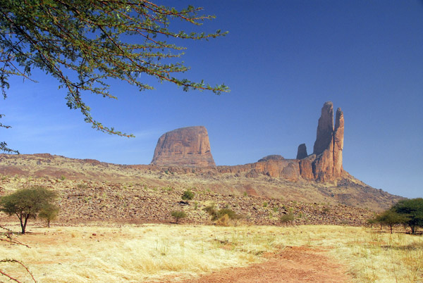
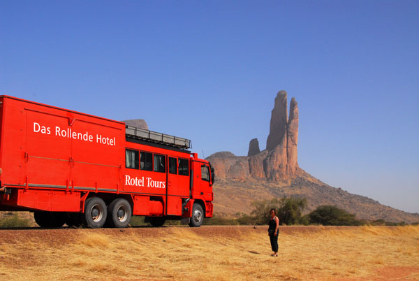
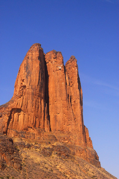
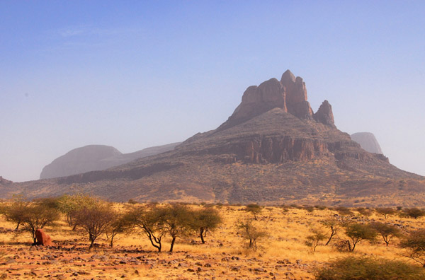
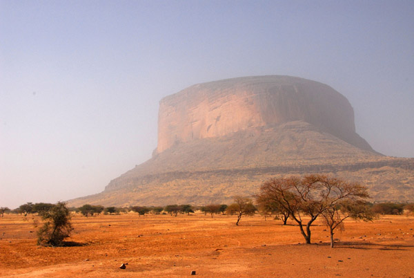
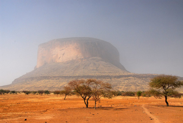
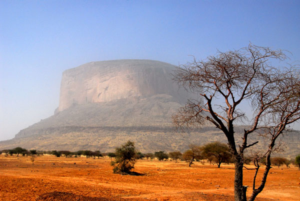
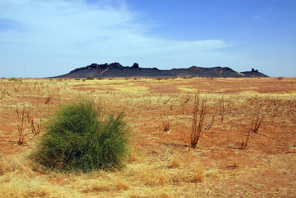
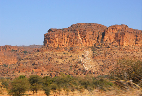 Gandamia Massif, Monts du Hombori, Mali |
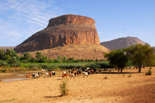 The Gandamia Massif, Mali's "Monument Valley" between Douentza and Gao |
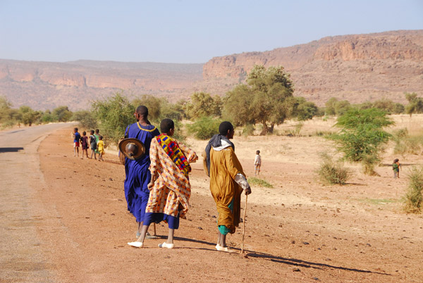
 For the next two hours we drove through a very scenic area of Mali |
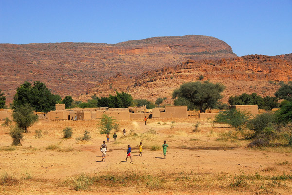 A village in the Hombori Mountains, Mali |
 Gandamia Massif, Monts du Hombori, Mali |
 Gandamia Massif, Monts du Hombori, Mali |
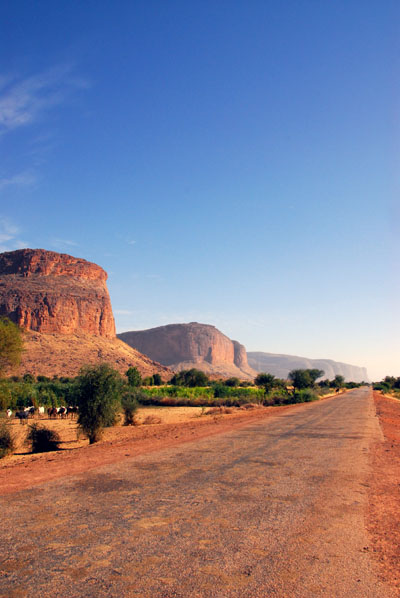
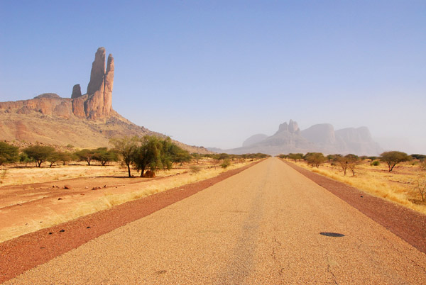
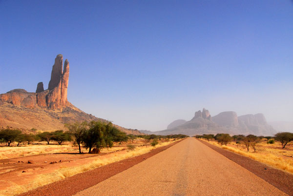
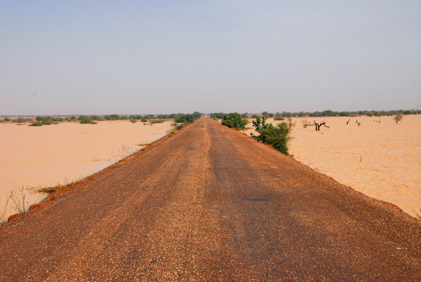
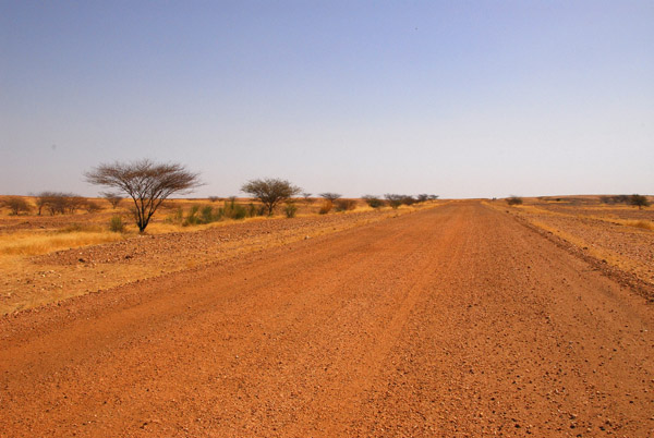
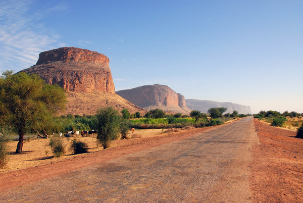 The scenic road running east of Douentza towards Gao |
 Douentza to Gao |
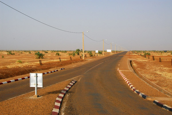
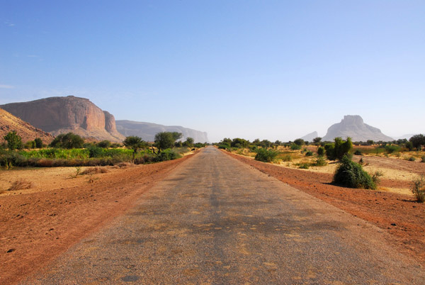 Douentza to Gao is 400km by good road |
 Gandamia Massif, Monts du Hombori, Mali |
 This is the a very scenic stretch of road between Douentza and Hombori |
 MaliNov06 3804.jpg |
 MaliNov06 3805.jpg |
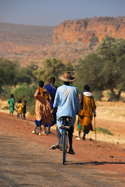 Man on a bike, Mali |
 MaliNov06 3807.jpg |
 MaliNov06 3802.jpg |
 Rotel pulled off the road in the Monts du Hombori, Mali |
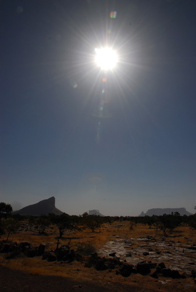 Sun over Mali |
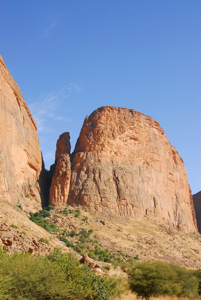 Gandamia Massif |
 Gandamia Massif |
 Gandamia Massif |
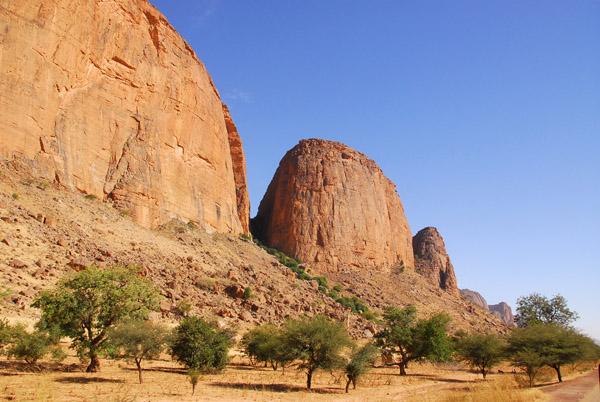 Gandamia Massif - this section of road between Douentza and Hombori was the most scenic we passed through in Mali |
 Gandamia Massif |
 Africa's Monument Valley, Mali |
 Gandamia Massif |
 Gandamia Massif |
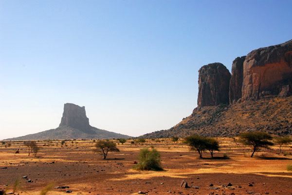 Gandamia Massif - very "Monument Valley" |
 Gandamia Massif |
 Gandamia Massif |
 Gandamia Massif |
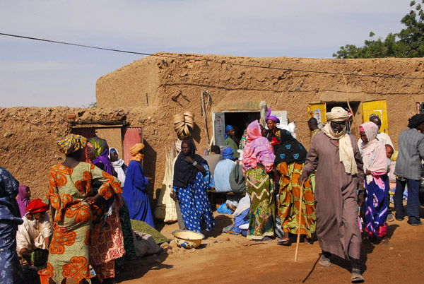
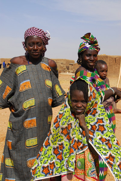
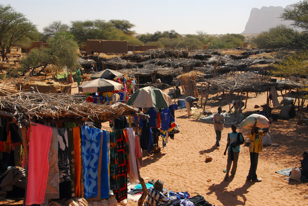 Market day in the village of Symbi, Mali |
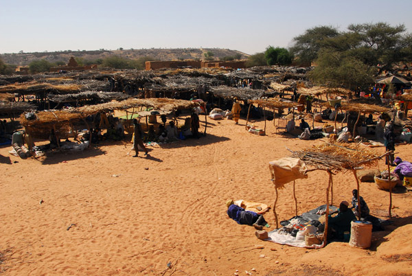 Market day in the village of Symbi, Mali |
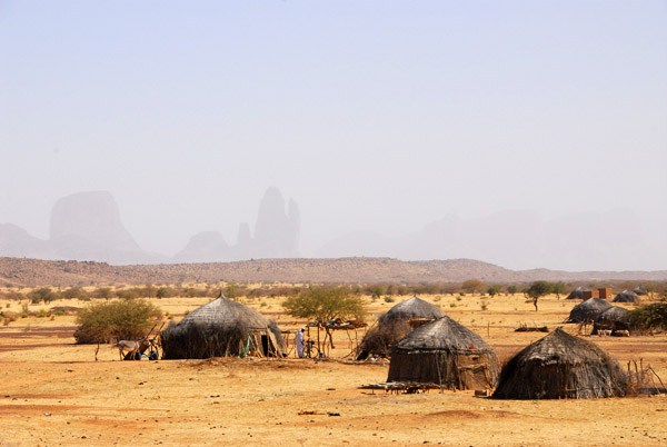 African huts with the Hombori Mountains |
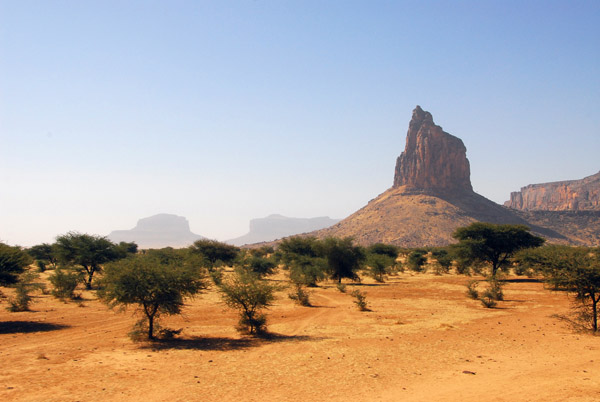
 La Main de Fatima - The Hand of Fatima, Mali |
 La Main de Fatima and the road from Mopti to Gao (N16) |
 La Main de Fatima |
 La Main de Fatima - Garmi Tondo |
 La Main de Fatima |
 La Main de Fatima and the road to Hombori |
 La Main de Fatima |
 Rotel parked near the Hand of Fatima |
 Rotal and the Hand of Fatima |
 La Main de Fatima |
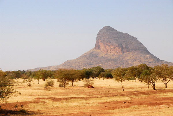
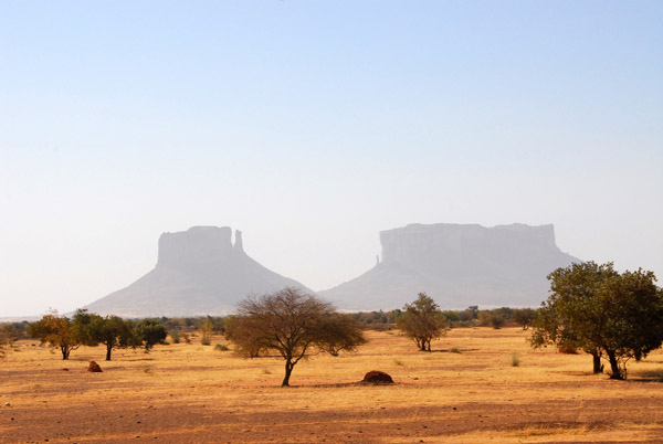
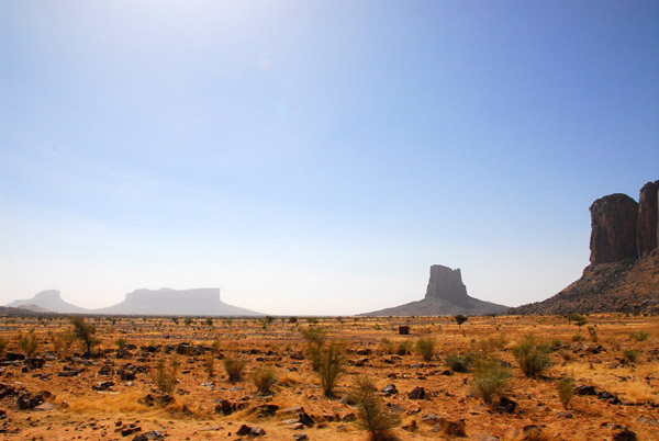
 Hombori Mountains, Mali |
 Mont Hombori (1155m) the highest mountain in Mali |
 Mont Hombori (1155m) the highest mountain in Mali |
 Hombori Tomdo (1155m) the highest mountain in Mali |
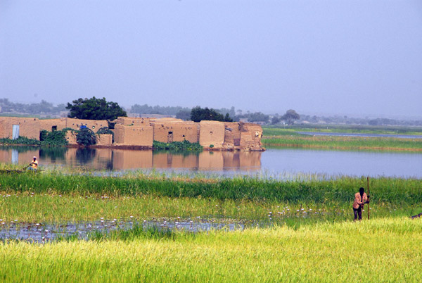
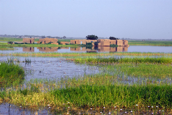
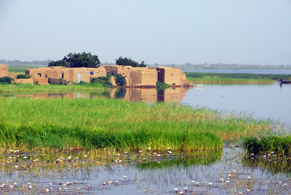
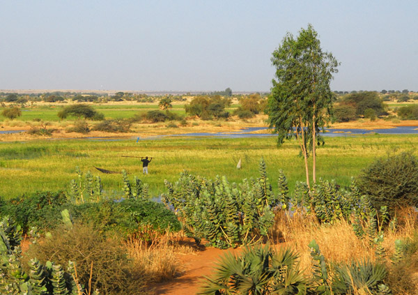
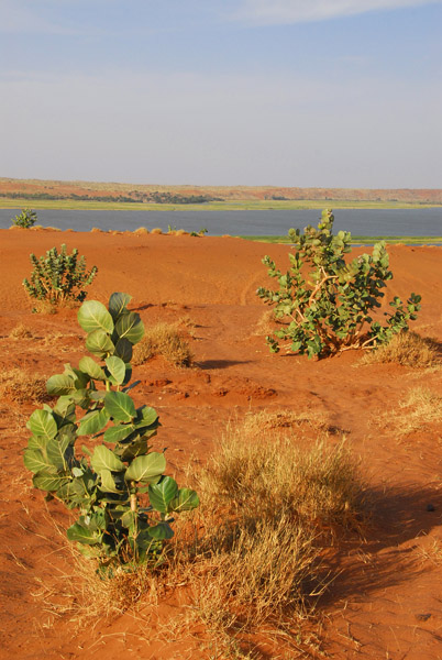
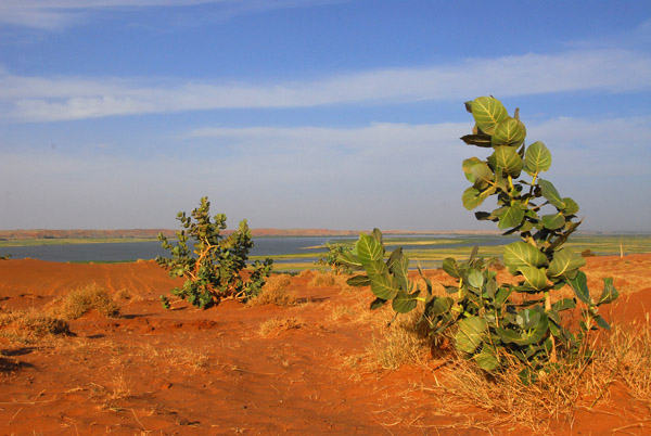
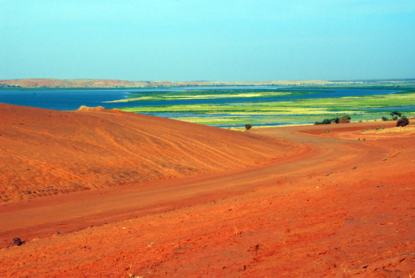
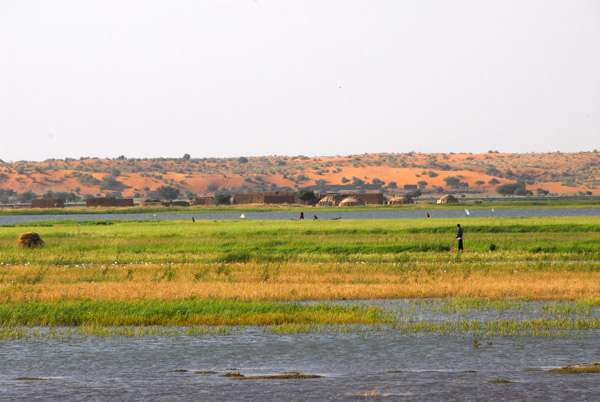
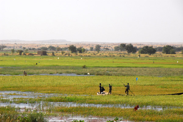
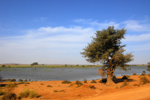
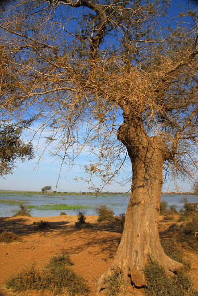
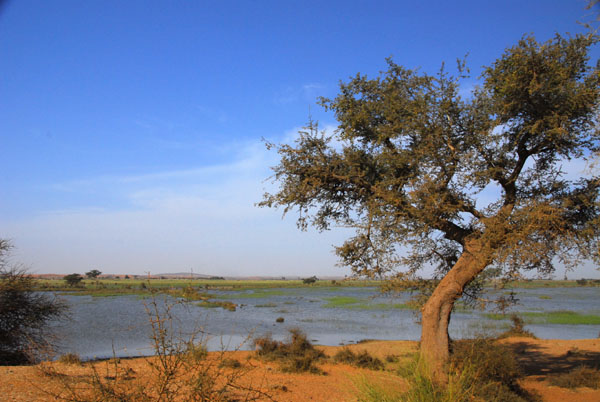
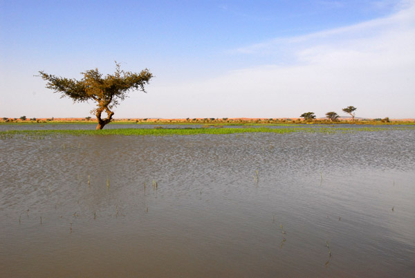
 About 30 minutes east of Mont Hombori, the Gao Highway passed through a flooded area |
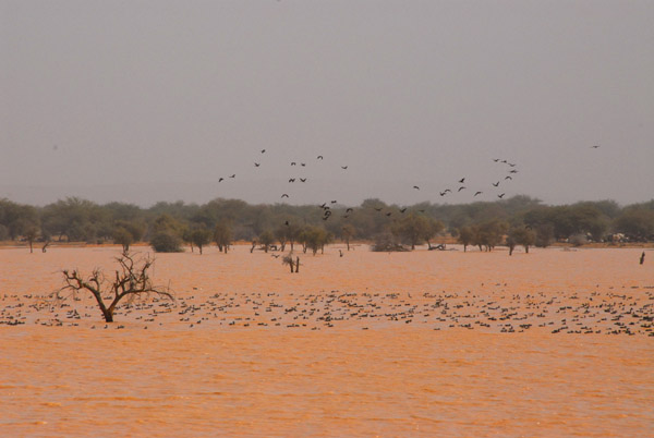 Flocks of birds taking advantage of the seasonal lake, Eastern Mali |
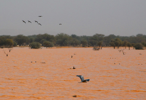 Flocks of birds taking advantage of the seasonal lake, Eastern Mali |
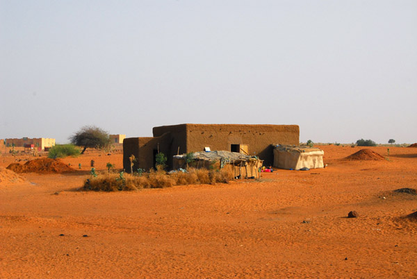
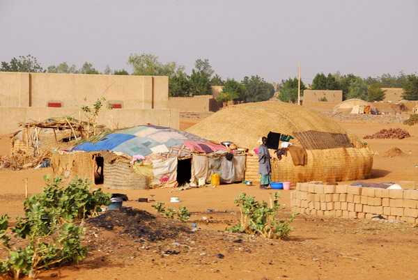
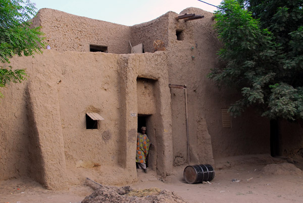
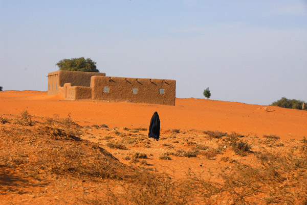
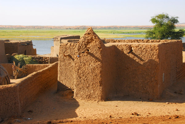
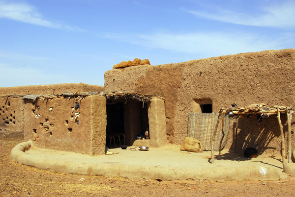
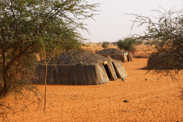 African huts, Eastern Mali |
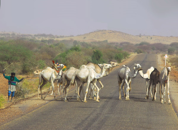 Camels crossing the Gao Highway |
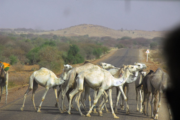 View through the front window of the truck |
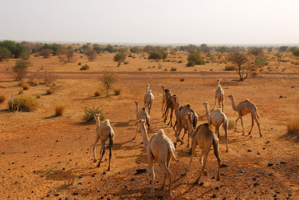 Camels in Eastern Mali |
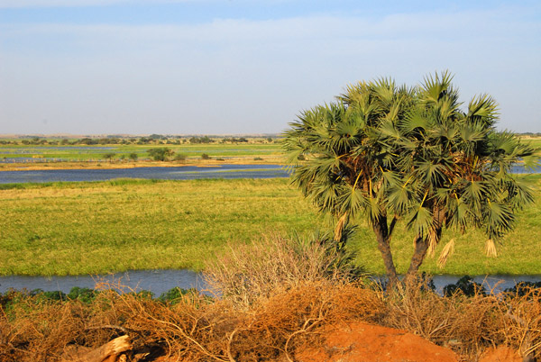
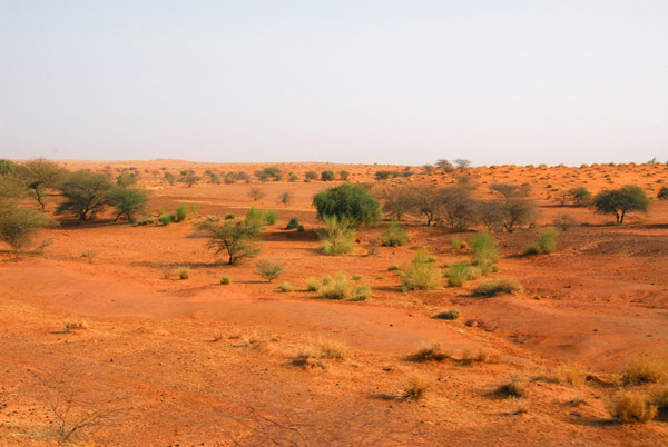 East of Mont Hombori on the way to Gao, the scenery reverts to that more typical of the Sahel, Eastern Mali |
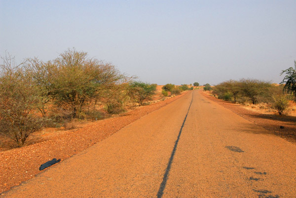 The Mopti-Gao Road, Eastern Mali |
 The outskirts of Gao, Mali |
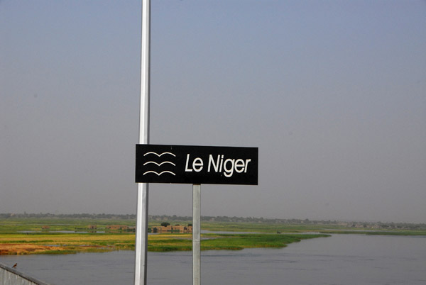 Crossing the Niger River at Gao using the new bridge |
 The new bridge at Gao - the next bridges are Niamey 500km downstream and Bamako 1200km upstream ( |
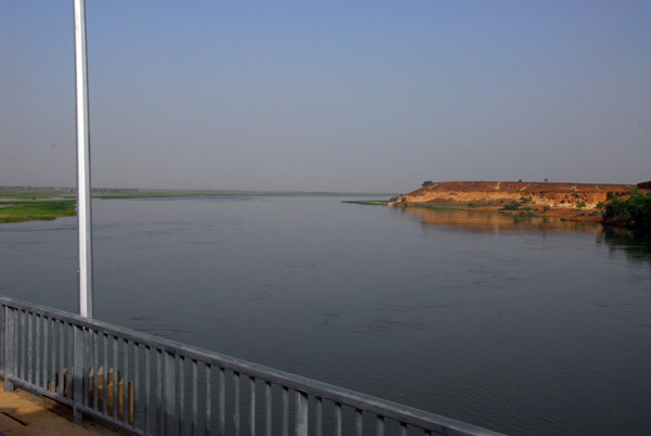
 The Niger River from the new bridge at Gao |
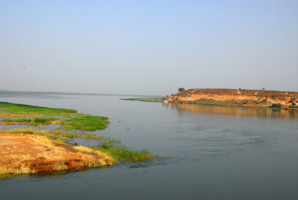
 Niger River near Gao, Mali |
 Niger River near Gao, Mali |
 Niger River near Gao, Mali |
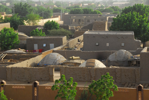
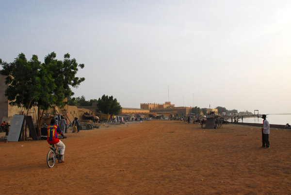
 The road leading from the bridge to Gao, the largest city in Eastern Mali |
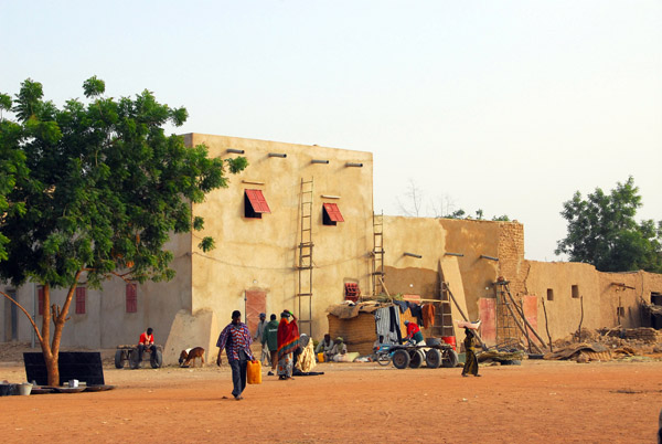
 Huts on the edge of Gao, Mali |
 Gao, Mali |
 Kids in Gao, Mali |
 Gao, Mali |
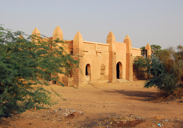
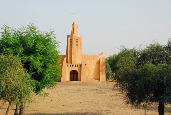 Church in Gao, Mali, built in the local style |
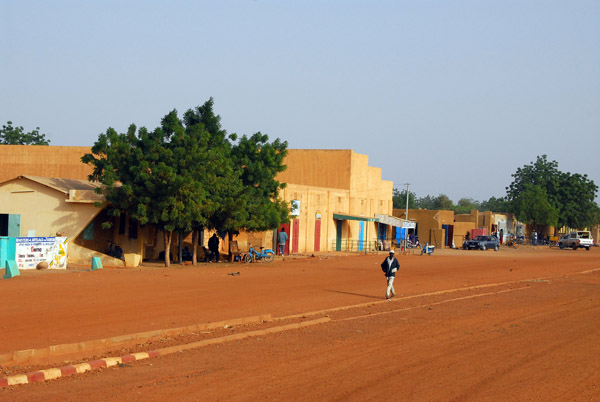 A wide dirt road in the city of Gao, Mali |
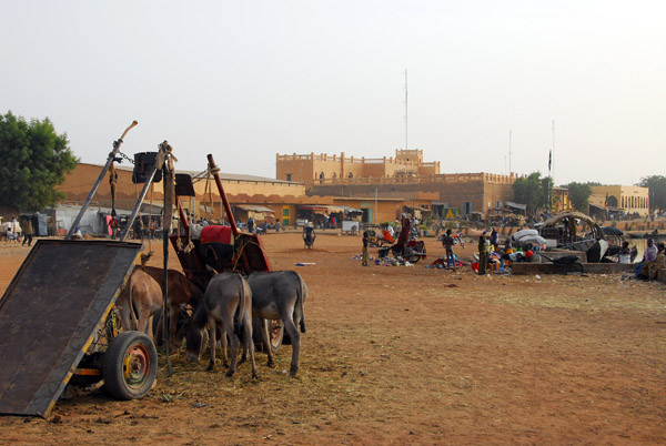
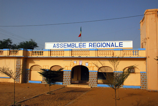 Regional Assemby, Gao, Mali |
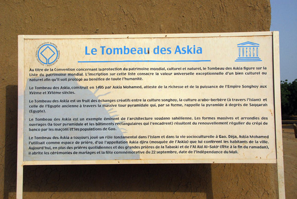
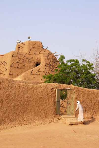
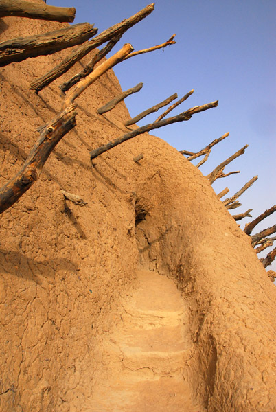
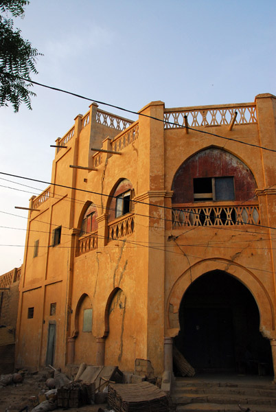
 Le Tombeau des Askia, Gao |
 World Heritage Site - the Tomb of Askia - Gao, Mali |
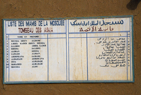 List of Imams of the Mosque of the Tomb of Askia, Gao |
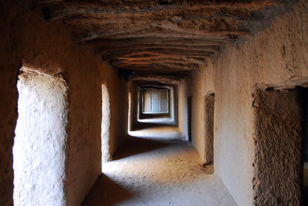
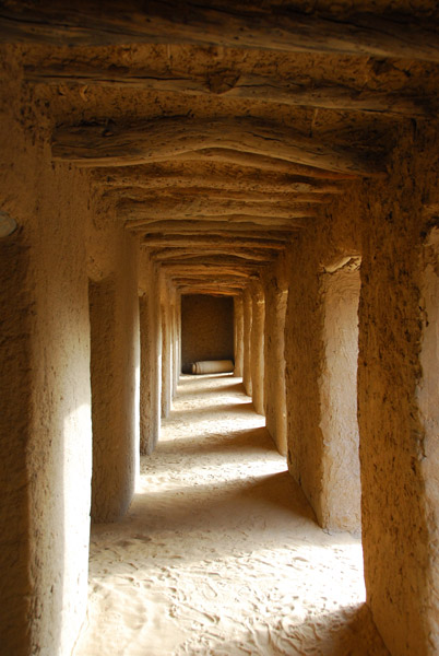
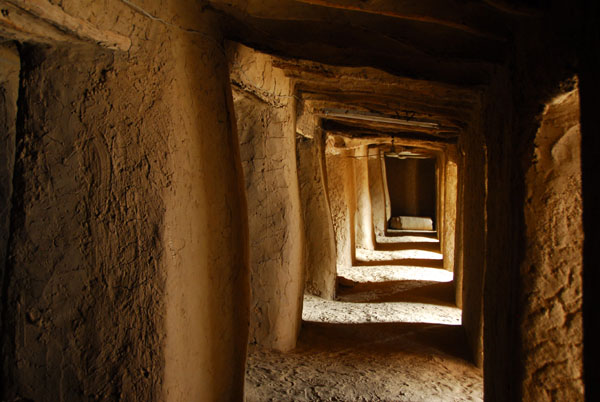
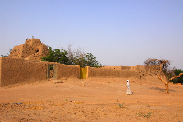 Outer courtyard, Tomb of Askia, Gao |
 Le Tombeau des Askia, Gao |
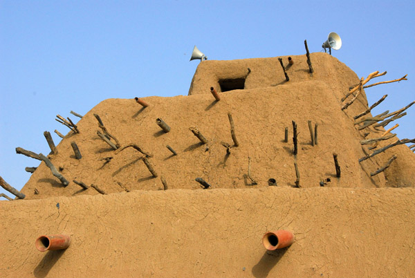 The Tomb of Askia (1442-1538) King of the Songhai Empire |
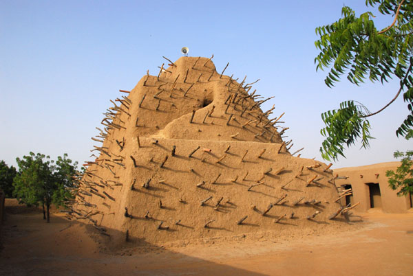 Tomb of Askia (1495) Gao |
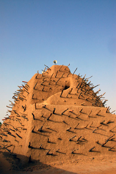 Tomb of Askia (1495) Gao |
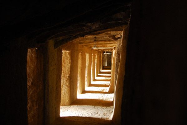
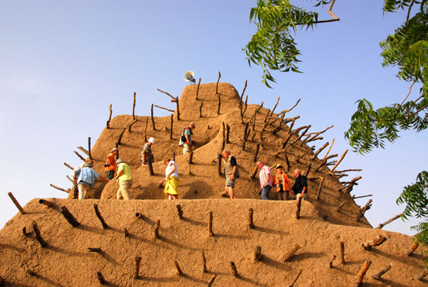 Climbing the minaret of the Tomb of Askia |
 Steps up the minaret, Tomb of Askia |
 View from the top of the minaret, Tomb of Askia |
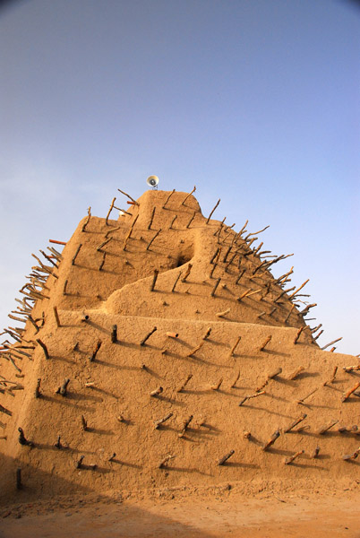 The Tomb of Askia, Gao, Mali |
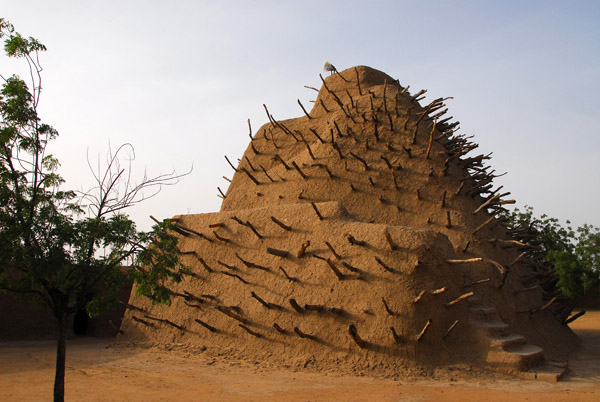 Askia the Great (1442-1538) ruled over the largest empire in West Africa, the Songhai Empire of the 15th Century |
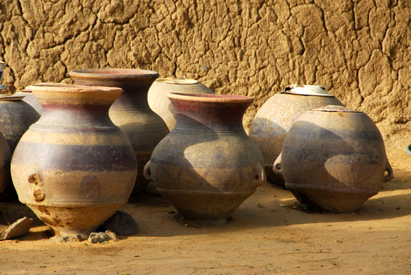 Pottery at the Tomb of Askia, Gao |
 Inside the mosque of the Tomb of Askia, Gao, Mali |
 Mosque of the Tomb of Askia, Gao |
 Inside the mosque of the Tomb of Askia, Gao |
 Inside the mosque of the Tomb of Askia, Gao |
 A side street in Gao |
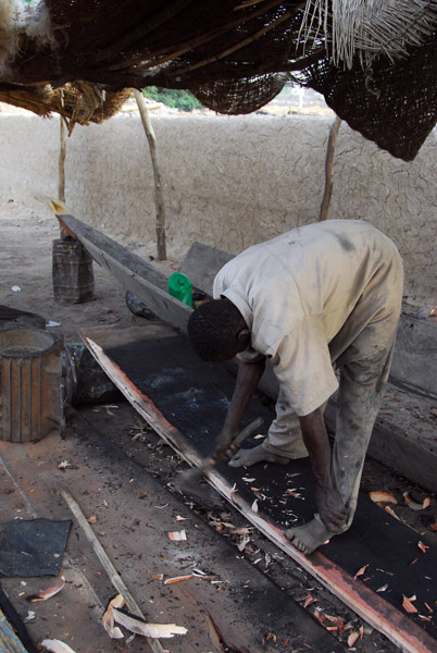 Man building a pirogue, Gao |
 Gao riverfront, Mali |
 Riverfront of Gao, Mali |
 Buildings built along Gao's riverfront, Mali |
 Donkey cart parking, Gao |
 Along the riverfront, Gao, Mali |
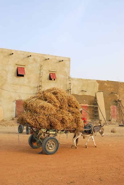 Donkey cart loaded with hay, Gao |
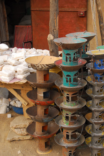
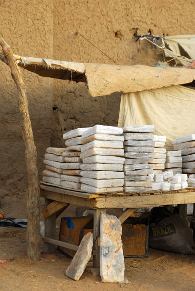 Salt merchant, Gao |
 Blocks of Saharan salt, Gao |
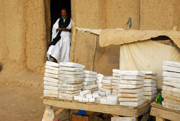 Sahran salt, Gao |
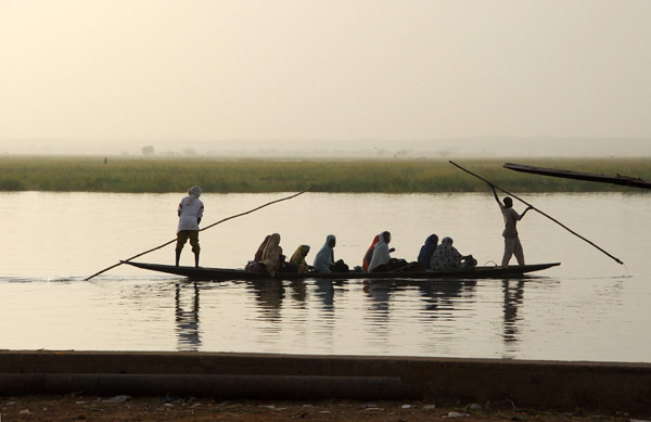 Pirogue ferrying people across the Niger River, Gao |
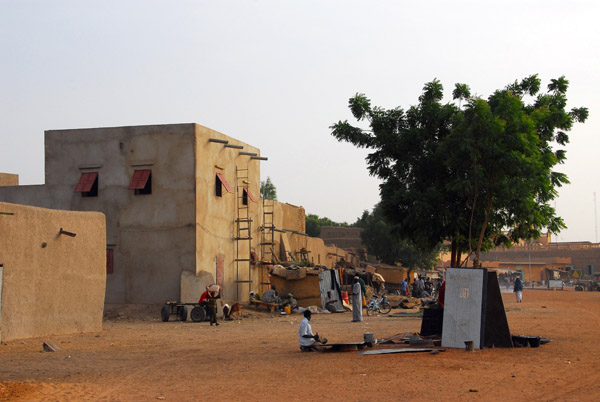
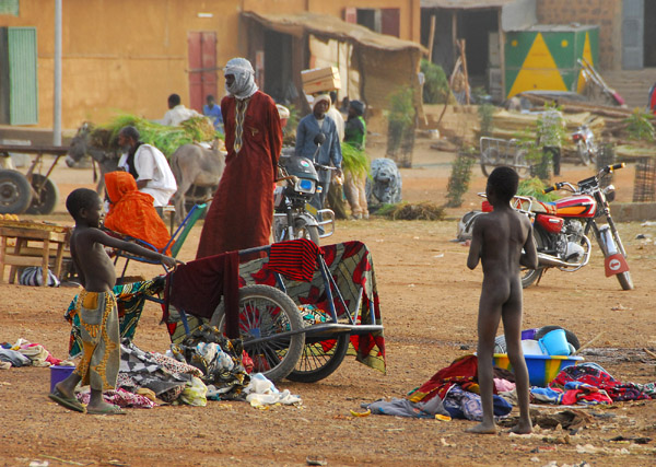
 Area around the market, Gao |
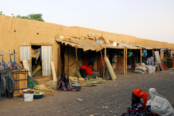 Downtown Gao, Mali |
 Useful items made of scrap metal, Gao |
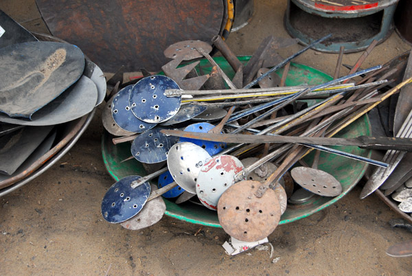 Useful items made of scrap metal, Gao |
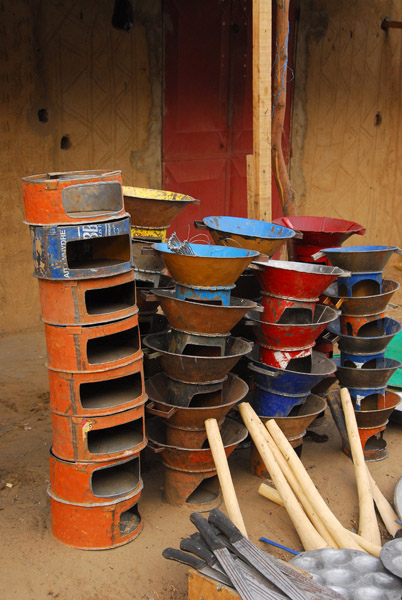 Useful items made of scrap metal, Gao |
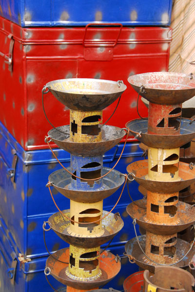 Useful items made of scrap metal, Gao |
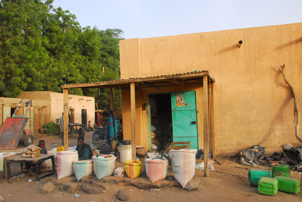
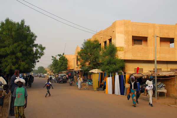 Downtown Gao |
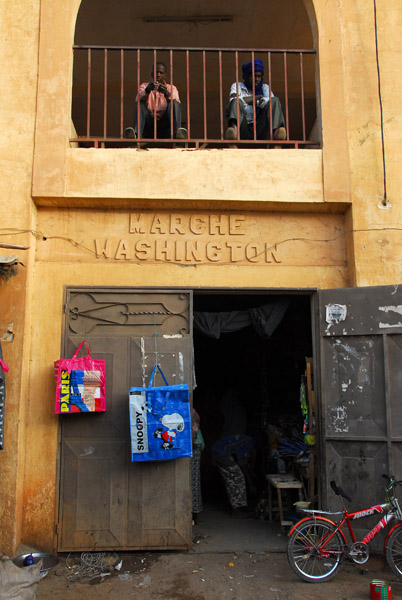 Marche Washington, Gao |
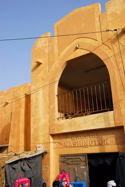 Marche Washington, Avenue des Askia, Gao |
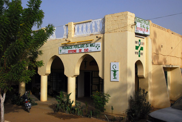 Pharmacie Populaire du Mali, Officine de Gao |
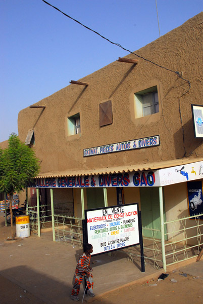 Hardware store, downtown Gao |
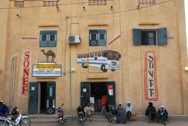 Sonef Transport Voyageurs STV Mali |
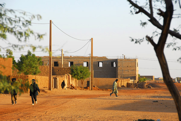
 Downtown Gao, Mali |
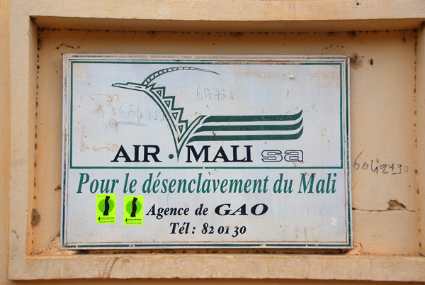 Air Mali Agence de Gao |
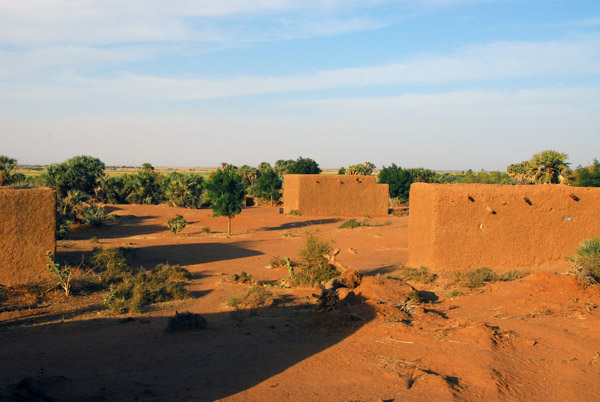
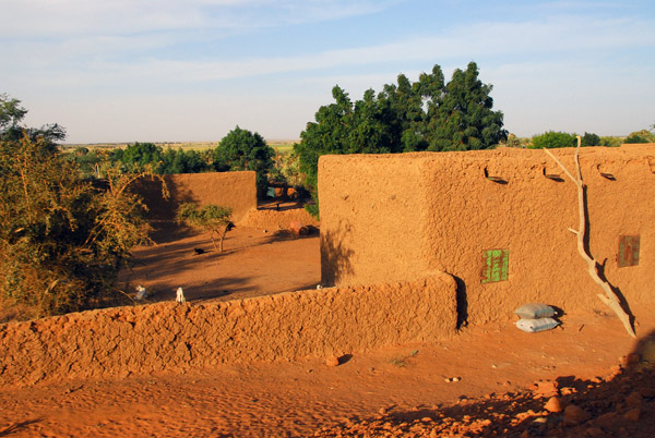
 Outskirts of Gao, where our Campement was located |
 Tizimizi Camping, Gao, Mali |
 Niger River downstream from Gao |
 Niger River downstream from Gao |
 Village along the Niger River downstream from Gao |
 Village along the Niger River downstream from Gao |
 Village along the Niger River downstream from Gao |
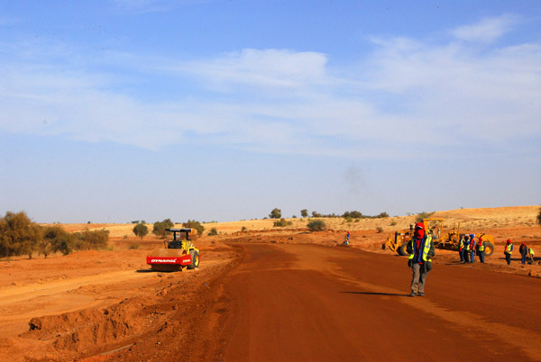
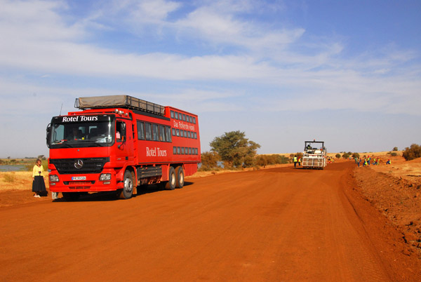
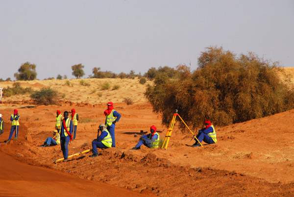
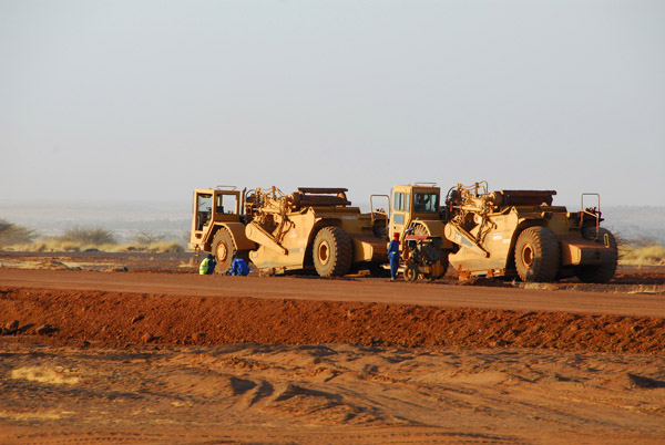 Road construction on the road from Gao towards the Niger border |
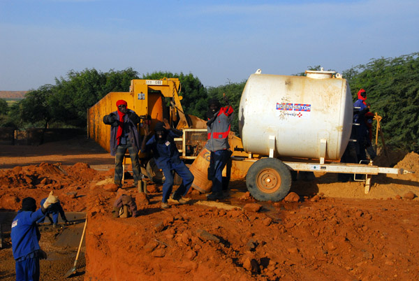 Road crew, Mali |
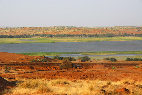 View of the Niger River, between Gao and Ansongo |
 View of the Niger River, between Gao and Ansongo |
 Desert vegetation between Gao and Ansongo, Mali |
 Mali route N17 from Gao to the border with Niger |
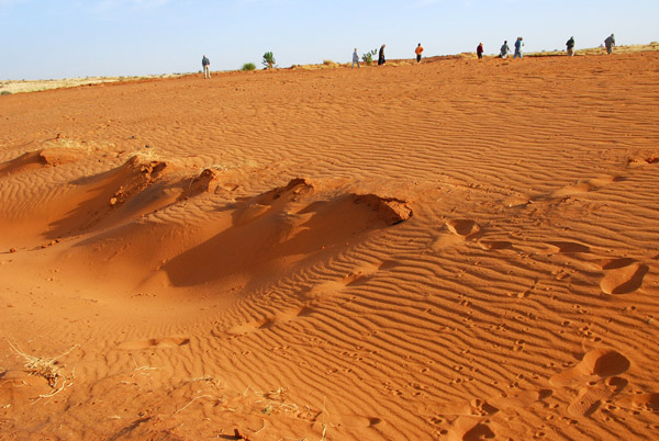
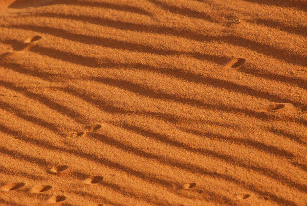 Tracks in the sand, Mali |
 Saharan sands near the banks of the Niger River, Mali |
 STV bus from Gao - Sonef Transport Voyageurs, Mali |
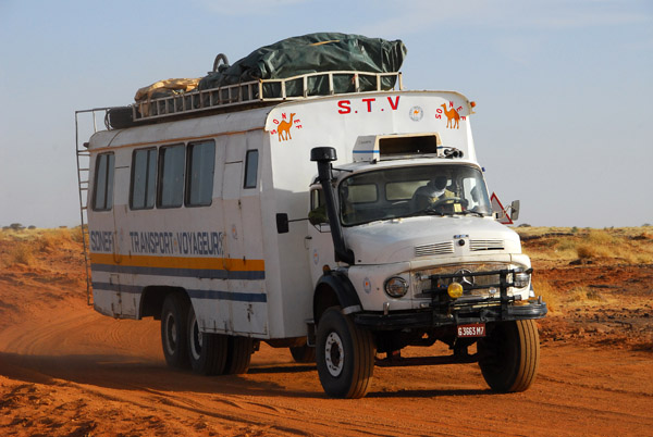 STV bus from Gao - Sonef Transport Voyageurs, Mali |
 Village a short ways south of Gao, Mali |
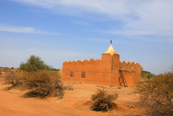
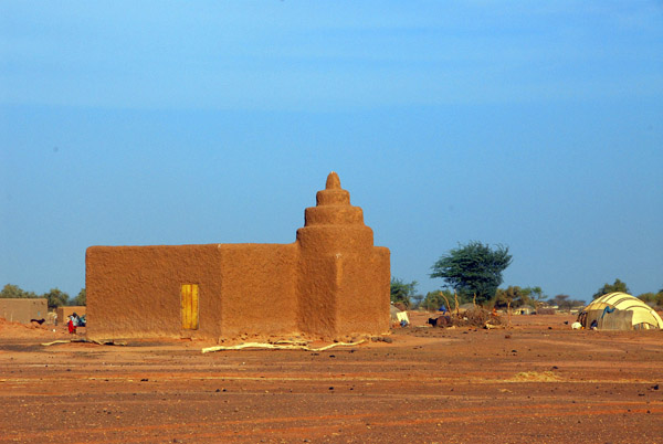 Mosque along the road less than an hour south of Gao, Mali, along the N17 |
 Village a short ways south of Gao, Mali |
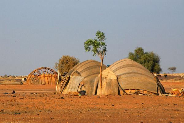
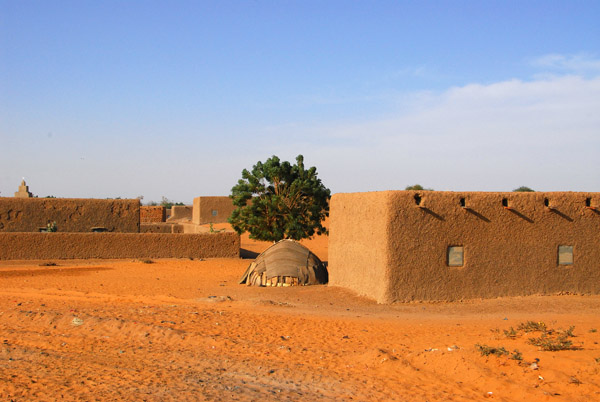
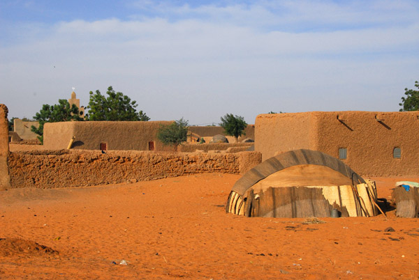
 African huts |
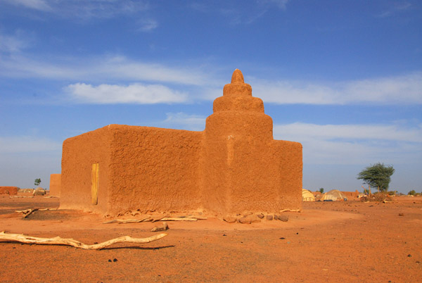
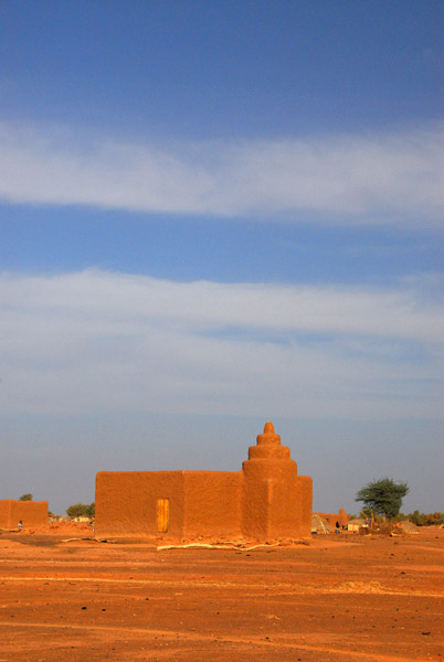 Village mosque south of Gao, Mali |
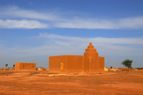 Village mosque south of Gao, Mali |
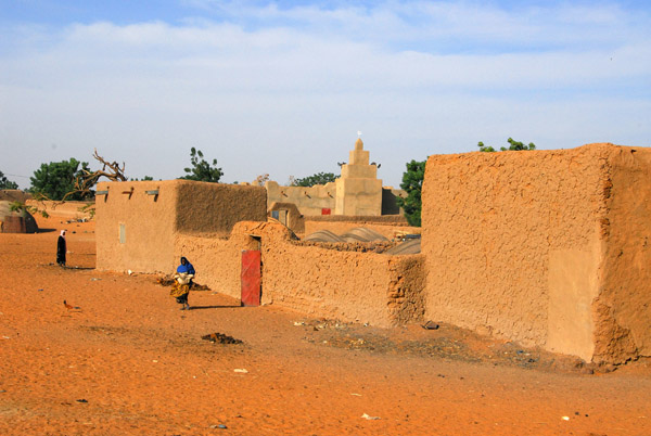
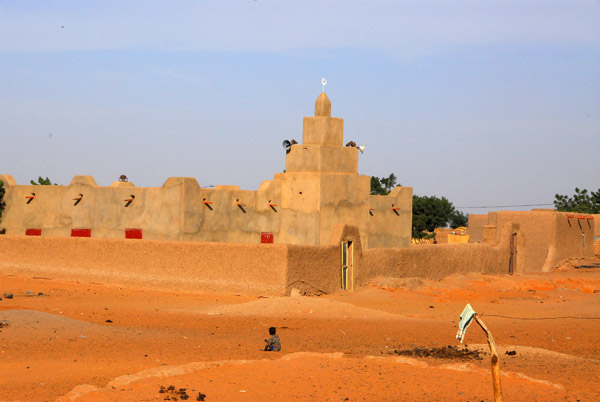
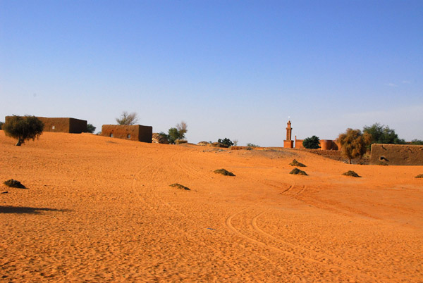
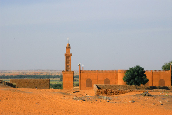
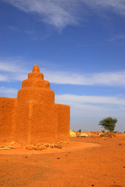 Mosque in a small village between Gao and Haoussa-Foulane |
 Mosque in a small village between Gao and Haoussa-Foulane |
 Mosque in a small village between Gao and Haoussa-Foulane |
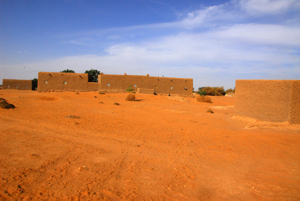
 Hut in the village between Gao and Haoussa-Foulane |
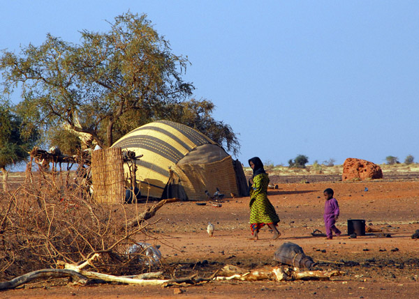
 Girl at the village |
 Mosque in a small village between Gao and the Niger frontier |
 Huts at the village we stopped at |
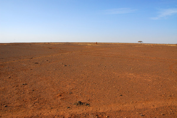 Southern end of the Sahara, eastern Mali |
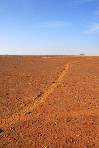 Animal trails through the desert, Mali |
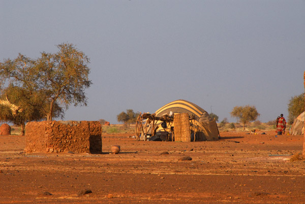
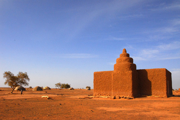
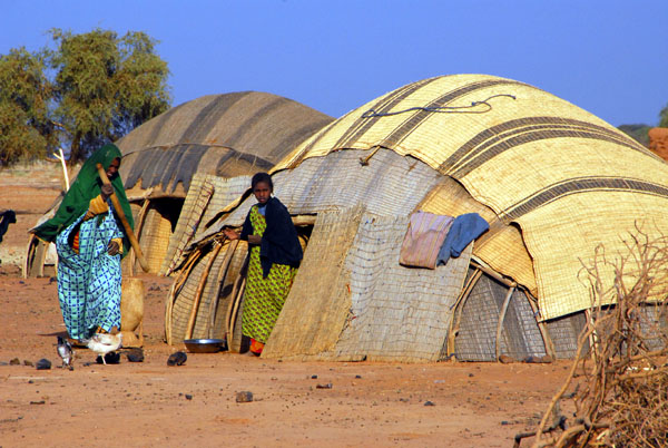
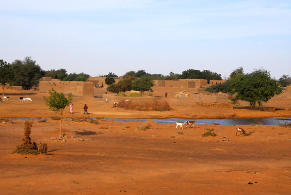 Village with a waterhole, just north of Haoussa-Foulane |
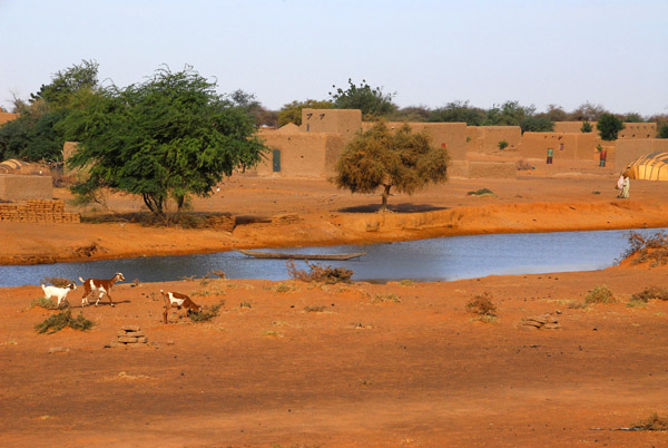 Village with a waterhole, just north of Haoussa-Foulane |
 Sand dune at huts outside Haoussa Foulane, Mali |
 Haoussa Foulane, Region de Gao, Mali |
 Haoussa Foulane, Region de Gao, Mali |
 Haoussa Foulane, Region de Gao, Mali |
 Haoussa Foulane, Region de Gao, Mali |
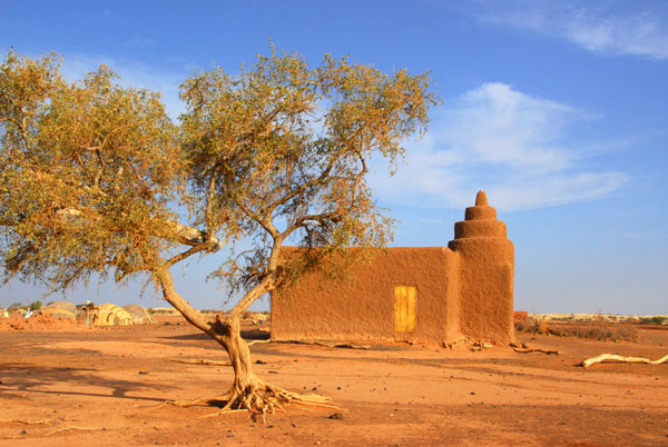
 Mosque, Haoussa Foulane, Region de Gao, Mali |
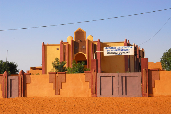 Batiment Delegation du Gouvernement Haoussa Foulane, Region de Gao, Mali |
 Niger River, Mali |
 Niger River, Mali |
 Small village mosque along the Niger River between Asongo and the Niger border |
 Eastern Mali |
 Niger River, Mali |
 An area of road improvments, N17 Gao-Niger |
 Niger River, Mali |
 Niger River, Mali |
 Niger River, eastern Mali |
 Tree near the Niger River, Mali |
 Niger River near Ansongo |
 Niger River, Mali |
 Bushpause |
 Roadcrew, eastern Mali |
 A village where the desert meets the Niger River |
 A village where the desert meets the Niger River |
 A village where the desert meets the Niger River |
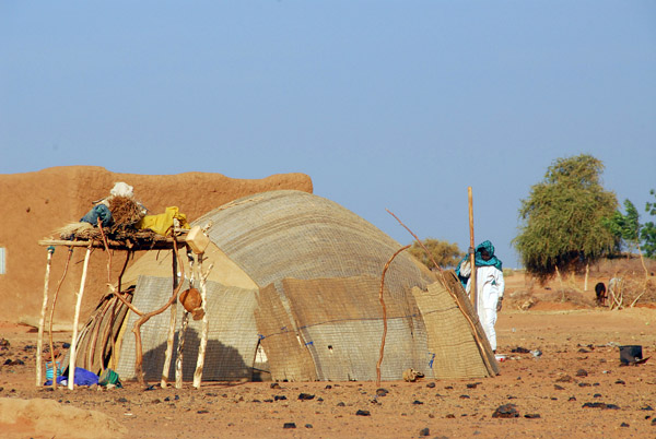
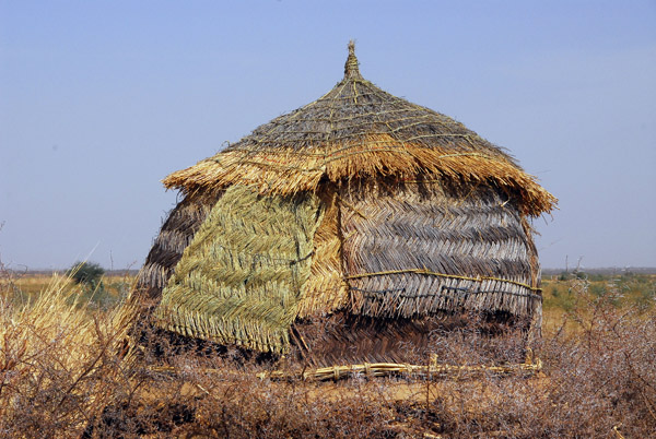
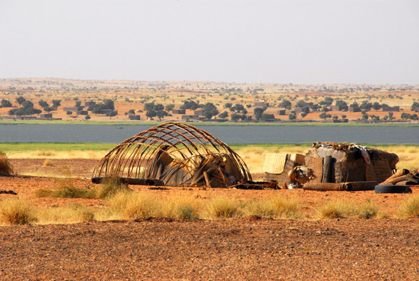 The frame of a hut without the mats |
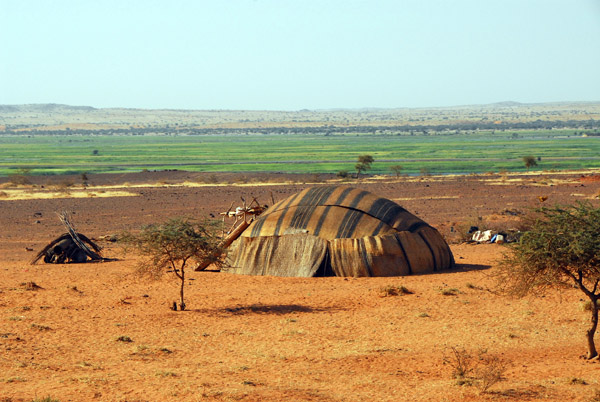 What that style of hut looks like when completed |
 Niger River valley near Ansongo, Mali |
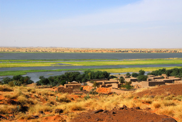
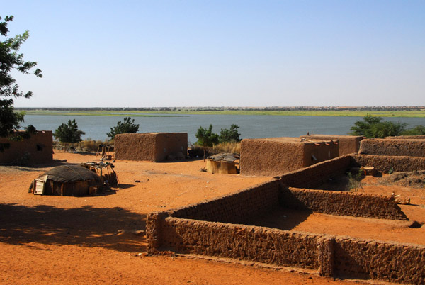 Village on the banks of the Niger River, Mali |
 Village on the banks of the Niger River, Mali |
 Village on the banks of the Niger River, Mali |
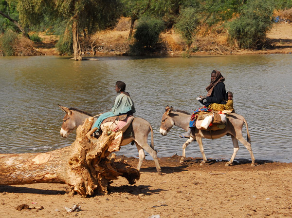
 Donkey with rider, Mali |
 Eastern Mali village |
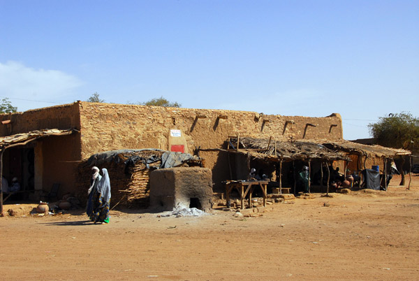
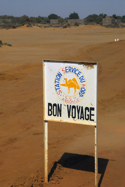 SSN Station Service du Nord - Bon Voyage - Ansongo |
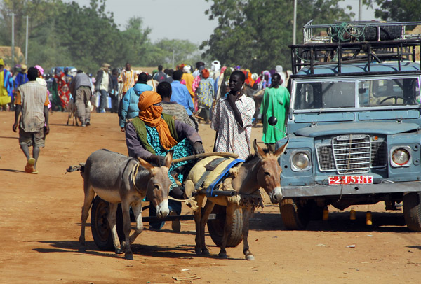
 Donkey riders, Ansongo, Mali |
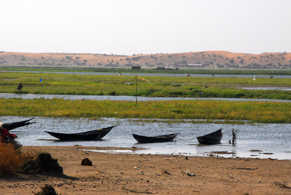
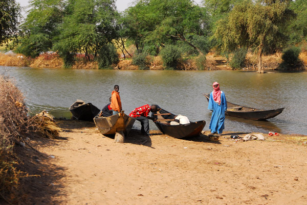 Pirogues pulled up by a side channel of the Niger River |
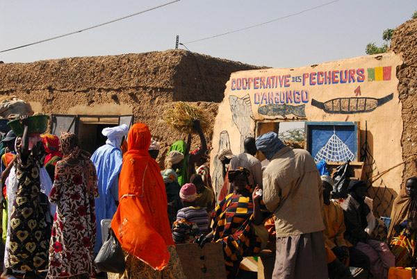
 Ansongo, Mali |
 Ansongo, Mali |
 Ansongo, Mali |
 Ansongo, Mali |
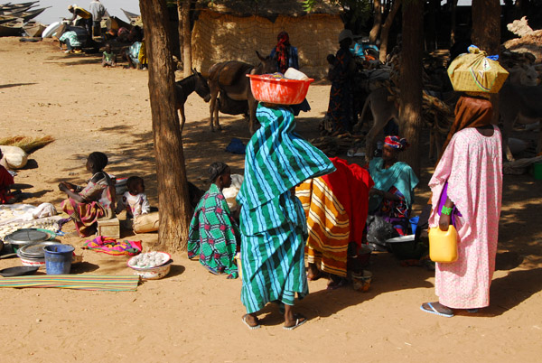
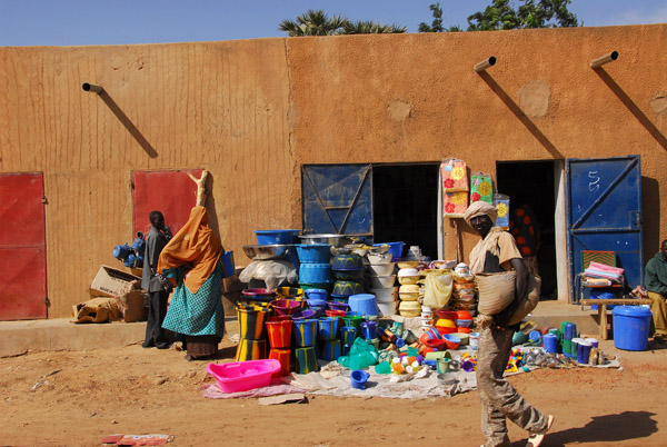
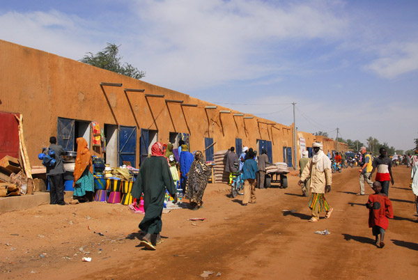
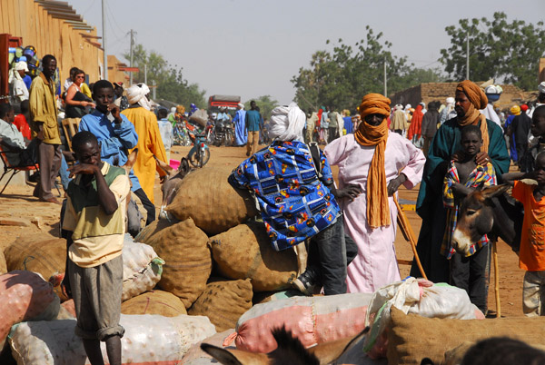
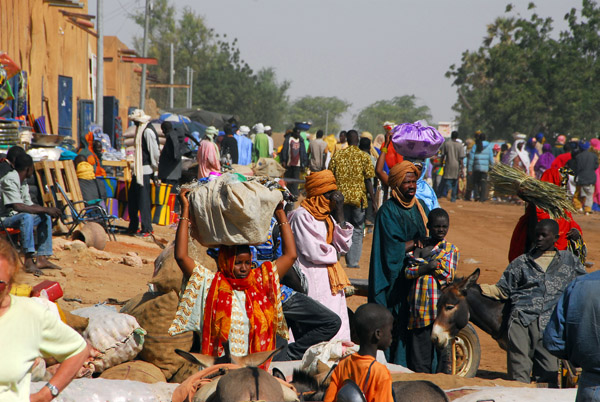
 Market Day at Ansongo, Mali |
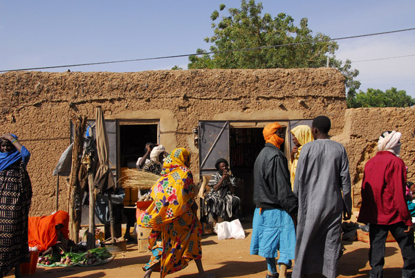 Market Day at Ansongo, Mali |
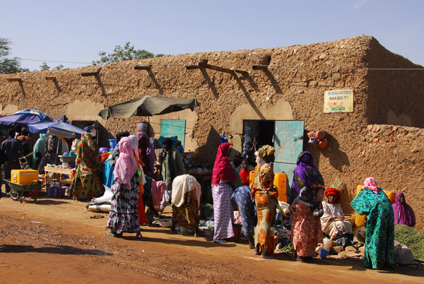 Market Day at Ansongo, Mali |
 Market Day at Ansongo, Mali |
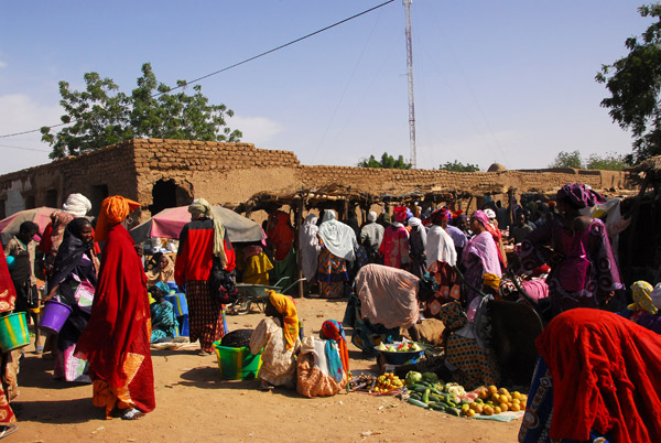 Market Day at Ansongo, Mali |
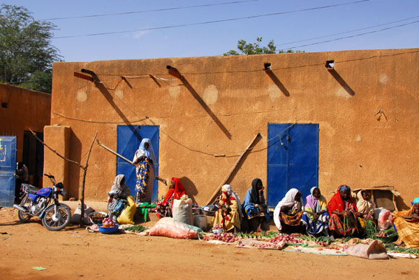 Market Day at Ansongo, Mali |
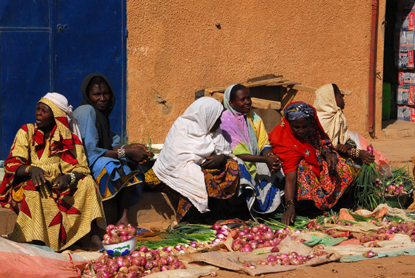 Market Day at Ansongo, Mali |
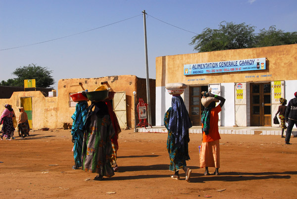
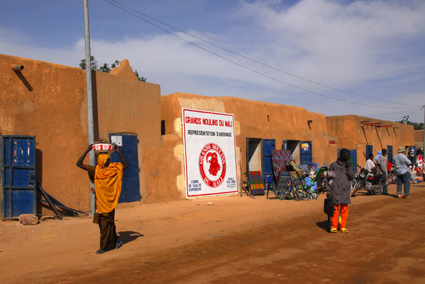 Main Street, Ansongo, Mali |
 Main Street, Ansongo, Mali |
 Main Street, Ansongo, Mali |
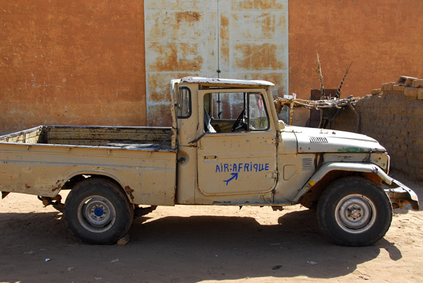 "Air Afrique" truck, Ansongo Mali |
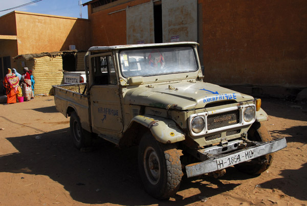 "Air Afrique" truck, Ansongo Mali |
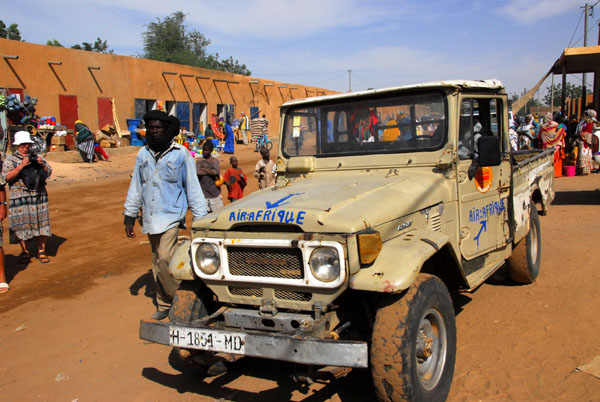 "Air Afrique", Ansongo |
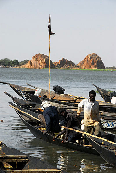 Ansongo, Niger River |
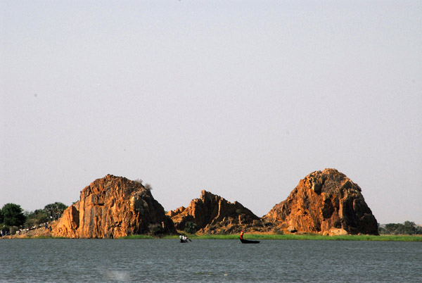 Landmark along the Niger River at Ansongo, Mali |
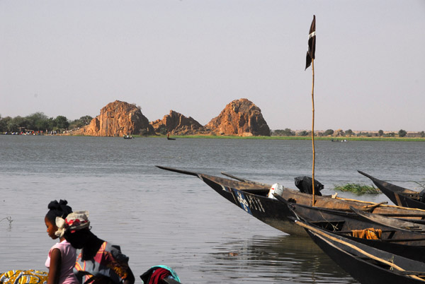 Niger River, Ansongo, Mali |
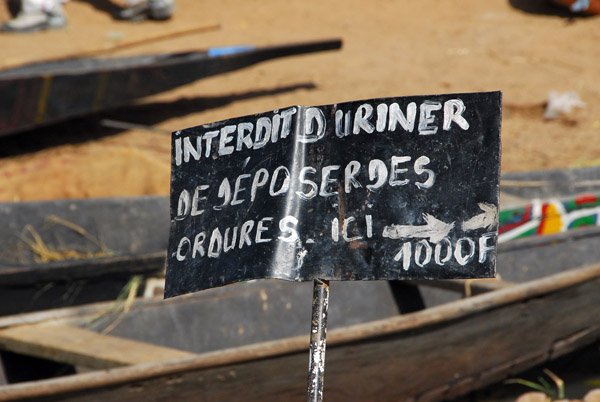 Don't Pee Here |
 Market Day, Ansongo, Mali |
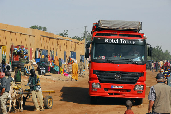 The Rotel passing through Ansongo, Mali |
 Ansongo, Mali |
 Market Day, Ansongo, Mali |
 Boy in Ansongo, Mali |
 Boy in Ansongo, Mali |
 Ansongo, Mali |
 A mosque just south of Ansongo |
 The road from Ansongo to the Niger border at Labbezanga, Mali |
 Rocky desert, Eastern Mali |
 We've covered about 2000km since the Senegal border at Kidira, not counting the detours to Dogonland or Timbuktu |
 An odd back mountain, eastern Mali |
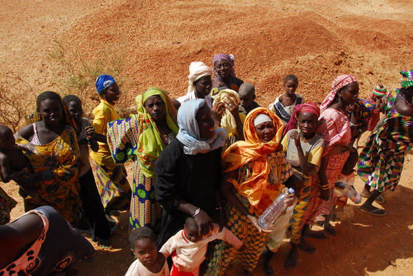
 Filling jugs at a waterhole, Eastern Mali |
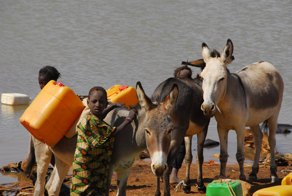 Loading donkeys to carry jugs of water |
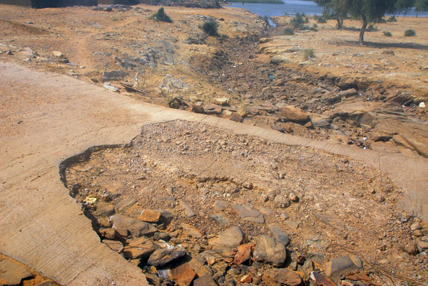
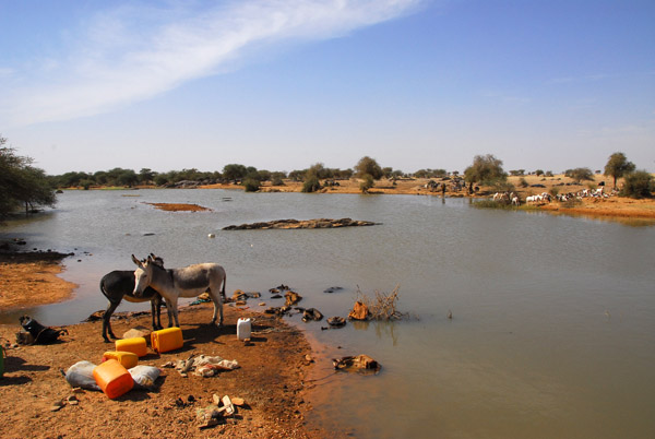 A large waterhole, not far from the Niger border, Mali |
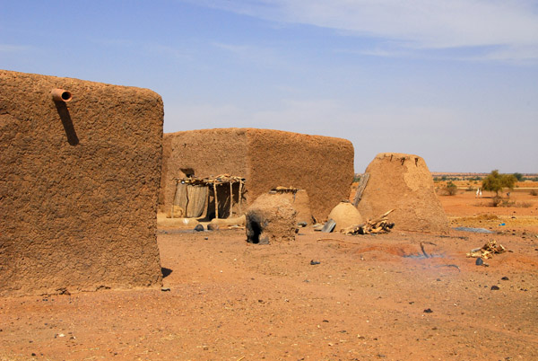 The last village of our visit to Mali |
 The kitchen |
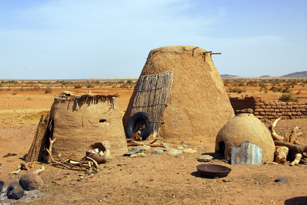 The kitchen |
 The last village of our visit to Mali |
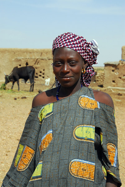 Woman, eastern Mali |
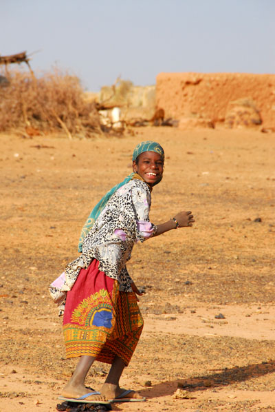
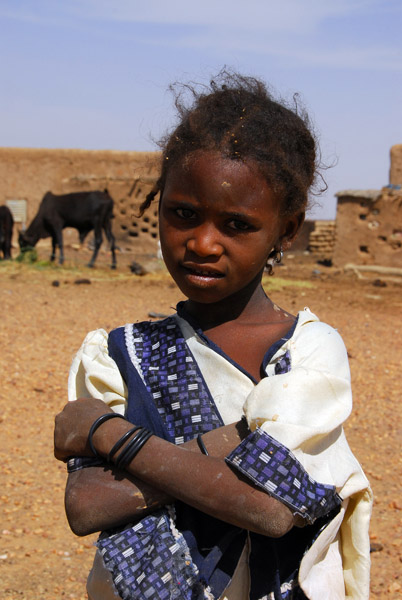 Girl, eastern Mali |
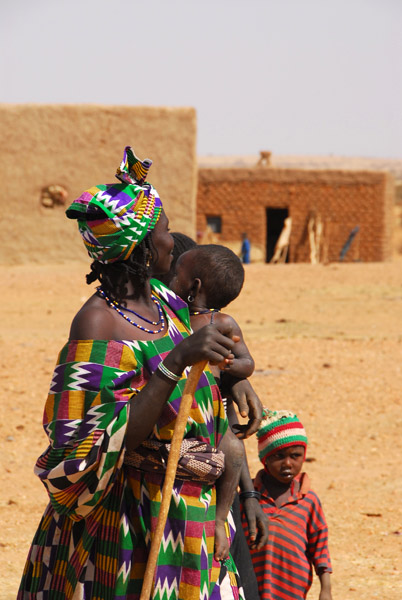 Woman with children, eastern Mali |
 A family, eastern Mali |
 Once again, the villagers see us off |
 The road crews definitely haven't made it this far |
 Field near the Mali-Niger border |
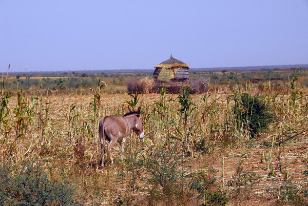
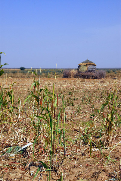 Millet field, Mali |
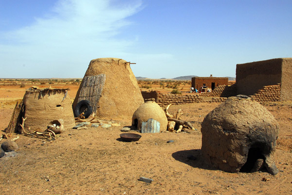
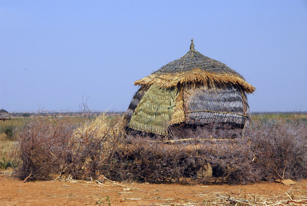 Here along the Mali-Niger border, we found the first examples of a new type of granary |
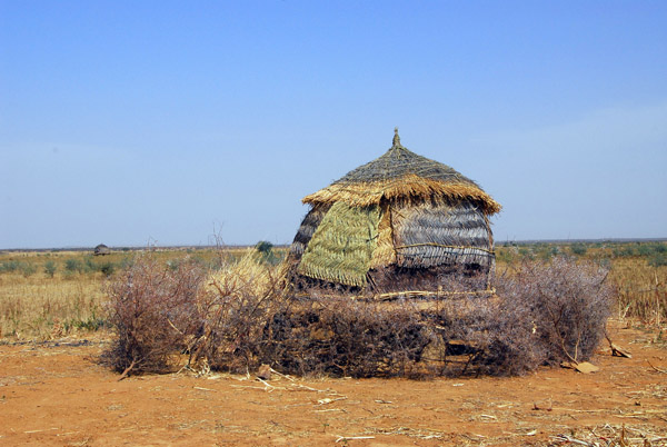 The granary is located right in the field, not in the village |
 Granary, very different in style from the Dogon granaries |
| comment | share |
| Guest | 15-Jul-2008 13:52 | |