


|
|
|
|
|
|
| Brian McMorrow | profile | all galleries >> Europe >> Norway >> Bergen to Sogndal | tree view | thumbnails | slideshow |
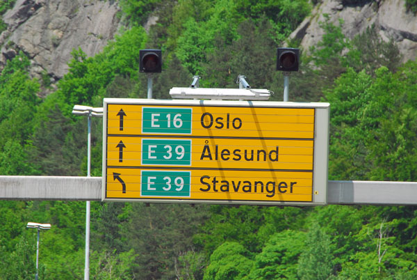 Leaving Bergen on the E16 for a drive through the Central Fjords |
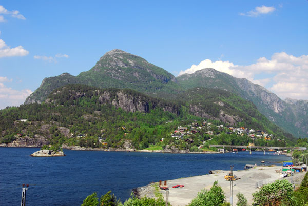
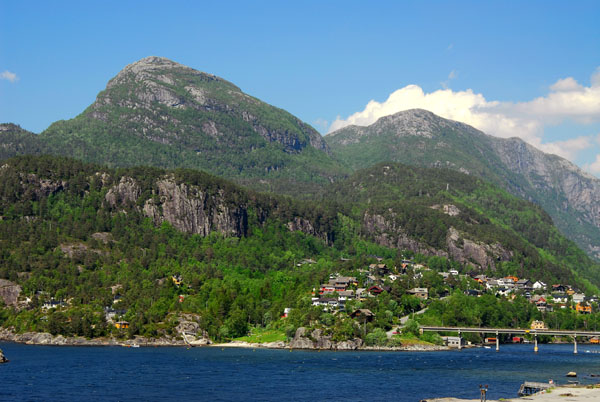
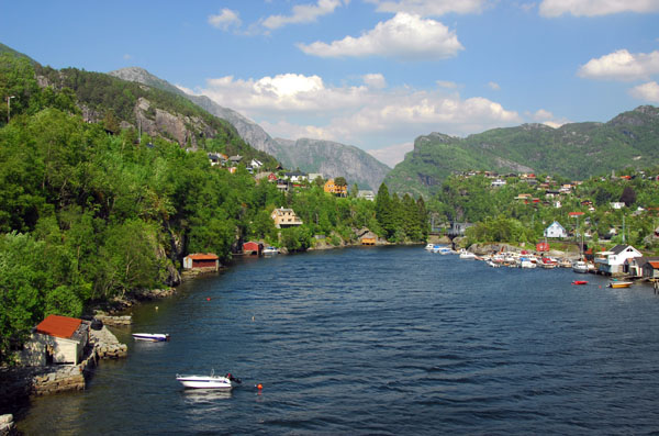
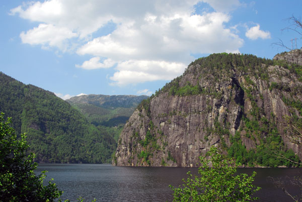
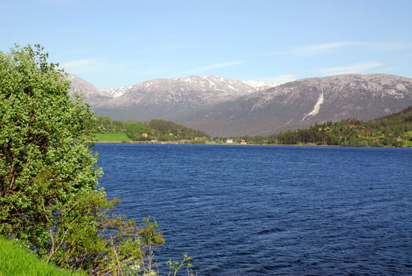
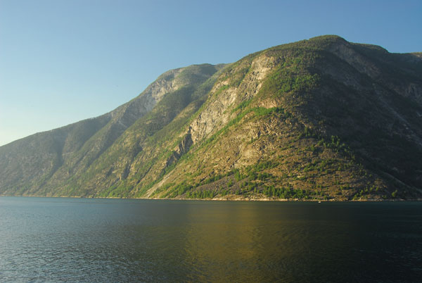
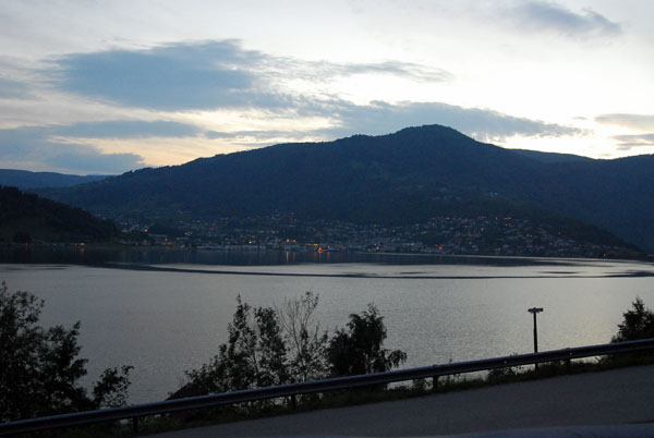
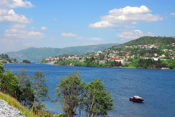 Sørfjorden |
 Sørfjorden outside Bergen |
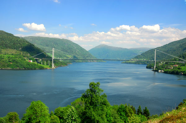
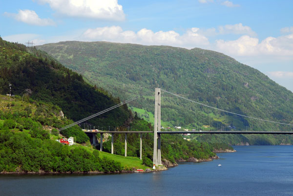 Osterøya Bridge (rte 566) |
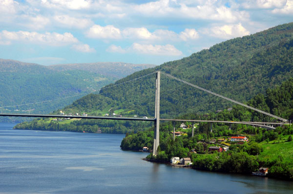 Osterøya Bridge (rte 566) |
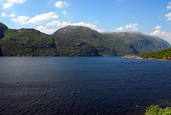
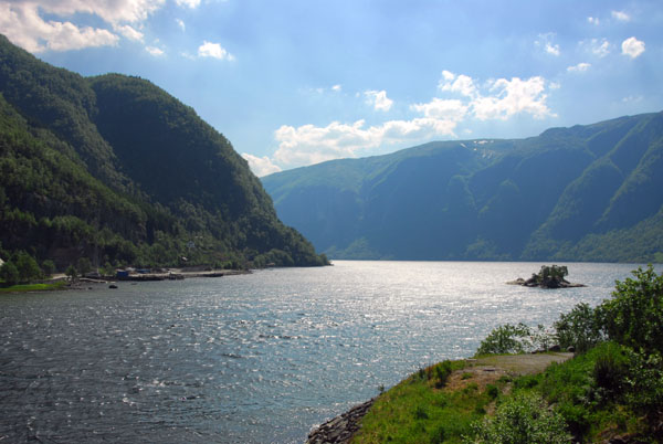
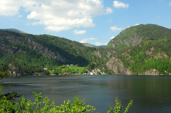
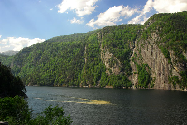
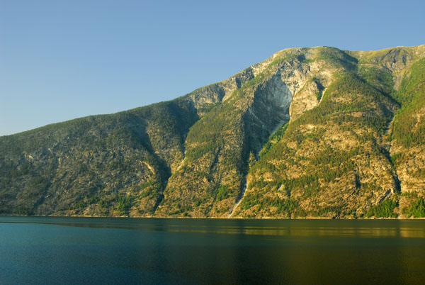
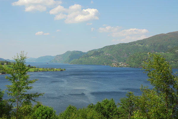 Veafjorden |
 Veafjorden |
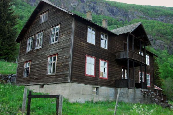
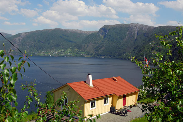 House overlooking Veafjorden |
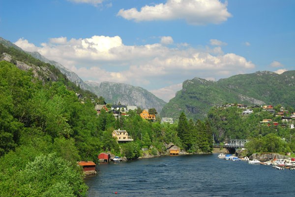
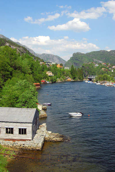
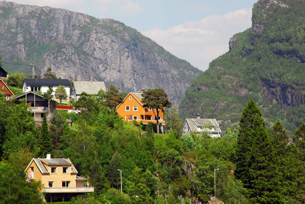
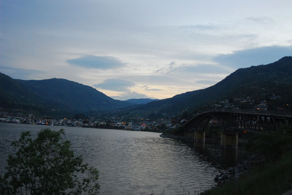
 Stanghelle |
 Stanghelle |
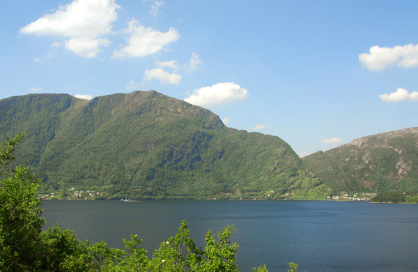
 Veafjorden |
 Veafjorden |
 Stanghelle |
 Stanghelle |
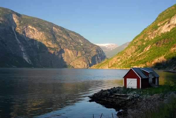
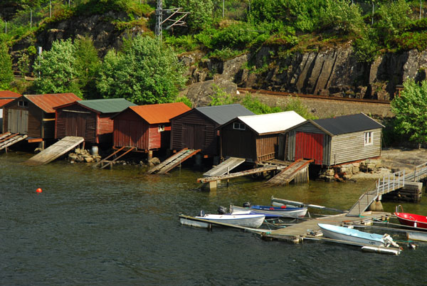 Boathouses, Stanghelle |
 Stanghelle |
 Stanghelle |
 Stanghelle |
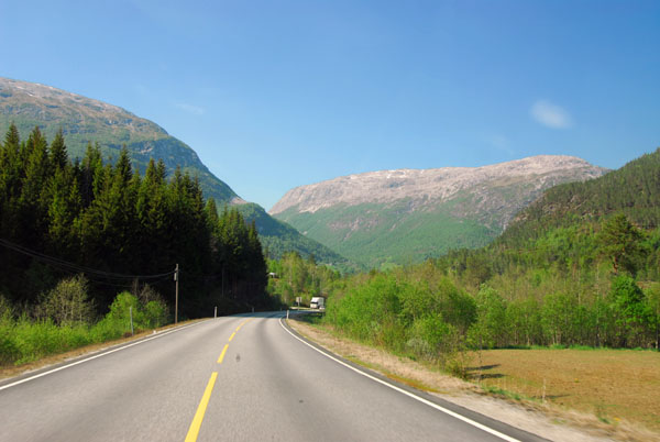
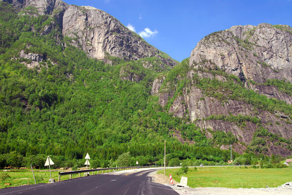 E16 around Dale |
 E16 around Dale |
 E16 around Dale |
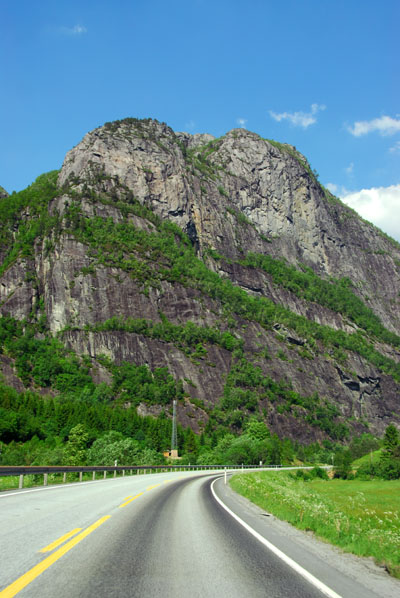
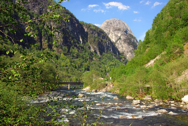
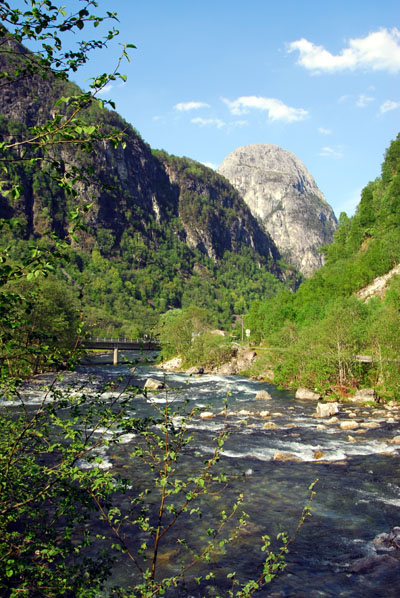
 Between Dale and Evanger |
 Between Dale and Evanger |
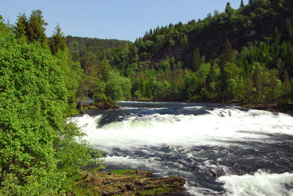
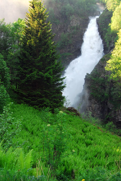
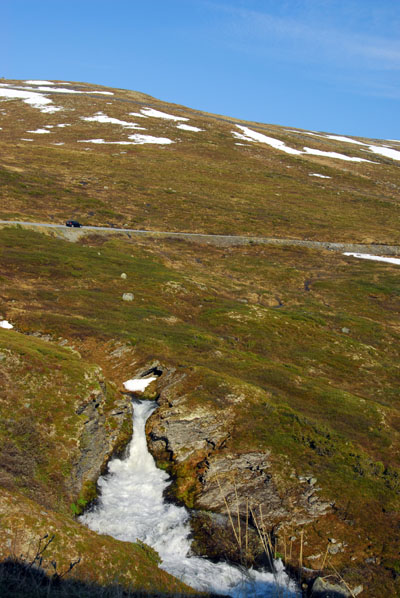
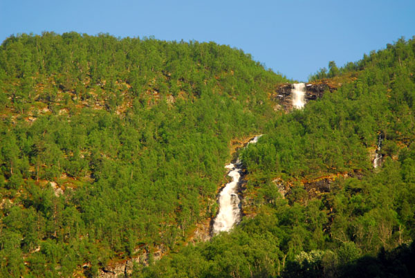
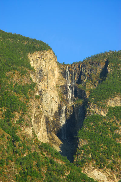
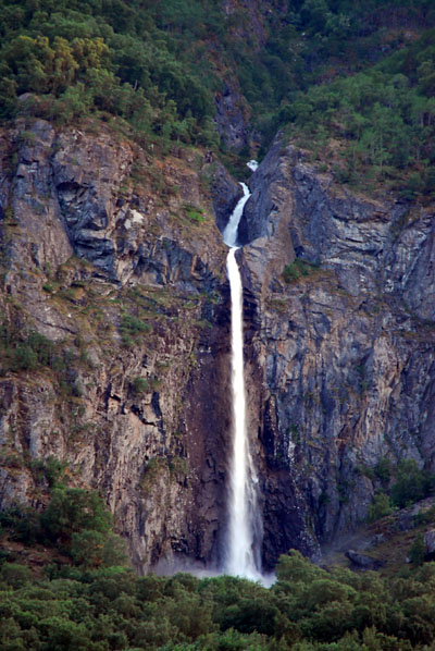
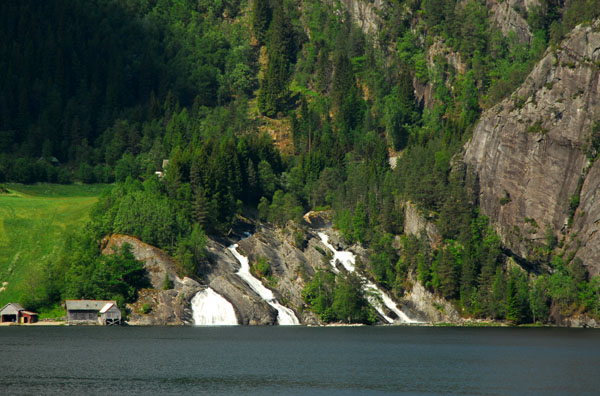 Waterfall, Between Dale and Evanger |
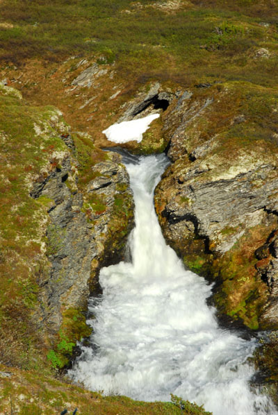
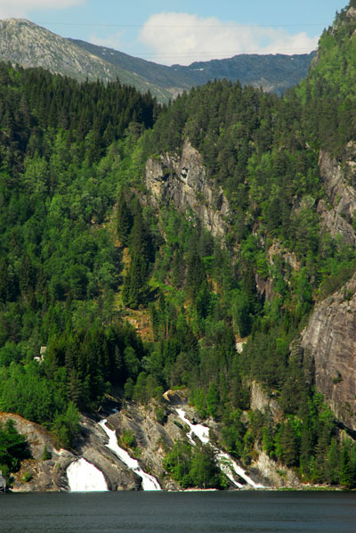 Waterfall, Between Dale and Evanger |
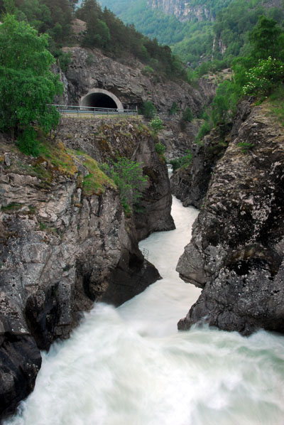
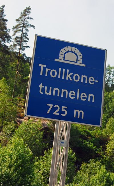 Trollkonetunnelen (725m) |
 Between Dale and Evanger |
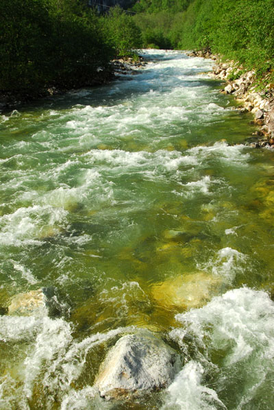
 Vosso River between Evanger and Vangsvatnet |
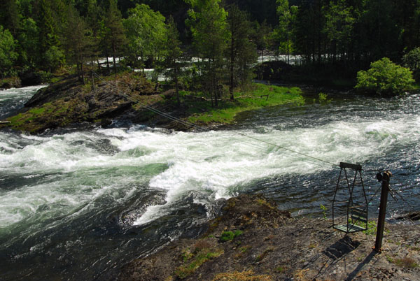 Hand pulled seat to cross the Vosso River |
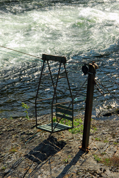 Vosso River crossing |
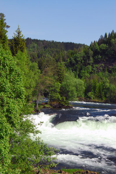 Vosso River |
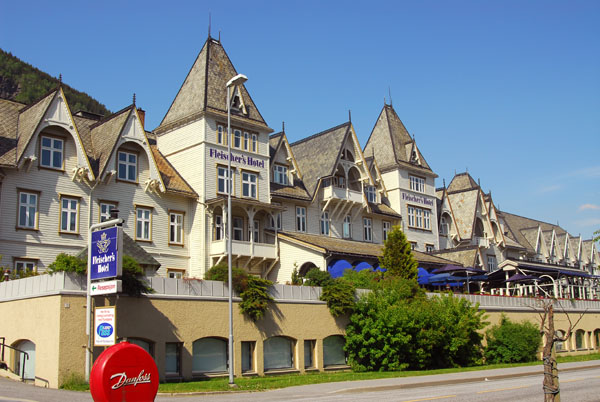 Fleischer's Hotel, Voss, Norway |
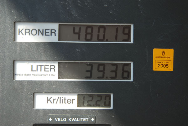 12.20 nkr/liter = 1.47 €/liter = $7/US gallon |
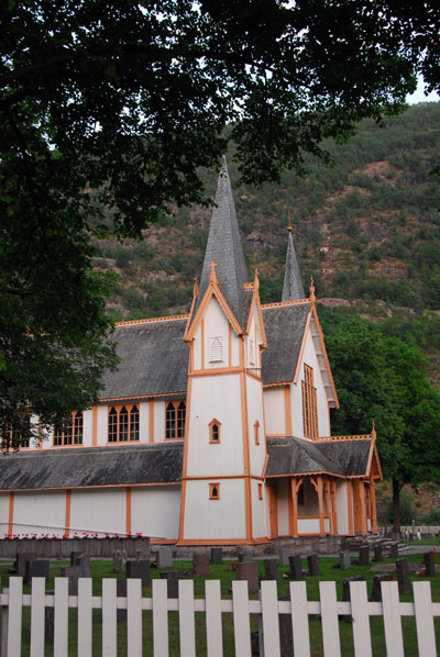
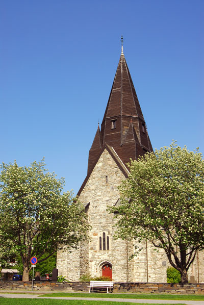 Church, Voss |
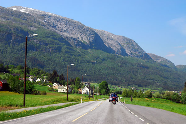 Continuing on the E16 out of Voss towards Gundvangen |
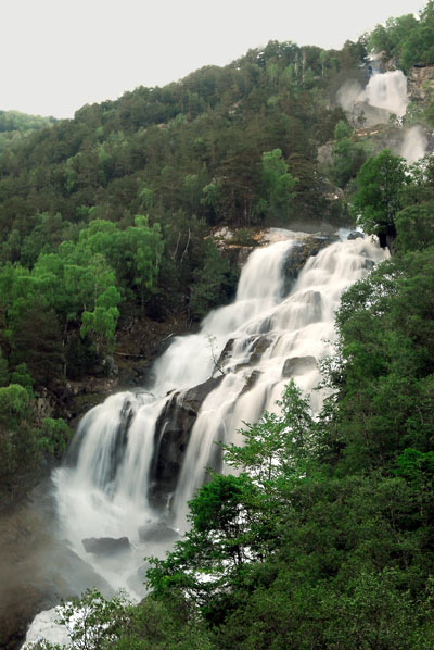
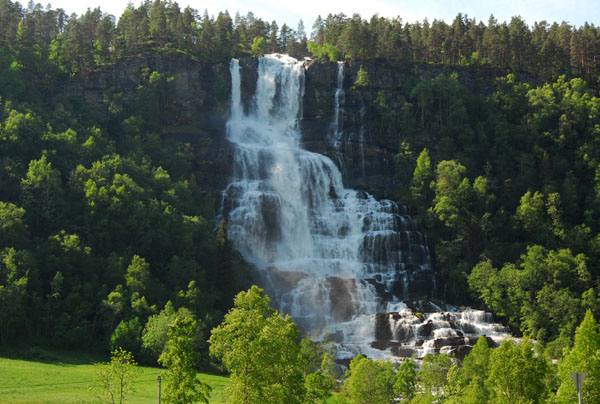 Tvinnefoss (Tvindefossen) |
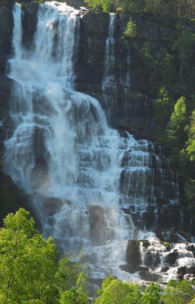 Tvinnefoss (Tvindefossen) |
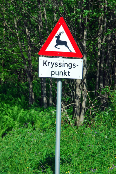 Norwegian deer crossing point |
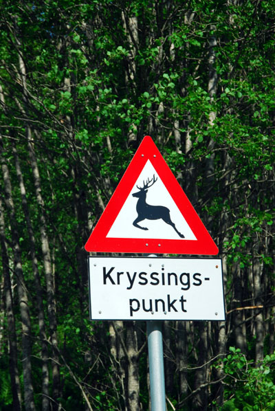 Kryssingspunkt sign |
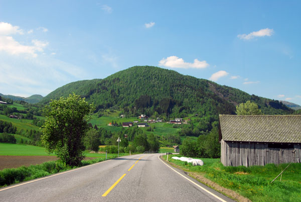 E16 between Tvinnefoss and Oppheim |
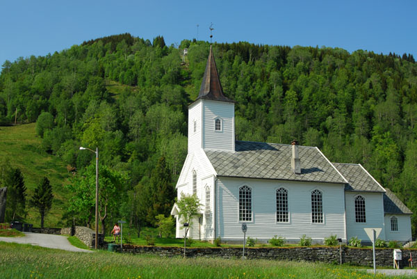 Oppheim church |
 Oppheimsvatn |
 E16 northeast of Oppheim |
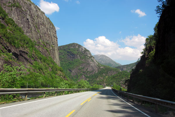
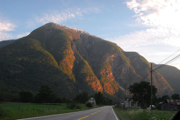
 Approaching the scenic Nærøydalen |
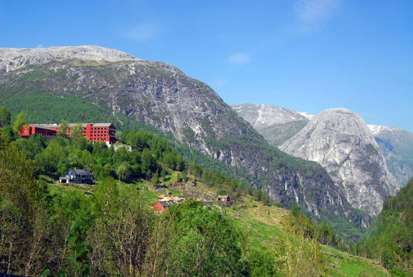 Stalheim Hotel high above the valley floor |
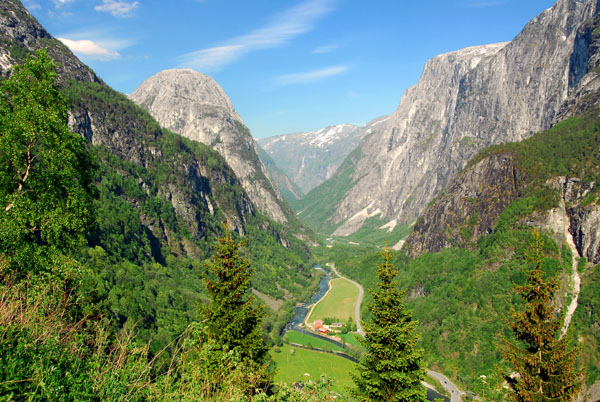
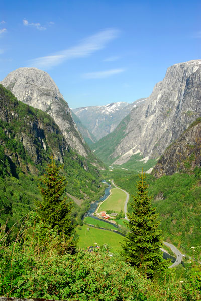
 View from the terrace of the Stalheim Hotel looking down the Nærøydalen |
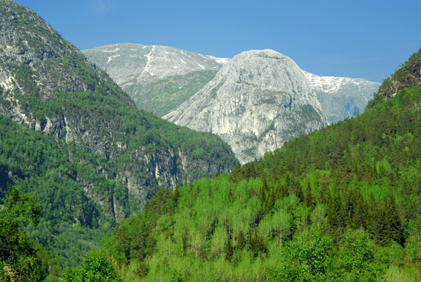
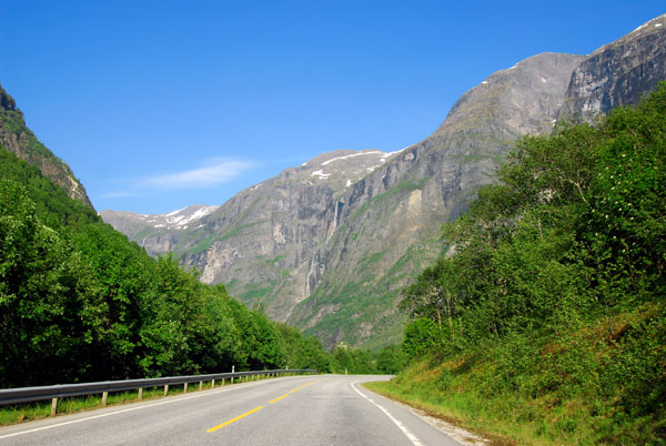
 Nærøydalen |
 Nærøydalen |
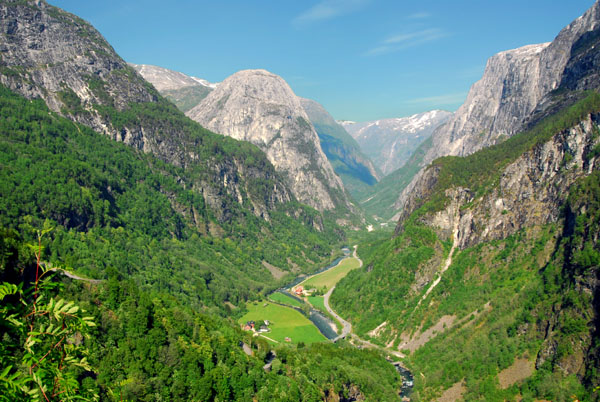
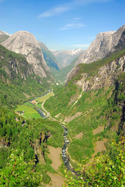
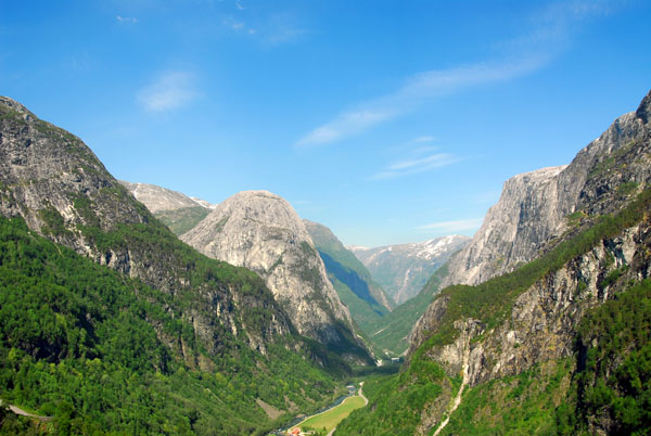
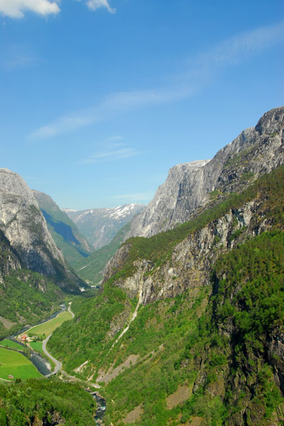
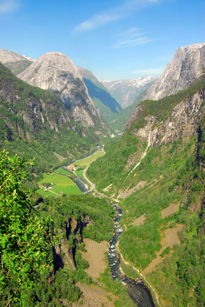
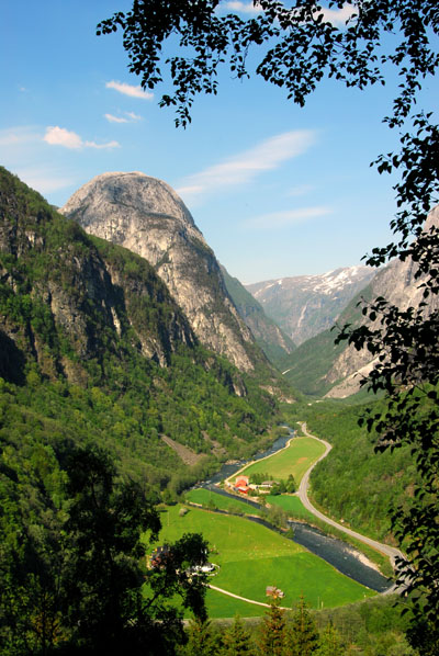
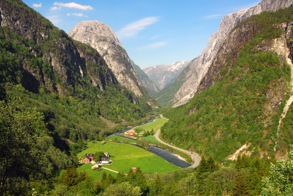
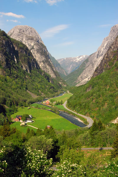
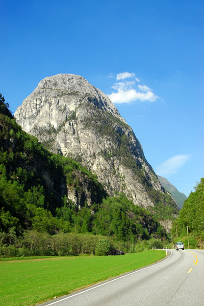
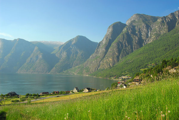
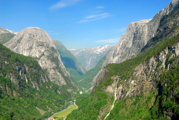 Nærøydalen - one of Norway's famous scenic views |
 Nærøydalen |
 Green tree covered mountains above Nærøydalen |
 Nærøydalen |
 Nærøydalen |
 Nærøydalen |
 The E16 far below the Stalheim Hotel |
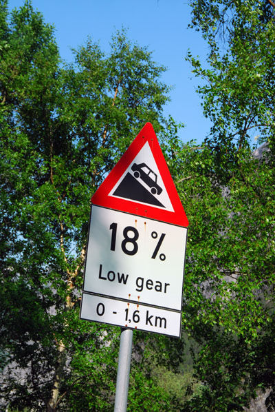 Stalheimskleiva descending 18% to Nærøydalen |
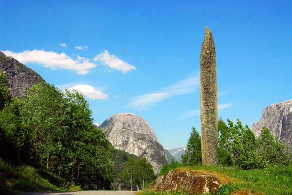 Runestone style carved monolith marker on the Stalheimskleiva descent from the Stalheim Hotel to Nærøydalen valley floor |
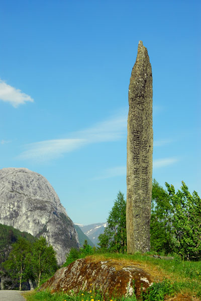 Carved monolith, Stalheimskleiva |
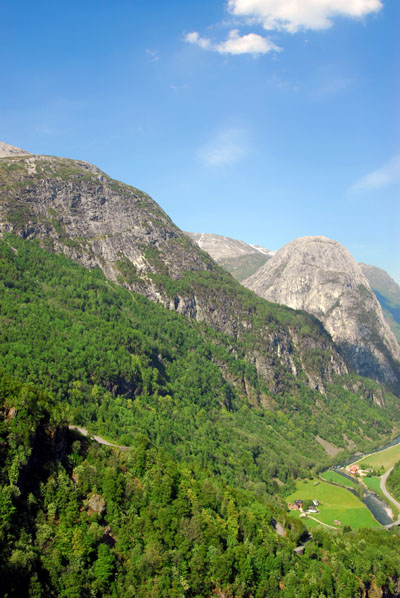
 Nærøydalen |
 Nærøydalen |
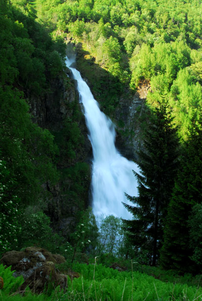 Waterfall, Stalheimskleiva |
 Nærøydalen |
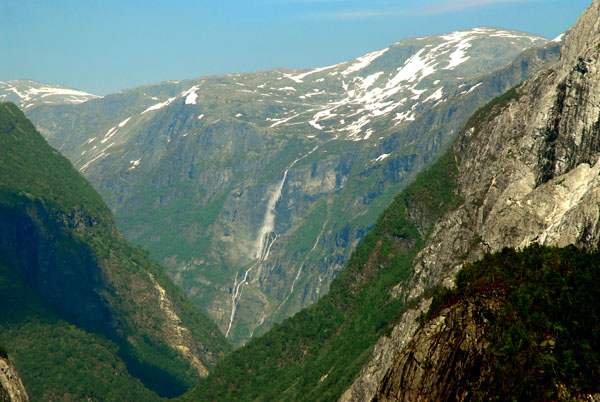
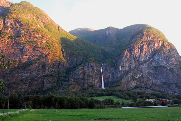
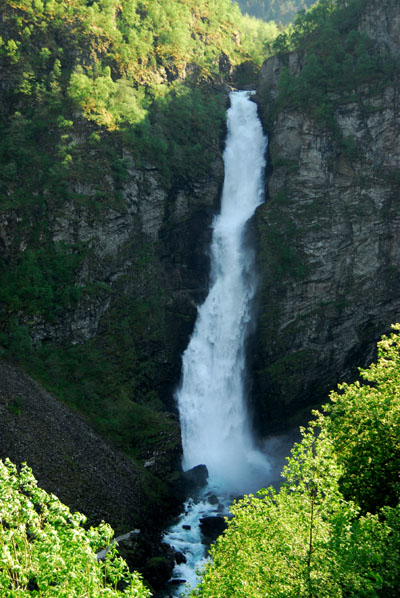 Sivlefossen |
 Nærøydalen |
 Nærøydalen |
 Waterfall, Stalheimskleiva |
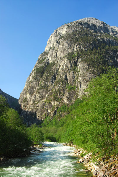
 River flowing through Nærøydalen |
 Nærøydalen |
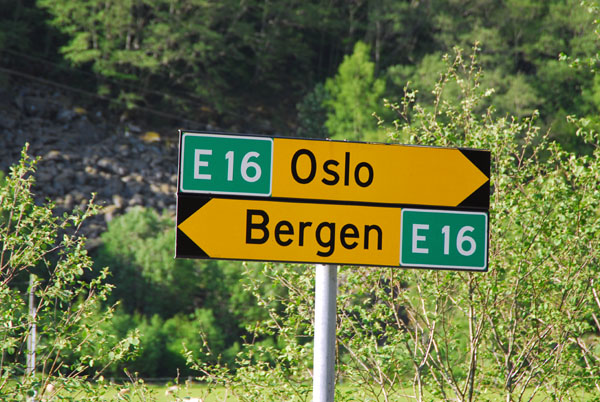 Back on the E16 between Bergen and Oslo |
 E16, Nærøydalenvegen |
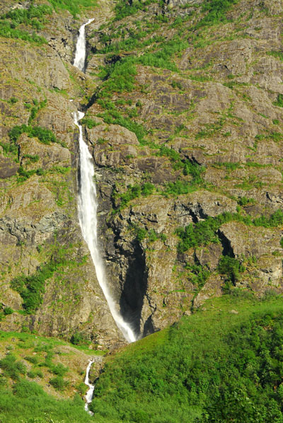
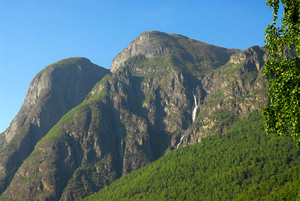
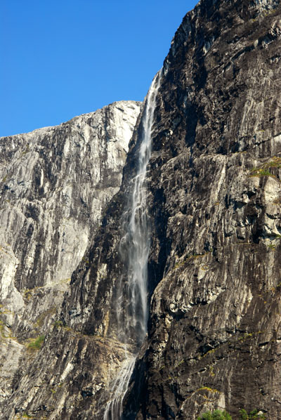 Waterfall, Nærøydalen |
 Waterfall, Nærøydalen |
 River, Nærøydalen |
 River, Nærøydalen |
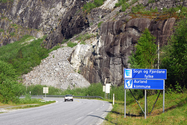 Entering Aurland district on the E16 |
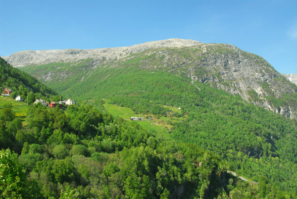
 Aurland district |
 Nærøydalenvegen |
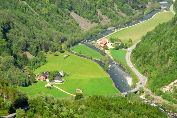
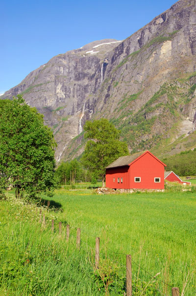
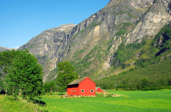 Cultivated valley floor with red barn, Nærøydalen |
 Nærøydalen |
 Nærøydalenvegen |
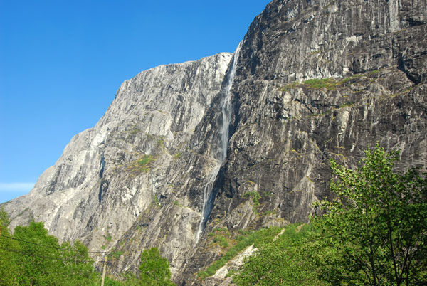
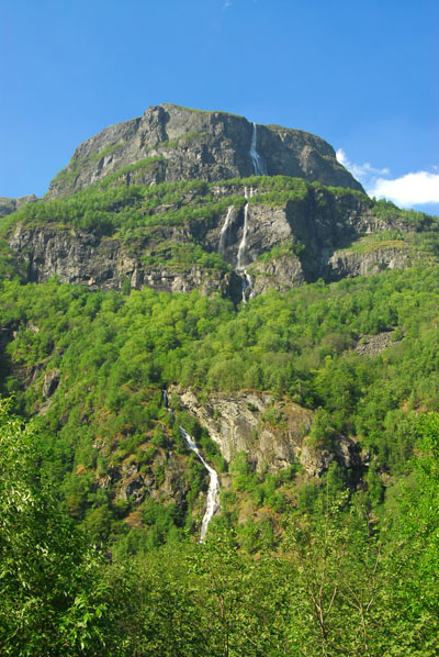
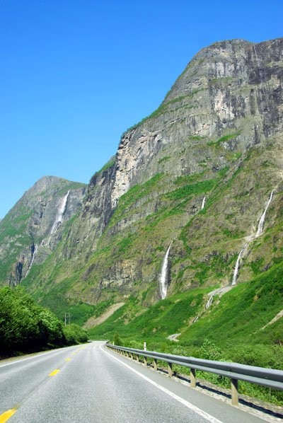
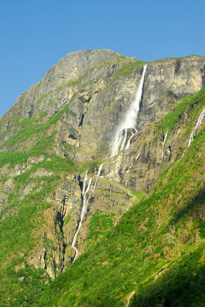
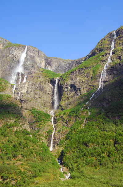
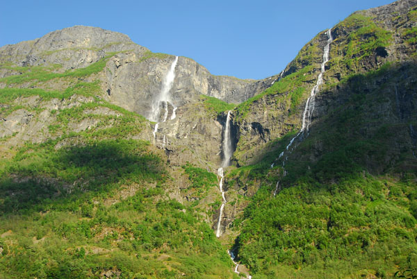
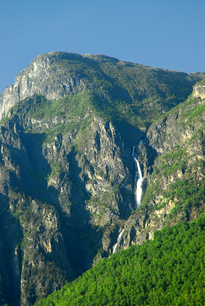
 Waterfalls tumbling down the cliffs into Nærøydalen |
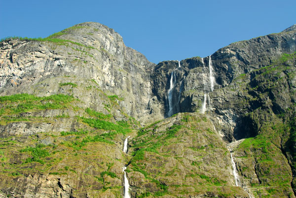
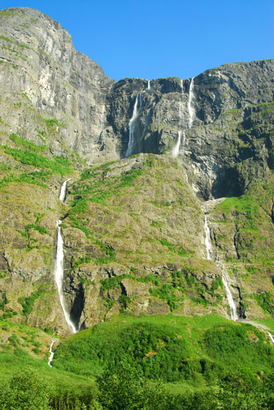 More waterfalls |
 More waterfalls |
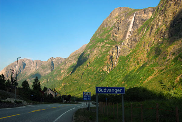 Gudvagen |
 Gudvagen |
 Gudvagen |
 Gudvagen |
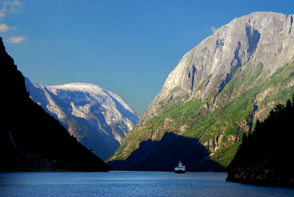 Nærøyfjorden at Gudvangen |
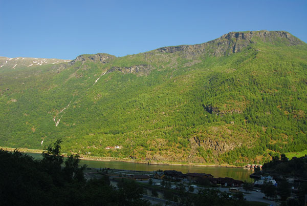 Mountain shadows overtaking Flåm |
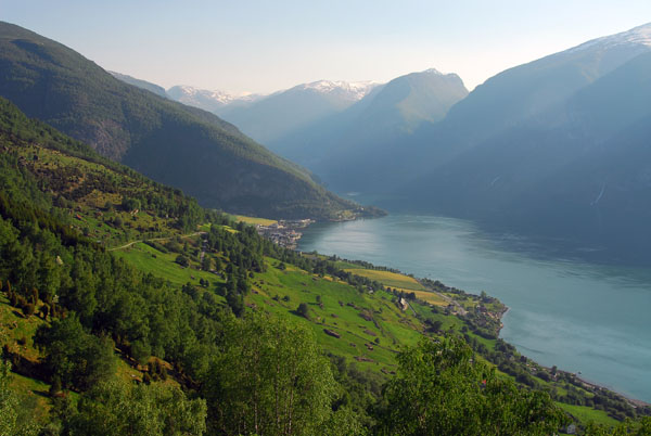
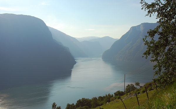
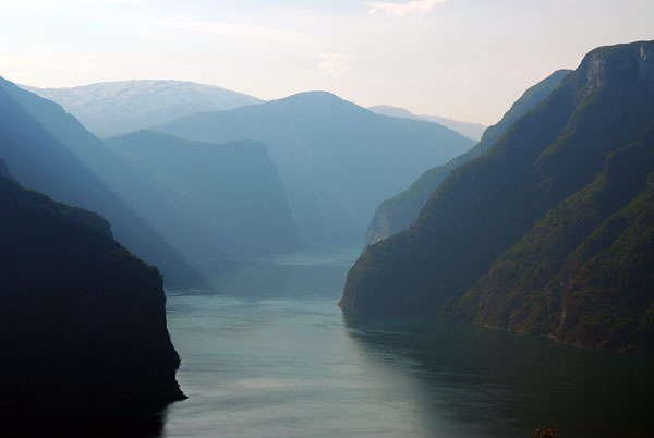
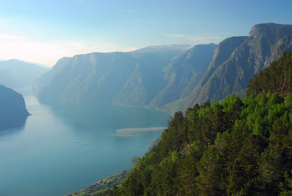
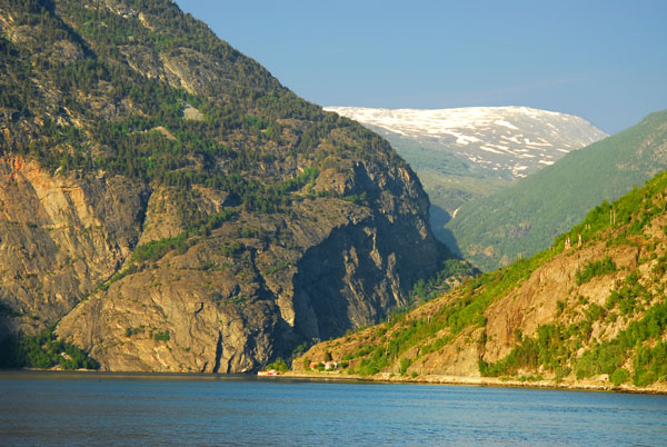
 Aurlandfjorden |
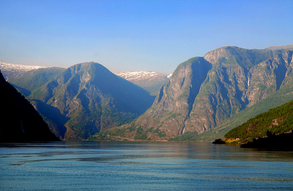 Aurlandfjorden |
 Aurlandfjorden |
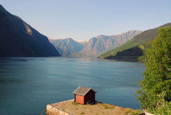
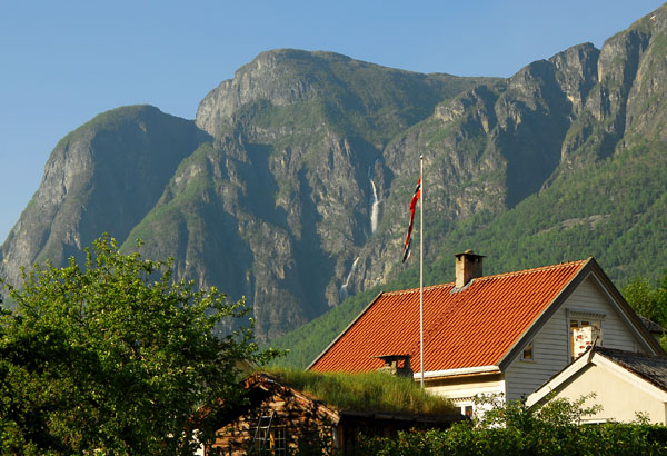
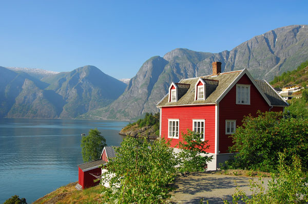 Red house overlooking Aurlandfjorden |
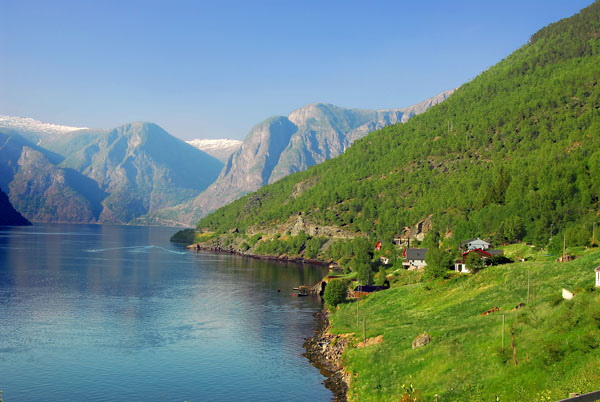
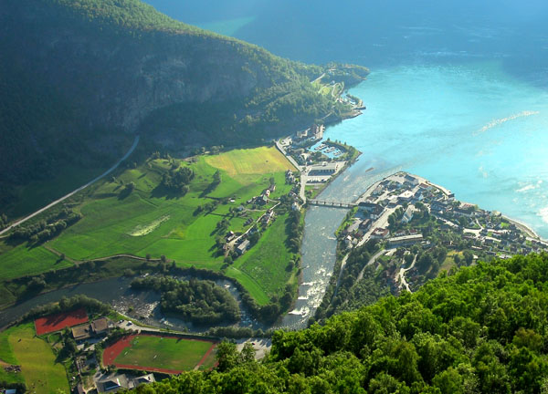
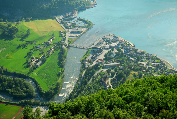
 Aurland |
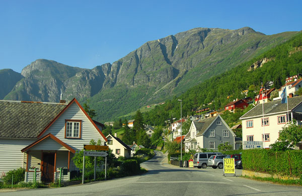 Aurland |
 Aurland |
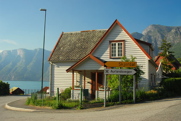
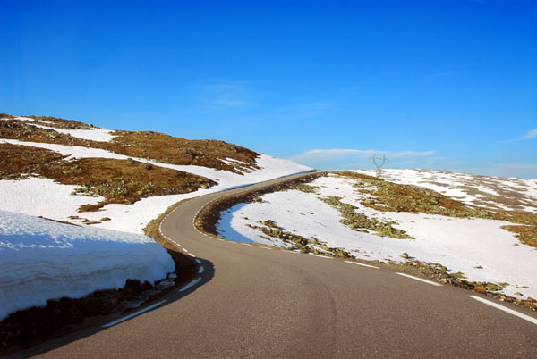
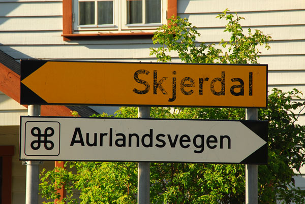 Aurlandsvegen, the old "snow route" over the mountains, replaced by the new 24.5 km Lærsdaltunnelen |
 Map showing the route of the Aurlandsvegen |
 Aurlandsvegen climbing up from the fjord |
 Aurlandsvegen |
 Aurlandsvegen |
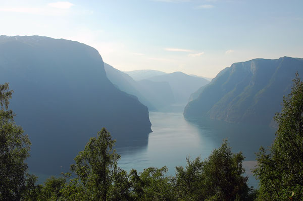
 Aurlandsfjord looking back towards Flåm |
 Aurlandsfjorden looking north |
 Aurlandsfjorden looking north |
 Farm on the steep hillside above Aurland |
 Aurlandsfjorden |
 Aurlandsfjorden |
 Aurlandsvegen |
 Bjørgo Lookout from the Aurlandsvegen high above the fjord and town of Aurland |
 Lookout from the Aurlandsvegen high above the fjord and town of Aurland - 6km by road |
 Aurlandsfjorden |
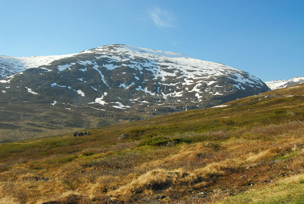
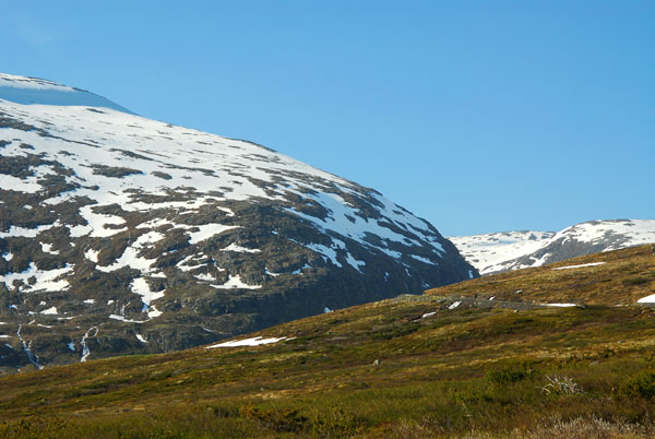
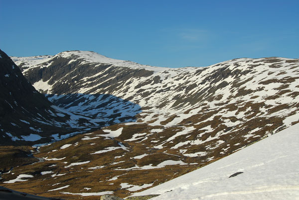
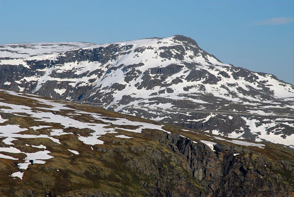
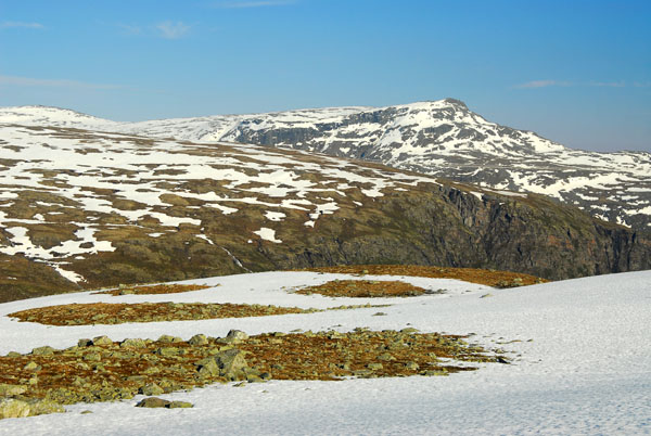
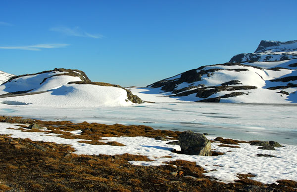
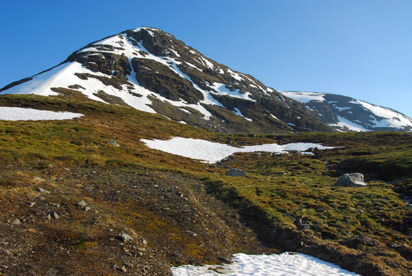
 Highlands along the Aurlandsvegen |
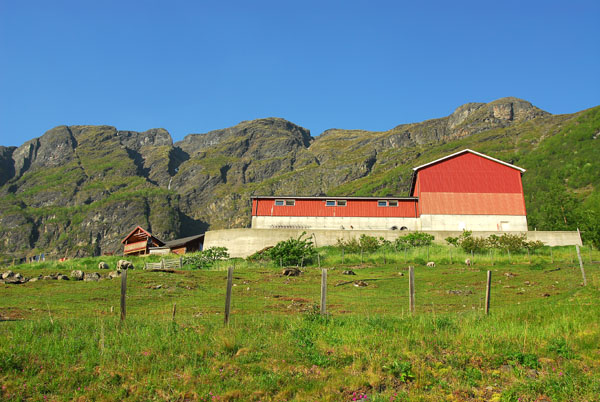
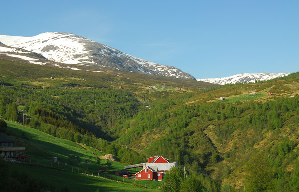
 Barn, Aurlandsvegen |
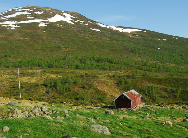 Highlands, Aurlandsvegen |
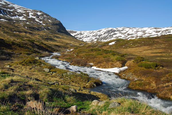
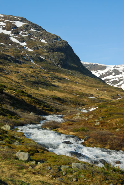
 Rushing mountain stream |
 Aurlandsvegen |
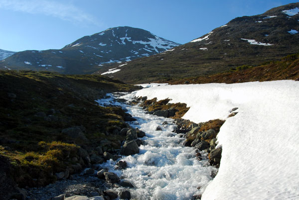 Snowmelt fed stream, Aurlandsvegen highlands |
 Snowmelt fed stream, Aurlandsvegen highlands |
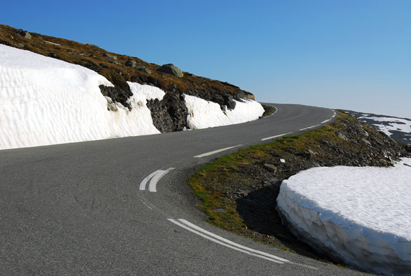
 Aurlandsvegen |
 If you have time, the Aurlandsvegen is a worthwhile detour over the Lærdalstunnelen |
 Aurlandsvegen |
 Aurlandsvegen |
 Aurlandsvegen |
 Aurlandsvegen |
 Aurlandsvegen |
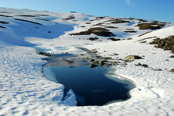
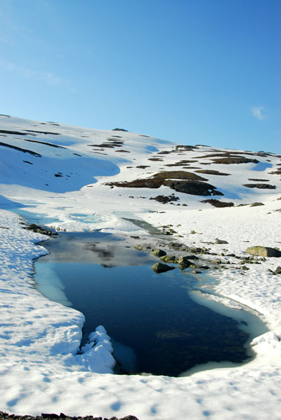
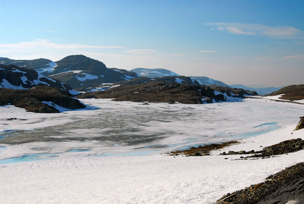
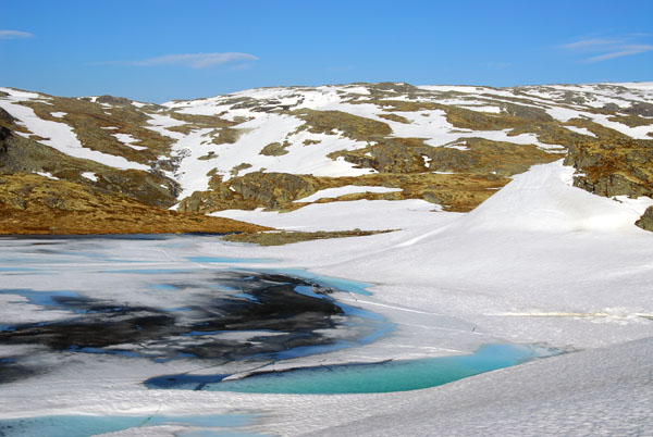
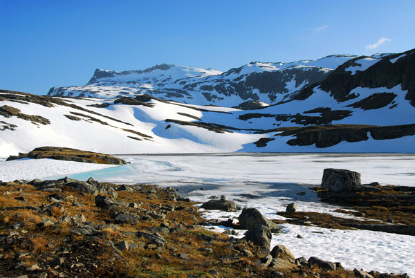
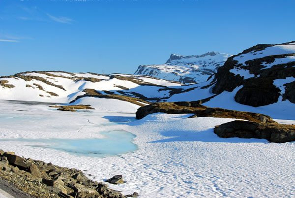
 Icy lake, Aurlandsvegen |
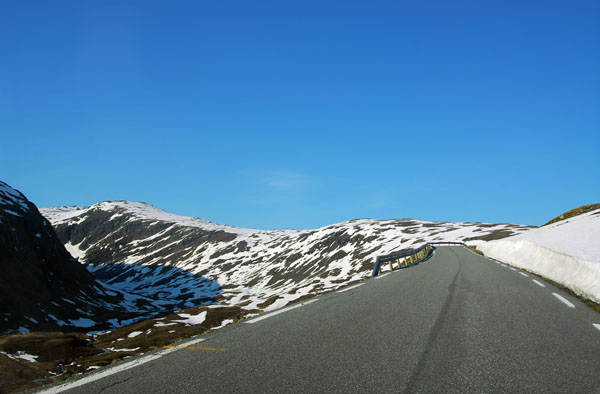
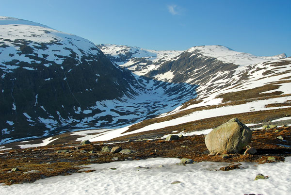
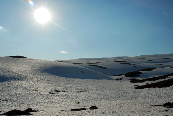
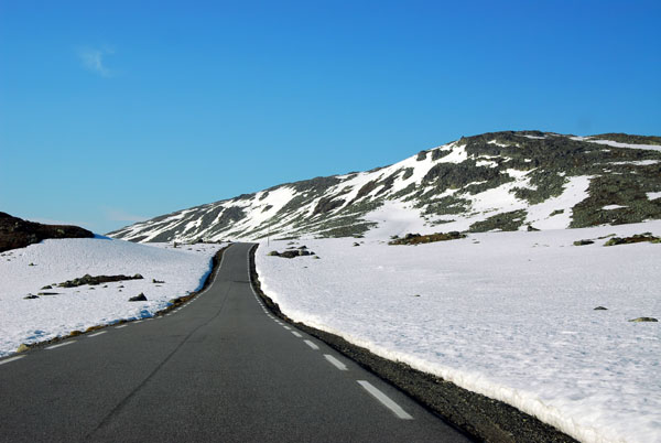
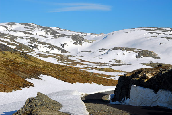
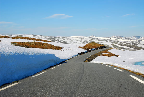 Aurlandsvegen - the highest point is 1306m |
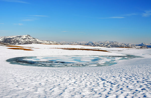
 Snowy landscape in June, Aurlandsvegen |
 Aurlandsvegen |
 Aurlandsvegen |
 Aurlandsvegen |
 Aurlandsvegen |
 Early evening, Aurlandsvegen |
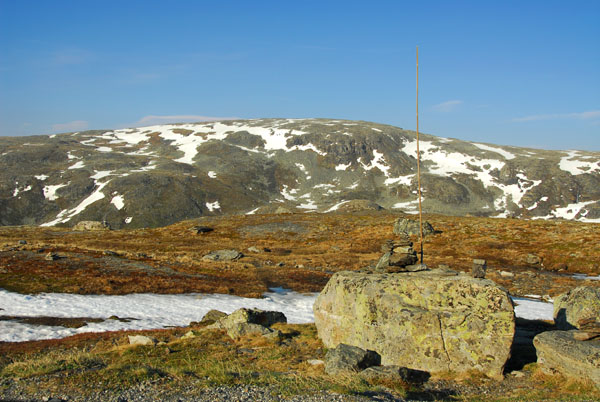
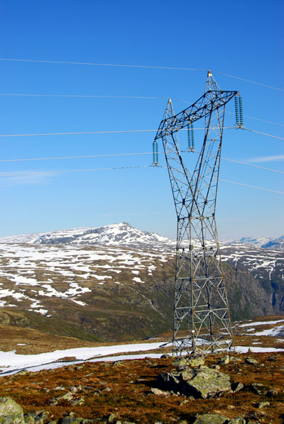 Transmission tower crossing the highlands |
 Aurlandsvegen - "snow route" open ca June 1-Oct 15 |
 Aurlandsvegen |
 Aurlandsvegen |
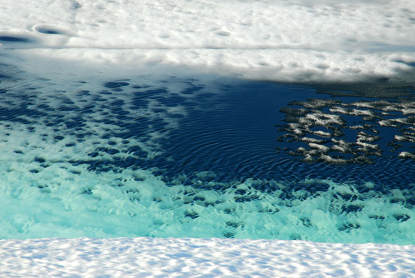 Icy blue water |
 Aurlandsvegen |
 Aurlandsvegen |
 Aurlandsvegen |
 Aurlandsvegen |
 Aurlandsvegen |
 Aurlandsvegen |
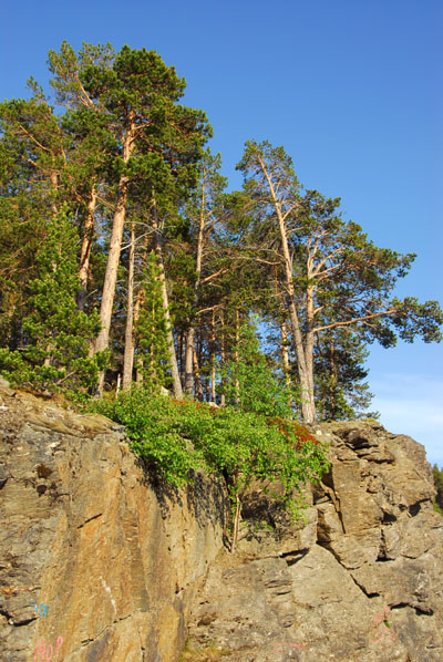
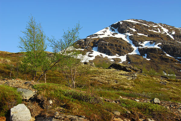 Descending back to the tree line |
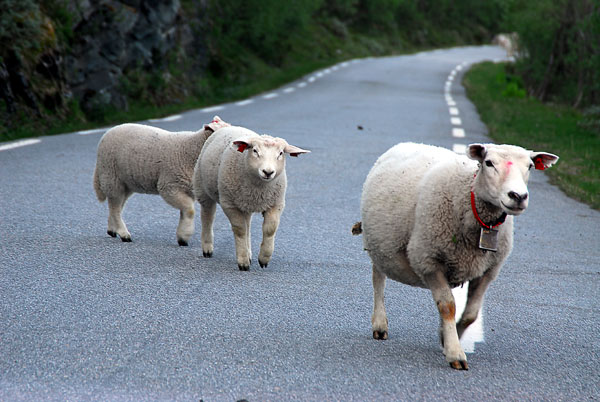
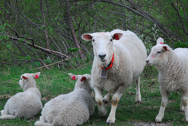 Very friendly sheep, Horndalen, Aurlandsvegen |
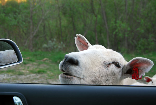 Hello |
 They must really like their farmer |
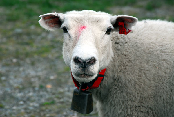 Norwegian sheep |
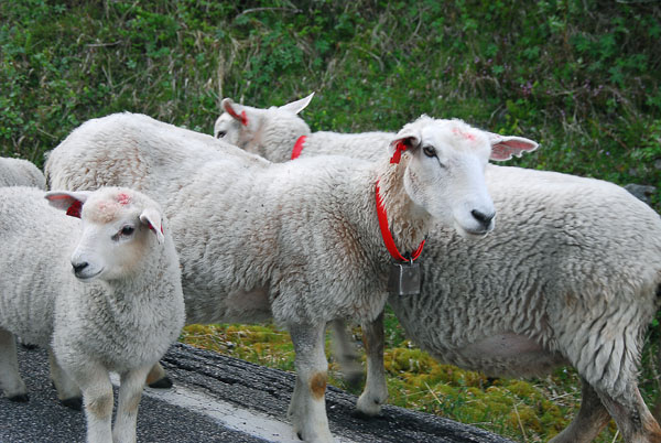 Sorry, I have no food for you |
 Horndalen, Aurlandsvegen |
 Horndalen, Aurlandsvegen |
 Horndalen, Aurlandsvegen |
 Reaching the otherside...the route took me 1 hr 15 min from Aurland til reaching Lærdalsfjorden - 45 km |
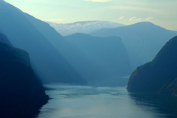
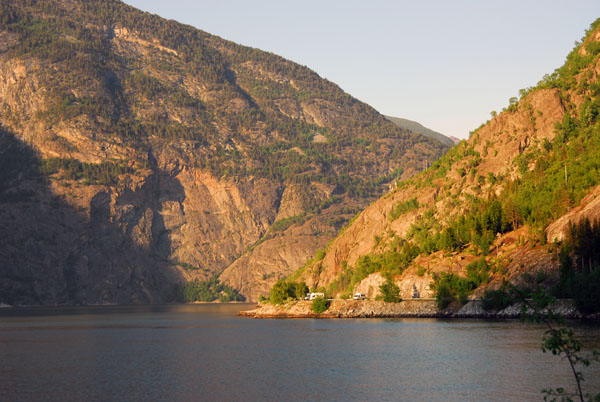
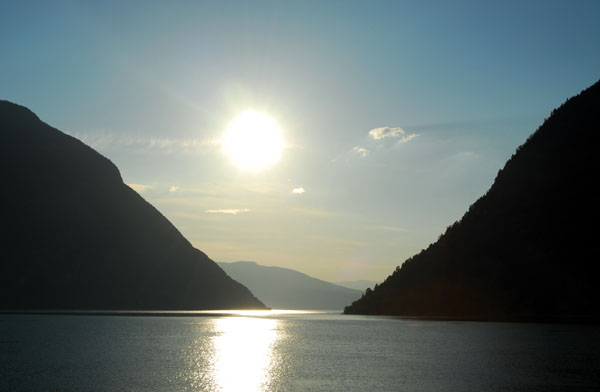
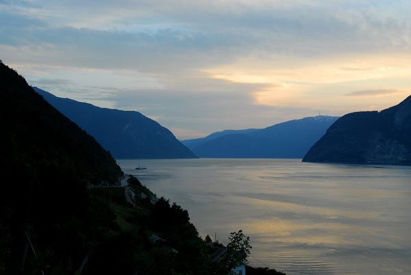
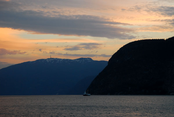
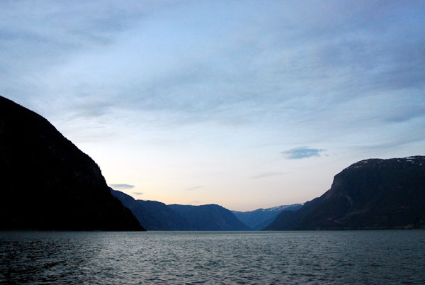
 Lærdalsfjorden |
 Lærdalsfjorden |
 Lærdalsfjorden |
 Lærdalsfjorden |
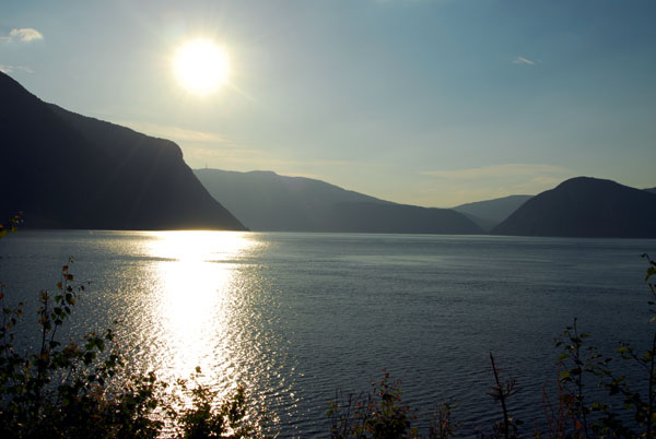 Lærdalsfjorden |
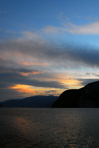
 The summer sun goes down very slowly |
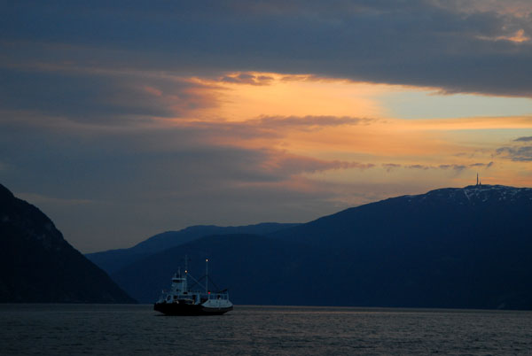
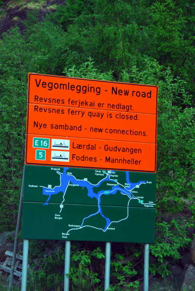 New ferry route Fodnes-Mannheller replacing Revsnes |
 Lærdal |
 Lærdal |
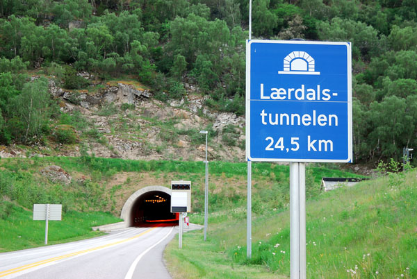 24.5 km Lærdalstunnelen to Aurland - the 48 km mountain road is worth driving |
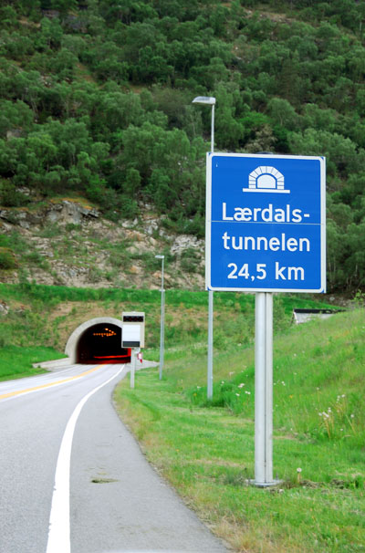 Lærdalstunnelen |
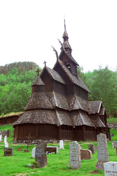
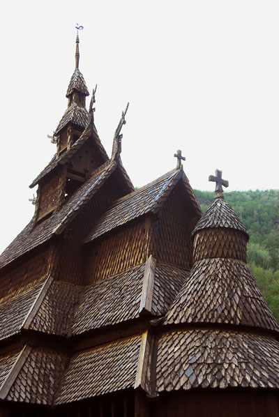
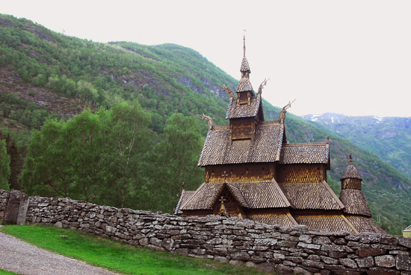
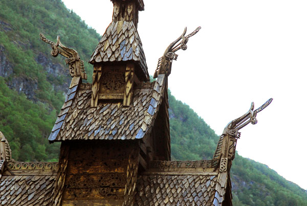
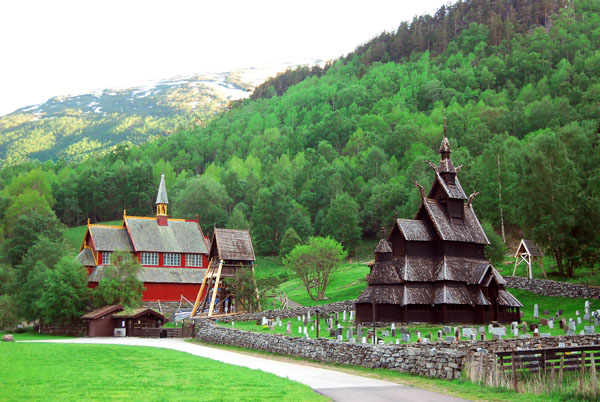 Borgund Stave Church |
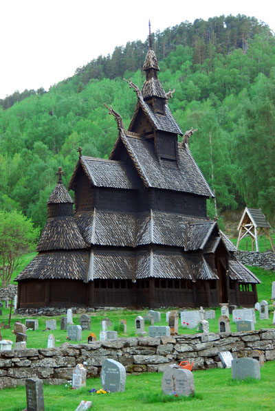 Borgund stavkyrkje ca 1150 |
 Borgund Stabkirche |
 Borgund stavkyrkje |
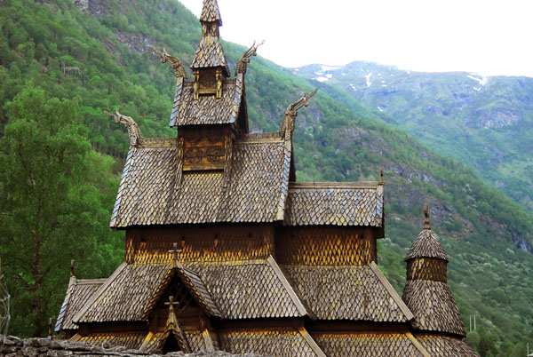 Borgund Stave Church ca 1150 |
 Borgund stavkyrkje |
 Borgund Stave Church |
 Rushing Lærdalselva near Borgund |
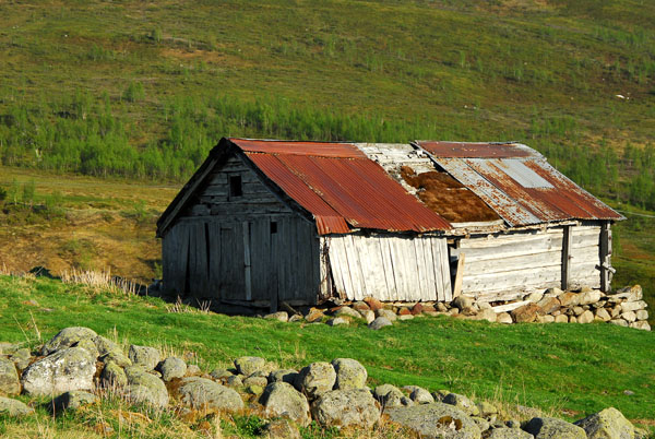
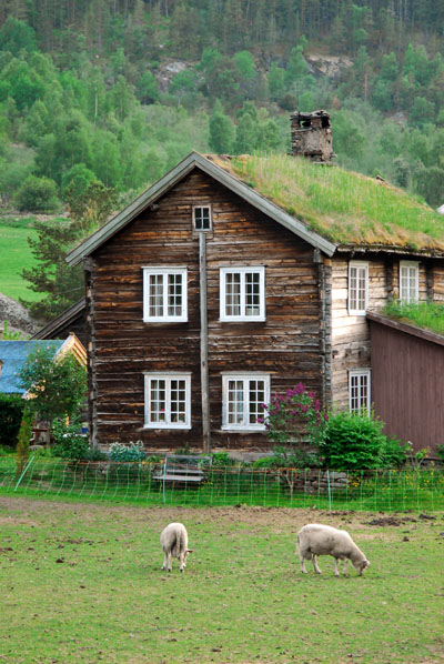 Turf roofed farmhouse, near Borgund |
 Lærdalselva between Borgund and Lærdal |
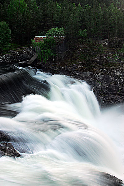
 Waterfall off the E16 near Lærdal |
 E16 heading back towards Lærdal |
 Lærdal |
 Waterfall |
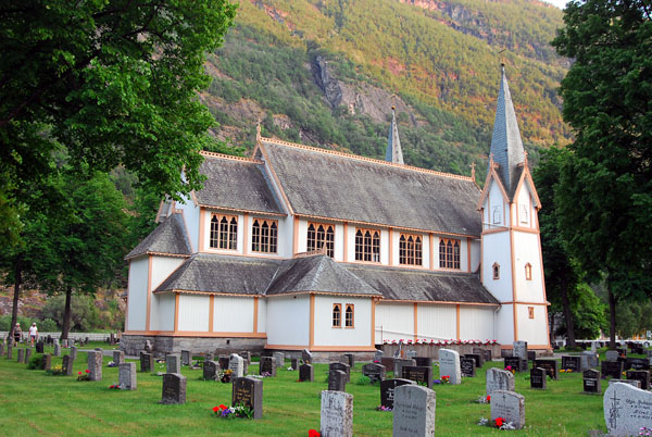 Lærdal church |
 Lærdal church |
 Lærdalsfjorden at Fodnes |
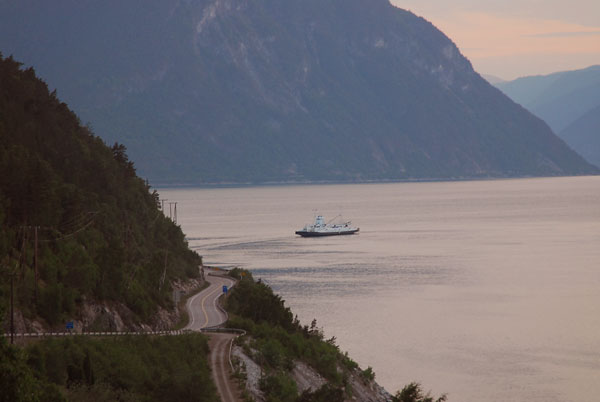 Ferry crossing Lærdalsfjorden at Fodnes |
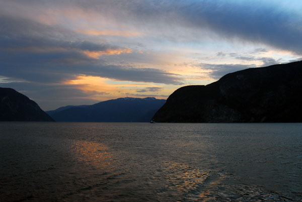 Lærdalsfjorden 2200 |
 Lærdalsfjorden |
 Lærdalsfjorden |
 Lærdalsfjorden |
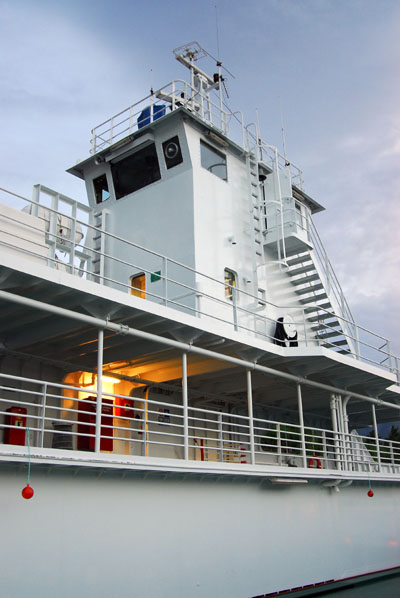 Fodnes-Mannheller ferry |
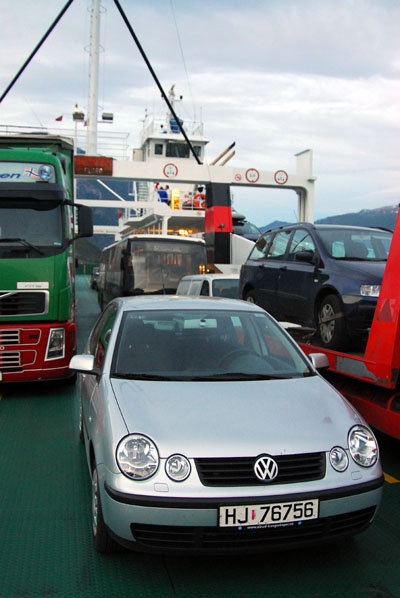 My rental car on the Fodnes ferry heading for Sogndal |
 Lærdalsfjorden |
 Arriving in Sogndal, 11 pm |
 Sogndal, 2300 |
| comment | share |