


|
|
|
|
|
|
| Brian McMorrow | profile | all galleries >> Aviation >> Aerial Photos >> Aerials-Asia >> Aerials - Philippines | tree view | thumbnails | slideshow |
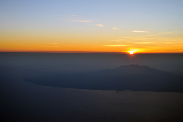
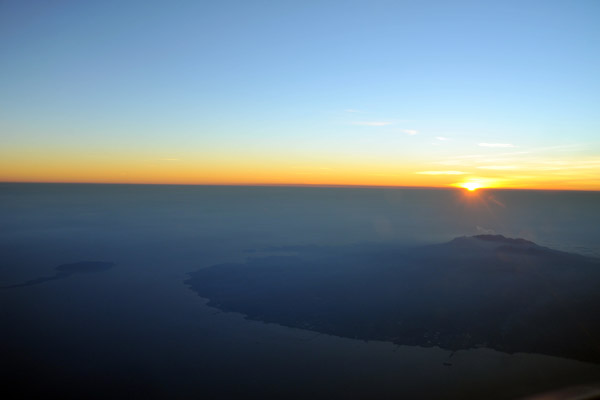
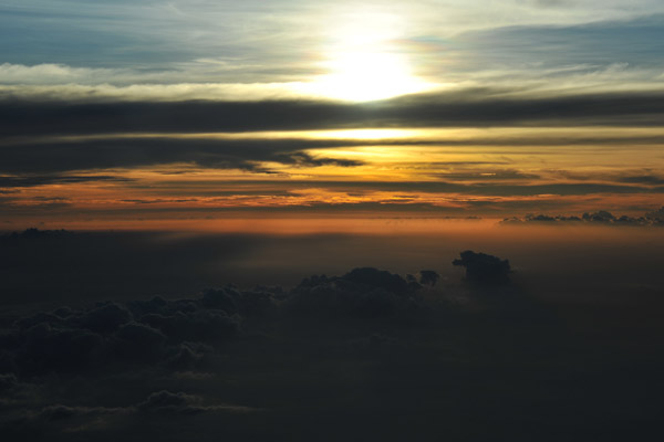
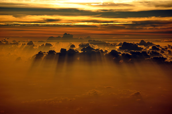
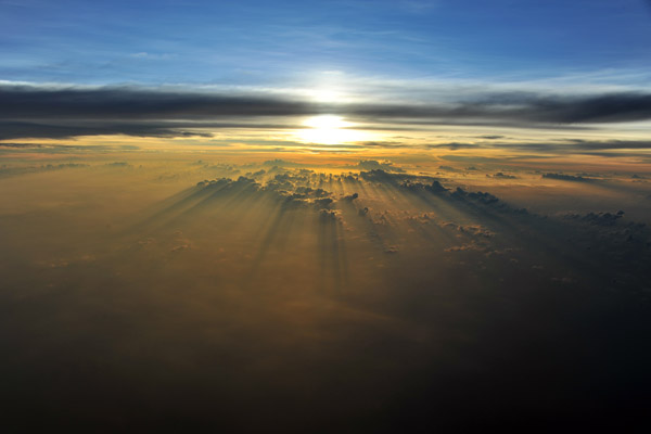
 Sunset over the Philippines |
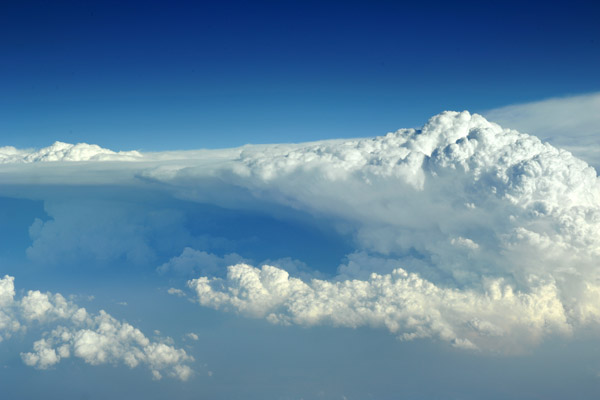
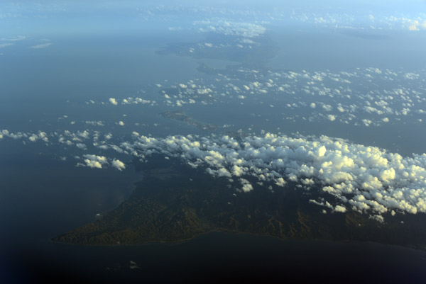
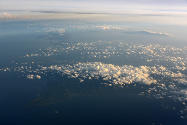
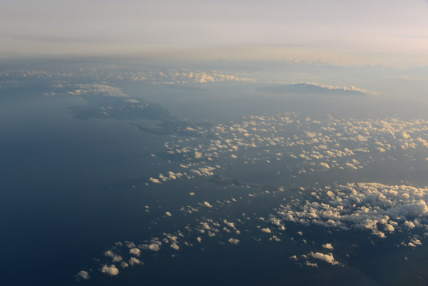
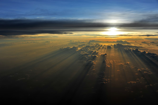
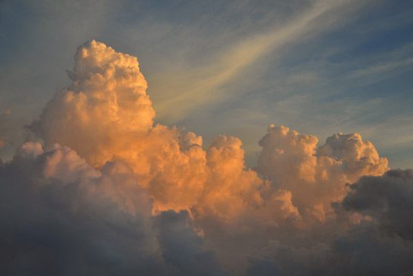 Late afternoon sun on CB's over the Philippines |
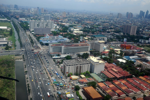
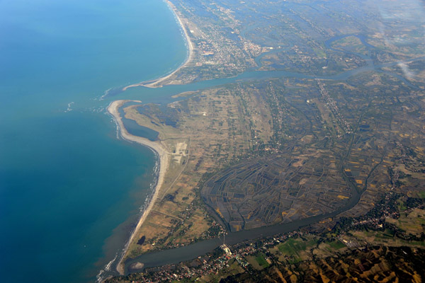
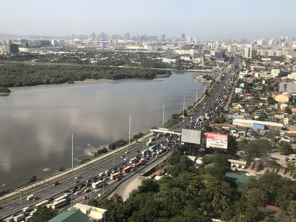
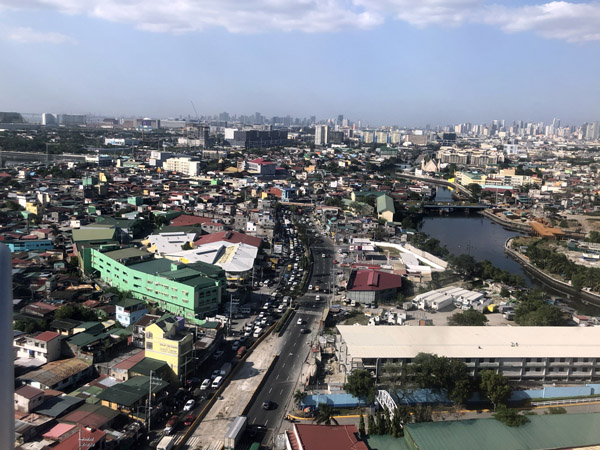
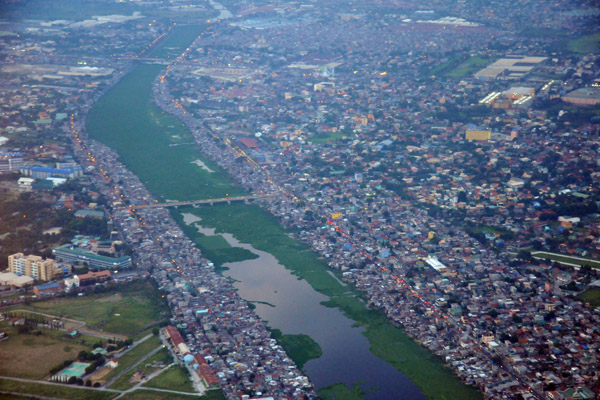 The Floodway with Javier Bridge, SE Manila, Philippines |
 Ortigas Center, Quezon City (Manila) Philippines |
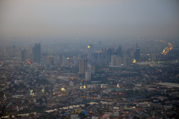
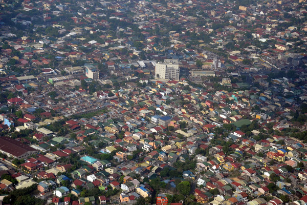
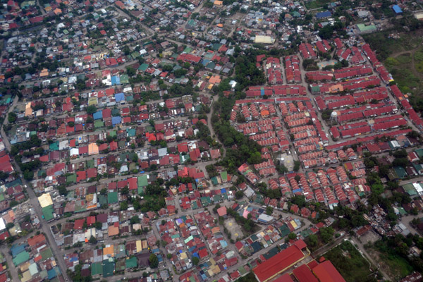
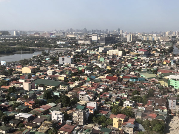
 Pasig City (Manila) Philippines |
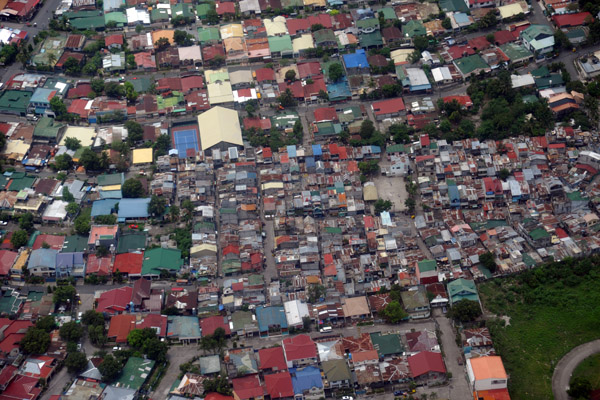
 Pembo (Manila) Philippines |
 Carlos P. Garcia Avenue with part of the American Cemetary, Manila, Philippines |
 Makati City (Manila) Philippines |
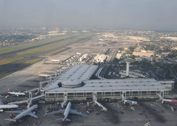
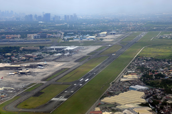
 Ninoy Aquino International Airport, Manila, Philippines |
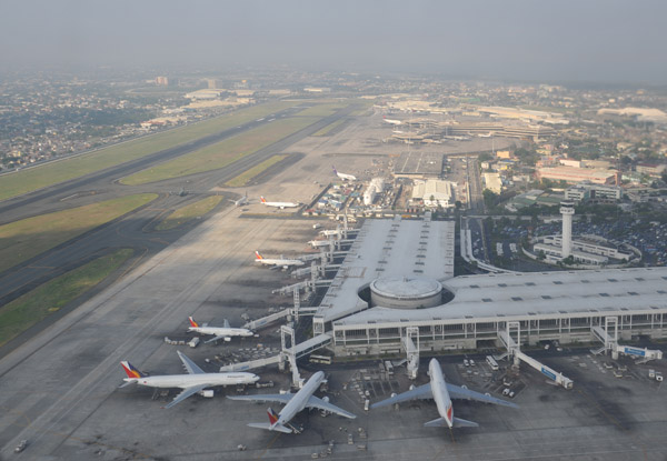
 Ninoy Aquino International Airport, Manila, Philippines |
 Ninoy Aquino International Airport, Manila, Philippines |
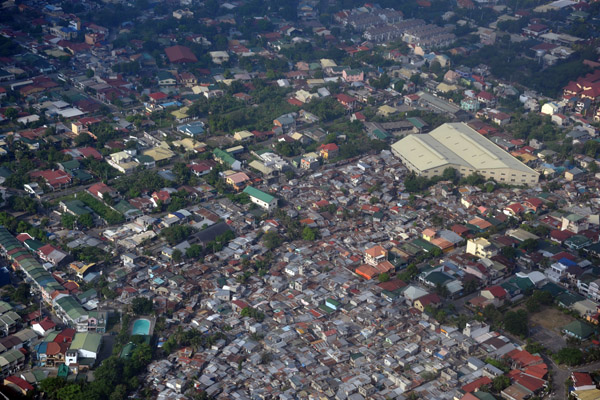 Para�aque City, south of Manila Airport, Philippines (N14.494/E121.026) |
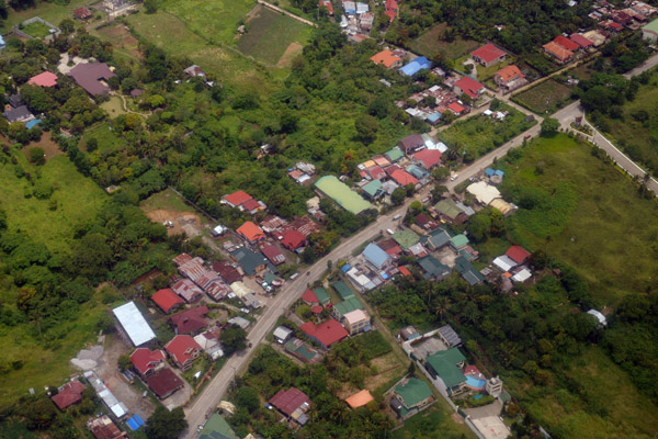
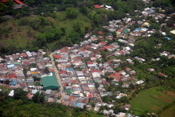
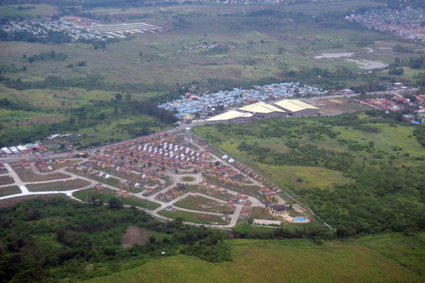
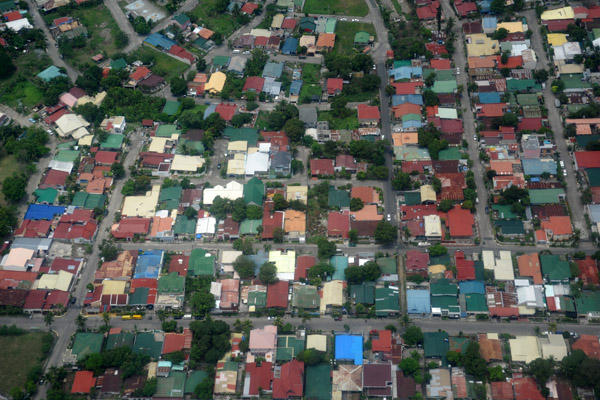
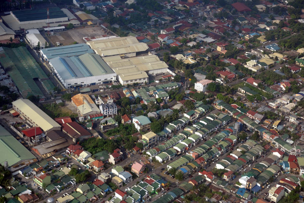 Countryside Village, Barangay Sun Valley, Para�aque City (Metro Manila) Philippines |
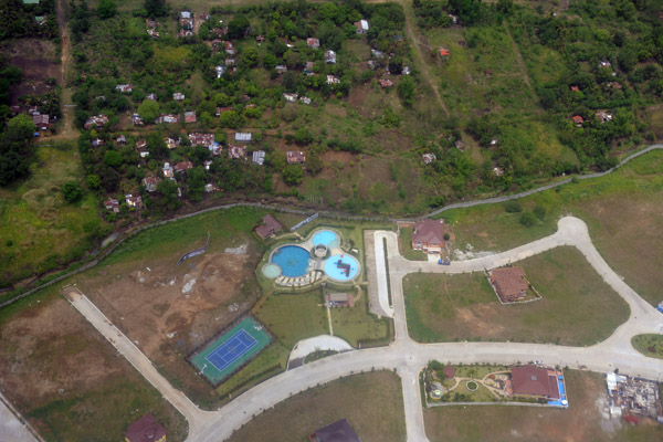
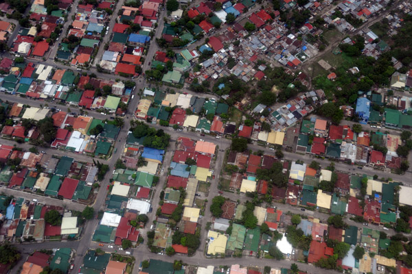
 Para�aque City (Metro Manila) Philippines |
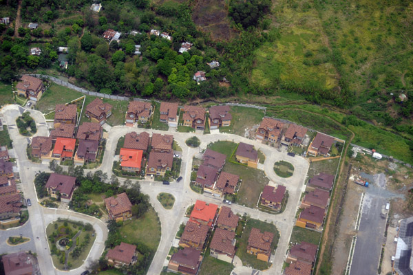
 Para�aque City (Metro Manila) Philippines |
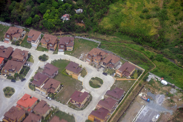
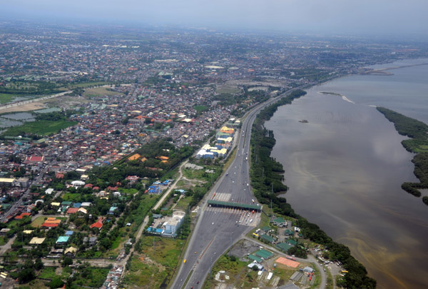
 South Luzon Expressway (SLEX) Para�aque City, Metro Manila, Philippines (N14.717/E121.044) |
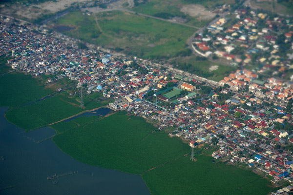
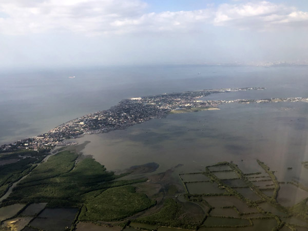
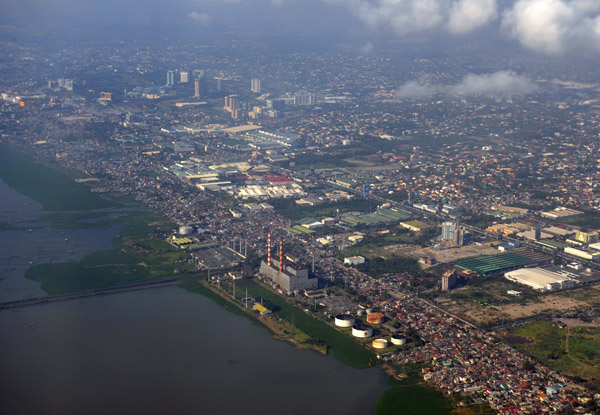 Power plant on the shore of Laguna de Bay, Sucat, Muntinlupa City, Philippines (N144.448/E121.052) |
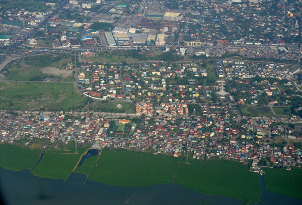
 Shore of Laguna de Bay, Muntinlupa City (Metro Manila) Philippines |
 Shore of Laguna de Bay, Muntinlupa City (Metro Manila) Philippines |
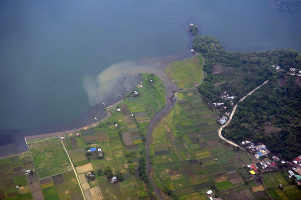
 Shore of Laguna de Bay, Muntinlupa City (Metro Manila) Philippines |
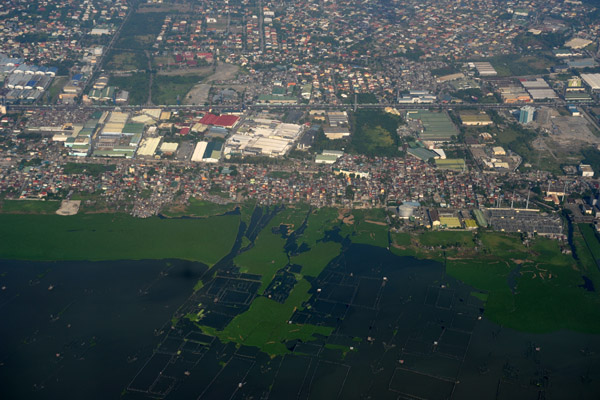
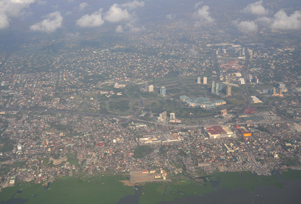
 Muntinlupa City (Metro Manila) Philippines |
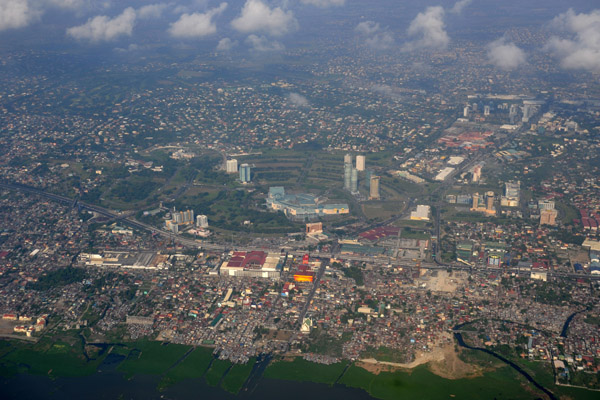
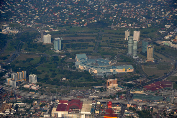 Festival Supermall, Alabang, Muntinlupa City (Metro Manila) Philippines |
 Festival Supermall, Alabang, Muntinlupa City (Metro Manila) Philippines |
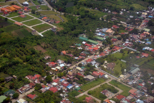
 San Pedro Laguna, Philippines (N14.369/E121.059) |
 San Pedro Laguna, Philippines |
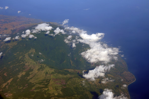
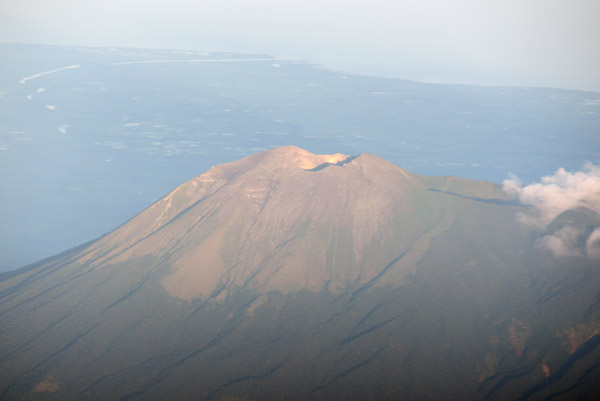
 Mt. Batulao (Batangas) SW Luzon, Philippines |
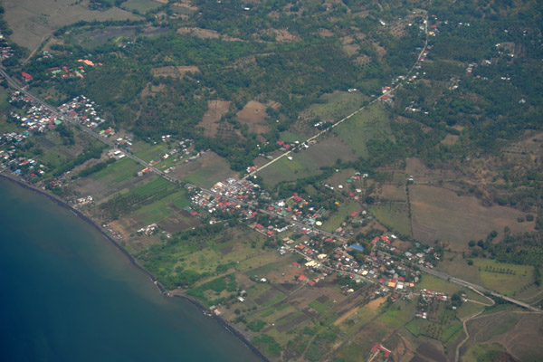
 Balayan (Batangas) Luzon, Philippines (N13.93/E120.73) |
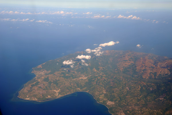
 Calatagan (Batangas) the southwest point of Luzon, Philippines (N13.84/E120.65) |
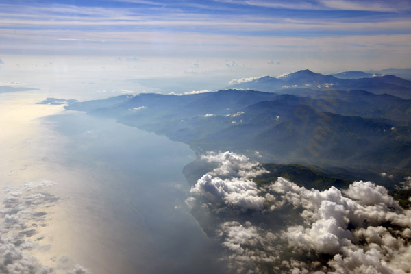 North shore of Mindoro looking east to Puerto Galera, Philippines |
 Northwest corner of Mindoro, Philippines |
 Northwest end of Mindoro, Philippines |
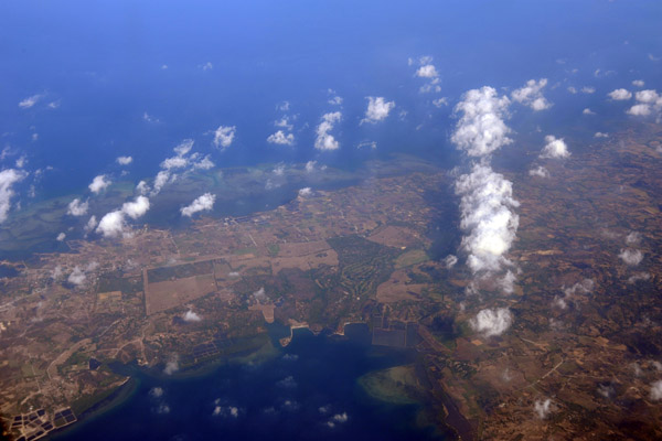
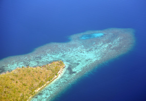
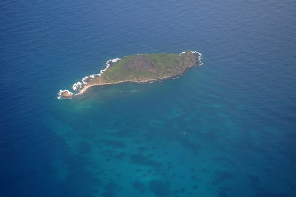
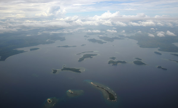
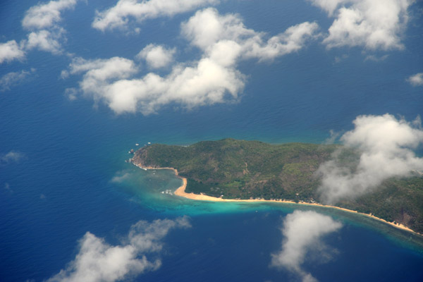
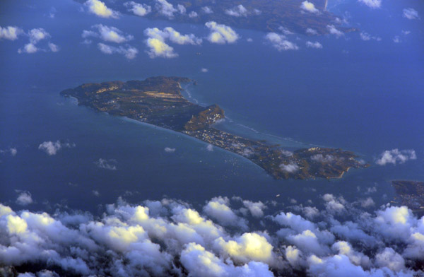
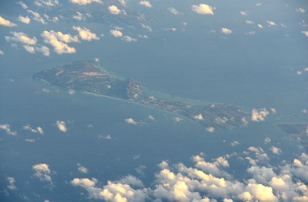
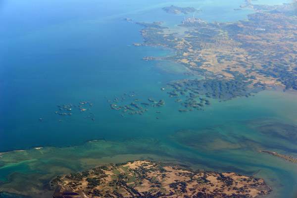
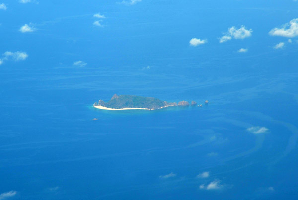 Dumunpalit Island, Philippines (N12.38/E120.12) |
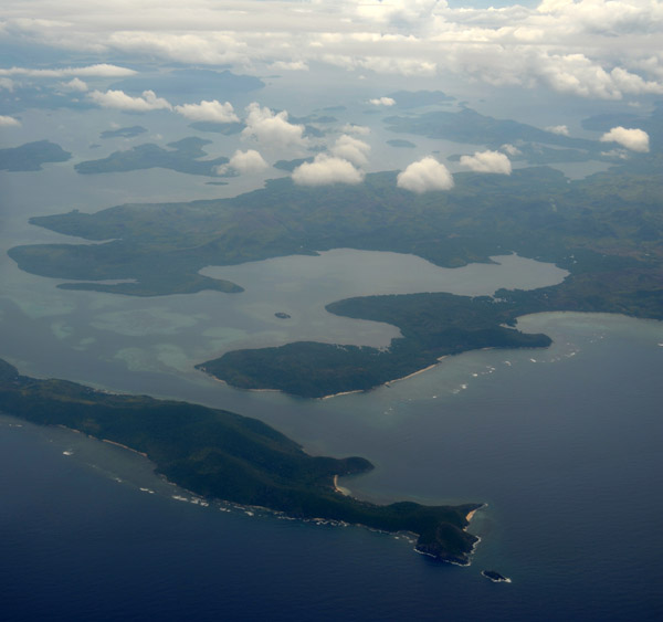
 Descent for Busanga over narrow Cabilauan Island, Philippines |
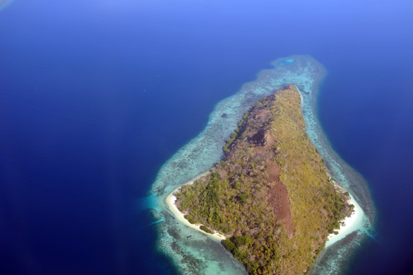
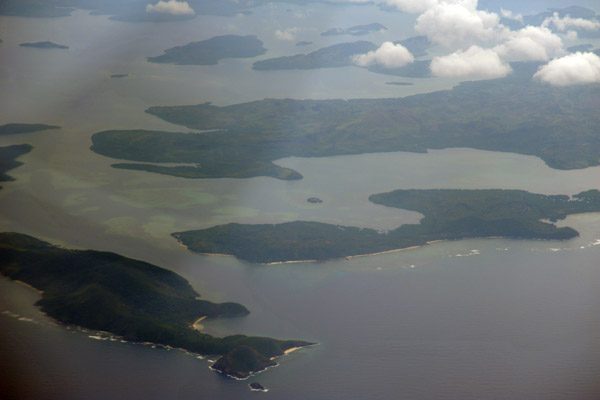
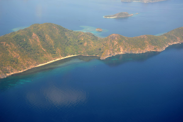 Cabilauan Island (Busuanga) Philippines |
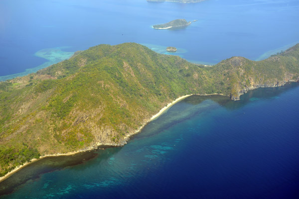 Cabilauan Island (N12.177/E120.154) Philippines |
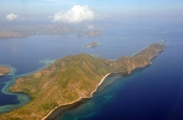 Cabilauan Island (Busuanga) Philippines |
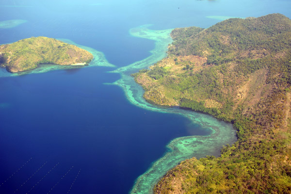
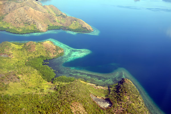
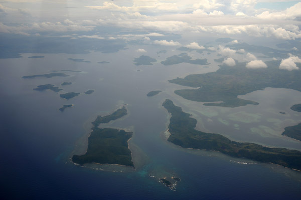
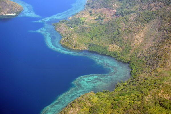 Shallow blue water and coral reefs on the sheltered south side of Cabilauan Island, Philippines |
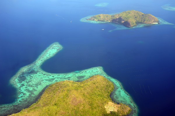
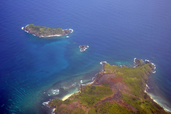
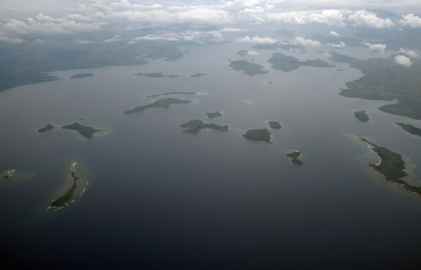
 Cabilauan Island and the smaller Dimilanta Island (Busuanga) Philippines |
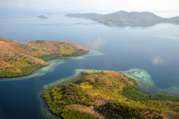
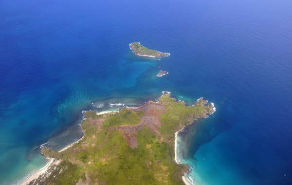
 Between Cabilauan and Busuanga with Dimilanta Island in the distance (N12.157/E120.162) |
 Northern Busuanga with a smaller island |
 Small island off the north side of Busuanga (N12.145/E120.158) |
 Small island off the north side of Busuanga (N12.145/E120.158) |
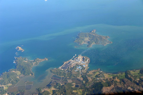
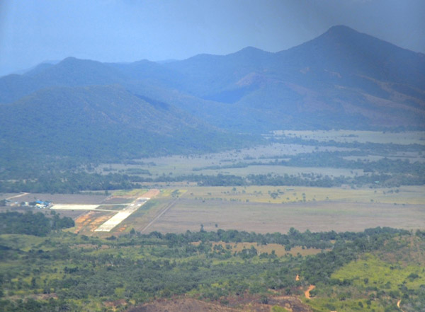 Busuanga Airport, Philippines |
 Busuanga Island, Philippines (N12.137/E120.146) |
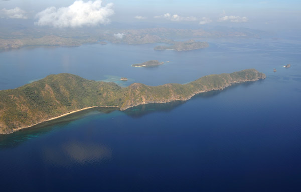
 Busuanga with Cabilauan Island to the north, Philippines |
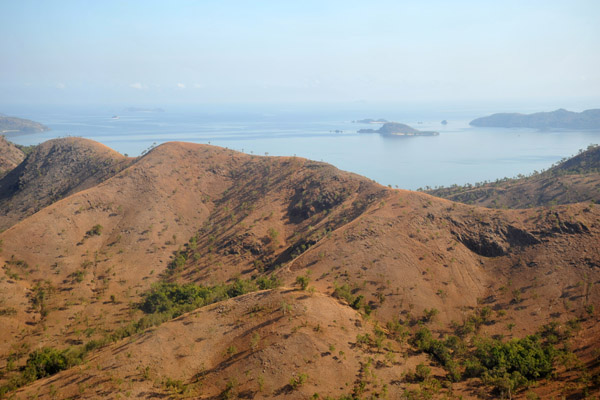 Mountains of northern Busuanga, Philippines |
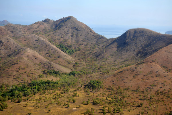 Mountains of northern Busuanga, Philippines |
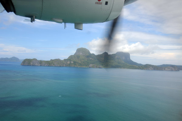
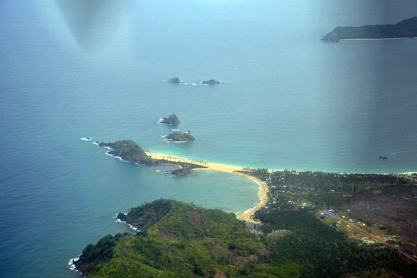
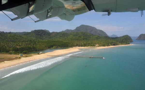 The long sandy beach by El Nido Airport |
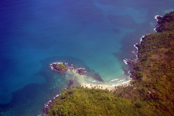
 Ca'alan Beach, El Nido, Palawan, Philippines |
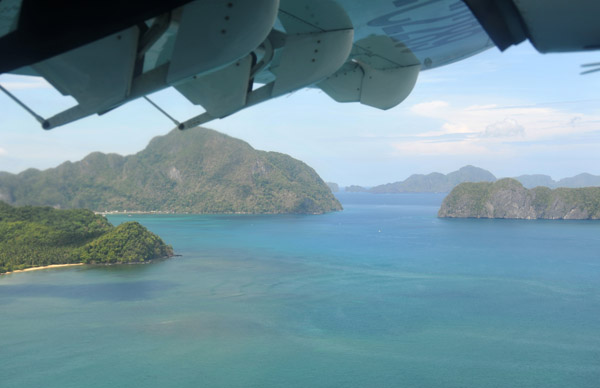
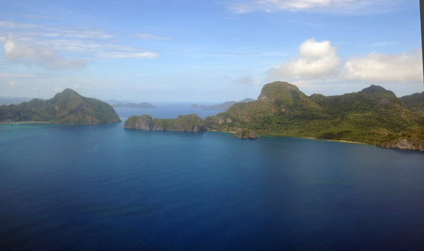
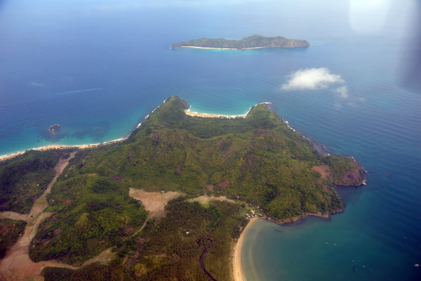
 Cadlao Island, Palawan, Philippines |
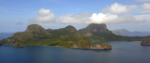
 Cadlao Island, Palawan, Philippines |
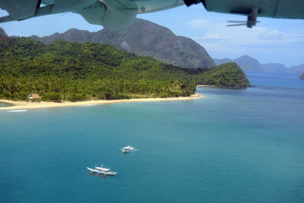
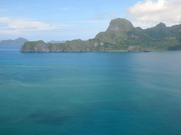
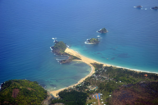
 El Nido Bay, Philippines |
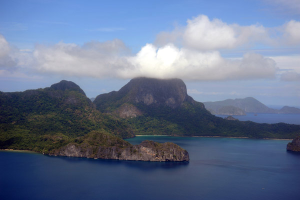
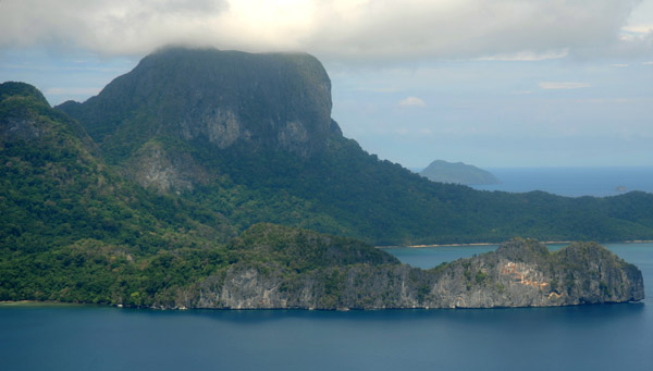 Cadlao Island, Palawan, Philippines |
 Cadlao Island and Helicopter Island, Palawan, Philippines |
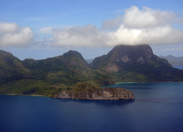
 Cadlao Island, Palawan, Philippines |
 Cadlao Island, Palawan, Philippines |
 Cadlao Island, Palawan, Philippines |
 Small beach on the northwest of Palawan (N11.27/E119.42) |
 Crowford Point and Nacpan Palawan, Philippines (N11.31/E119.42) |
 Crowford Point and Nacpan Palawan, Philippines (N11.31/E119.42) |
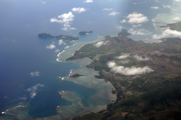
 Patuyo point, NW Palawan and Laluaya Island, Philippines |
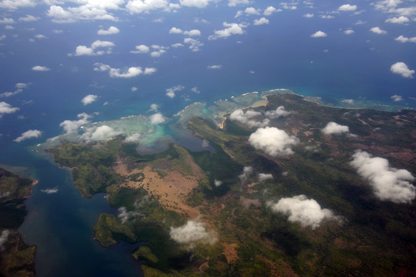
 Diapila Island, Palawan, Philippines (N11.39/E119.46) |
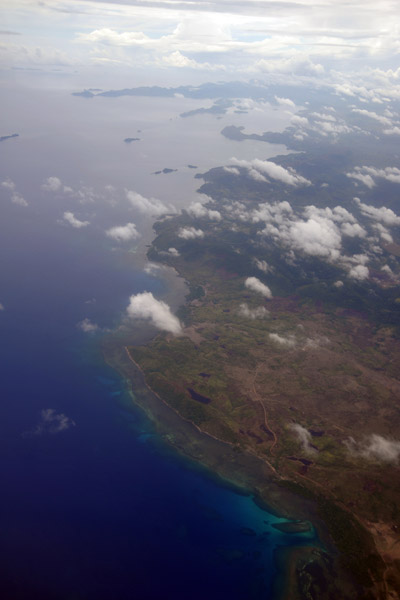
 Libro Point, northern tip of Palawan with Calitan Island (N11.42/E119.48) |
 Libro Point, northern tip of Palawan with Calitan Island (N11.42/E119.48) |
 Linacpan Islands, between Palawan and Culion Island, Philippines |
 Galoc Island and part of Culion Island, Philippines |
 Galoc Island and part of Culion Island, Philippines |
 Bay between Culion Island and Busuanga, Philippines |
 Coron Bay - The US Navy sank at least 11 Japanese ships here on 24 Sep 1944 |
 Coron Bay, Philippines - Busuanga on the left, Culion on the right |
 Northwestern Busuanga, Philippines |
 Caluit Island (game preserve and wildlife sanctuary) Philippines |
 North coast of Busuanga looking east, Philippines |
 Dimipac Island, Palawan, Philippines (N12.36/E119.90) |
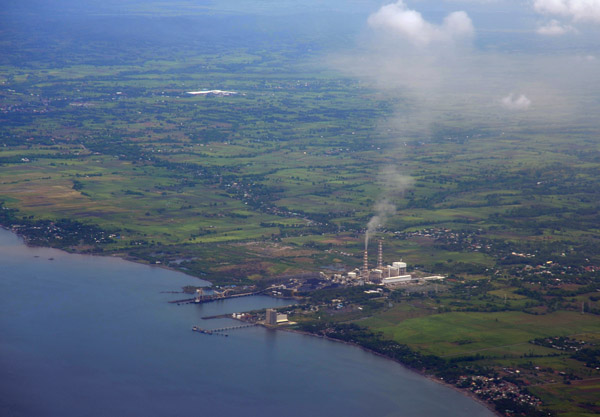 Powerplant on the southwestern coast of Luzon at Calaca (Batangas) Philippines (N13.93/E120.79) |
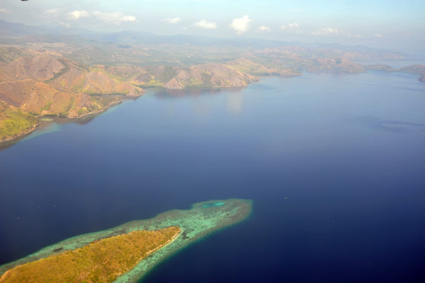
 Southwest coast of Luzon, Philippines |
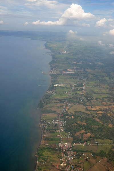 Southwest coast of Luzon, Philippines |
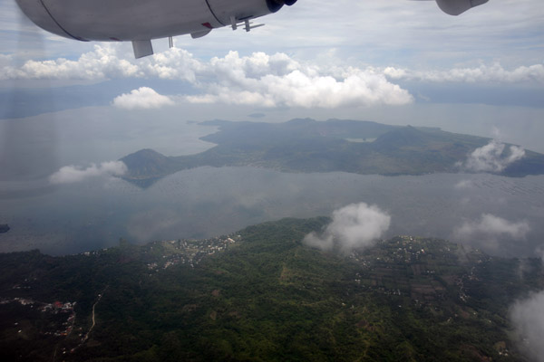 Taal Lake and volcano, Luzon, Philippines |
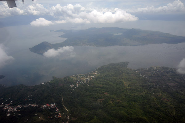 Taal Lake and volcano, Luzon, Philippines |
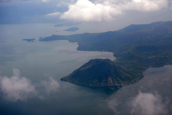 Taal Lake and volcano, Luzon, Philippines |
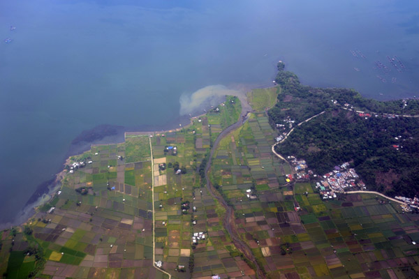 Paddies on the shores of Taal Lake, Laurel, Luzon, Philippines |
 Paddies on the shores of Taal Lake, Laurel, Luzon, Philippines |
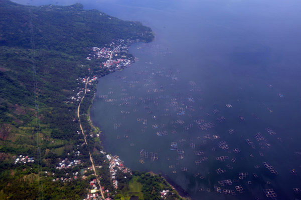
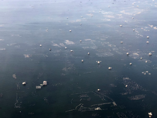
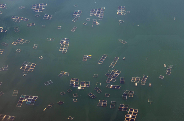 Fish farms, Lake Taal, Luzon, Philippines |
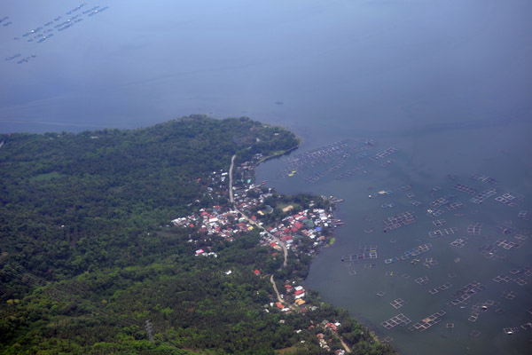
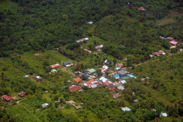
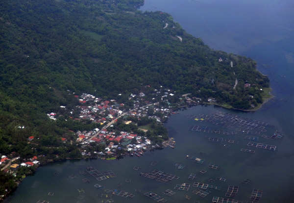 Barangay Buco, Lake Taal, Luzon, Philippines |
 Barangay Buco, Lake Taal, Luzon, Philippines |
 Northwest shore of Lake Taal, Luzon, Philippines |
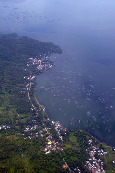 Northwest shore of Lake Taal, Luzon, Philippines |
 Northwest shore of Lake Taal, Luzon, Philippines |
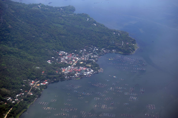
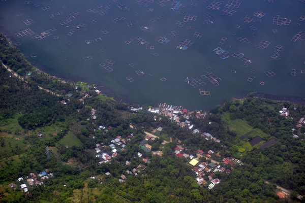
 Barangay Buco, Lake Taal, Luzon, Philippines |
 Tagaytay, Luzon, Philippines |
 Tagaytay, Luzon, Philippines |
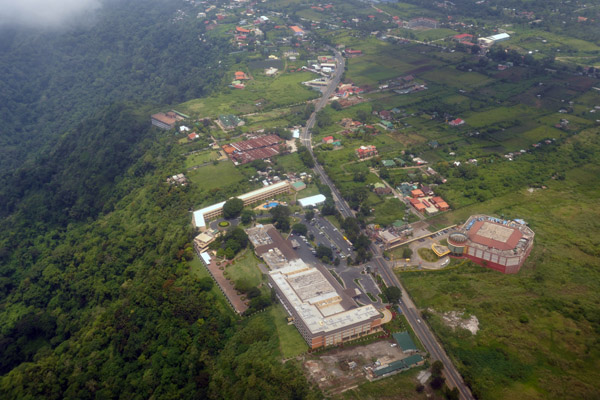
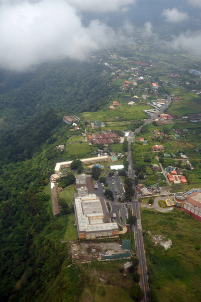
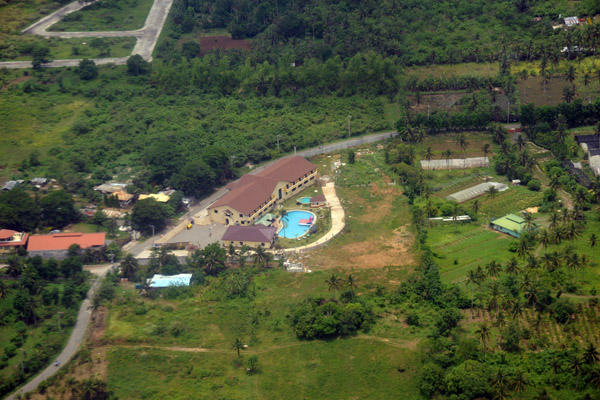
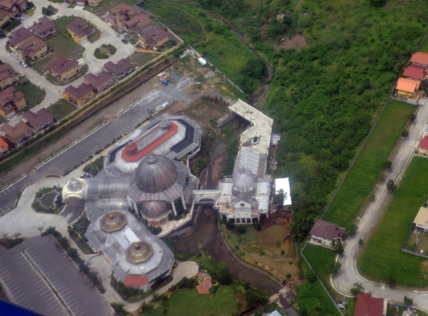
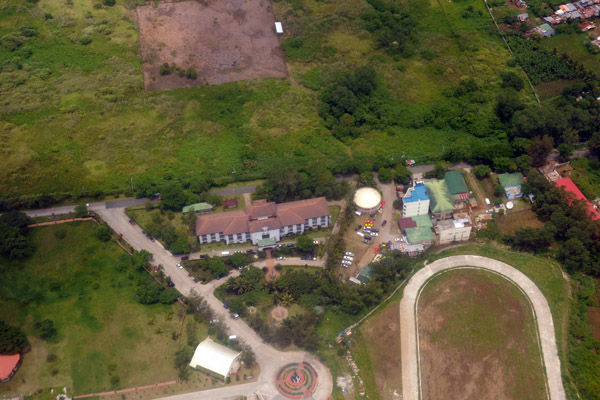 Sports complex, Tagaytay City, Luzon, Philippines |
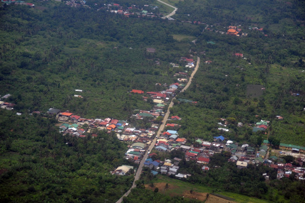
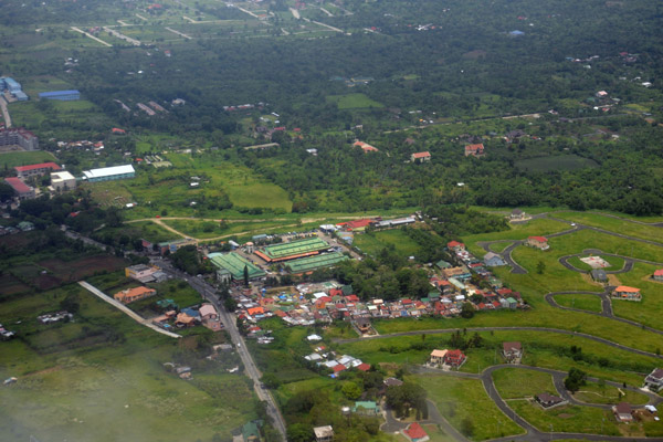 Between Tagaytay and Silang, Luzon, Philippines |
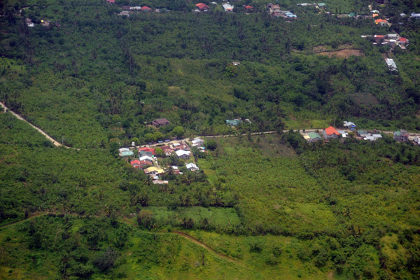
 Between Tagaytay and Silang, Luzon, Philippines |
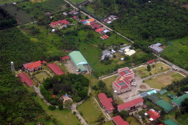
 Between Tagaytay and Silang, Luzon, Philippines |
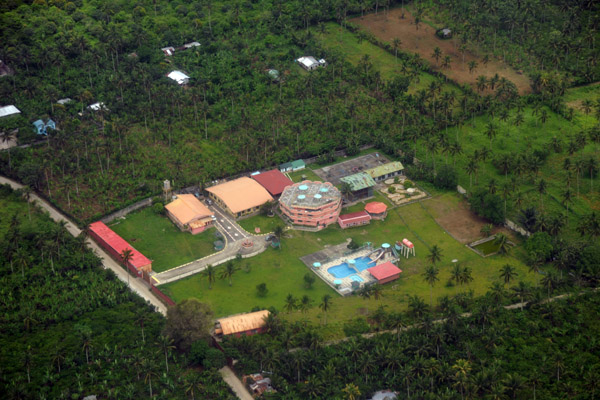
 Between Tagaytay and Silang, Luzon, Philippines |
 Between Tagaytay and Silang, Luzon, Philippines |
 Between Tagaytay and Silang, Luzon, Philippines |
 Between Tagaytay and Silang, Luzon, Philippines |
 1000 Missionary, Silang (Cavite) Luzon, Philippines |
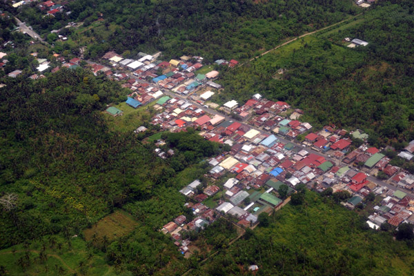
 Silang (Cavite) Luzon, Philippines |
 Lucshuhin Road, Silang (Cavite) Luzon, Philippines (N14.21/E120.96) |
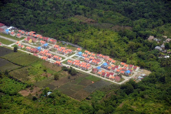
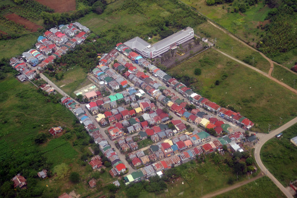
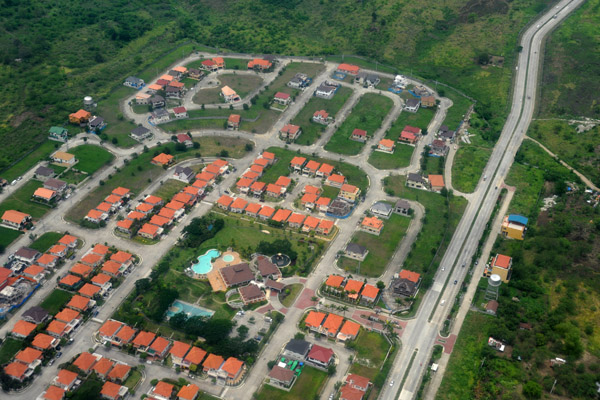
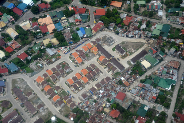
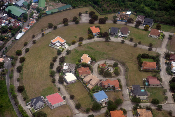
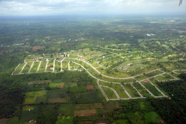 New suburban development at Riviera Golf Club, Silang, Luzon, Philippines |
 Silong (Cavite) Luzon, Philippines (N14.23/E120.96) |
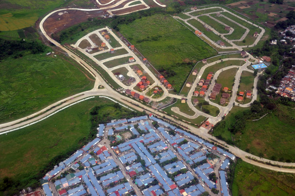
 Metro Gate Silang development, Luzon, Philippines (N14.24/E120.96) |
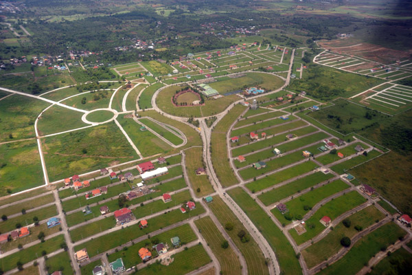
 Blessed Ville Subdivision, Silang (Cavite) Luzon, Philippines (N14.26/E120.97) |
 Subdivision between Silang and Dasmari�as (Cavite) Luzon, Philippines (N14.28/E120.98) |
 St. Paul College Island Park (Dasmari�as, Cavite) Philippines (N14.30/E120.98) |
 New subdivision, Dasmari�as (Cavite) Philippines (N14.30/E120.99) |
 Paliparan Dasmari�as (Cavite) Philippines (N14.32/E120.98) |
 Another new subdivision in Dasmari�as (Cavite) Philippines (N14.33/E120.99) |
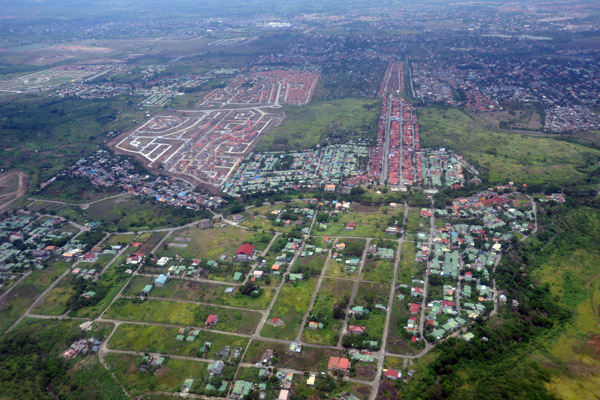
 Yet another new subdivision...looks like the Middle Class is flocking to the suburbs |
 New subdivision Magsaysay (Cavite) Philippines (N14.37/E121.01) |
 New subdivision Magsaysay (Cavite) Philippines (N14.37/E121.01) |
 Fernbrook, Magsaysay (Cavite) Philippines (N14.37/E121.01) |
 New subdivision, Magsaysay (Cavite) Philippines (N14.37/E121.01) |
 Queens Row West (Bacoor, Cavite) Philippines |
 Las Pinas (Cavite) Philippines (N14.41/E121.00) |
 Batele Rd at Mabolo Rd, Las Pinas (Cavite) Philippines (N14.415/E121.004) |
 Camino Real at Mahogany Rd, Las Pinas (Cavite) Philippines (N41.416/E121.005) |
 New construction in suburban Manila (Cavite) Philippines |
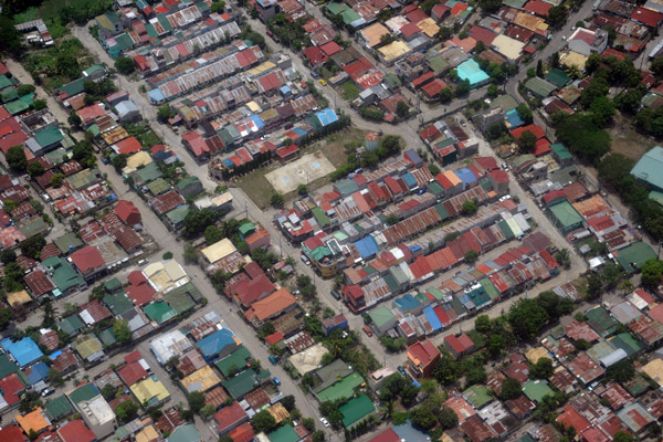
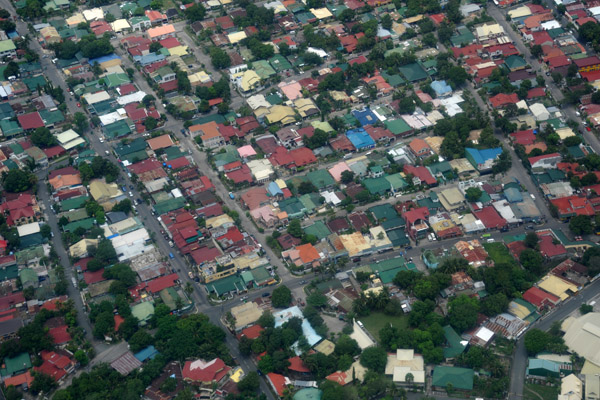
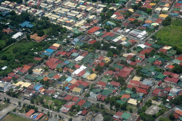
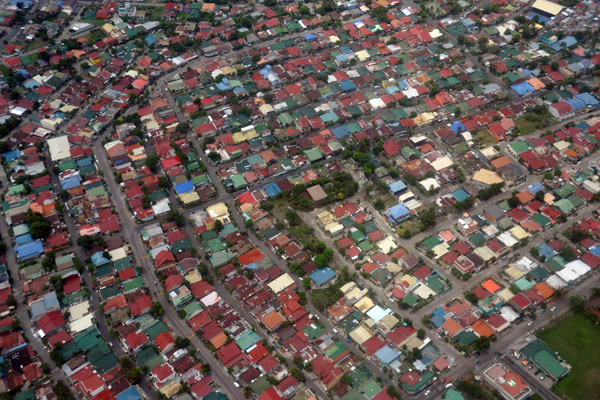 Suburban Manila, Philippines |
 Suburban Manila, Philippines |
 Farmland in the middle of suburbia, Cavite, Philippines (N14.424/E120.981) |
 Suburb built in 2003, San Nicolas I (N14.419/E120.979) |
 San Nicolas I, suburban Manila (N14.415/E120.997) |
 Dona Remedios St, Espeleta (Cavite) Philippines (N14.402/E120.991) |
 Ayala Southvale Village, Suburban Manila (N14.399/E121.000) |
 Dona Ailar Aquirre Rd, Las Pinas City, suburban Manila (N14.417/E121.007) |
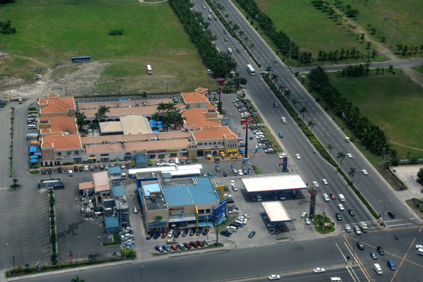
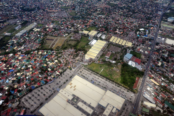 SM Southmall, Las Pinas City, suburban Manila, Philippines |
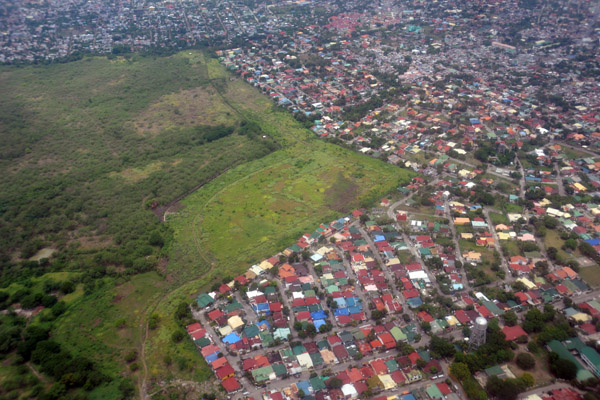
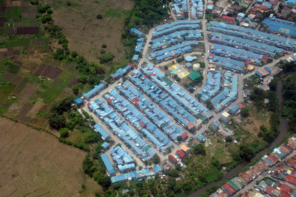
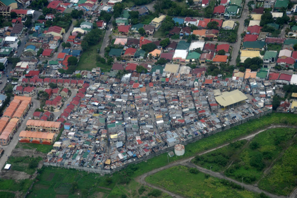 Shantytown, Suburban Manila, Philippines (N14.447/E121.003) |
 Suburban Manila - gems & planets - Jupiter St at Jade St (N14.467/E120.994) |
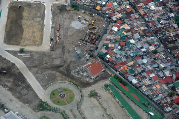 New construction walled off from a shanty town, suburban Manila (N14.477/E120.993) |
 CS Road Extension, Paranaque, Metro Manila, Philippines |
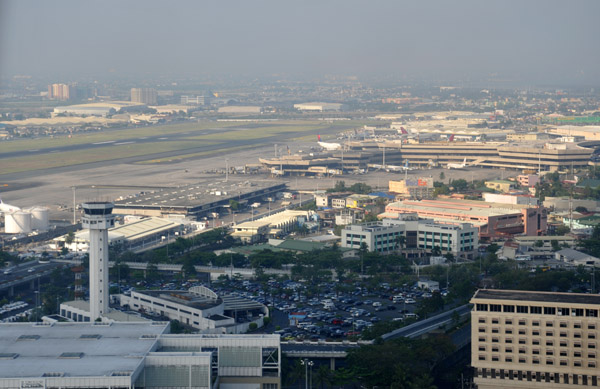
 RPLL/MNL Ninoy Aquino International Airport, Manila, Philippines |
 Cavite Tollgate, Aquinaldo Blvd, the coastal highway, Luzon, Philippines |
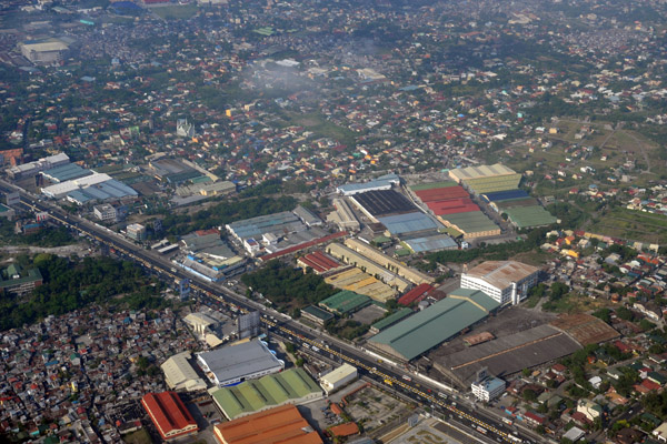
 Cavite Peninsula with Sangley Point Airbase, Philippines |
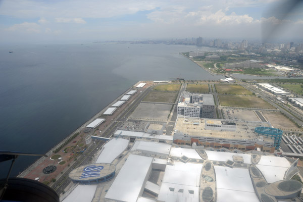
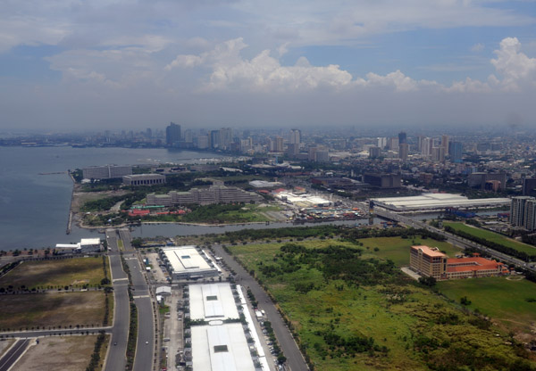
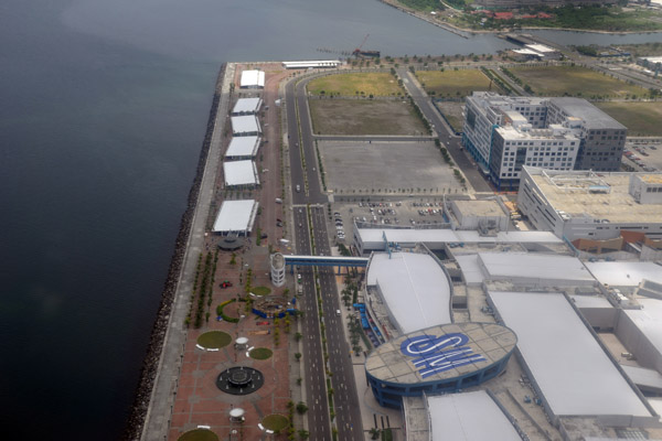 SM Mall of Asia, Manila, Philippines |
 SM Mall of Asia, Manila, Philippines |
 Bay Blvd looking north, Manila, Philippines |
 Corner of Pres. Diosdado Macapagal Blvd and Epifanio Delos Santos Ave, Manila |
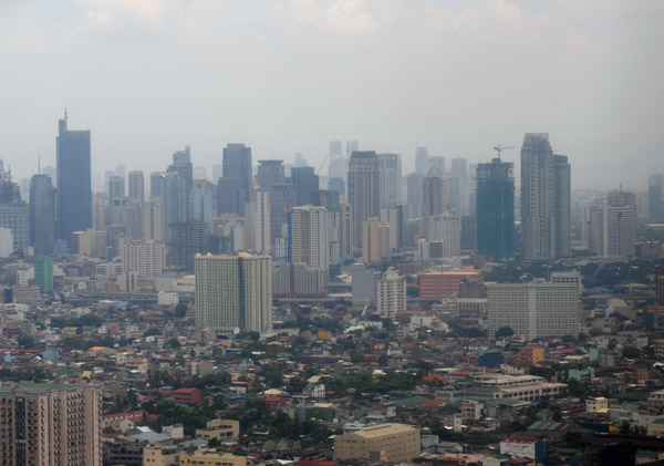 Skyscrapers of Makati City, Manila, Philippines |
 Roxas Blvd looking north, Manila, Philippines |
 View towards Makati from short final Rwy 13 at MNL |
 Church on F.B. Harrison at Taft Ave, Baclaran, Manila, Philippines |
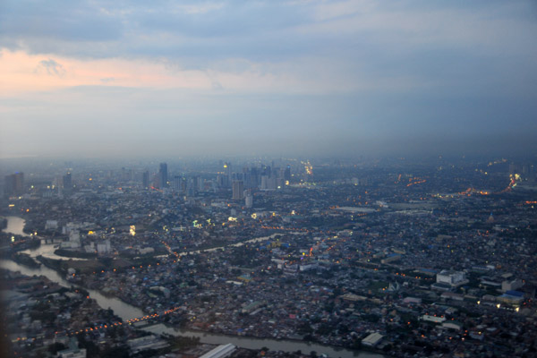
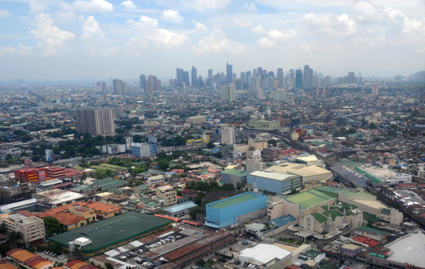
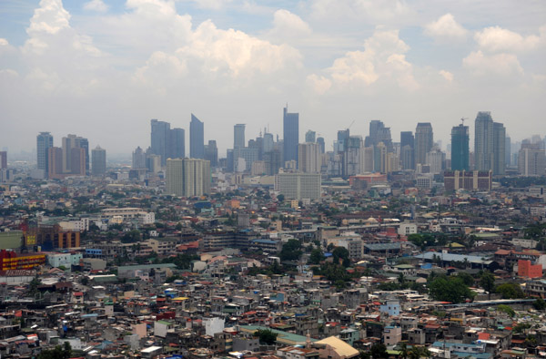
 Manila, Philippines |
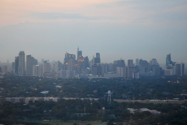
 Makati City, Manila, Philippines |
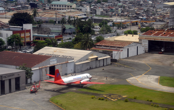 North end of Manila domestic airport |
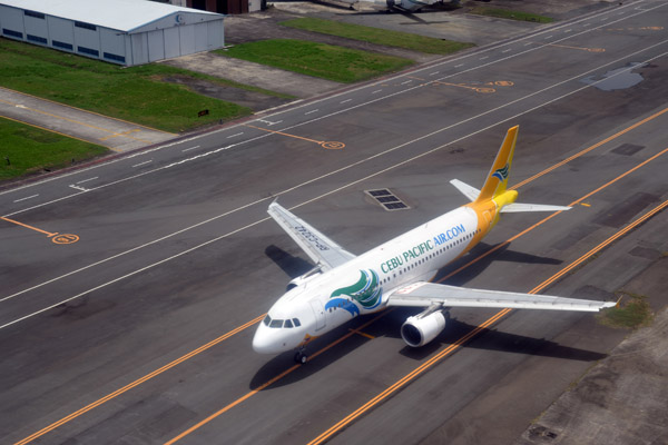 Cebu Pacific A320 taxiing for Rwy 13 at MNL (RP-C3242) |
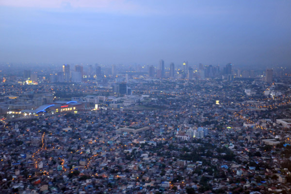
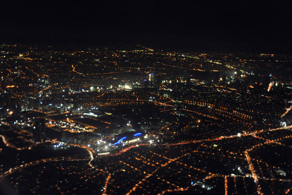
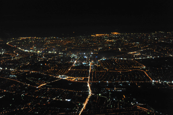
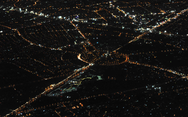
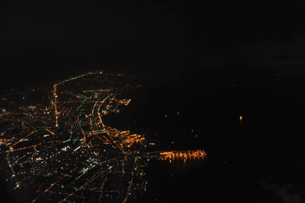
 Manila, Philippines, at night |
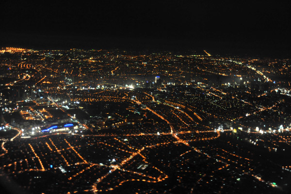
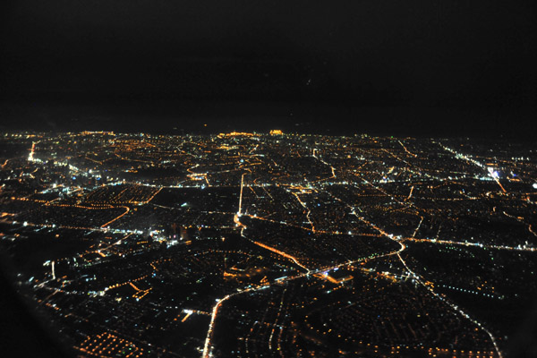
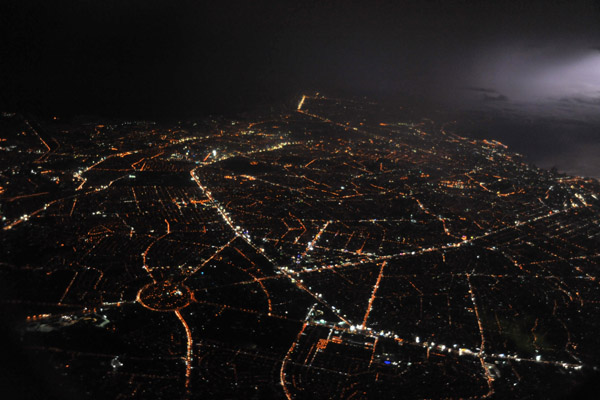
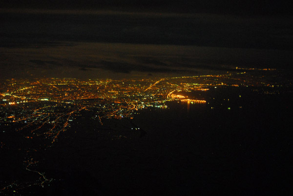
 Manila, Philippines, at night |
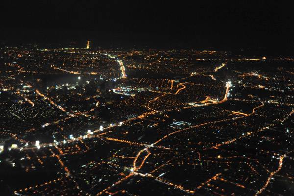
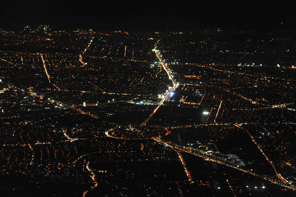
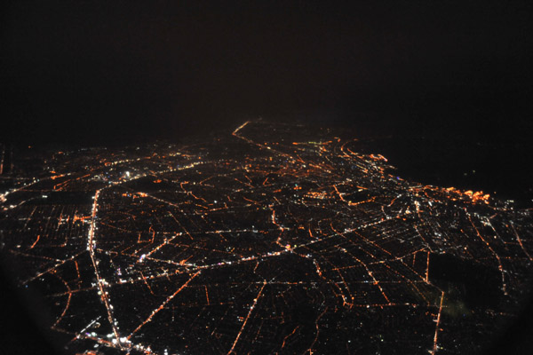
 Manila, Philippines, at night |
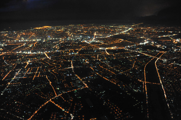
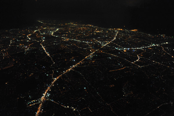
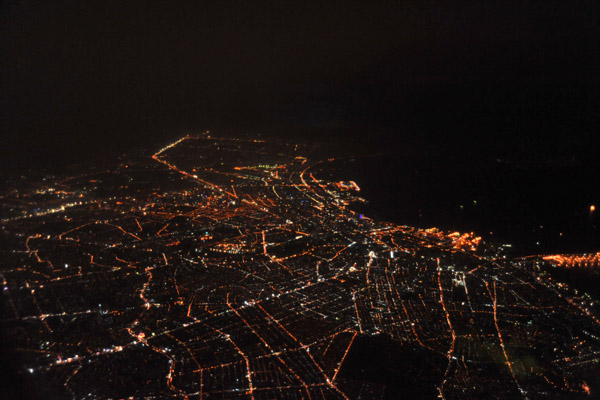
 Manila, Philippines, at night |
 Manila, Philippines, at night |
 Manila, Philippines, at night |
 Manila, Philippines, at night |
 Manila, Philippines, at night |
 Manila, Philippines, at night |
 Quezon Memorial Circle, Quezon City, Philippines, at night |
 Thunderstorm with the lights of Manila, Philippines |
 Manila, Philippines, at night |
 Manila, Philippines, at night |
 Manila, Philippines, at night |
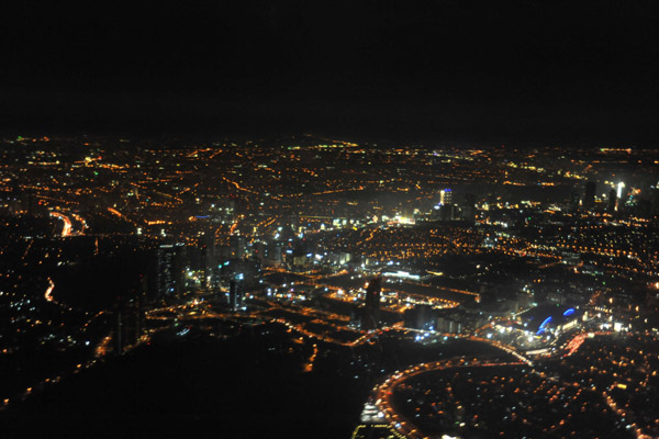
 Night aerial of Manila, Philippines |
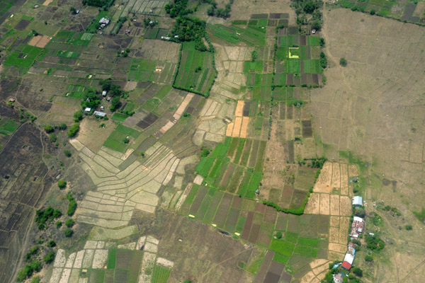
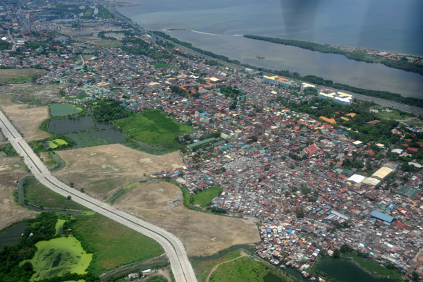
 Rice paddies south of Manila, Philippines |
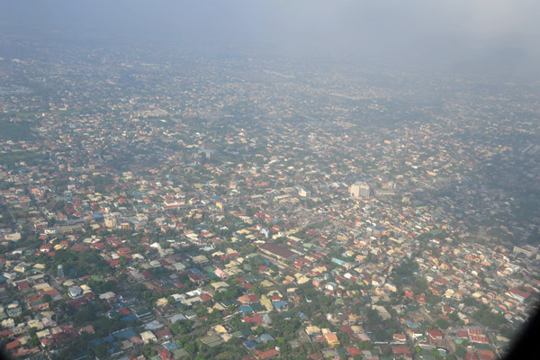
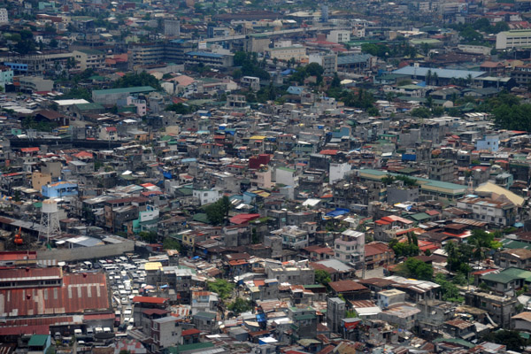
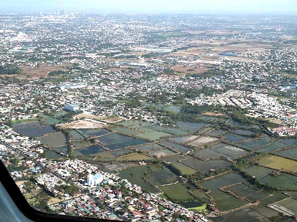
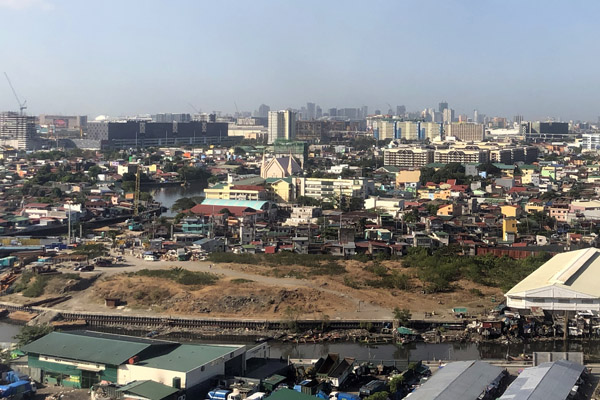
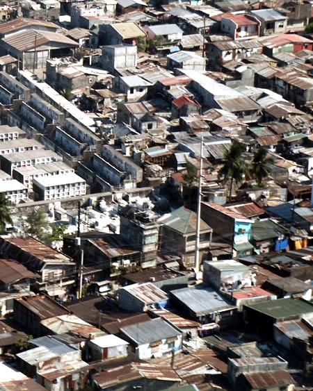 Manila, Philippines |
 Sunset - Bataan Peninsula, Philippines |
 Sunset - Bataan Peninsula, Philippines |
 Stormclouds, SE Asia |
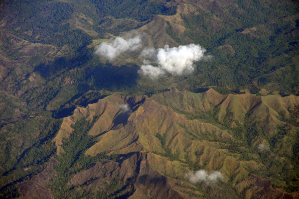
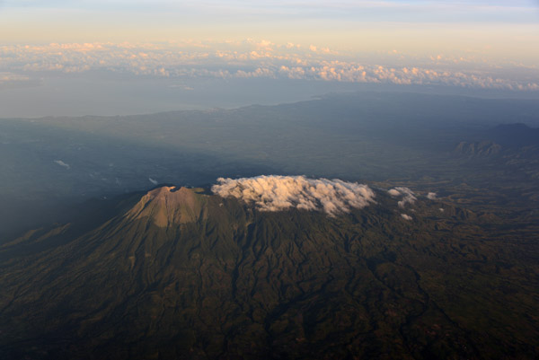
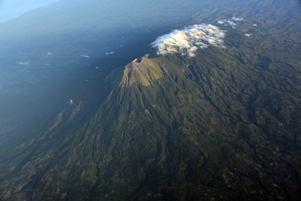
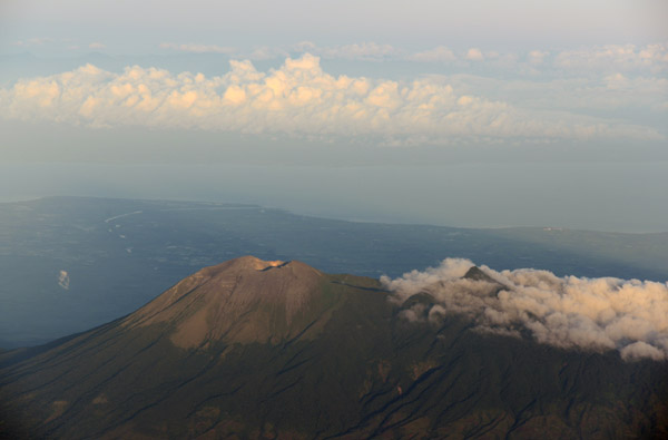 Mount Kanlaon, Negros Island - Visayas |
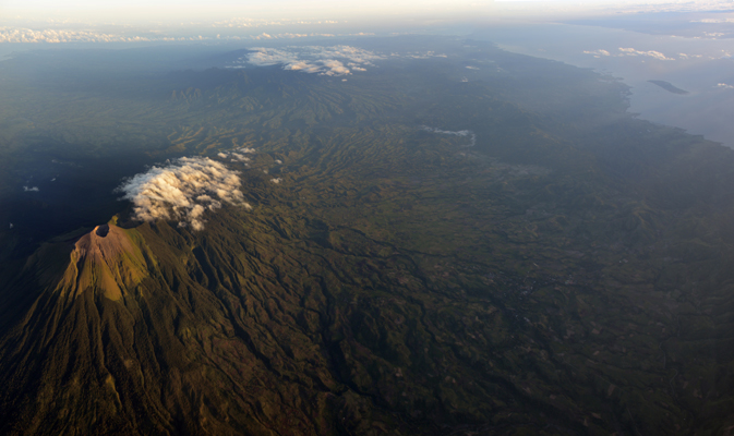
 Mount Kanlaon, Negros - Visayas |
 Negros, Central Visayas, Philippines |
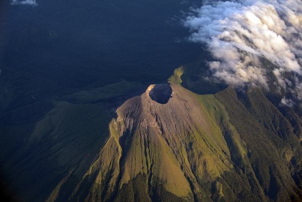
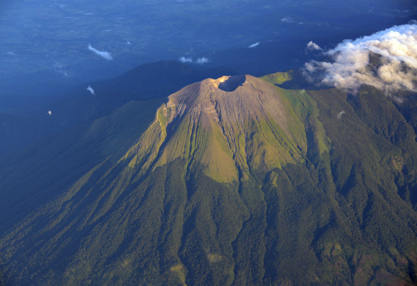 Mount Kanlaon, Negros - Visayas |
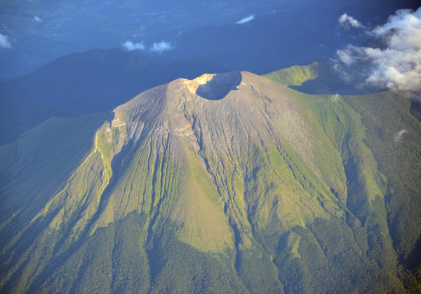 Mount Kanlaon, Negros - Visayas |
 Mount Kanlaon, Negros - Visayas |
 Negros, Philippines |
 Mount Kanlaon, Negros - Visayas |
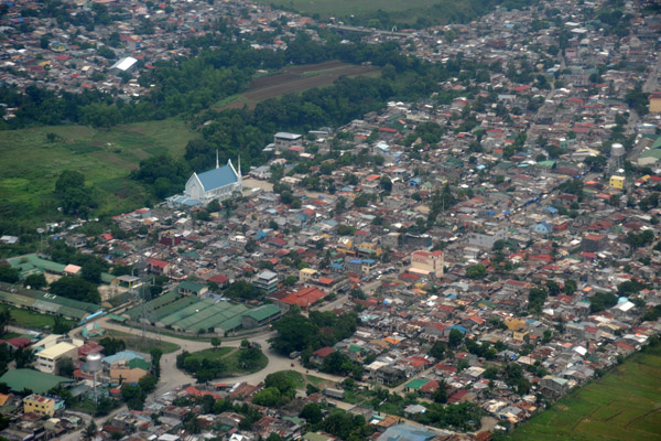
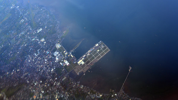 Bacolod, Negros - Visayas |
 North end of Panay, Western Visayas |
 Boracay, Philippines |
 Boracay, Philippines |
 Tiny Boracay between Panay and Tablas, Western Visayas |
 Tiny Boracay between Panay and Tablas, Western Visayas |
 Hundred Islands, Northwest Luzon |
 Sual Power Station, Northwest Luzon |
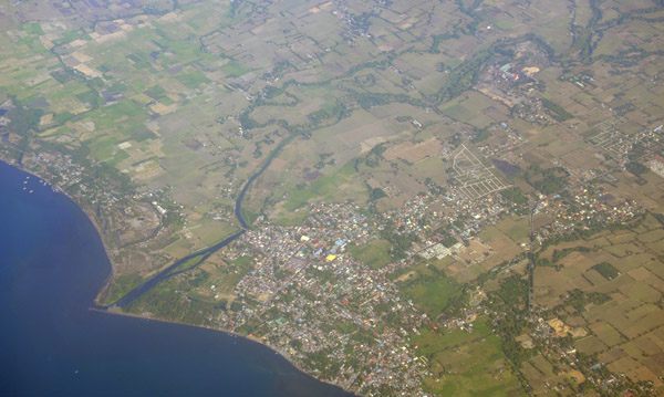
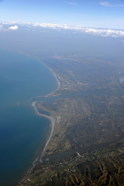 Lingayen, Northwest Luzon |
 Lingayen, Northwest Luzon |
 Sunset Philippines |
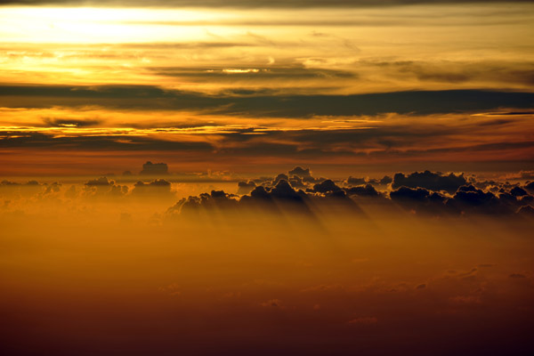 Sunset Philippines |
 Sunset Philippines |
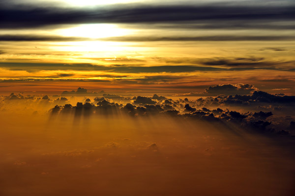 Sunset Philippines |
 Sunset Philippines |
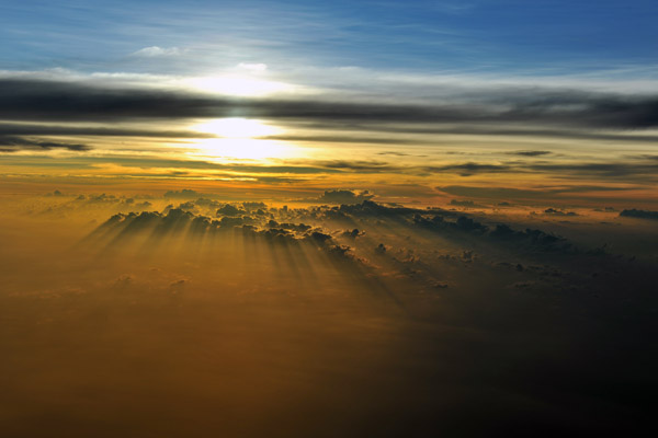 Sunset Philippines |
 Sunset Philippines |
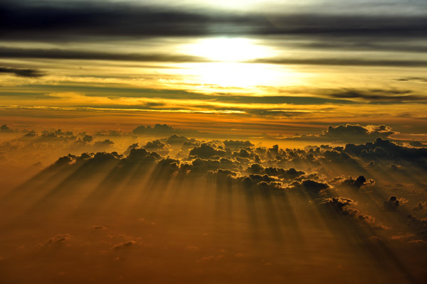 Sunset Philippines |
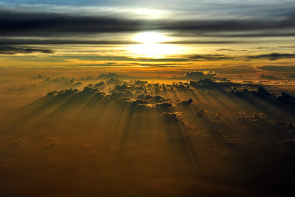 Sunset Philippines |
 Sunset Philippines |
 Sunset Philippines |
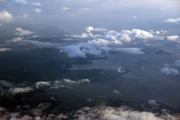 Subic Bay, Philippines |
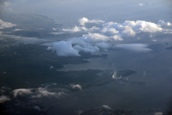 Subic Bay, Philippines |
 Cavite, Philippines |
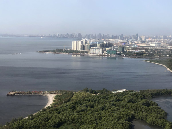
 Manila Bay, Philippines |
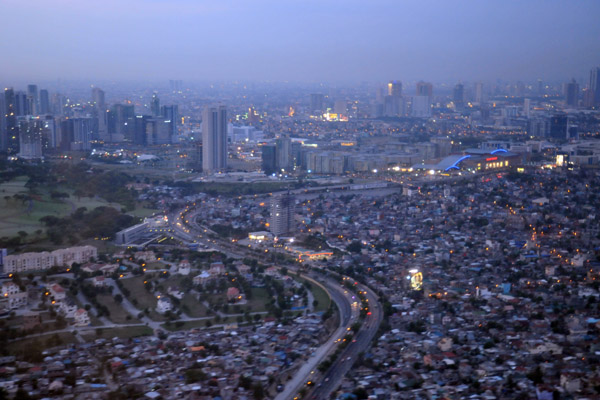
 Manila, Philippines |
 Manila, Philippines |
 Manila, Philippines |
 Manila, Philippines |
 Manila, Philippines |
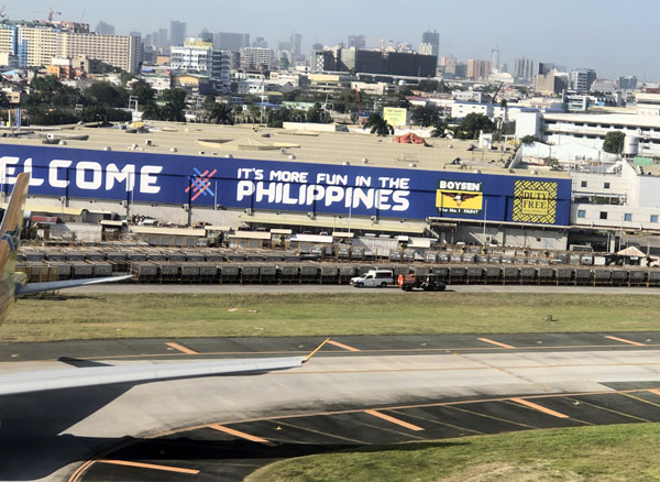 Welcome to the Philippines, Manila |
| comment | share |