


|
|
|
|
|
|
| Brian McMorrow | profile | all galleries >> Aviation >> Aerial Photos >> Aerials-Asia >> Aerials - Nepal Bhutan | tree view | thumbnails | slideshow |
:: Everest Mountain Flight :: |
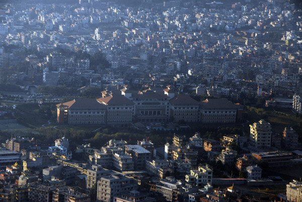 Hyatt Regency Kathmandu |
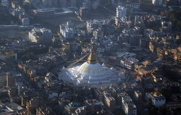 Bodnath Stupa near Kathmandu, Nepal |
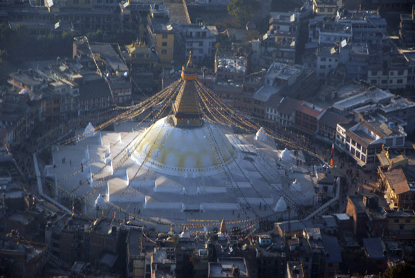 Bodnath Stupa near Kathmandu, Nepal |
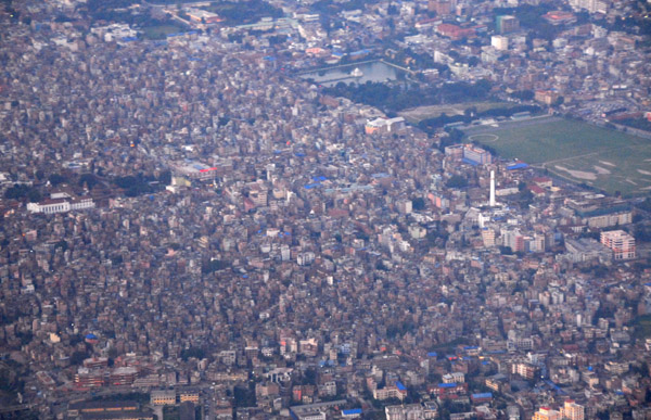
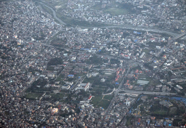
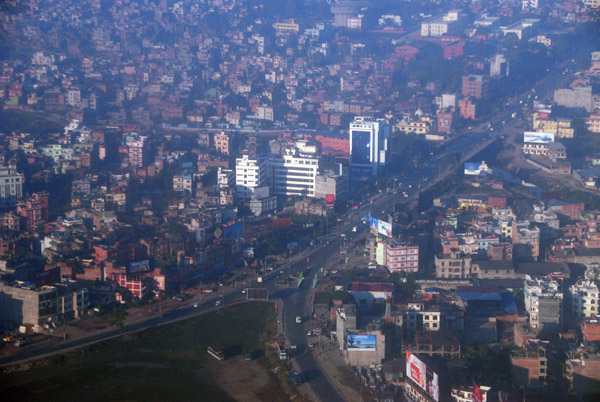 Kathmandu, Nepal |
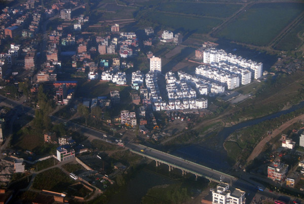 Kathmandu, Nepal |
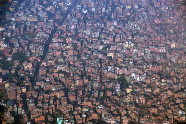 Kathmandu, Nepal |
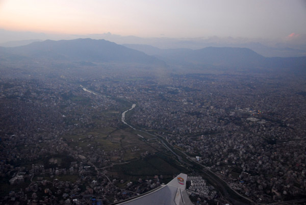
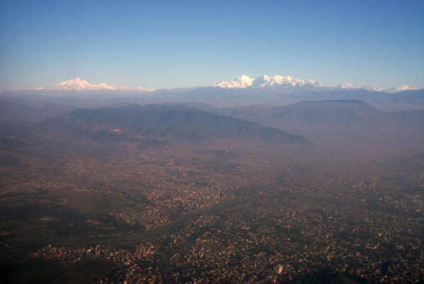
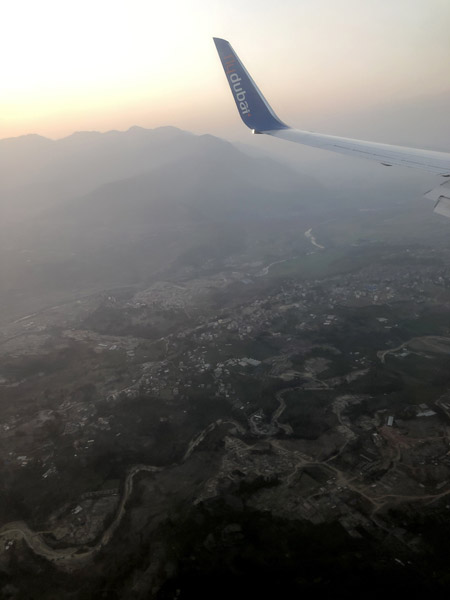
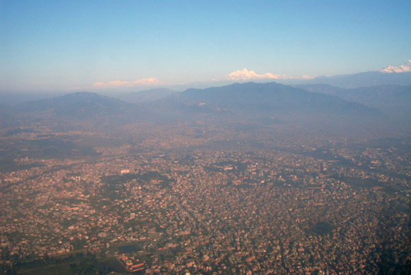 Rising above the smog layer of Kathmandu, Nepal |
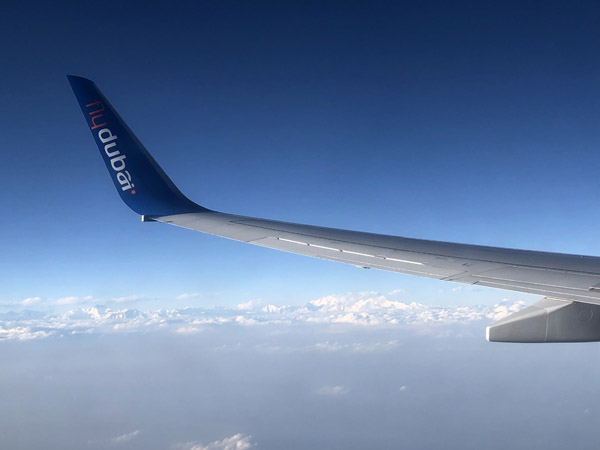
 Departing Kathmandu, Nepal |
 Kathmandu, Nepal |
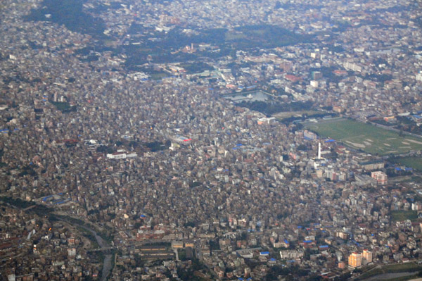 Kathmandu, Nepal |
 Kathmandu, Nepal |
 (Former) Royal Palace, Kathmandu, Nepal |
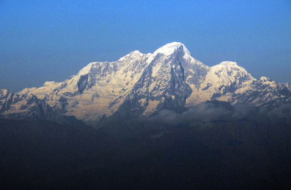
 View NW from Kathmandu to Ganesh Himal (left) 7405m/24,294 ft) |
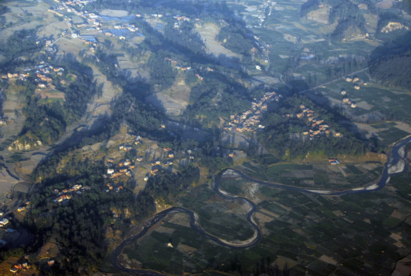 Outside Kathmandu, Nepal |
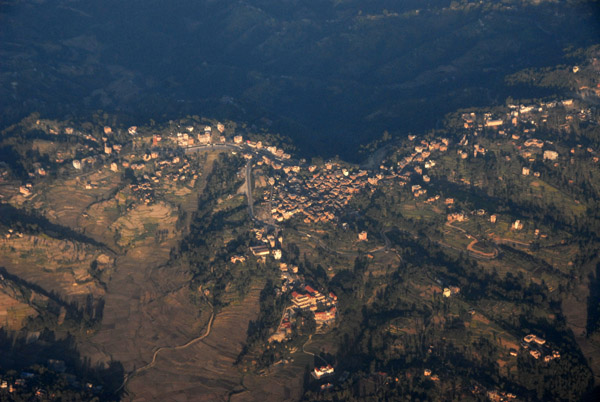
 Sankhu, Nepal |
 NepalAerialsNov07 022.jpg |
 NepalAerialsNov07 025.jpg |
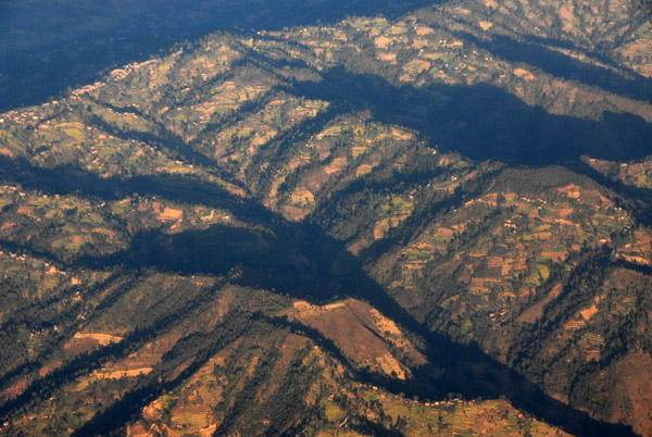
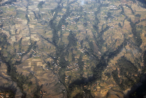 Nepal mountainside above the Kathmandu Valley completely terraced and covered with houses |
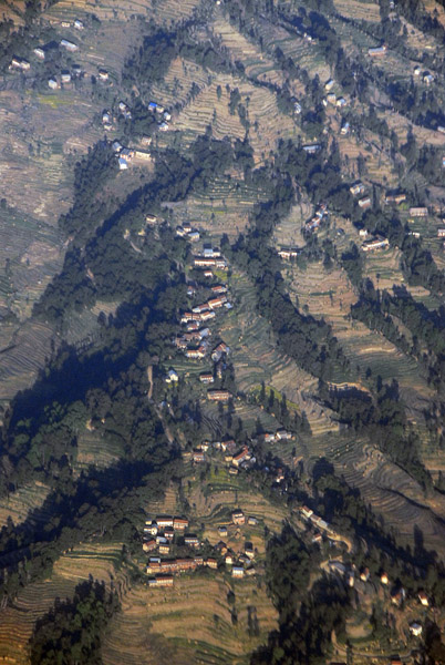 Terraced Nepal mountainside |
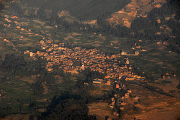
 Dhilikhel, Nepal |
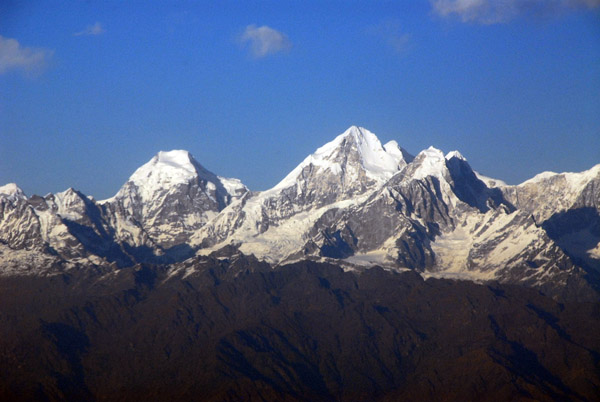
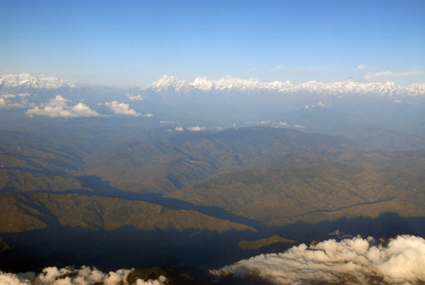
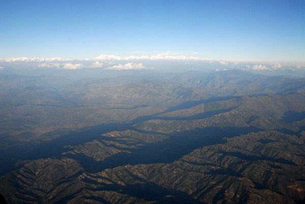 View of the Himalaya from over Dhulikhel, Nepal |
 Foothills of the Himalaya, Nepal |
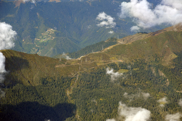
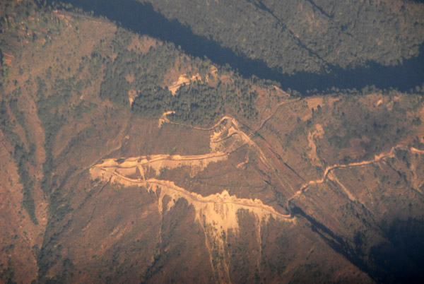 A new road being built across the mountains southeast of Kathmandu, Nepal |
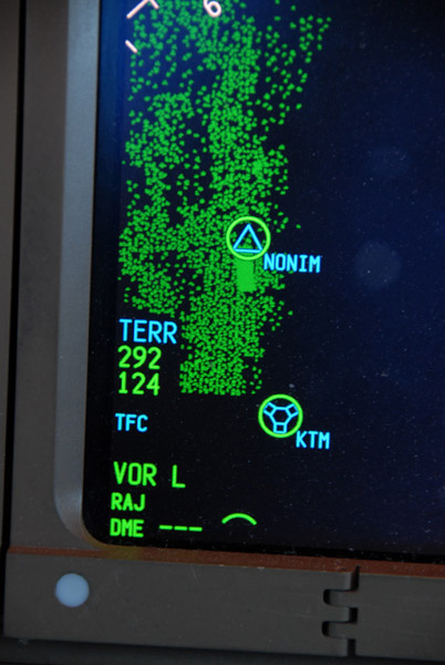 Mount Everest - EGPWS 29,200 |
 NepalAerialsNov07 057.jpg |
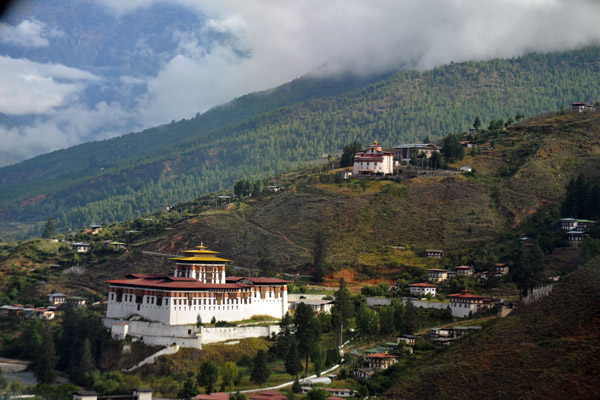 Initial climb from Paro Airport, Bhutan |
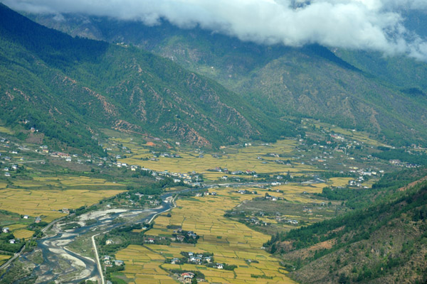
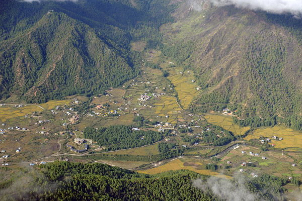
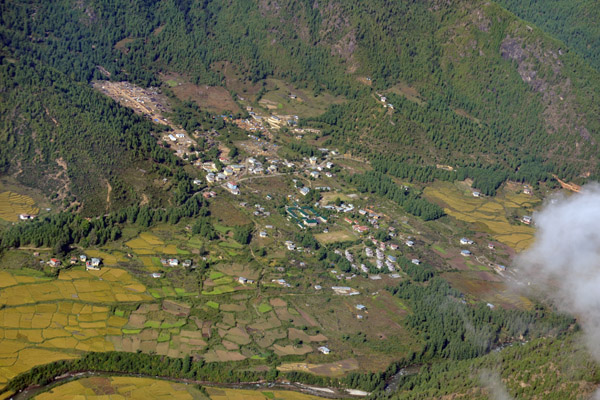
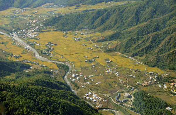
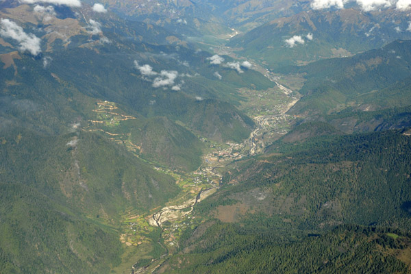
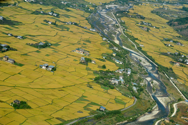 Paro Valley, Bhutan |
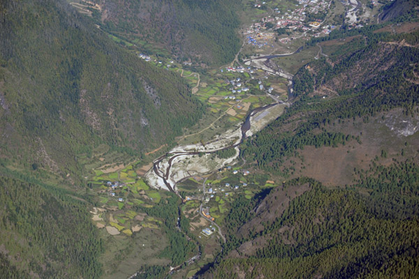
 Paro Valley, Bhutan |
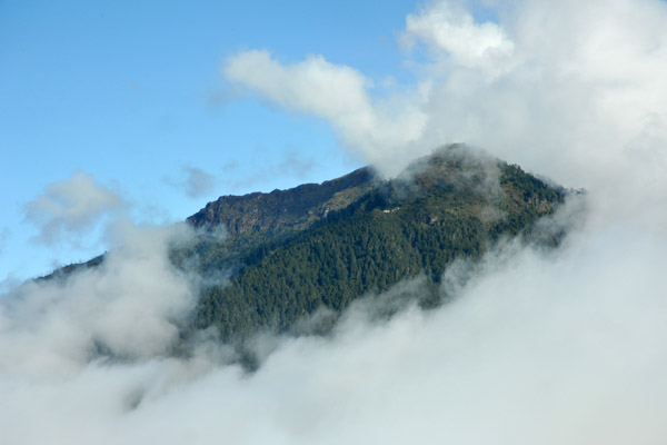
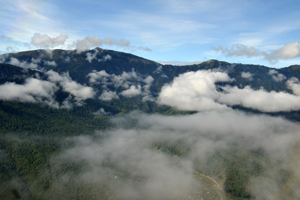 Clouds obscuring the mountains are a hazard flying in and out of Paro |
 Above the Tiger's Nest, Bhutan |
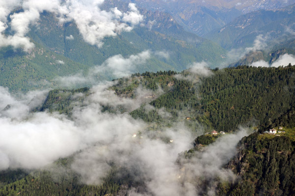 Monasteries around the Tiger's Nest, Bhutan |
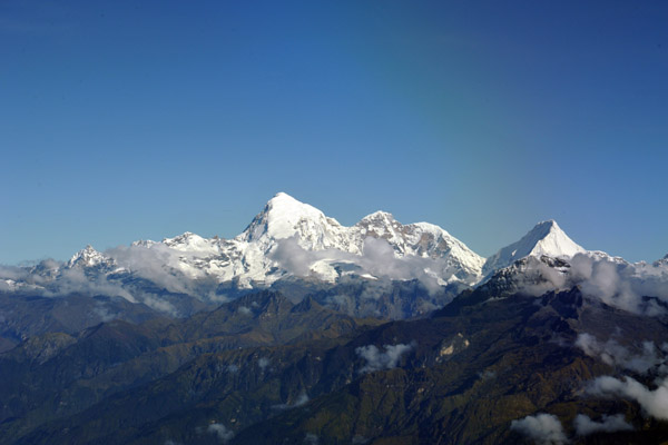
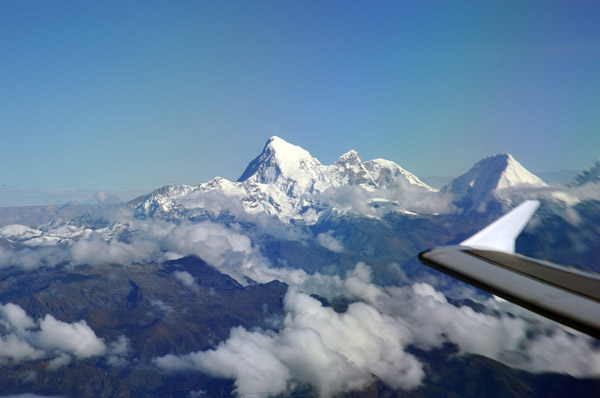
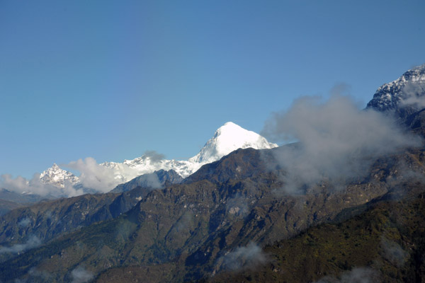 The snow covered peak of Jomolhari, Bhutan |
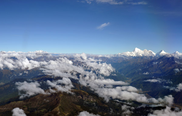
 Circling over the Paro Valley, Bhutan |
 Paro Valley, Bhutan |
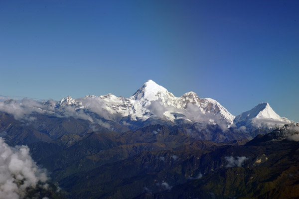
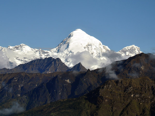 Jomolhari, Bhutan |
 Paro Valley, Bhutan |
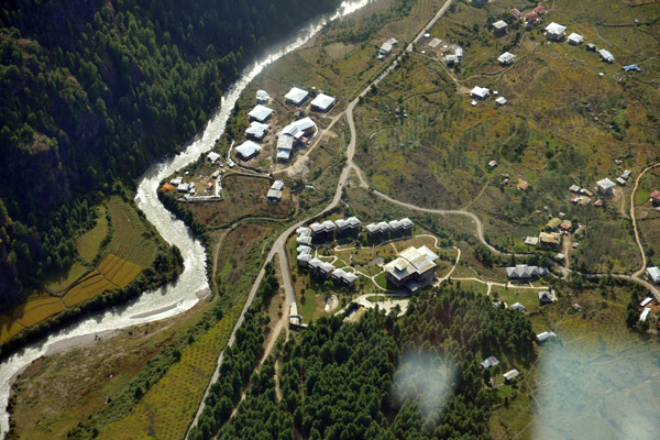 Zhiwa Ling Hotel, Paro Valley, Bhutan |
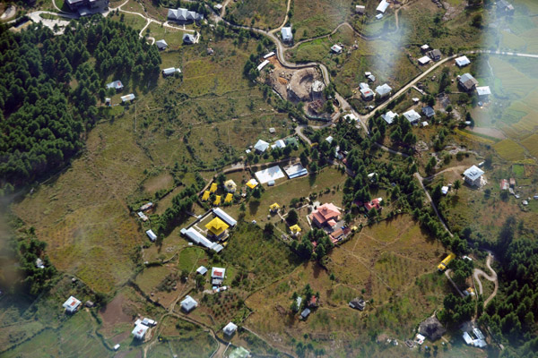 Temple in the Paro Valley, Bhutan |
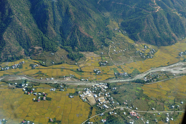 Paro Valley, Bhutan |
 Chelela Pass climbing west out of the Paro Valley |
 Jomolhari, Bhutan |
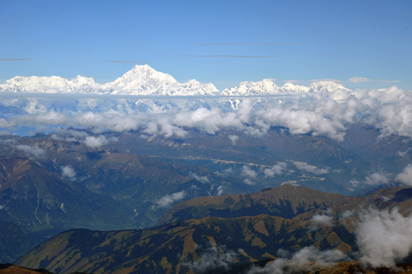
 Kanchenjunga (8586m) comes into view as we climb out of Bhutan towards Sikkim |
 Jomolhari, Bhutan |
 Haa Valley, Bhutan |
 Haa Valley, Bhutan |
 Kanchenjunga, Sikkim-Nepal border |
 Leaving Bhutan behind - route of flight to Delhi right over Kathmandu |
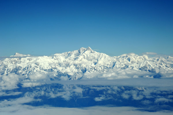 Kanchenjunga, Sikkim (India)-Nepal border |
 Kanchenjunga, Sikkim-Nepal |
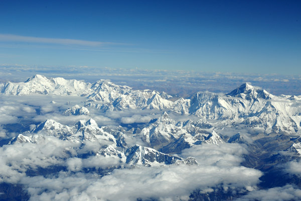
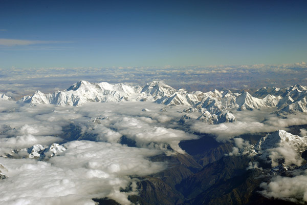
 Himalaya of Eastern Nepal |
 Kanchenjunga, Sikkim-Nepal |
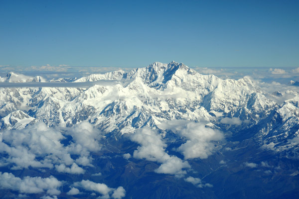
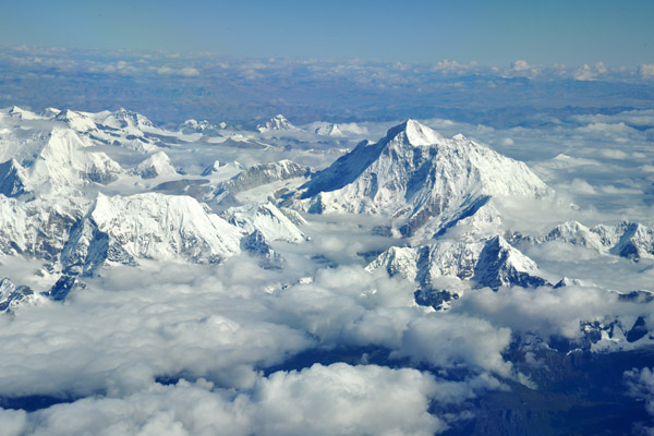
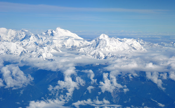 Makalu & Everest, Great Himalaya Range |
 Makalu & Everest, Great Himalaya Range |
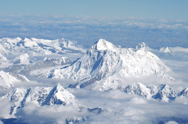
 Makalu (8485m), everest on left |
 Approaching Mt. Everest |
 Makalu (8485m), Nepal-Tibet (China) |
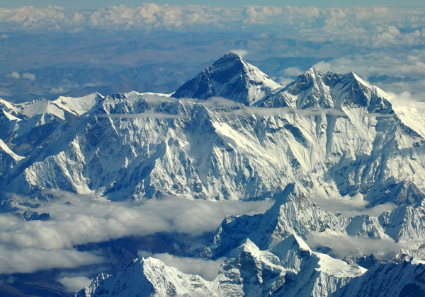
 Mt Everest from the south side at FL380 |
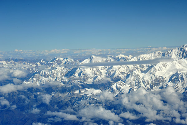
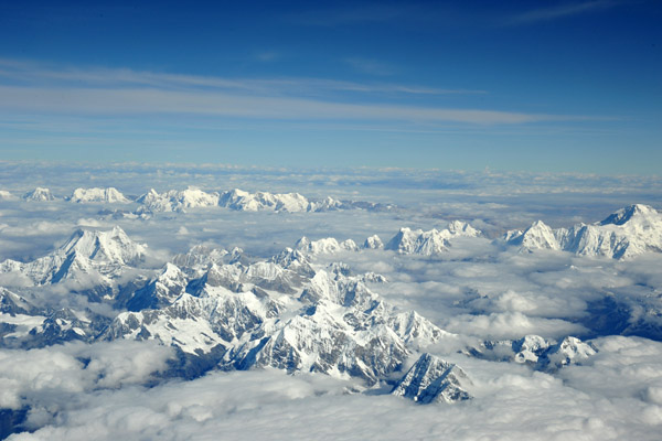
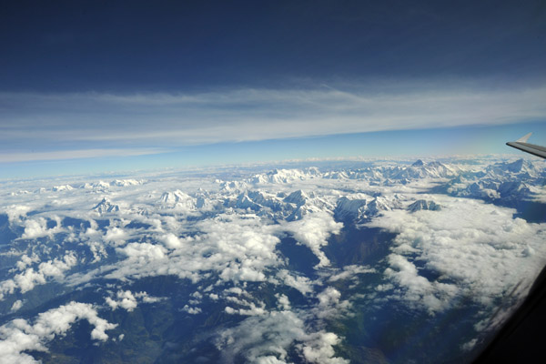
 The Himalaya to the west of Everest |
 Flying over central Nepal towards Kathmandu at 38,000 ft |
 Makulu & Everest |
 Makulu |
 Everest (on left) |
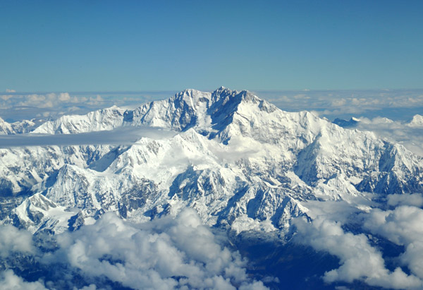
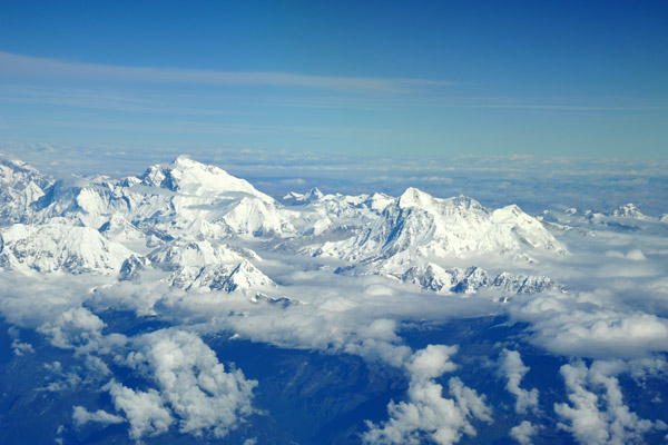
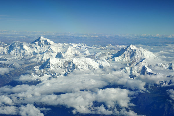
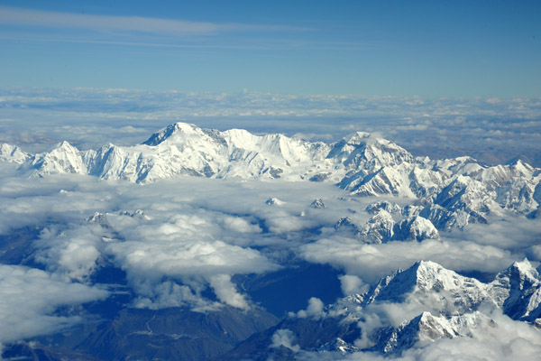
 Mt. Everest and the Great Himalaya Range |
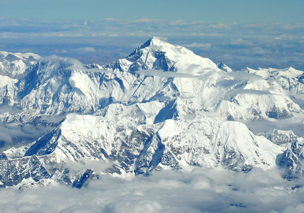
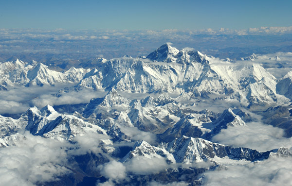
 World's highest point - Mt. Everest |
 Mt. Everest and the Great Himalaya Range |
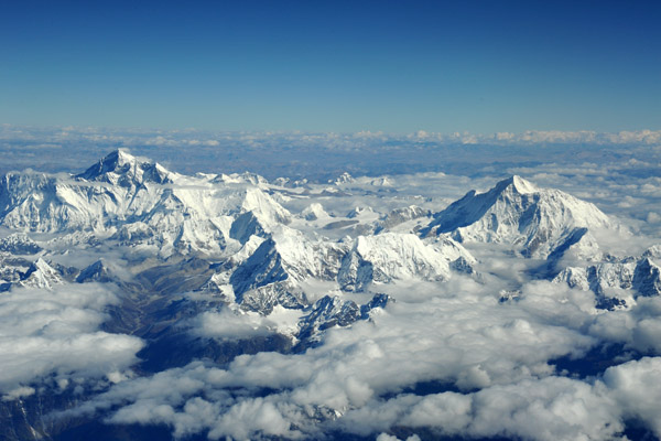
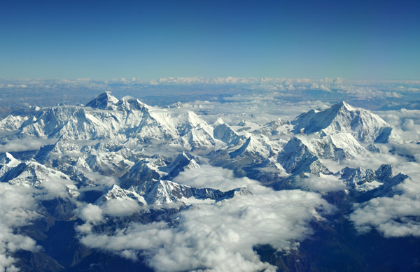
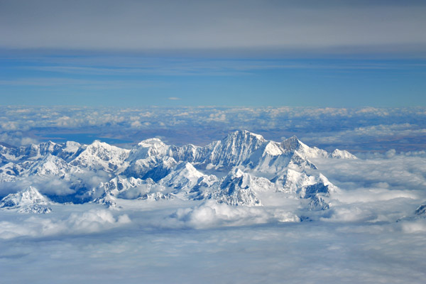
 Great Himalaya Range - Cho Oyu to Everest to Makulu |
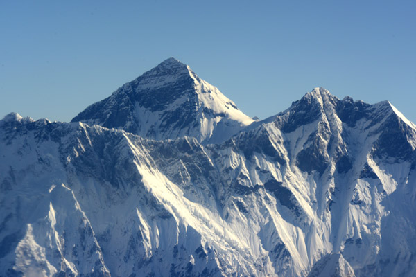
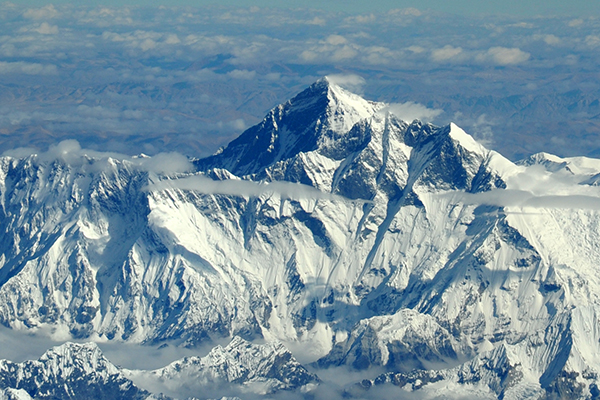
 Mt. Everest |
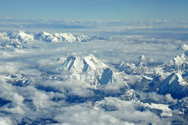
 Cho Oyu (8201m) from the Nepal side |
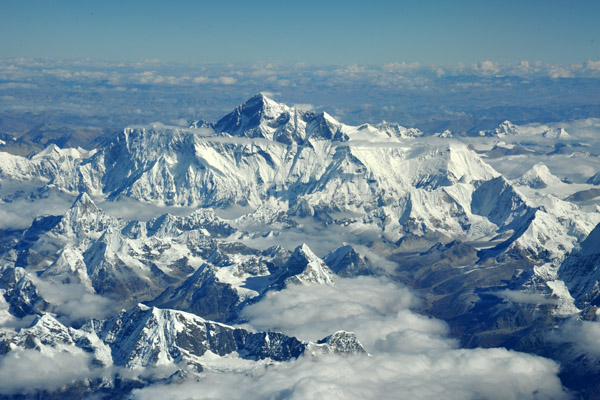
 Mt Everest |
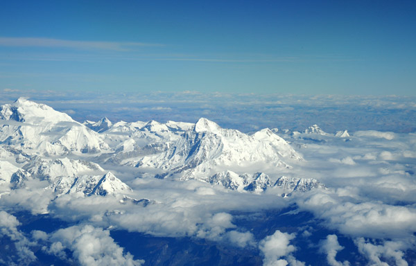
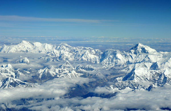
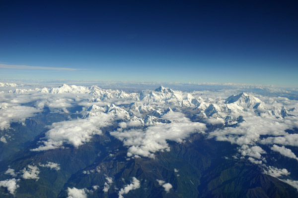
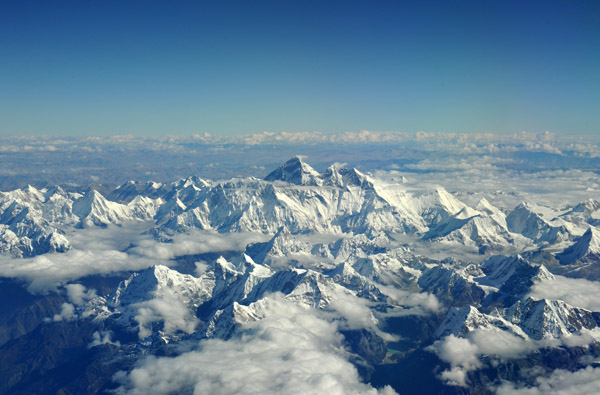
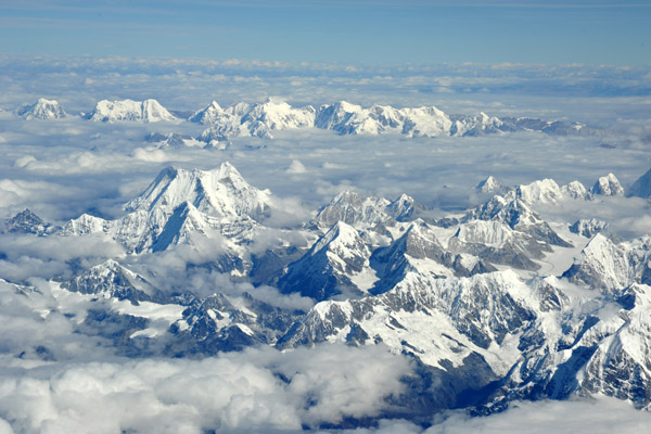
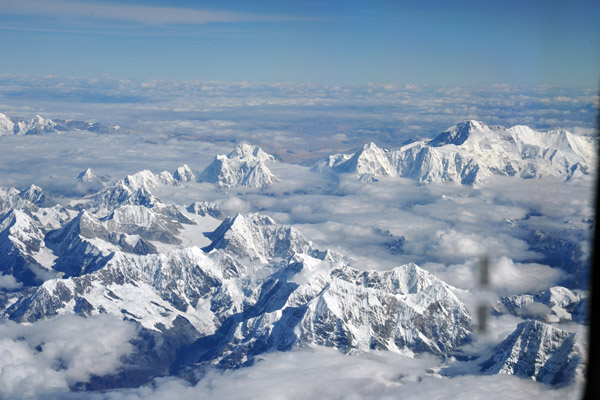
 Great Himalaya Range |
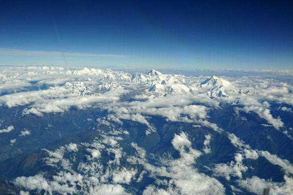
 Great Himalaya Range |
 Cho Oyu towards the left of the frame |
 Cho Oyu on the far right of the photo, Melungtse on the left |
 Melungtse (7181m) towards the left |
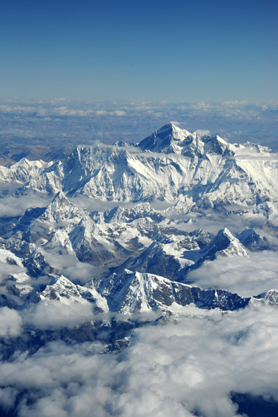
 Mt Everest seen from the southwest over Nepal |
 Great Himalaya Range - Cho Oyu on the right |
 Clouds hide the valleys and Namche Bazaar |
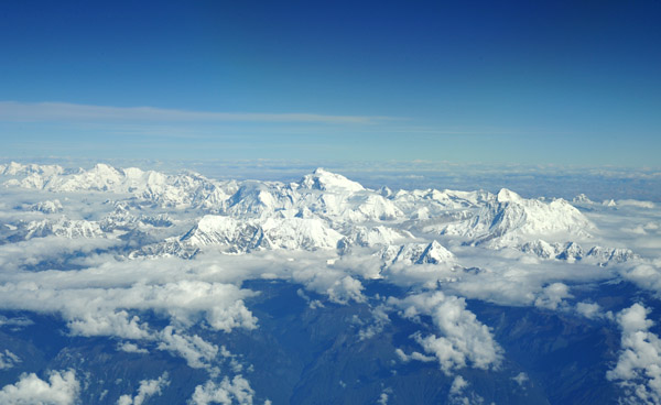
 Himalaya of central Nepal |
 Shishapangma (8027m) and Molamenqing (7661m), Tibet-China |
 Descent into Kathmandu, Nepal |
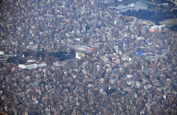
 Kathmandu, Nepal |
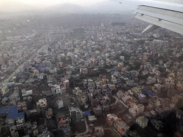 Kathmandu, Nepal |
| comment | share |