photo sharing and upload picture albums photo forums search pictures popular photos photography help login
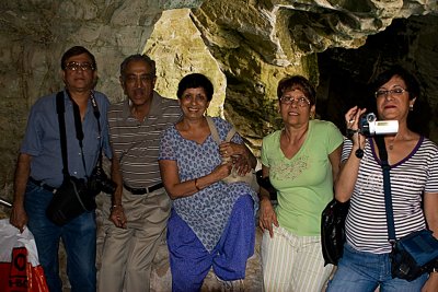
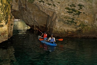
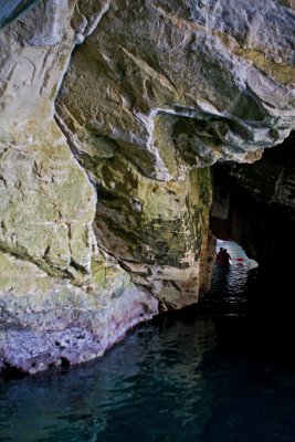
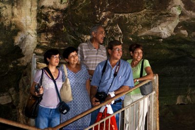
yosi aptekar | profile | all galleries >> Jennie & Shashi visiting Israel >> At Rosh Hanikra tree view | thumbnails | slideshow

At Rosh Hanikra

The Book of Joshua mentions "Misraphot Mayim" as a place south of Rosh HaNikra that was the border of the Israelite tribes of the time (13:6). Jewish sages referred to the cliff as "The Ladder of Tyre" (Hebrew: sullam Tzor‎).[citation needed] The site was later renamed A-Nawakir ("the grottos") after an Arab conquest. The present name, Rosh HaNikra, is a hebracized version of a latter dated Arabic variation "Ras-an-Nakura".
Throughout human history, Rosh HaNikra served as a passage point for trade caravans and armies between Lebanon, Syria, Israel, Egypt, and Africa. The British dug a tunnel through the nearby rocks for trains on what was the Cairo-Istanbul railway. A bridge was destroyed by Jewish underground fighters prior to 1948 during the operation Night of the bridges.
Rosh Hanikra was the site where Israeli and Lebanese officials negotiated and concluded an armistice in 1949 which ended the Lebanese-Israeli component of the 1948 War of Israeli Independence.
_MG_0947.jpg
_MG_0947.jpg
_MG_0948.jpg
_MG_0948.jpg
_MG_0950.jpg
_MG_0950.jpg
_MG_0951.jpg
_MG_0951.jpg
_MG_0952.jpg
_MG_0952.jpg
_MG_0954.jpg
_MG_0954.jpg
_MG_0955.jpg
_MG_0955.jpg
_MG_0956.jpg
_MG_0956.jpg
IMG_5097.jpg
IMG_5097.jpg
IMG_5099.jpg
IMG_5099.jpg
_MG_0960.jpg
_MG_0960.jpg
_MG_0961.jpg
_MG_0961.jpg
_MG_0964.jpg
_MG_0964.jpg
_MG_0967.jpg
_MG_0967.jpg
_MG_0972.jpg
_MG_0972.jpg
_MG_0975.jpg
_MG_0975.jpg
_MG_0976.jpg
_MG_0976.jpg
_MG_0980.jpg
_MG_0980.jpg
_MG_0983.jpg
_MG_0983.jpg
_MG_0985.jpg
_MG_0985.jpg
_MG_0986.jpg
_MG_0986.jpg
_MG_0987.jpg
_MG_0987.jpg
_MG_0988.jpg
_MG_0988.jpg
_MG_0989.jpg
_MG_0989.jpg
_MG_0991.jpg
_MG_0991.jpg
_MG_0996.jpg
_MG_0996.jpg
IMG_5104.jpg
IMG_5104.jpg