


|
|
|
|
|
|
| aw11mr2 | profile | all galleries >> Fall 2007 Trip >> Click pic for for Trinity Site New Mexico pictures | tree view | thumbnails | slideshow |
| previous page | pages 1 2 3 ALL | next page |
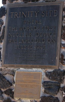 monument plate |
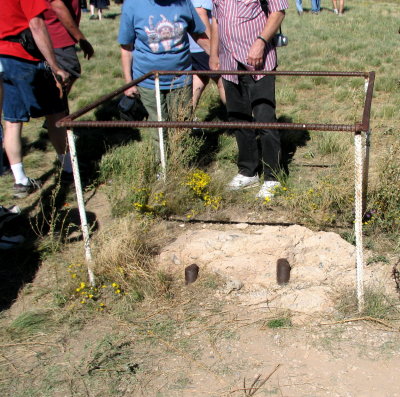 Remains of the tower foundation |
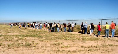 Crowd looking at the photos posted on the fence |
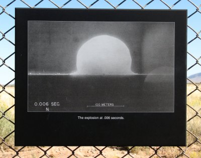 photograph |
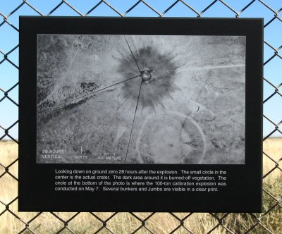 post blast |
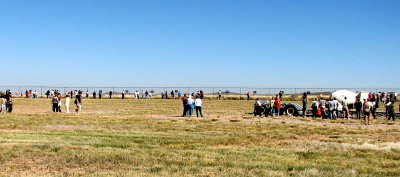
panorama view |
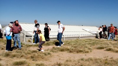 shelter protecting portion of the original crater |
 sign |
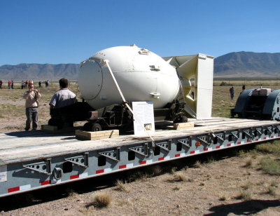 Fatman sign |
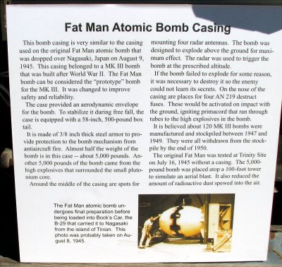 Fatman bomb casing |
 pan |
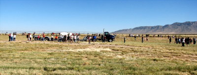 pan |
| previous page | pages 1 2 3 ALL | next page |
| comment | share |