


|
|
|
|
|
|
| Suze | profile | all galleries >> Galleries >> Antarctica... Getting Oriented: Maps | tree view | thumbnails | slideshow |
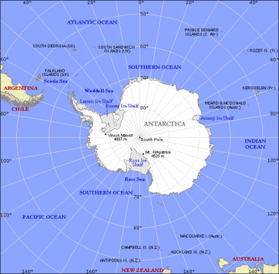 Global position.gif |
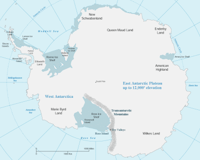 Antarctica with some detail.GIF |
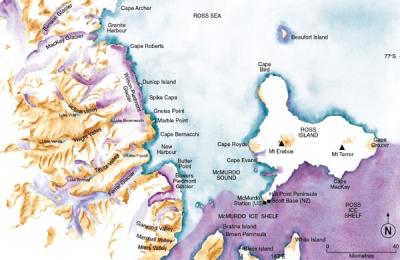
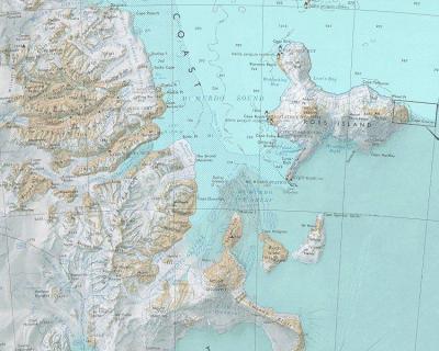 Ross Island Region.jpg |
 Oct 05 satellite image.jpg |
 Nice map of Ross Island Dry Valleys.jpg |
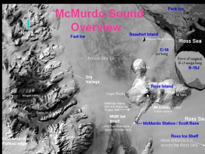
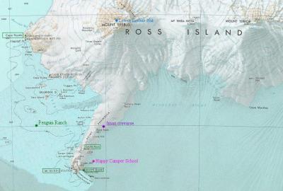 Close-up of McMurdo Station area.jpg |
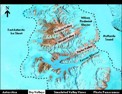 Dry Valleys overview.jpg |
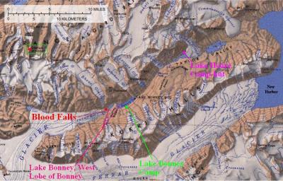 Taylor Valley of the Dry Valleys.JPG |
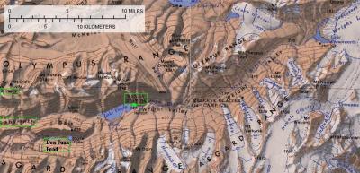 Wright Valley of the Dry Valleys.JPG |
| comment | share |
| Guest | 25-Jan-2008 17:07 | |
| Claire Bonavarie | 26-Sep-2006 00:55 | |