photo sharing and upload picture albums photo forums search pictures popular photos photography help login
Alan Hartmann | profile | all galleries >> Covered Bridges >> Covered Bridges of Vermont >> 45-14-02 / 45-14-64 #2 Windsor County, North Hartland East & West Twin tree view | thumbnails | slideshow | map

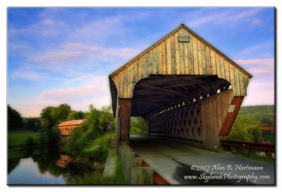
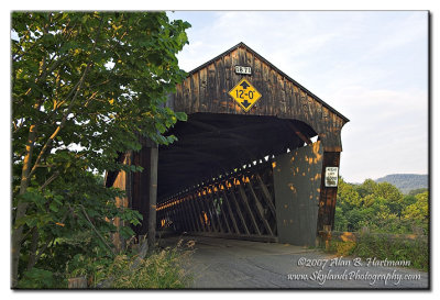
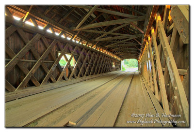
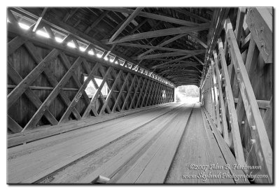
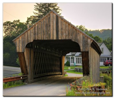
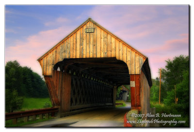
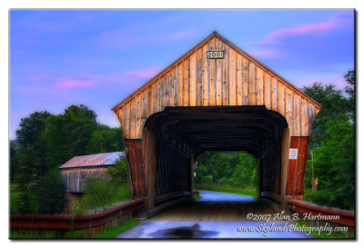
45-14-02 / 45-14-64 #2 Windsor County, North Hartland East & West Twin

Rt. 5 to Evarts Rd (at the I-91 overpass), 0.1 mile SE to Mill St, 0.1 mile to bridges. Hartland VT

Spans the Ottauquechee River

45-14-02 is also known as the Willard CB.

N43 35.610 W72 21.010
PBase Maps
[ Yahoo! Maps ]
North Hartland, VT
IA7X9884.JPG
IA7X9884.JPG
IA7X9888.JPG
IA7X9888.JPG
IA7X9896_4_5.jpg
IA7X9896_4_5.jpg
IA7X9896_4_5-BW.jpg
IA7X9896_4_5-BW.jpg
IA7X9899_7.jpg
IA7X9899_7.jpg
IA7X9906_5.jpg
IA7X9906_5.jpg
IA7X9910_08-09.jpg
IA7X9910_08-09.jpg