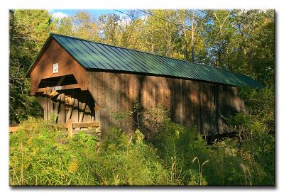
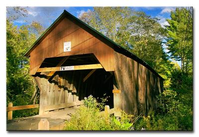
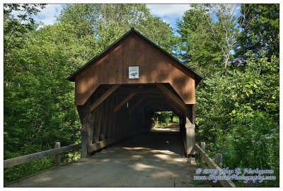
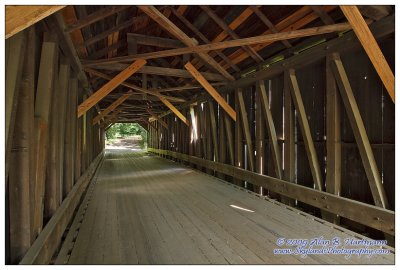
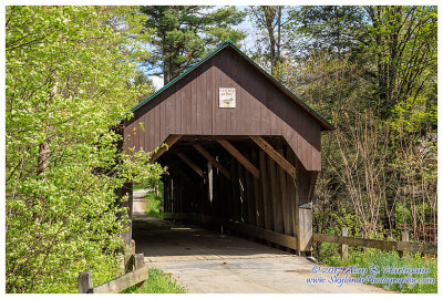
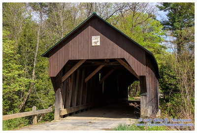
Alan Hartmann |
profile
|
all galleries
>>
Covered Bridges
>>
Covered Bridges of New Hampshire
>> #23 -- Blow-Me-Down Bridge, Cornish, NH (WGN 29-10-10)
tree view
| thumbnails |
slideshow
|
map
#23 -- Blow-Me-Down Bridge, Cornish, NH (WGN 29-10-10)
On Mill Rd, apx 1/3 mile south of Rt. 12A.
Also known as the Bayliss Covered Bridge.
N43 31.030 W72 22.440
Added to
PBase Maps
4/30/08
Mill/Lang Rd., Cornish NH
CRW_6286L
CRW_6291L
SKY32470.jpg
SKY32472.jpg
SKY32475.jpg
SKY01104.jpg
SKY01105.jpg
SKY01109.jpg
comment
|
share
Type your message and click Add Comment
It is best to
login
or
register
first but you may post as a guest.
Enter an optional name and contact email address.
Name
Name
Email
help
private comment
click on thumbnails for full image